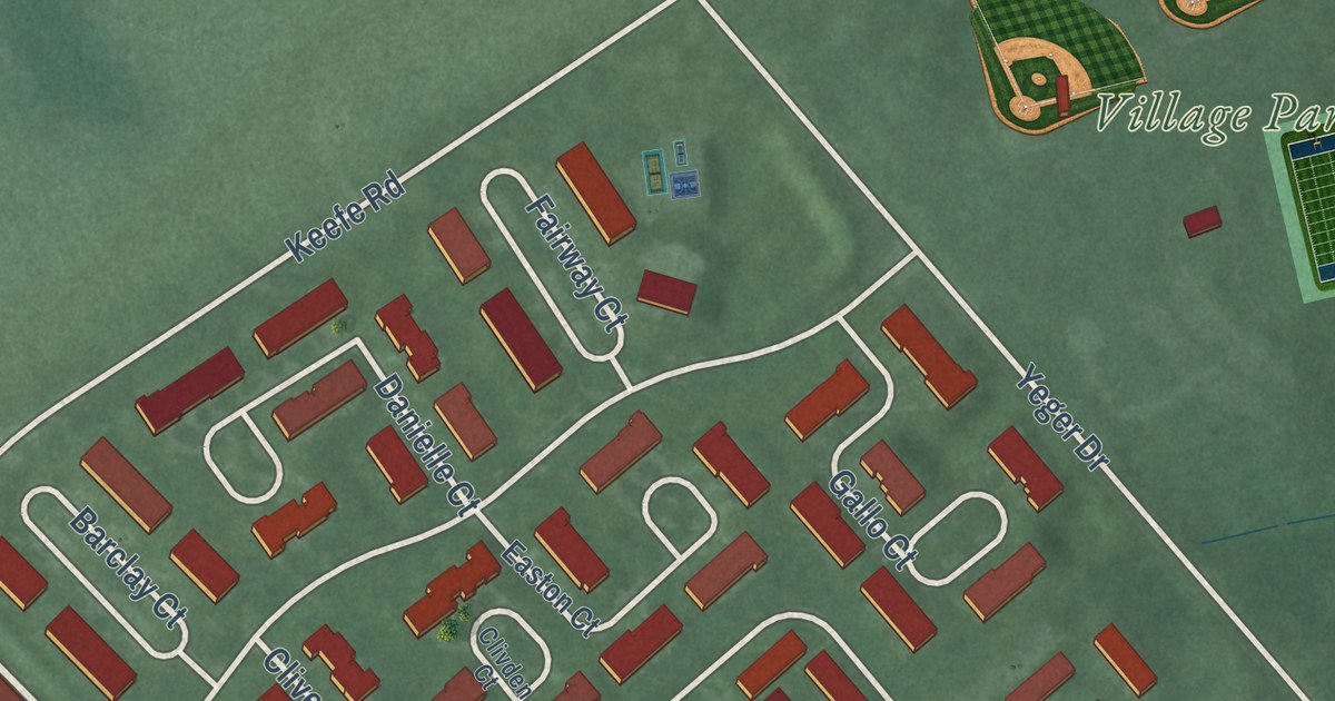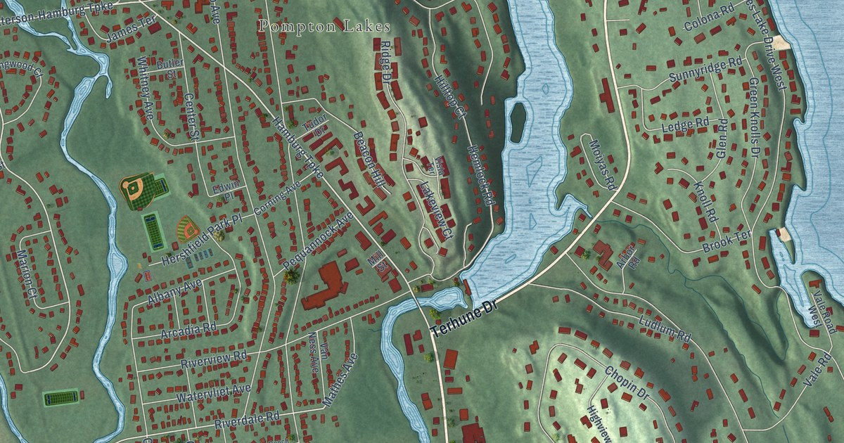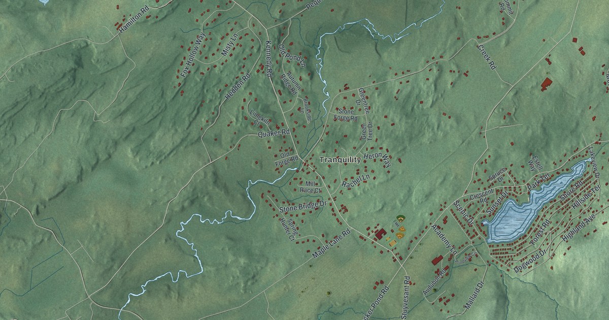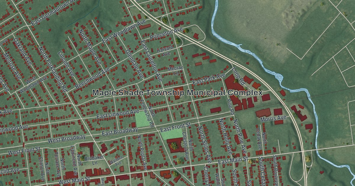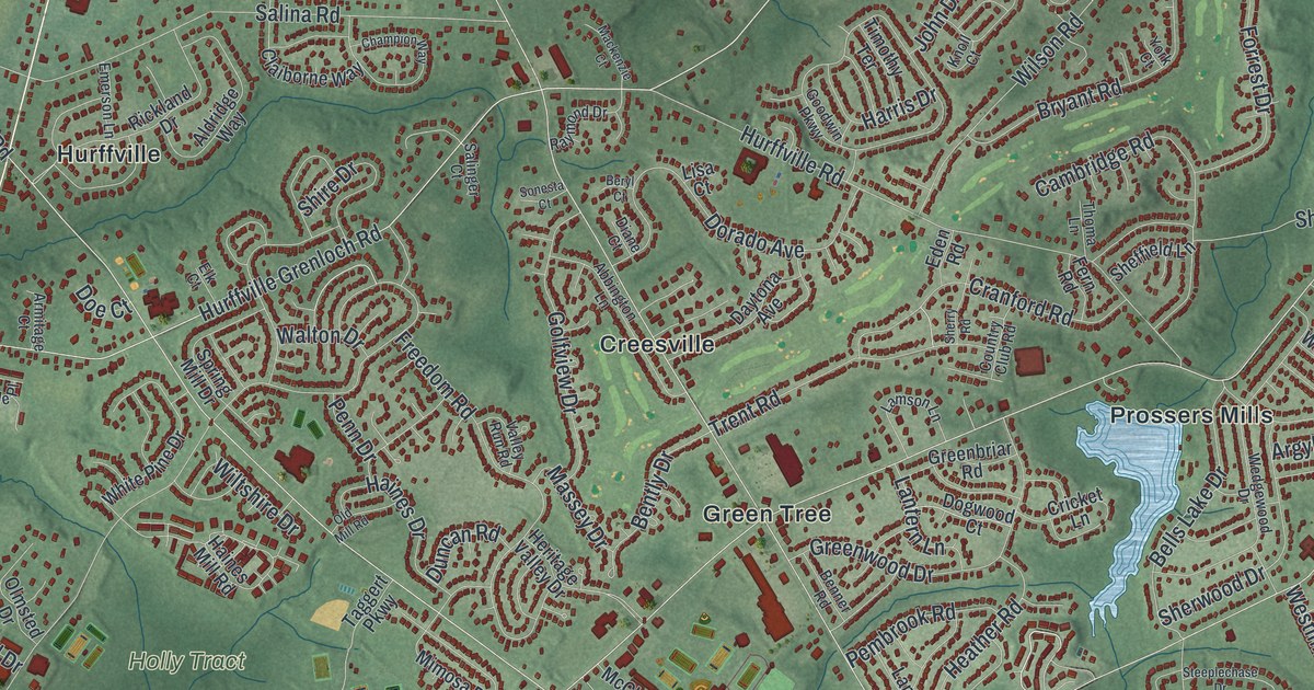
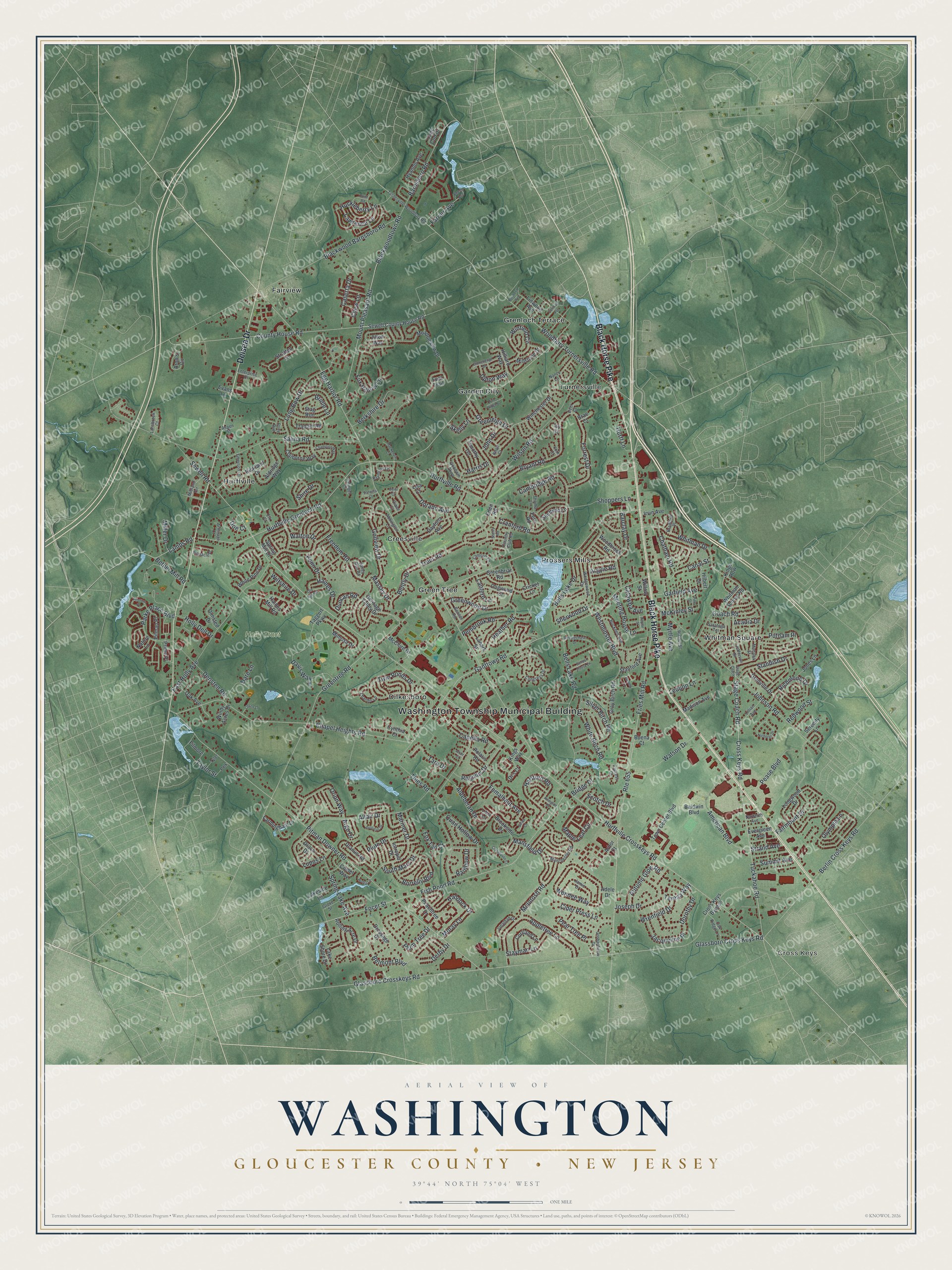
This beautifully detailed map of Washington, Gloucester County, New Jersey was created in 2026 using aerial imagery combined with modern topographical, census, street and landmark data. It’s a one-of-a-kind view of Washington that combines accurate data with a vintage aesthetic. The map shows every building in its true location, many of the roads carry their names, and the shaded topographic relief shows the shape of the land.
Explore an aerial view of Washington, Gloucester County, New Jersey
On the map you’ll find Washington Township Municipal Building, Cross Keys, Creesville, Dilkesboro, Fairview, and Garden City, along with Black Horse Pike, Delsea Drive, Glassboro Cross Keys Road, Mount Pleasant Road, and more. If you look closely you can even find your house accurately drawn in its correct location. Zoom in on the preview to look for yours.
Did You Know?
The township was named for George Washington. Lawmakers formed it from part of Deptford Township in 1836. General William Joyce Sewell gave his name to one of its communities. He was elected to the U.S. Senate in 1881 and 1895.
Take a closer look at the Washington, Gloucester County map
Names on this map
These names are printed on this map.
Places: Washington Township Municipal Building, Cross Keys, Holly Tract, Creesville, Dilkesboro, Fairview, Garden City, Green Tree, Grenloch Terrace, Hurffville, Prossers Mills, Turnersville and Whitman Square.
Streets and roads: Black Horse Pike, Delsea Drive, Glassboro Cross Keys Road, Mount Pleasant Road, County House Road, Tuckahoe Road, Blackwoodtown Road, Salina Road, Berlin Cross Keys Road, Aldeberan Drive, Glassboro Crosskeys Road, Blackwood Barnsboro Road.
More street names, A to Z
Abbington Lane, Acadia Drive, Adele Drive, Aldridge Way, Altair Court, Altair Drive, Alton Way, American Boulevard, Appletree Lane, Arbor Court, Arcturus Drive, Argo Drive, Argyle Road, Arlington Drive, Armitage Court, Aron's Circle, Aspen Street, Autumn Glow Road, Baldwin Boulevard, Barclay Drive, Barnsboro Road, Beech Avenue, Bells Lake Drive, Bells Lake Road, Belmont Boulevard, Benner Road, Bently Drive, Berkshire Drive, Beryl Court, Bethel Mill Road, Borrelly Boulevard, Bradford Place, Brae Court, Bridge Drive, Bridle Lane, Brookside Drive, Bryant Road, Bucknell Avenue, Buena Court, Burmont Avenue, Cambridge Road, Canal Street, Cape Cod Drive, Capella Road, Caserta Drive, Catawba Avenue, Central Avenue, Champion Way, Chapel Heights Road, Charles Lane, Chatham Road, Chew Lane, Cider Press Lane, Claiborne Way, Coach Road, Comet Way, Congress Drive, Cortland Lane, Country Club Road, Cranford Road, Cresthaven Court, Cricket Lane, Cross Keys Bypass, Cross Keys Road, Cynthia Court, Cypress Court, Dare Lane, Davis Way, Daytona Avenue, Deer Court, Densten Road, Derby Drive, Di's Court, Diane Court, Doe Court, Dogwood Court, Dorado Avenue, Dorothy Drive, Draco Drive, Dressage Drive, Duncan Road, East Holly Avenue, Eden Road, Egg Harbor Road, Elk Court, Emerson Lane, Enterprise Court, Evans Lane, Evergreen Avenue, Fairmount Drive, Farmingham Drive, Farrier Avenue, Fern Road, Filmore, Fish Pond Road, Foal Trail, Focer Street, Fomalhaut Avenue, Forrest Drive, Fox Hollow Lane, Fox Tail Court, Freedom Road, Fries Mill Road, Ganttown Road, Garfield Avenue, Golfview Drive, Goodwin Parkway, Gray Birch Road, Greenbriar Road, Greenleigh Drive, Greentree Road, Greenwood Drive, Grenville Drive, Grove Street, Haddock Drive, Haines Drive, Haines Mill Road, Harris Drive, Hartford Road, Heather Road, Heritage Valley Drive, Hilbert Drive, Hilliard Way, Holly Dell Drive, Huckleberry Lane, Hurff Lane, Hurffville Crosskeys Road, Hurffville Grenloch Road, Hurffville Road, Hyannis Avenue, Hydra Lane, Intrepid Drive, Irvin Avenue, Ivy Court, Jacqueline Place, Jamie Drive, Jefferson Drive, John Drive, Johnson Road, Jonathan Drive, Jones Lane, Joseph Drive, Kings Row, Kings Way, Knoll Court, Lake Shore Drive, Lakeside Lane, Lambs Road, Lamson Lane, Lanark Street, Lansbrook Court, Lantern Lane, Larsen Lane, Lawrence Lane, Leddon Lane, Libra Lane, Lillian Avenue, Linwood Avenue, Lisa Court, Long Bow Drive, Longwood Drive, Lupus Lane, Mackenzie Court, Madison Avenue, Manchester Road, Mansfield Drive, Maple Leaf Circle, Mariner Drive, Massey Drive, McClure Drive, McIntosh Road, McKinley Street, Meadowview Drive, Meeting House Lane, Melony Lane, Midland Terrace, Miller Drive, Millstone Drive, Mimosa Drive, Mohawk Street, Moray Lane, Myrtle Avenue, Nancy Lane, Narberth Avenue, Nature Lane, Nicholas Drive, Oak Avenue, Oak Ridge Lane, Old Mill Road, Olmsted Drive, Olympia Lane, Orchardview Drive, Orion Way, Parke Place Boulevard, Peachtree Drive, Pear Tree Place, Pease Boulevard, Pembrook Road, Penn Drive, Pine Ridge Court, Pine Street, Pinnacle Place, Pitman Downer Road, Pitman Place, Plum Tree Drive, Pluto Drive, Point Road, Polaris Road, Polk, Pony Run, Poplar Street, Prime Place, Pristine Place, Putnam Place, Quail Hollow Drive, Rainbow Drive, Raymond Drive, Redwood Street, Regulus Drive, Richmond Drive, Rickland Drive, Rolling Acre Drive, Route 655, Salinger Court, Saratoga Terrace, School House Lane, Scotch Drive, Serenity Lane, Sewell County House Road, Sewell Road, Sheffield Lane, Sherry Road, Sherwood Drive, Shire Drive, Shoppers Lane, Silver Birch Road, Sirius Court, Skelly Lane, Sonesta Court, South Mars Drive, Spring Lake Avenue, Spring Mill Drive, Stage Coach, Stage Coach Road, Stag Run, Standish Drive, Stanford Avenue, Stayman Lane, Steeplechase Drive, Stonehenge Drive, Strand Avenue, Stratton Lane, Summit Avenue, Taggert Parkway, Tara Drive, Taylor Street, Teresa Way, Thies Road, Thoma Lane, Timothy Terrace, Town Center Boulevard, Trapper Road, Trent Road, Turnerville Woodbury Road, Twin Ponds Drive, Tyler, Upton Way, Uranus Road, Valley Run Road, Walnut Street, Walton Drive, Watson Drive, Wedgewood Drive, Wendee Way, Westminster Boulevard, White Birch Road, White Pine Drive, Whitman Drive, Whitman School Road, Willow Street, Wilson Road, Wiltshire Drive, Winchester Drive, Windy Acres Drive, Winfield Circle, Woodbrook Road, Woodbury Turnersville Road, Wrenfield Drive, York Court.
See it on a wall
The Washington, Gloucester County map as an 18 x 24 inch print in a black frame.

This beautifully detailed map of Washington, Gloucester County makes an attractive addition to your office, library, or den, and it can even be used to teach children the geography and history of the area. It also makes a great gift for someone who left Washington and still calls it home. When you’re done exploring, click here to get your copy of the Washington, Gloucester County map.