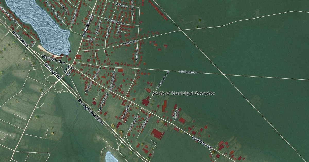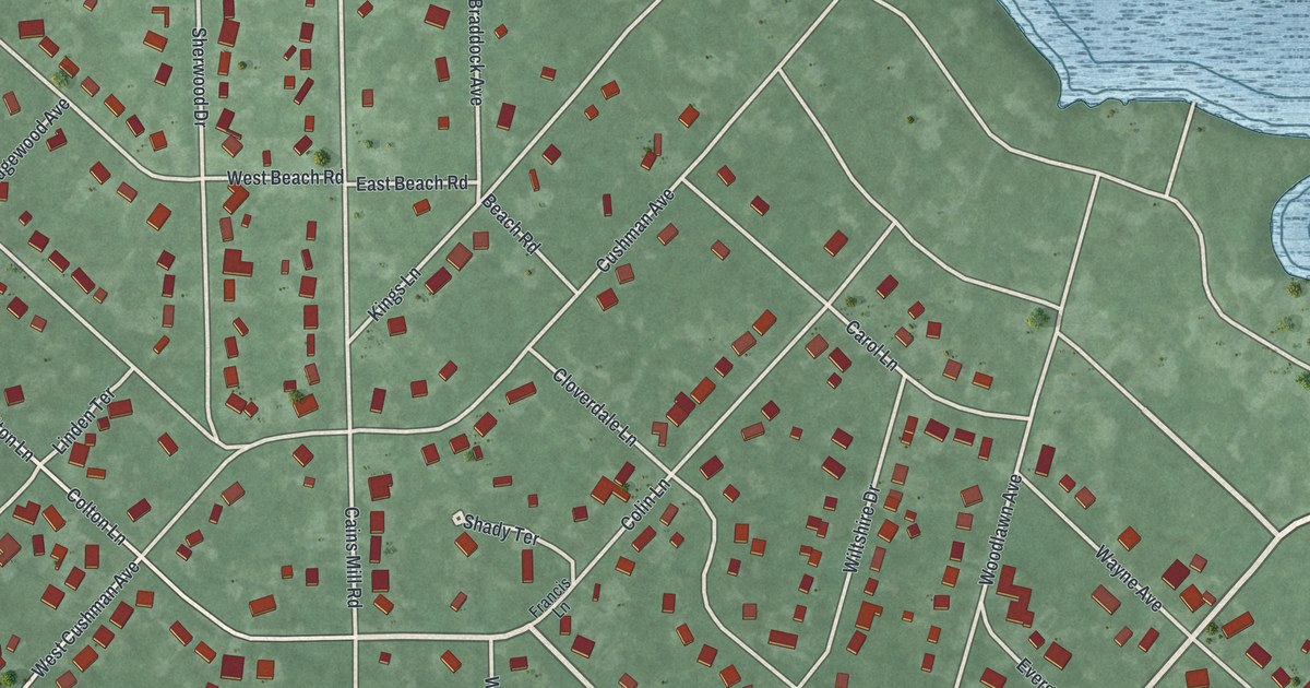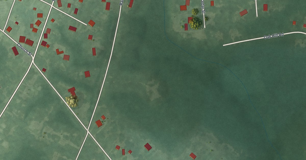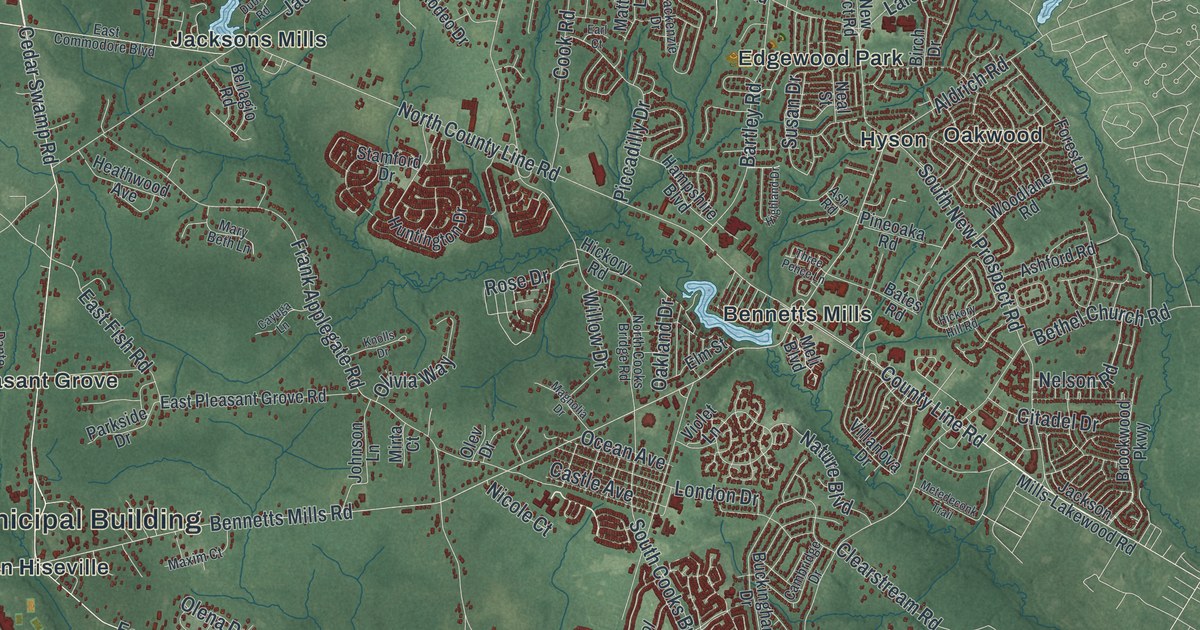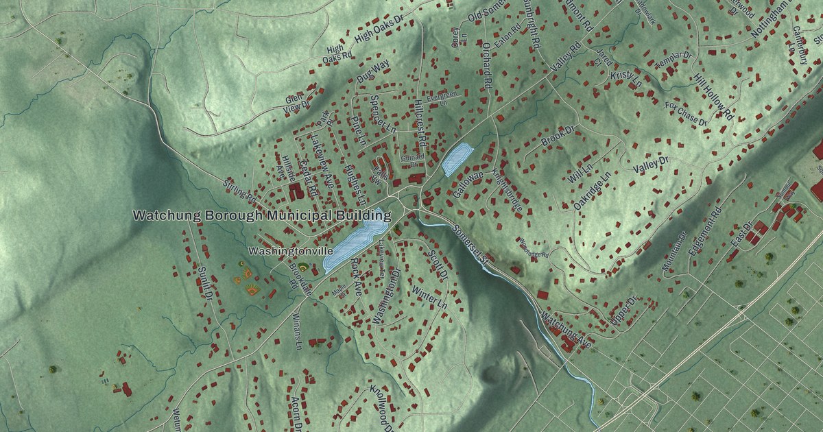
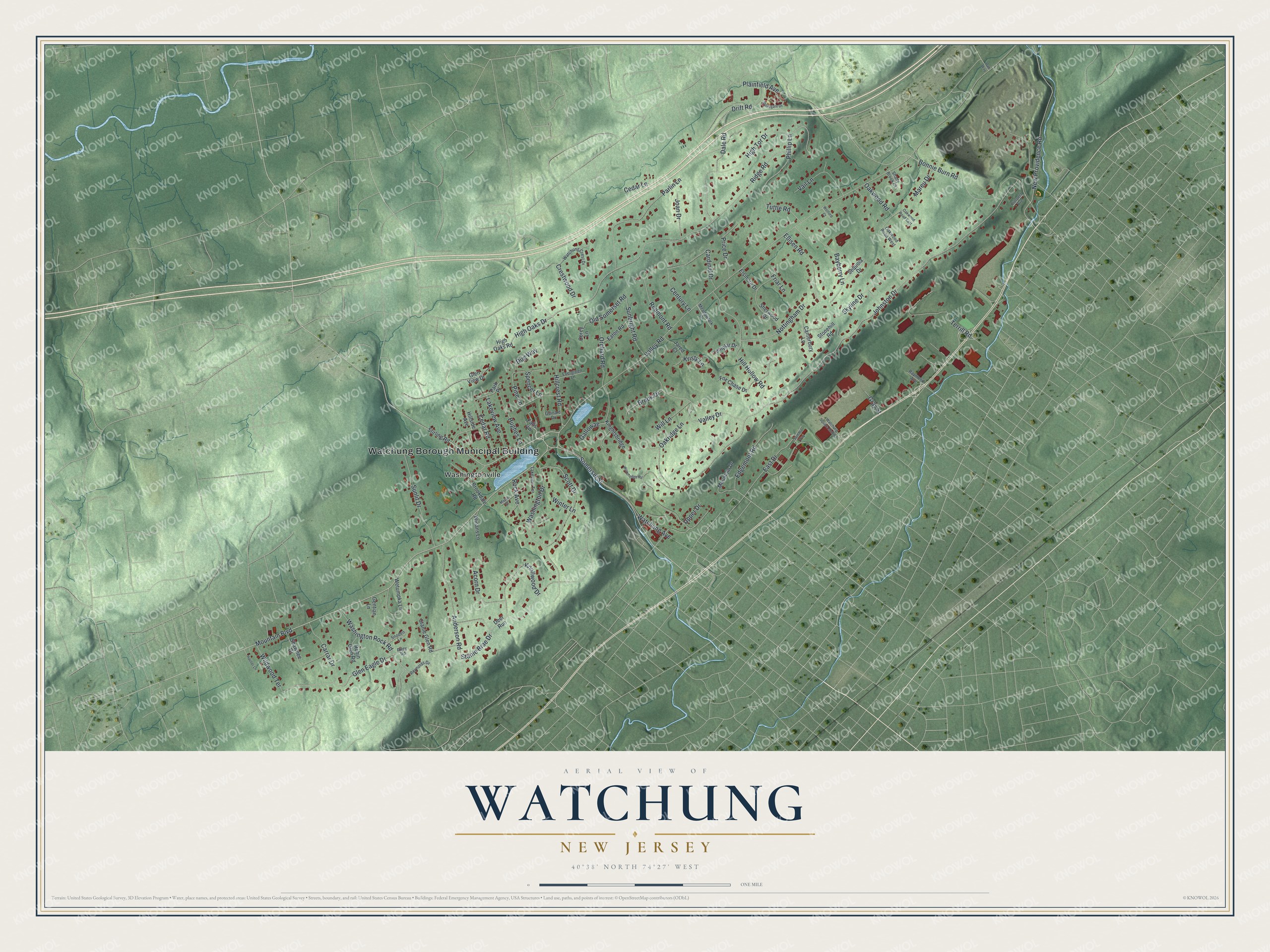
This beautifully detailed map of Watchung, New Jersey was created in 2026 using aerial imagery combined with modern topographical, census, street and landmark data. It’s a one-of-a-kind view of Watchung that combines accurate data with a vintage aesthetic. The map shows every building in its true location, many of the roads carry their names, and the shaded topographic relief shows the shape of the land.
Explore an aerial view of Watchung, New Jersey
On the map you’ll find Watchung Borough Municipal Building and Washingtonville, along with Mountain Boulevard, Somerset Street, Bonnie Burn Road, Plainfield Avenue, and more. If you look closely you can even find your house accurately drawn in its correct location. Zoom in on the preview to look for yours.
Did You Know?
George Washington watched British troops at Perth Amboy, 20 miles off, from the first Watchung ridge. In early days the area was called Washingtonville. The Postal Service turned that name down because New Jersey already had plenty of places named Washington. The borough was incorporated as Watchung in 1926.
Take a closer look at the Watchung map
Names on this map
These names are printed on this map.
Places: Watchung Borough Municipal Building and Washingtonville.
Streets and roads: Mountain Boulevard, Somerset Street, Bonnie Burn Road, Plainfield Avenue, New Providence Road, Old Somerset Road, Johnston Drive, Valley Road, Ridge Road, High Tor Drive, Valley Drive, Hillcrest Road.
More street names, A to Z
Acorn Drive, Anderson Road, Bayberry Lane, Brookdale Road, Brook Drive, Canterbury Lane, Cardinal Drive, Carrar Drive, Cedar Lane, Cedar Road, Century Lane, Corey Lane, Crestwood Drive, Dale Road, Deer Run, Drift Road, Dug Way, East Drive, Eaton Road, Edgemont Road, Ellisen Road, Elsinore Drive, Evergreen Lane, Falls Vw, Fox Chase Drive, Friar Lane, Gallowae, Gentian Lane, Glen Eagle Drive, Glen View Drive, Gray Street, Guinard Drive, Hauser Lane, High Oaks Drive, High Oaks Road, Hill Hollow Road, Hillside Avenue, Hughes Lane, Jared Court, Joan Drive, Knightsbridge, Knollwood Drive, Kristy Lane, Lakeview Avenue, Lakeview Terrace, Maple Street, Mareu Drive, Meadowlark Drive, Mountain Drive, Nottingham Drive, Oakridge Lane, Oak Way, Oakwood Road, Oakwood Road East, Oakwood Road West, Orchard Road, Park Place, Parlin Lane, Phillip Lane, Pine Lane, Price Drive, Prospect Avenue, Raymond Avenue, Redmont Road, Reynolds Drive, Riley Road, Robin Glen Road, Rock Avenue, Scott Drive, Sequoia Drive, Shady Brook Court, Shawnee Drive, Sherwood Drive, Skyline Drive, Snoden Lane, Spencer Lane, Stanie Brae Drive, Stanie Glen Road, Stirling Road, Stonegate Drive, Stonehill Road, Summit Way, Sunbright Road, Sunlit Drive, Templar Drive, Terrill Road, Tuttle Road, Upper Drive, Vail Lane, Washington Drive, Washington Rock Road, Watchung Avenue, Watchung Crest Drive, Watchung Square Mall Road, Wetumpka Lane, Wildwood Terrace, Will Lane, Winans Lane, Winter Lane, Wolford Court, Woodledge Road.
See it on a wall
The Watchung map as an 18 x 24 inch print in a black frame.

This beautifully detailed map of Watchung makes an attractive addition to your office, library, or den, and it can even be used to teach children the geography and history of the area. It also makes a great gift for anyone who grew up in Watchung or moved away. When you’re done exploring, click here to get your copy of the Watchung map.