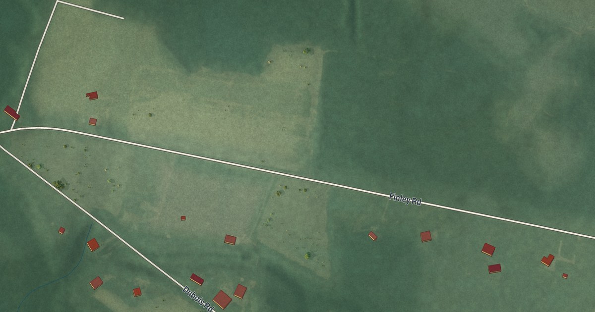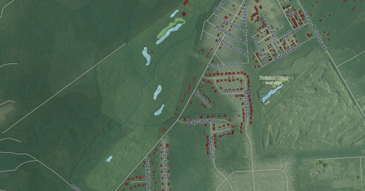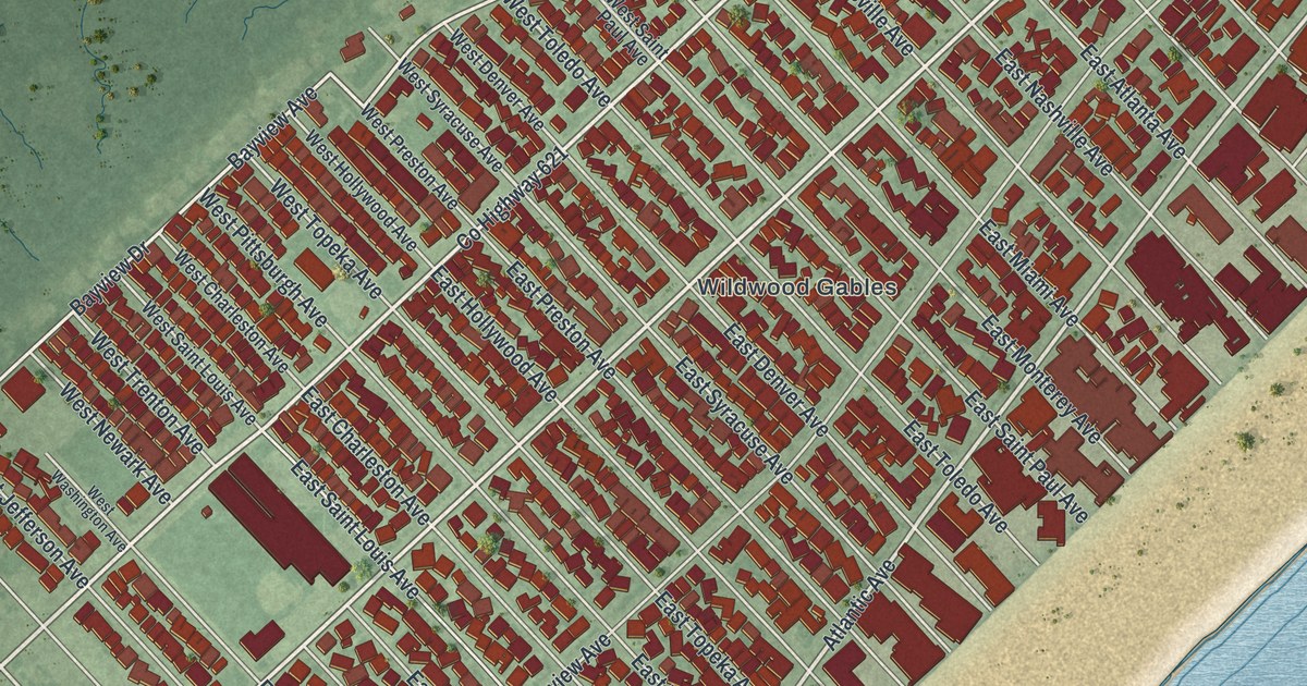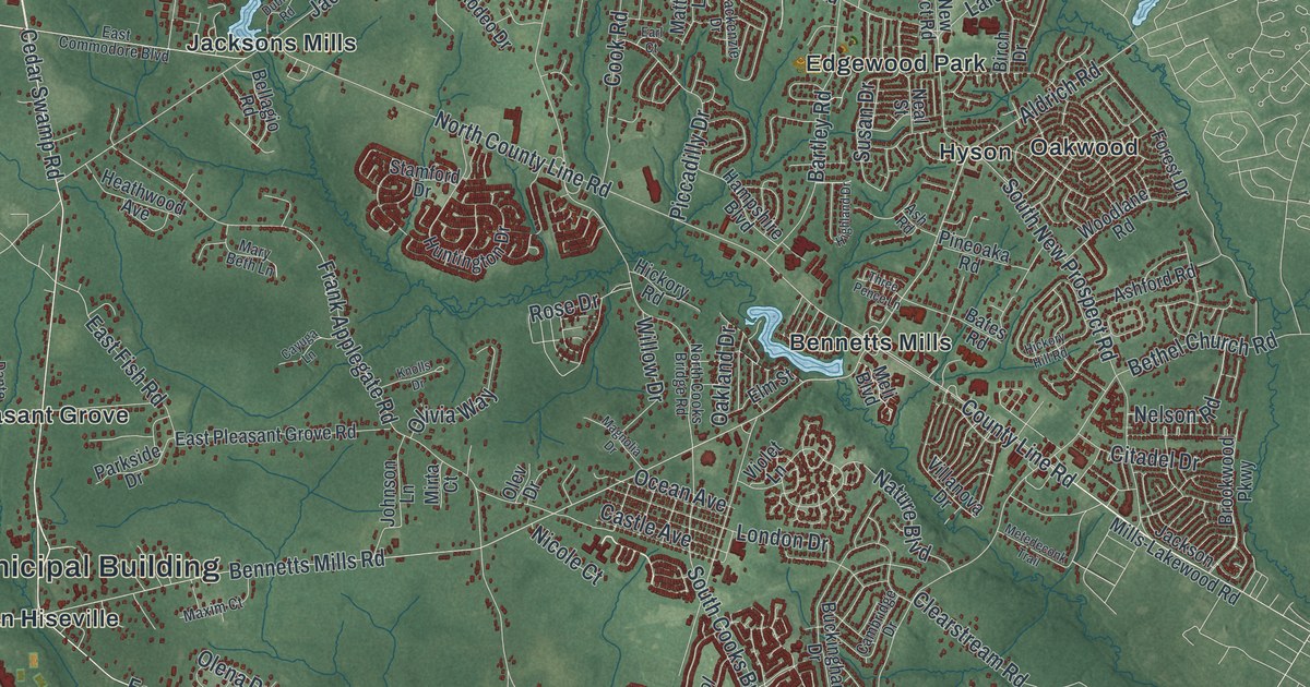
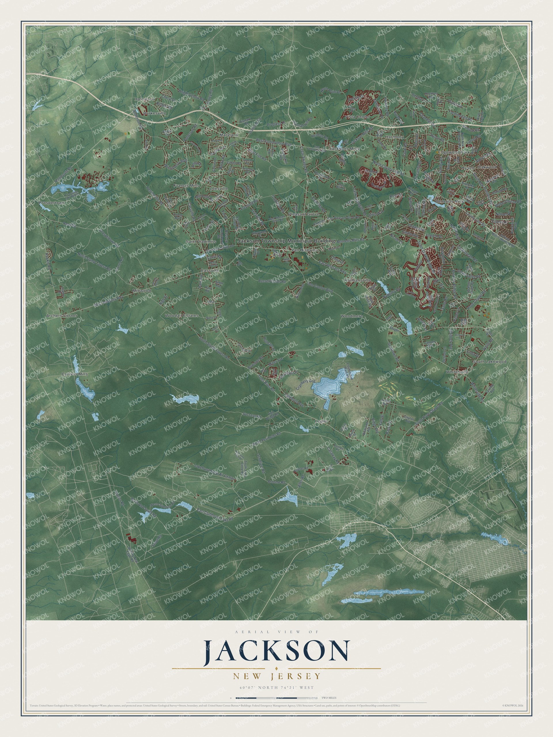
This beautifully detailed map of Jackson, New Jersey was created in 2026 using aerial imagery combined with modern topographical, census, street and landmark data. It’s a one-of-a-kind view of Jackson that combines accurate data with a vintage aesthetic. The map shows every building in its true location, many of the roads carry their names, and the shaded topographic relief shows the shape of the land.
Explore an aerial view of Jackson, New Jersey
On the map you’ll find Jackson Township Municipal Building, Archers Corner, Bennetts Mills, Burkesville, Cassville, Colliers Mills, Edgewood Park, Francis Mills, Harmony, Holmansville, Holmeson, Hyson, and more. If you look closely you can even find your house accurately drawn in its correct location. Zoom in on the preview to look for yours.
Did You Know?
Jackson Township was formed on March 6, 1844, and named for President Andrew Jackson, a year before he died. On July 1, 1974, New York entrepreneur Warner LeRoy opened the Great Adventure amusement park here. The Six Flags company bought it in 1977.
Take a closer look at the Jackson map
Names on this map
These names are printed on this map.
Places: Jackson Township Municipal Building, Archers Corner, Bennetts Mills, Burkesville, Cassville, Colliers Mills, Edgewood Park, Francis Mills, Harmony, Holmansville, Holmeson, Hyson, Jacksons Mills, Leesville, Legler, Maryland, Midwood, Oakwood, Pleasant Grove, Prospertown, Saint Vladimirs, South Lakewood, Van Hiseville, Vista Center, Whitesville, Woodair Estates and Woodmere.
Streets and roads: Cedar Swamp Road, West Commodore Boulevard, West Veterans Highway, Lakehurst Naval Air Center, North Perimeter Road, Broome Road, Bennetts Mills Road, East Veterans Highway, North And South Road, Hawkin Road, Cassville Road, Cranberry Bog.
More street names, A to Z
Abbey Road, Abes Way, Aidan Lane, Aldrich Road, Allen Road, Amethyst Way, Anderson Road, Anita Drive, Ashford Road, Ash Road, Athabaskan Way, Aumack Road, Baltusrol Drive, Bartley Road, Basso Street, Bates Road, Bay Hill Road, Bear Trail, Bedminster Lane, Bellagio Road, Benz Lane, Bethel Church Road, Birch Drive, Bismark Road, Bowman Road, Brewers Bridge Road, Brookwood Parkway, Buckingham Drive, Burke Road, Bushnell Road, Butterfly Road, Callaway Road, Cambridge Drive, Cannon Boulevard, Carlisle Drive, Castle Avenue, Cayuga Lane, Cerrina Drive, Chandler Road, Cheryl Drive, Citadel Drive, Clayton Avenue, Claytonsand Plant Road, Clearstream Road, Cobain Road, Colchester Drive, Conor Road, Cook Road, Cosmo Lane, Cottonwood Drive, Country Road, County Line Road, Cross Street, Cypress Point Lane, Dallas Drive, Dante Court, Denton Lane, Derdse Lane, Diamond Road, Don Connor Boulevard, Dorathys Lane, Driftwood Drive, Dublin Road, Dunhill Road, Durell Drive, Earl Court, East Bird Village Road, East Clubhouse Lake Road, East Commodore Boulevard, East Fish Road, East Pleasant Grove Road, Edgar Road, Elana Drive, Elm Street, Eltone Road, Erin Drive, Faraday Avenue, Farmingdale Road, Fdr Place, Forest Drive, Fox Hollow Drive, Frank Applegate Road, Freehold Road, Genova Avenue, Glenn Road, Goetz Lane, Goldfinch Road, Grawtown Road, Green Valley Road, Greenwich Drive, Hampshire Boulevard, Hannah Hill Road, Harmony Road, Harvard West Drive, Harvey Jones Drive, Heathwood Avenue, Henry Street, Herman Road, Hickory Hill Road, Hickory Road, High Bridge Road, Highland Drive, High Street, Holmans Place, Hope Chapel Road, Huntington Drive, Hurley Road, Hyson Road, Interior Road, Jackson Drive, Jackson Mills-Lakewood Road, Jackson Mills Road, Jackson Pines Road, Johnson Lane, Jordan Avenue, Judith Way, Knolls Drive, Lakehurst Avenue, Larsen Road, Leanne Drive, Leesville Road, Leming Road, Leone Boulevard, Linda Drive, London Drive, Mackenzie Drive, Magnolia Drive, Maria Street, Mary Beth Lane, Matthews Lane, Maxim Court, May Boulevard, McCord Road, Meadow Run Court, Meli Boulevard, Melissa Lee Drive, Metedeconk Trail, Miller Avenue, Miller Road, Mill Pond Road, Mirta Court, Monmouth Road, Nature Boulevard, Neal Street, Nelson Road, Nicole Court, North Cooks Bridge Road, North County Line Road, North Jump Circle Road, North New Prospect Road, North Point Drive, North Stump Tavern Road, Oakland Drive, Oak Leaf Street, Oak Tree Lane, Oakwood Avenue, Ocean Avenue, Olena Drive, Olev Drive, Olivia Way, Osprey Place, Overlook Drive, Owl Court, Park Avenue, Parkside Drive, Patterson Road, Paul Road, Peach Tree Street, Pebble Beach Boulevard, Perrineville Road, Pfister Road, Piccadilly Drive, Pineoaka Road, Pitney Lane, Presevation Lake Wildlife, Prince Way, Progress Place, Prospertown Road, Reagan Drive, Reed Road, Richter Road, Ridge Avenue, River Edge Drive, Rodeo Drive, Rose Drive, Ross Lane, Rounds Road, Royal Grove Road, Rue Monet, Russell Childs Road, Sams Road, Savannah Road, Schnitzer Road, Scout Road, Sherwood Court, Shoal Road, Short Hills Boulevard, South Baker Drive, South Cooks Bridge Road, South Hope Chapel Road, South Jump Circle Road, South New Prospect Road, South Street, South Stump Tavern Road, Stamford Drive, Success Road, Sunnybrook Road, Sunshine Way, Susan Drive, Susie Court, Sydor Avenue, Thompson Bridge Road, Three Pence Lane, Toms River Road, Topaz Drive, Tuscany Drive, Vath Street, Vaughn, Villanova Drive, Violet Lane, Walter Drive, West Clubhouse Road, West Fish Road, Westlake Court, West Pleasant Grove Road, Whitcomb Avenue, White Road, Whitesville Road, Whiting-New Egypt Road, Whitlock Avenue, Wild Dunes Way, Willow Drive, Wilson Boulevard, Winterberry Boulevard, Woodlane Road, Wright Debow Road.
See it on a wall
The Jackson map as an 18 x 24 inch print in a black frame.

This beautifully detailed map of Jackson makes an attractive addition to your office, library, or den, and it can even be used to teach children the geography and history of the area. It also makes a great gift for someone who left Jackson and still calls it home. When you’re done exploring, click here to get your copy of the Jackson map.