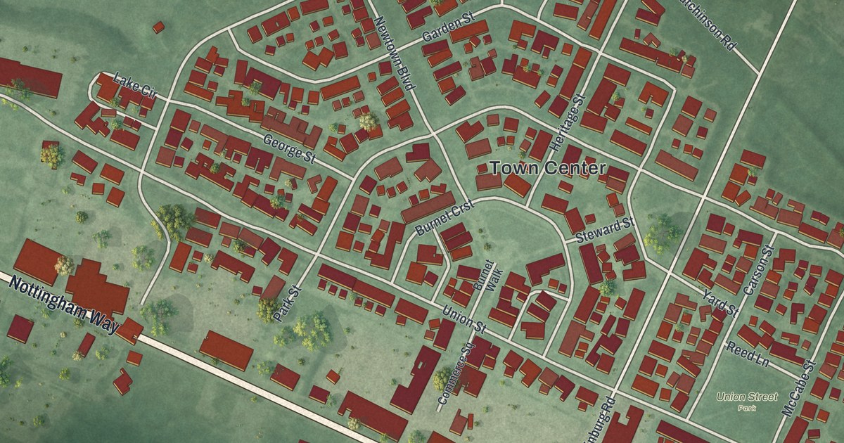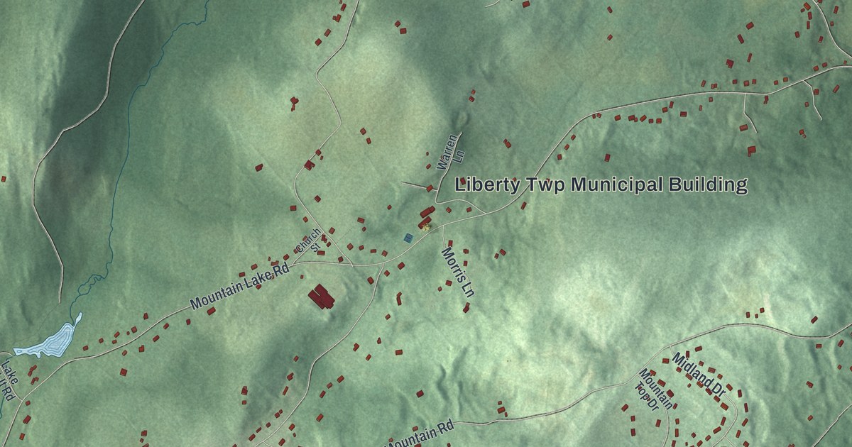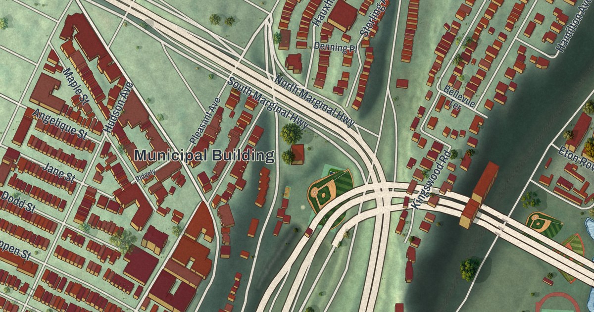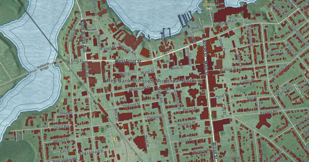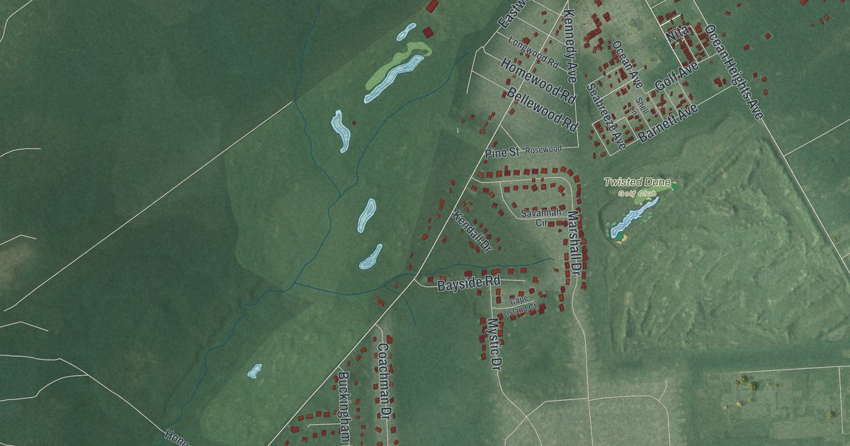
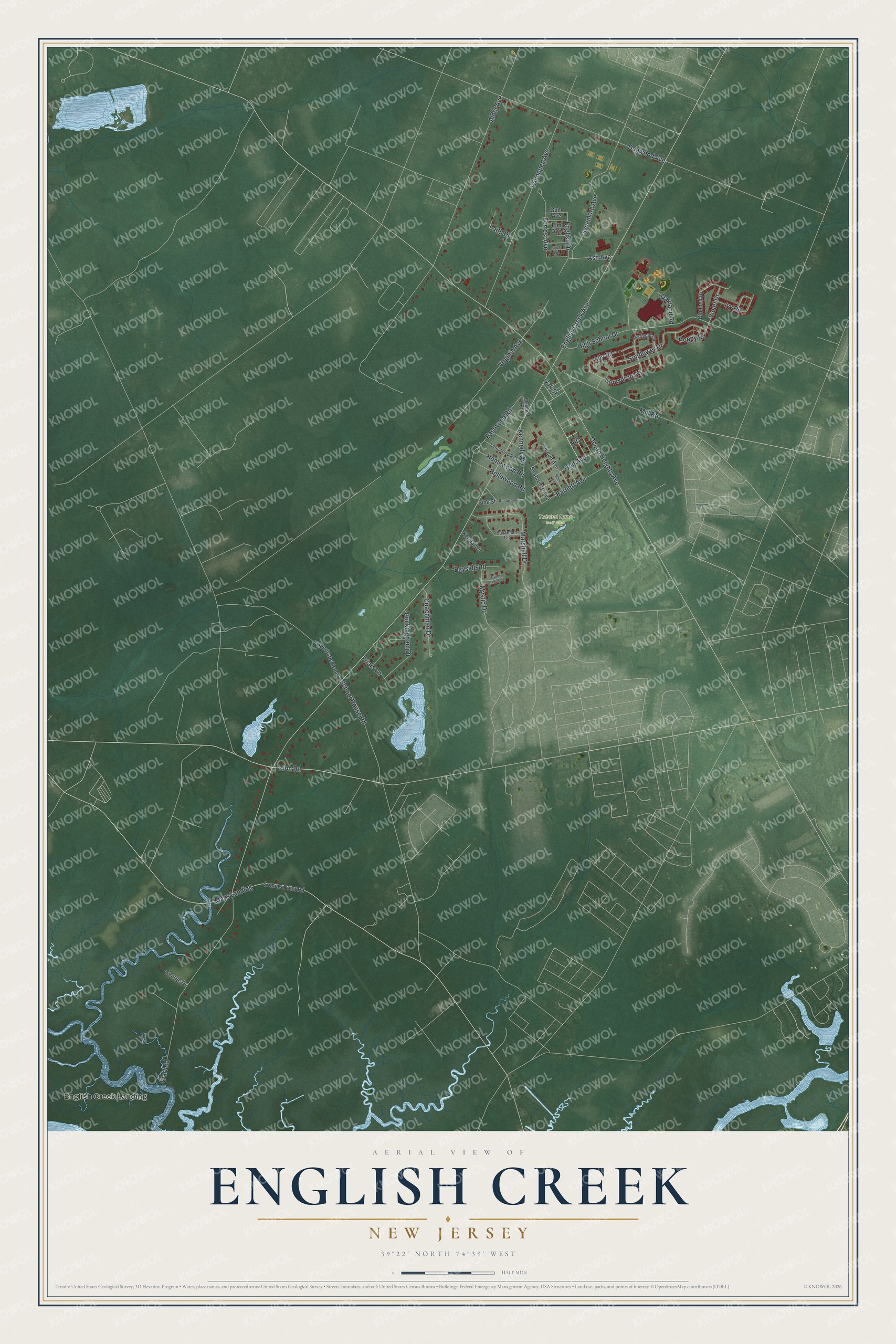
This beautifully detailed map of English Creek, New Jersey was created in 2026 using aerial imagery combined with modern topographical, census, street and landmark data. It's a modern aerial view of English Creek in Atlantic County, New Jersey, that combines modern data with a vintage aesthetic. The roads feature printed names, and if you look closely you can find your exact house accurately shown in its correct location.
Explore an aerial view of English Creek, New Jersey
On this map you'll find English Creek Landing, Twisted Dune Golf Club, Zion Road, Nita, Snowdrop Road, School House Road, Ash Avenue, English Drive, English Creek Avenue, Alder Avenue, Ocean Heights Avenue, Warf Road, and more. Each red shape is a building, so zoom in on the preview and look for yours.
Here is a piece of English Creek history. English Creek was settled in 1714. In the mid 1800s Israel Smith ran a shipyard there, and nearby stood the mills, a meeting house, a blacksmith shop, a school, a store, a post office and a tavern. Egg Harbor Township's Tercentenary Committee marked the shipyard site with a tablet in 1964. That's from the Historical Marker Database.
English Creek is a community in Atlantic County. The Census Bureau counted 3,364 people here in 2020.
Take a closer look at the English Creek map
Names on this map
These names are printed on this map.
Places: English Creek Landing and Twisted Dune Golf Club.
Streets and roads: Zion Road, Nita, Snowdrop Road, School House Road, Ash Avenue, English Drive, English Creek Avenue, Alder Avenue, Ocean Heights Avenue, Warf Road, Winnepeg Avenue, Dogwood Avenue.
More street names, A to Z
Barnett Avenue, Bayside Road, Bellewood Road, Birch Avenue, Bluebell Drive, Buckingham Drive, Cape Island Court, Coachman Drive, Eastwood Road, Elm Avenue, Faith Drive, Forrest Avenue, Friars Lane, George Drive, Golf Avenue, Gum Avenue, High School Drive, Homewood Road, Honeysuckle Lane, Ivy Road, Kendall Drive, Kennedy Avenue, Lily Road, Longwood Road, Marigold Circle, Marshall Drive, Mays Landing, Mill Road, Mystic Drive, Oakland Road, Oak Street, Ocean Avenue, Pine Street, Plumleaf Road, Poppy Road, Rosewood, Savannah Circle, Seabreeze Avenue, Shell Lane, Somers Point Road, Sunflower Drive, Sycamore Avenue, Violet Drive, Virginia Avenue.
See it on a wall
The English Creek map as a framed print. Swipe for more.


Created by KNOWOL in 2026. The buildings are small red shapes, the roads carry their printed names, and shaded relief shows the shape of the land. The title panel reads "AERIAL VIEW OF ENGLISH CREEK, NEW JERSEY" with 39°22' NORTH 74°39' WEST.
It suits a den, a classroom or a front hall, and it makes a gift for anyone with English Creek roots. Open the preview and find the block you know. See sizes and frames for the English Creek map.