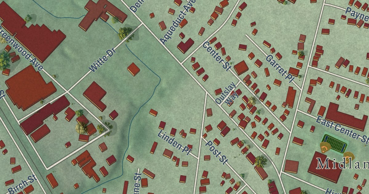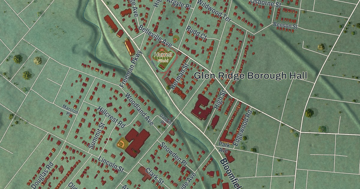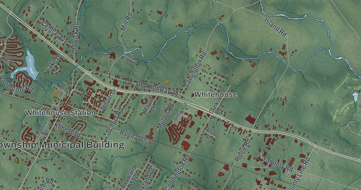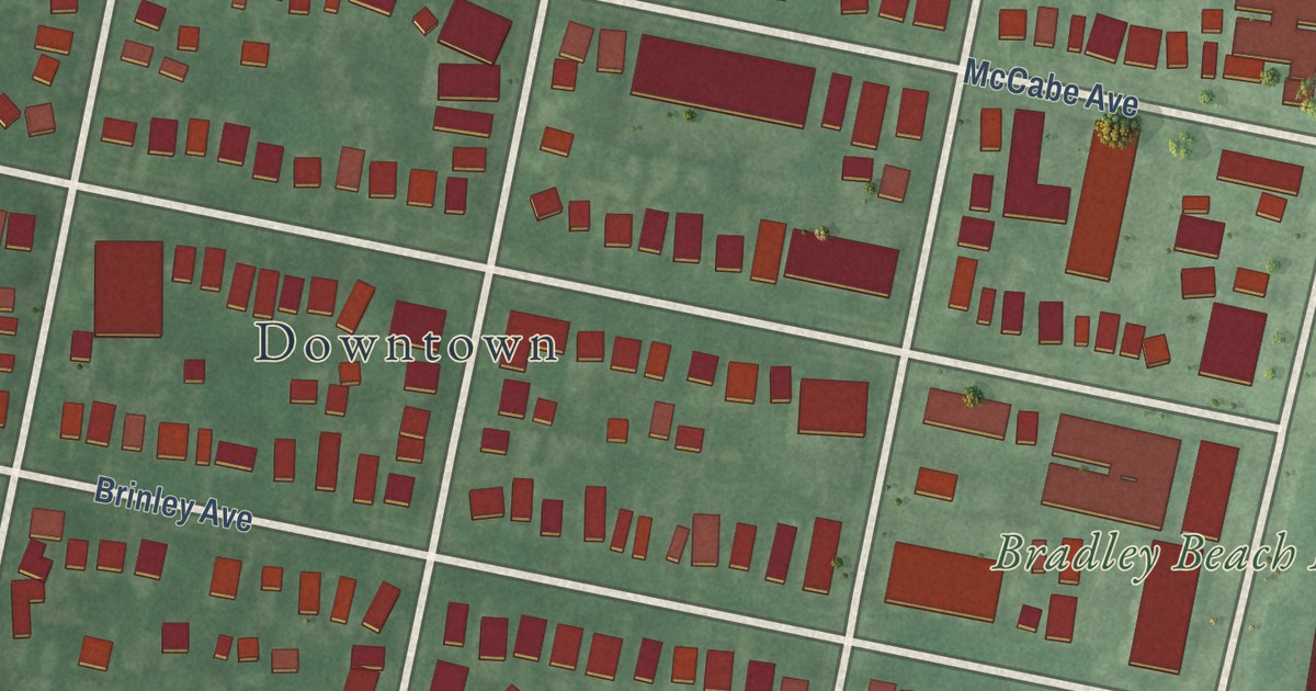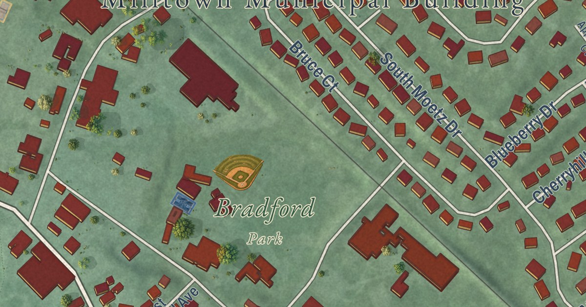
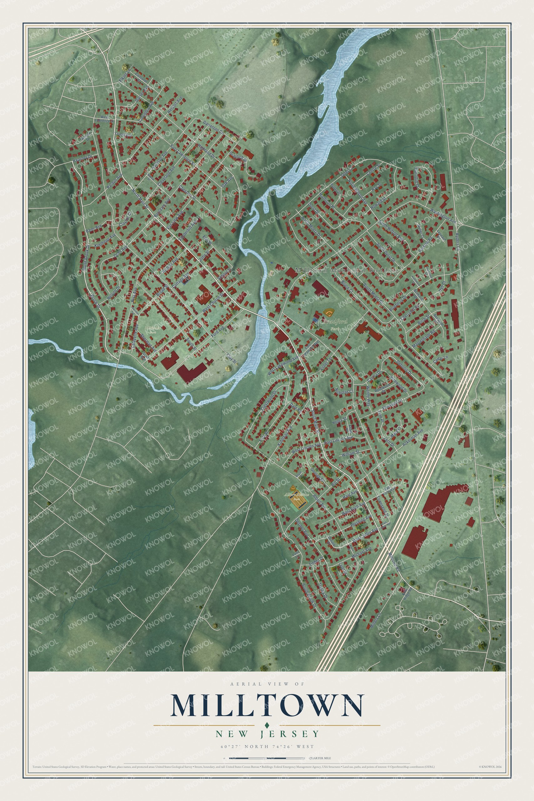
This beautifully detailed map of Milltown, New Jersey was created in 2026 using aerial imagery combined with modern topographical, census, street and landmark data. It’s a one-of-a-kind view of Milltown that combines accurate data with a vintage aesthetic. The map shows every building in its true location, many of the roads carry their names, and the shaded topographic relief shows the shape of the land.
Explore an aerial view of Milltown, New Jersey
On the map you’ll find Milltown Municipal Building, Albert Avenue Park, Bradford Park, and Michelin Park, along with Main Street, Joffre Avenue, Brook Drive, Debonis Drive, and more. If you look closely you can even find your house accurately drawn in its correct location. Zoom in on the preview to look for yours.
Did You Know?
Milltown was first known as Bergen’s Mill. The name honored Jacob I. Bergen, who owned the local grist mill. In the 2000 census, the center of population for all of New Jersey fell in Milltown. By the 2010 census, that center had shifted to East Brunswick.
Take a closer look at the Milltown map
Names on this map
These names are printed on this map.
Places: Milltown Municipal Building, Albert Avenue Park, Bradford Park and Michelin Park.
Streets and roads: South Main Street, North Main Street, West Joffre Avenue, Brook Drive, North Brook Drive, Debonis Drive, Ryders Lane, Clay Street, Janet Court, Washington Avenue, Albert Avenue, Highland Drive.
More street names, A to Z
Ackerman Avenue, Adam Place, Albert Street, Applewood Court, Baier Avenue, Benhardt Drive, Benhardt Road, Birch Street, Blueberry Drive, Booream Avenue, Briar Ridge Road, Broad Street, Bruce Court, Carina Drive, Cedar Lane, Centre Street, Cherryhill Road, Chestnut Street, Clayton Court, Cleveland Avenue, Columbia Avenue, Cortlandt Street, Cottage Avenue, Crestwood Drive, Dale Road, Desmet Avenue, Donald Drive, Durst Drive, East Foch Avenue, East Joffre Avenue, East Lakewood Avenue, East Lawrence Street, East Lincoln Avenue, Elkins Lane, Elm Place, Elmwood Drive, Fern Drive, Fern Place, First Street, Fisher Drive, Ford Avenue, Garretson Circle, Garver Avenue, George Street, Graulich Drive, Haig Avenue, Harkins Road, Harrison Avenue, Henry Street, Herbert Avenue, Hill Street, Howard Street, Hye Court, John Street, Kearney Drive, Kohlhepp Avenue, Kuhlthau Avenue, Lafayette Avenue, Lani Lane, Leonard Road, Lynn Drive, Mapleshade Road, Mary Court, Mathison Place, Michael Avenue, Millers Lane, Milltown Road, Nelson Drive, Nicholas Court, North Moetz Drive, North Wilson Avenue, Oak Avenue, Ochs Avenue, Pardun Avenue, Peachwood Court, Pershing Avenue, Pinewood Drive, Potter Place, Ray Street, Renoux Drive, Richter Avenue, Riva Avenue, Rosewood Drive, Royal Court, School Street, Scott Avenue, Sheridan Avenue, Sherman Avenue, South Brook Drive, South Durst Drive, South Moetz Drive, South Street, South Wilson Avenue, Starodub Drive, Townsend Street, Tracey Drive, Vanderbilt Avenue, Van Liew Avenue, Violet Terrace, Weller Court, Wendy Way, West Church Street, West Foch Avenue, West Lakewood Avenue, West Lawrence Street, West Lincoln Avenue, William Street, Willow Street, Yarnell Avenue.
See it on a wall
The Milltown map as an 18 x 24 inch print in a black frame.

This beautifully detailed map of Milltown makes an attractive addition to your office, library, or den, and it can even be used to teach children the geography and history of the area. It also makes a great gift for someone who left Milltown and still calls it home. When you’re done exploring, click here to get your copy of the Milltown map.