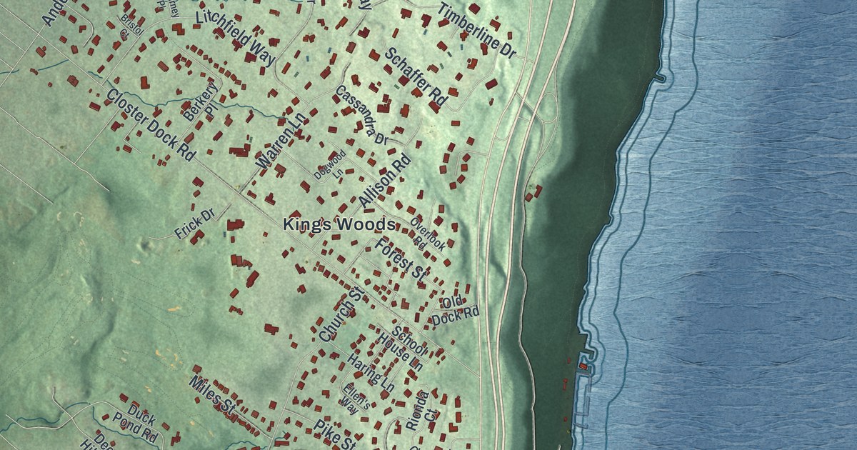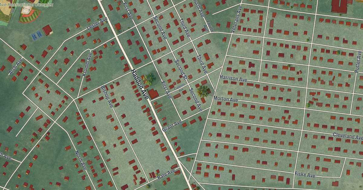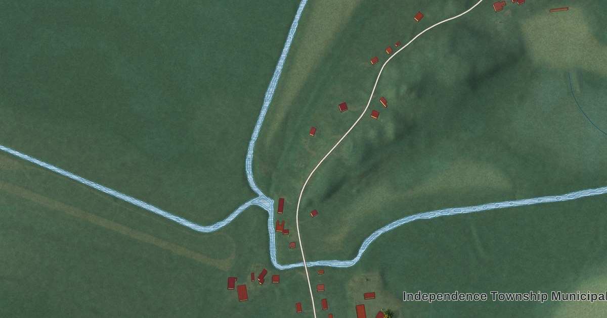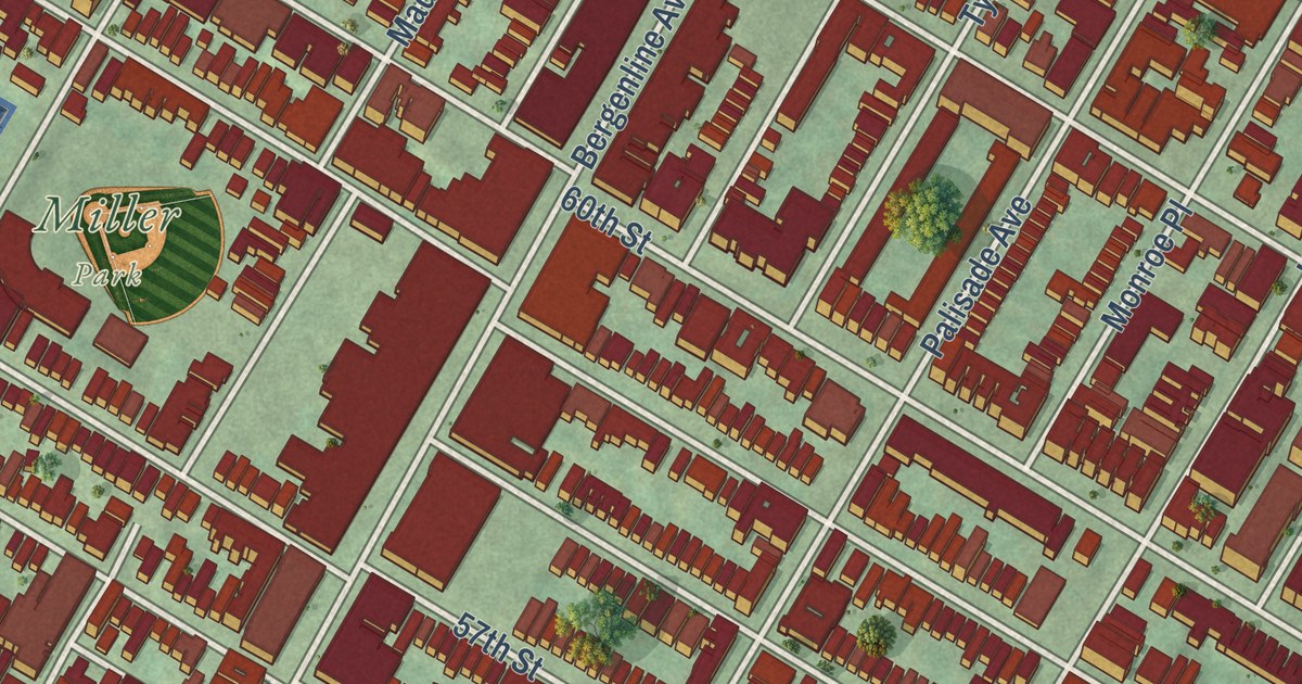
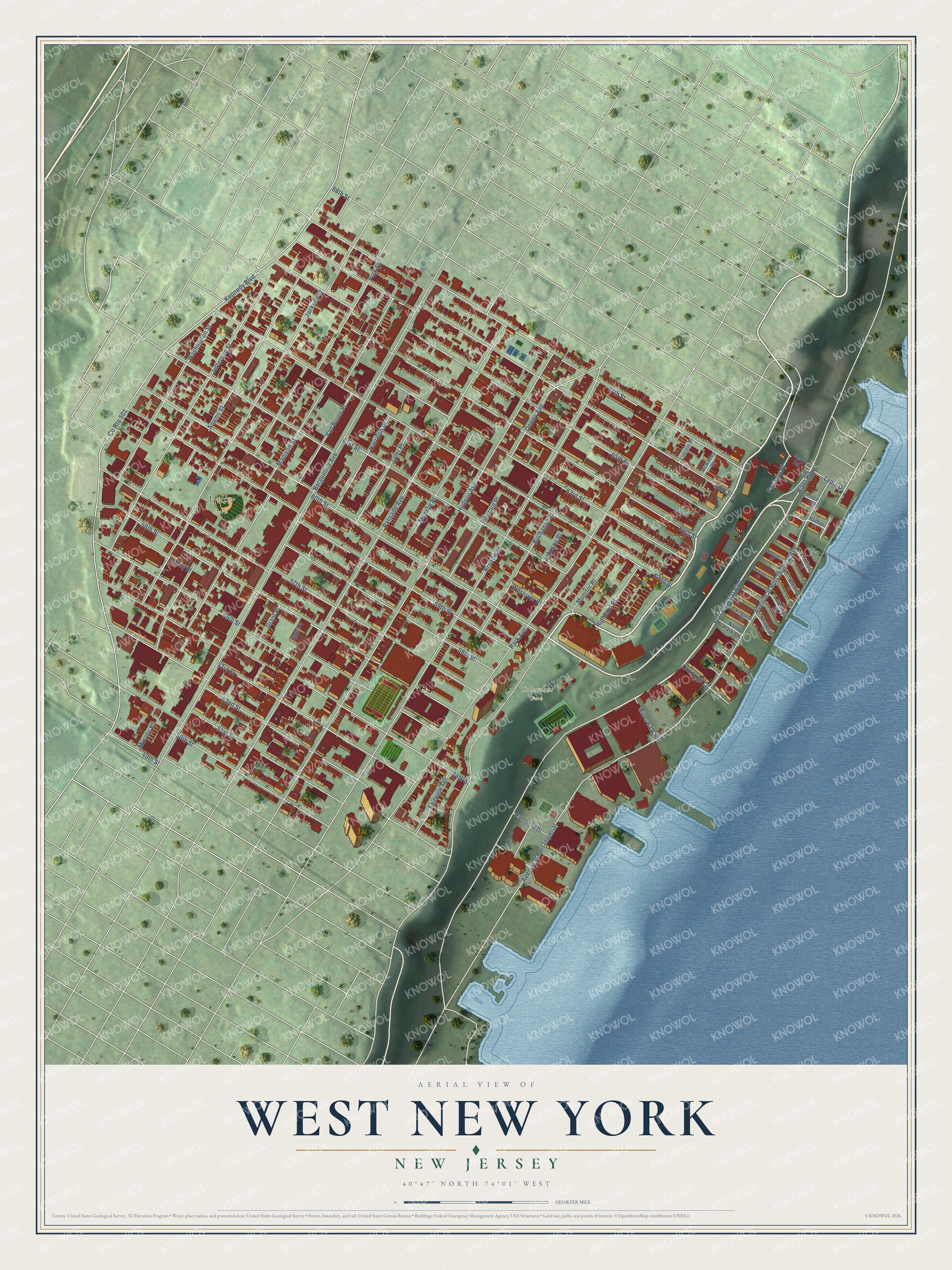
This beautifully detailed map of West New York, New Jersey was created in 2026 using aerial imagery combined with modern topographical, census, street and landmark data. It’s a one-of-a-kind view of West New York that combines accurate data with a vintage aesthetic. The map shows every building in its true location, many of the roads carry their names, and the shaded topographic relief shows the shape of the land.
Explore an aerial view of West New York, New Jersey
On the map you’ll find Miller Park, along with Port Imperial Boulevard, Bergenline Avenue, Park Avenue, Palisade Avenue, Hudson Avenue, and more. If you look closely you can even find your house accurately drawn in its correct location. Zoom in on the preview to look for yours.
Did You Know?
West New York became a town in 1898. Textile mills soon earned North Hudson the title Embroidery Capital of the United States. Italian and German Americans filled the town. In the 1960s so many Cubans arrived that it was called Havana on the Hudson.
Take a closer look at the West New York map
Names on this map
These names are printed on this map.
Places: Columbus Park and Miller Park.
Streets and roads: Port Imperial Boulevard, County Route 501, Bergenline Avenue, Park Avenue, Palisade Avenue, Broadway, 62nd Street, Hudson Avenue, 66th Street, 67th Street, 60th Street, 61st Street.
More street names, A to Z
49th Street, 50th Street, 51st Street, 52nd Street, 53rd Street, 54th Street, 55th Street, 56th Street, 57th Street, 58th Street, 59th Street, 63rd Street, 64th Street, 65th Street, 68th Street, Adams Street, Albany Court, Avenue at Port Imperial, Avenue at Port Imperial Avenue, Buchanan Place, Buffalo Court, Dewey Avenue, Fairview Terrace, Farragut Place, Ferry Road, Fillmore Place, Fulton Court, Gaw Place, Grant Place, Harbor Place, Harrison Place, Highland Place, Jackson Street, Jefferson Street, Johnson Place, Kennedy Boulevard, Kingston Court, Landings Lane, Lincoln Place, Lydia Drive, Madison Street, McKinley Place, Midland Court, Monitor Place, Monroe Place, Murphy Place, Newburgh Court, North Park Court, Polk Street, Price Court, Riverbend Drive, River Road, Riverwalk Place, Roslyn Court, Schley Place, Tyler Place, Van Buren Place, Washington Street, Westover Place.
See it on a wall
The West New York map as an 18 x 24 inch print in a black frame.

This beautifully detailed map of West New York makes an attractive addition to your office, library, or den, and it can even be used to teach children the geography and history of the area. It also makes a great gift for anyone who grew up in West New York or moved away. When you’re done exploring, click here to get your copy of the West New York map.