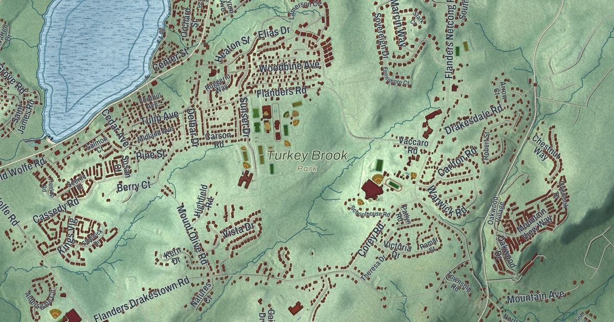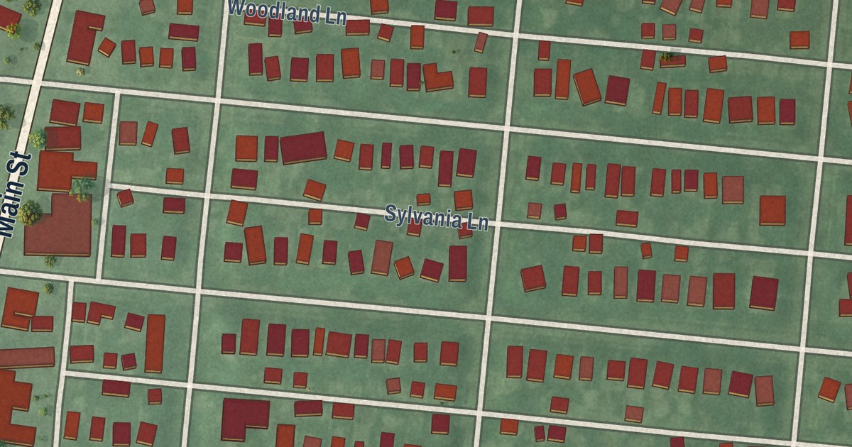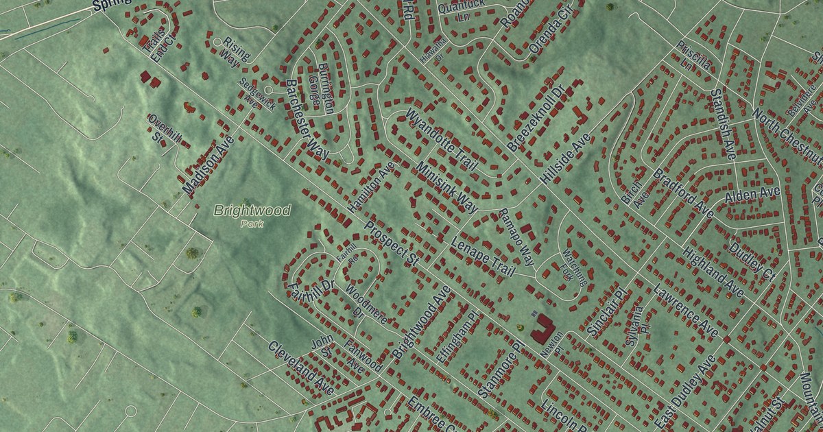
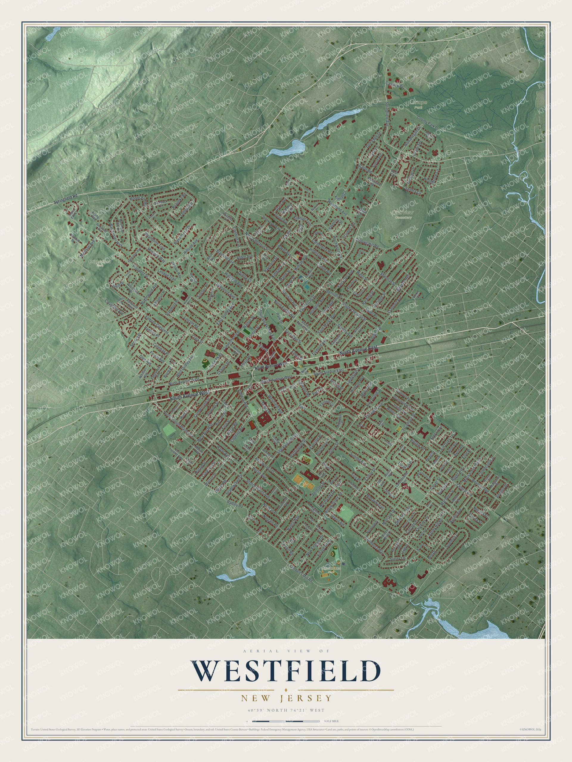
This beautifully detailed map of Westfield, New Jersey was created in 2026 using aerial imagery combined with modern topographical, census, street and landmark data. It’s a one-of-a-kind view of Westfield that combines accurate data with a vintage aesthetic. The map shows every building in its true location, many of the roads carry their names, and the shaded topographic relief shows the shape of the land.
Explore an aerial view of Westfield, New Jersey
On the map you’ll find Brightwood Park, Fairview Cemetery, Lenape Park, and Tamaques Park, along with North Avenue, South Avenue, Springfield Road, Broad Street, Springfield Avenue, and more. If you look closely you can even find your house accurately drawn in its correct location. Zoom in on the preview to look for yours.
Did You Know?
Westfield is named for the rich, open fields that lay west of Elizabeth Town. For more than a century people simply called the place West Fields. Families from Elizabeth began moving out here around 1699. By 1720 there were enough of them to form a real community, in today’s downtown.
Take a closer look at the Westfield map
Names on this map
These names are printed on this map.
Places: Brightwood Park, Fairview Cemetery, Lenape Park, Tamaques Park and Stoneleigh Park.
Streets and roads: North Avenue East, South Avenue West, East Broad Street, Springfield Avenue, South Avenue East, Nomahegan Drive, Westfield Avenue, Wychwood Road, North Avenue West, Tuttle Parkway, Park Drive, Grant Avenue.
More street names, A to Z
Alden Avenue, Amy Drive, Arlington Avenue, Austin Street, Avon Road, Ayliffe Avenue, Azalea Trail, Baker Avenue, Barchester Way, Bates Way, Beechwood Place, Bell Drive, Belmar Place, Belmar Terrace, Belvidere Avenue, Bennett Place, Benson Place, Beverly Drive, Birch Avenue, Birch Place, Boulevard, Boynton Avenue, Bradford Avenue, Breezeknoll Drive, Brightwood Avenue, Burgess Court, Burrington Gorge, Cambridge Road, Canterbury Lane, Canterbury Road, Cardinal Drive, Carleton Road, Carol Road, Castleman Drive, Cedar Street, Central Avenue, Charles Street, Cherokee Court, Cherry Lane, Clarence Street, Clark Street, Cleveland Avenue, Clifton Street, Clover Street, Codding Road, Coleman Place, Columbus Avenue, Connecticut Street, Coolidge Street, Cory Place, Cottage Place, County Park Drive, Cowperthwaite Place, Cranford Avenue, Cumberland Street, Dartmoor Street, Delaware Street, Dickson Drive, Dorian Court, Dorian Place, Dorian Road, Doris Parkway, Downer Street, Dudley Court, East Dudley Avenue, East Grove Street, Edgar Road, Edgewood Avenue, Effingham Place, Elizabeth Avenue, Elmer Street, Elm Street, Embree Crescent, Eton Place, Everson Place, Fairacres Avenue, Fairfield Circle, Fairhill Drive, Fairhill Road, Fairmont Avenue, Fanwood Avenue, Faulkner Drive, Ferris Place, First Street, Floral Court, Florence Avenue, Florida Street, Forest Avenue, Fourth Avenue, Gallowae, Gallows Hill Road, Genesee Trail, Girard Avenue, Glen Avenue, Golf Edge Drive, Grandview Avenue, Green Briar Court, Greene Place, Grove Street, Hamilton Avenue, Hanford Place, Harding Street, Hardwick Avenue, Harrison Avenue, Harrow Road, Hawthorne Drive, Hazel Avenue, Hiawatha Drive, Highland Avenue, Hillcrest Avenue, Hillside Avenue, Holmes Place, Hort Street, Hyslip Avenue, Irving Avenue, Jefferson Avenue, John Street, Karen Terrace, Kensington Drive, Kimball Avenue, Kimball Circle, Kimball Turn, Kirkview Circle, Knollwood Terrace, Lamberts Mill Road, Landsdowne Avenue, Laurel Place, Lawrence Avenue, Leigh Drive, Lenape Trail, Lenox Avenue, Lincoln Road, Linden Avenue, Livingston Street, Lynn Lane, Madison Avenue, Manchester Drive, Manitou Circle, Maple Street, Marcellus Drive, Marion Avenue, Marlboro Street, Maryland Street, Massachusetts Street, Max Place, Maye Street, Michael Drive, Midvale Terrace, Midvale Way, Midwood Place, Minisink Way, Mohawk Trail, Montauk Drive, Moss Avenue, Mountain Avenue East, Myrtle Avenue, Nancy Way, Nelson Place, Nevada Street, New England Drive, New Street, Newton Place, Norgate Road, Normandy Drive, Norman Place, North Chestnut Street, North Cottage Place, North Euclid Avenue, North Florence Avenue, North Scotch Plains Avenue, Norwood Drive, Nottingham Place, Oak Avenue, Orchard Street, Orenda Circle, Osborne Avenue, Otisco Drive, Overhill Street, Park Street, Pearl Street, Pennsylvania Avenue, Pierson Street, Pine Court, Plymouth Road, Poe Avenue, Priscilla Lane, Prospect Street, Quantuck Lane, Quimby Street, Radley Road, Rahway Avenue, Ramapo Way, Raymond Street, Ripley Avenue, Rising Way, Roanoke Road, Rodman Lane, Roger Avenue, Roosevelt Street, Ross Place, Rutgers Court, Saint Marks Avenue, Saint Paul Street, Salter Place, Sandra Circle, Sandy Hill Road, Saunders Avenue, Scotch Plains Avenue, Scudder Road, Sedgewick Avenue, Seneca Place, Settlers Lane, Seward Avenue, Shackamaxon Drive, Shadowlawn Drive, Sherman Street, Sherwood Parkway, Sinclair Place, South Chestnut Street, South Euclid Avenue, Springfield Road, Standish Avenue, Stanley Avenue, Stanmore Place, Stevens Avenue, Stirling Place, Summit Avenue, Summit Court, Sunset Avenue, Surrey Lane, Sycamore Street, Sylvania Place, Talcott Road, Tamaques Way, Temple Place, Tice Place, Topping Hill Road, Trails End Court, Tremont Avenue, Trinity Place, Tudor Oval, Tuxford Turn, Twin Oaks Terrace, Unami Terrace, Union Street, Vermont Street, Vernon Place, Vernon Terrace, Village Green, Virginia Street, Wallberg Avenue, Walnut Street, Warren Street, Washington Street, Watchung Fork, Watterson Street, Welch Way, Wells Street, West Broad Street, West Court, West Dudley Avenue, Whittier Avenue, Willow Grove Road, Windsor Avenue, Winyah Avenue, Woodbrook Circle, Woodland Avenue, Woodmere Drive, Woods End Road, Wyandotte Trail, Wychview Drive.
See it on a wall
The Westfield map as an 18 x 24 inch print in a black frame.

This beautifully detailed map of Westfield makes an attractive addition to your office, library, or den, and it can even be used to teach children the geography and history of the area. It also makes a great gift for anyone with Westfield roots. When you’re done exploring, click here to get your copy of the Westfield map.