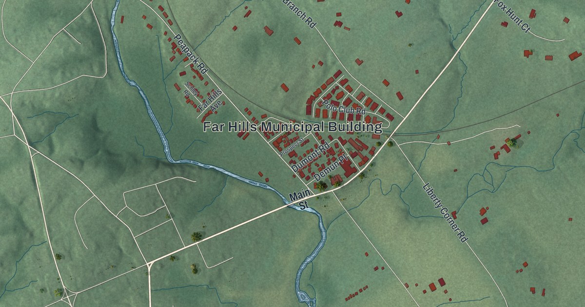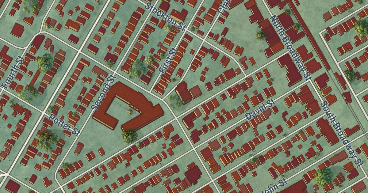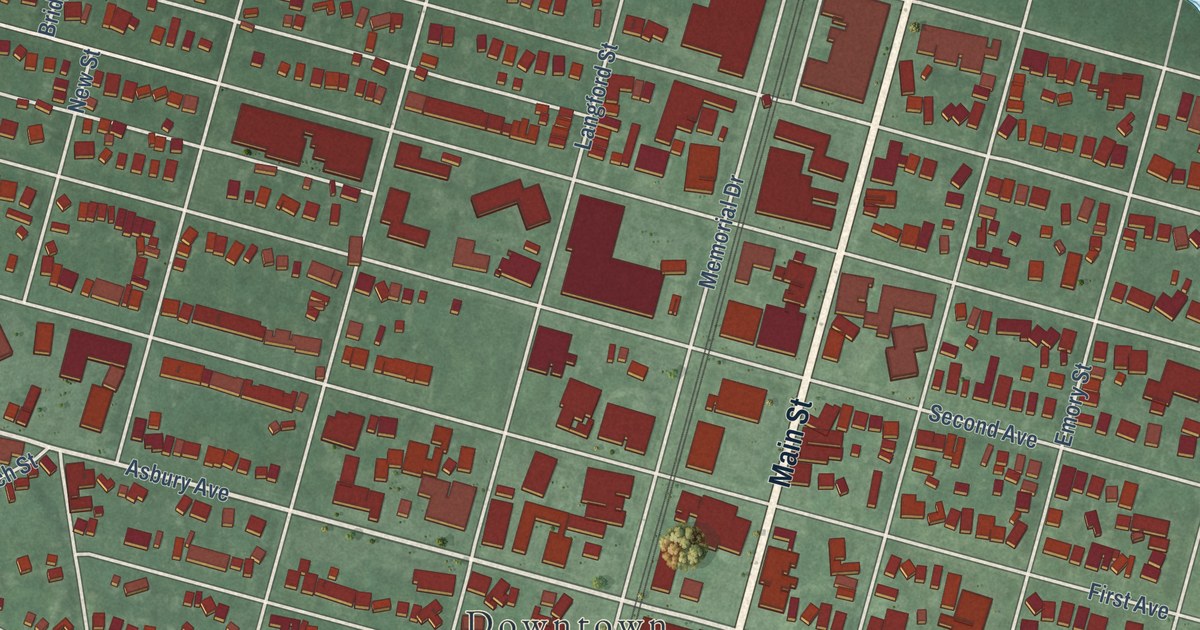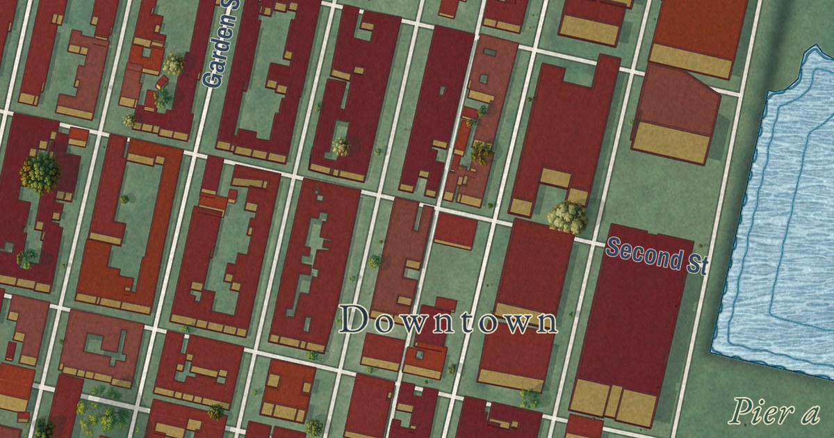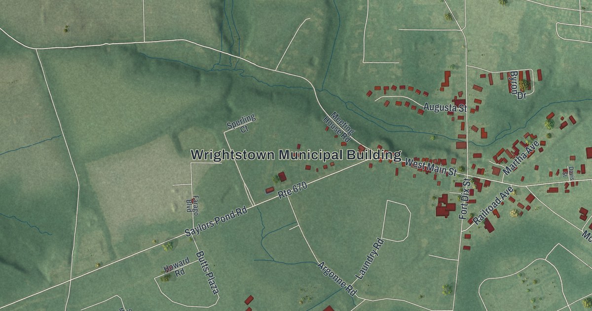
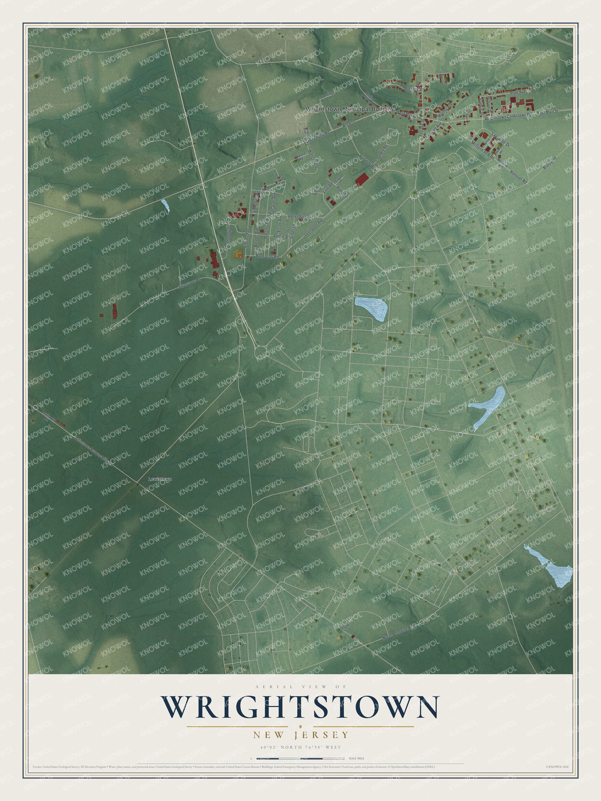
This beautifully detailed map of Wrightstown, New Jersey was created in 2026 using aerial imagery combined with modern topographical, census, street and landmark data. It’s a one-of-a-kind view of Wrightstown that combines accurate data with a vintage aesthetic. The map shows every building in its true location, many of the roads carry their names, and the shaded topographic relief shows the shape of the land.
Explore an aerial view of Wrightstown, New Jersey
On the map you’ll find Wrightstown Municipal Building and Lewistown, along with Rancocas Road, Fort Dix Street, Juliustown Browns Mills Road, Bergen Avenue, and more. If you look closely you can even find your house accurately drawn in its correct location. Zoom in on the preview to look for yours.
Did You Know?
Wrightstown is named for John Wright, an early settler. He gave the land that became the settlement. The borough was formed in 1918 from parts of New Hanover and North Hanover townships, after a public vote.
Take a closer look at the Wrightstown map
Names on this map
These names are printed on this map.
Places: Wrightstown Municipal Building and Lewistown.
Streets and roads: Rancocas Road, Fort Dix Street, Juliustown Browns Mills Road, Bergen Avenue, West Main Street, East Main Street, Wrightstown Cookstown Road, Lexington Avenue, Juliustown Road, Florida Avenue, Route 670, Saylors Pond Road.
More street names, A to Z
Admin Street, Argonne Road, Augusta Street, Block Street, Broidy Road, Burgin Road, Butts Plaza, Byron Drive, Concord Street, Davis Street, Essex Avenue, Farago Boulevard, Flint Road, Francis Street, Gettysburg Avenue, Hanover Road, Harty Road, Howard Road, Lancaster Drive, Laundry Road, Lewistown Road, Loop, Martha Avenue, McGuire AFB Road, McGuire Road, McGuire Street, Meeting House Road, Neely Road, North Pointville Road, Passaic Avenue, Platt Avenue, Railroad Avenue, Remount Road, Saint Mihiel Street, San Juan Avenue, Silver Lane, Singer Road, Sperling Court, Technology Drive, Vicksburg Road.
See it on a wall
The Wrightstown map as an 18 x 24 inch print in a black frame.

This beautifully detailed map of Wrightstown makes an attractive addition to your office, library, or den, and it can even be used to teach children the geography and history of the area. It also makes a great gift for anyone who grew up in Wrightstown or moved away. When you’re done exploring, click here to get your copy of the Wrightstown map.