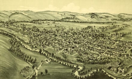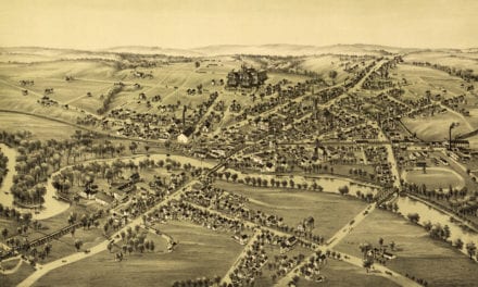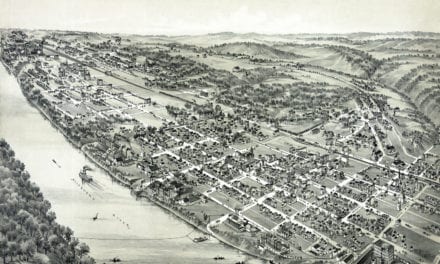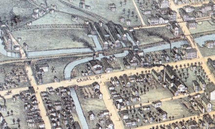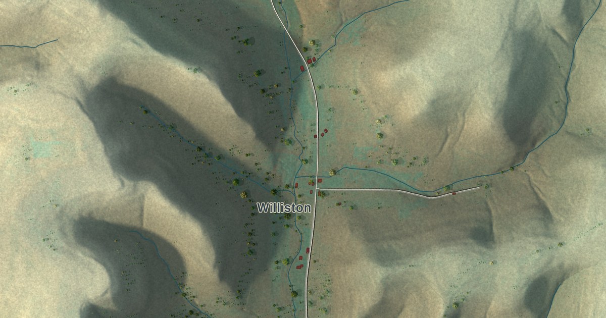
If you grew up along Sartwell Creek Road, have family in Williston or Shaytown, or keep a camp up one of these hollows, here's the whole township on one sheet. It's a modern aerial view of Pleasant Valley Township in Potter County, Pennsylvania, made with modern data and a vintage artistic feel. Steep hills are shaded in tan and soft green, with deep hollows between them. More than 350 buildings are marked in red, from Shaytown near the top to Williston near the bottom. Explore the print options for Pleasant Valley.
Shaytown, Sartwell Creek Road and Williston
Start at Shaytown, near the top center. Shaytown Road runs east through it, and Kenyon Hollow Road carries on toward the top right corner. Holcomb Hollow Road comes in from the west. Tinker Stevens Road drops south from Shaytown to Plumer Hollow Road. Follow Plumer Hollow Road east, and it meets Fisk Hollow Road and Weimer Hollow Road near the top right. Fisk Hollow Road runs south down the right side of the sheet. Weimer Hollow Road heads down toward the center to reach the long valley road. That road is labeled Sartwell Road in places and Sartwell Creek Road in others. Kio Hollow Road joins it in the middle. Keep going south and you'll come to Williston, near the bottom center. State Game Lands Number 59 is printed on the open ground in the lower right. Up in the top left, Bells Run Road meets Dean Hollow Road. Many of the roads are named, and each red mark is a building, so zoom in on the preview and look for yours.
Bells Run Road is printed up in the top left. An 1890 county history says Isaac and Peter North built the first grist mill in the township in 1851, at the head of Bell's run. It was a little mill with just one run of stone. The history says it was used more to crush corn than to grind flour. The map doesn't mark where it stood.
The same history calls the hills bold and steep, with narrow, deep valleys. The one exception was the farm valley of Sartwell creek. The creek isn't labeled on the map, but its valley is easy to find. Look down the middle of the sheet, where Sartwell Creek Road runs south to Williston with red marks along the way. By 1890, Williston had the only post office in the township.
J.C. Fessenden suggested the name Pleasant Valley after the township was split off from Clara. In 1846 he raised the first schoolhouse, and Miss Sally Standish came to teach. The history also says Native Americans built a lodge on George Weimer's land. It was their main camp for hunting and fishing in the area. George Weimer was on the township's 1855 tax list. Weimer Hollow Road is printed on the map, running from the top right down to Sartwell Creek Road. The history doesn't say how it got its name.
For families from Williston, Shaytown and the hollows
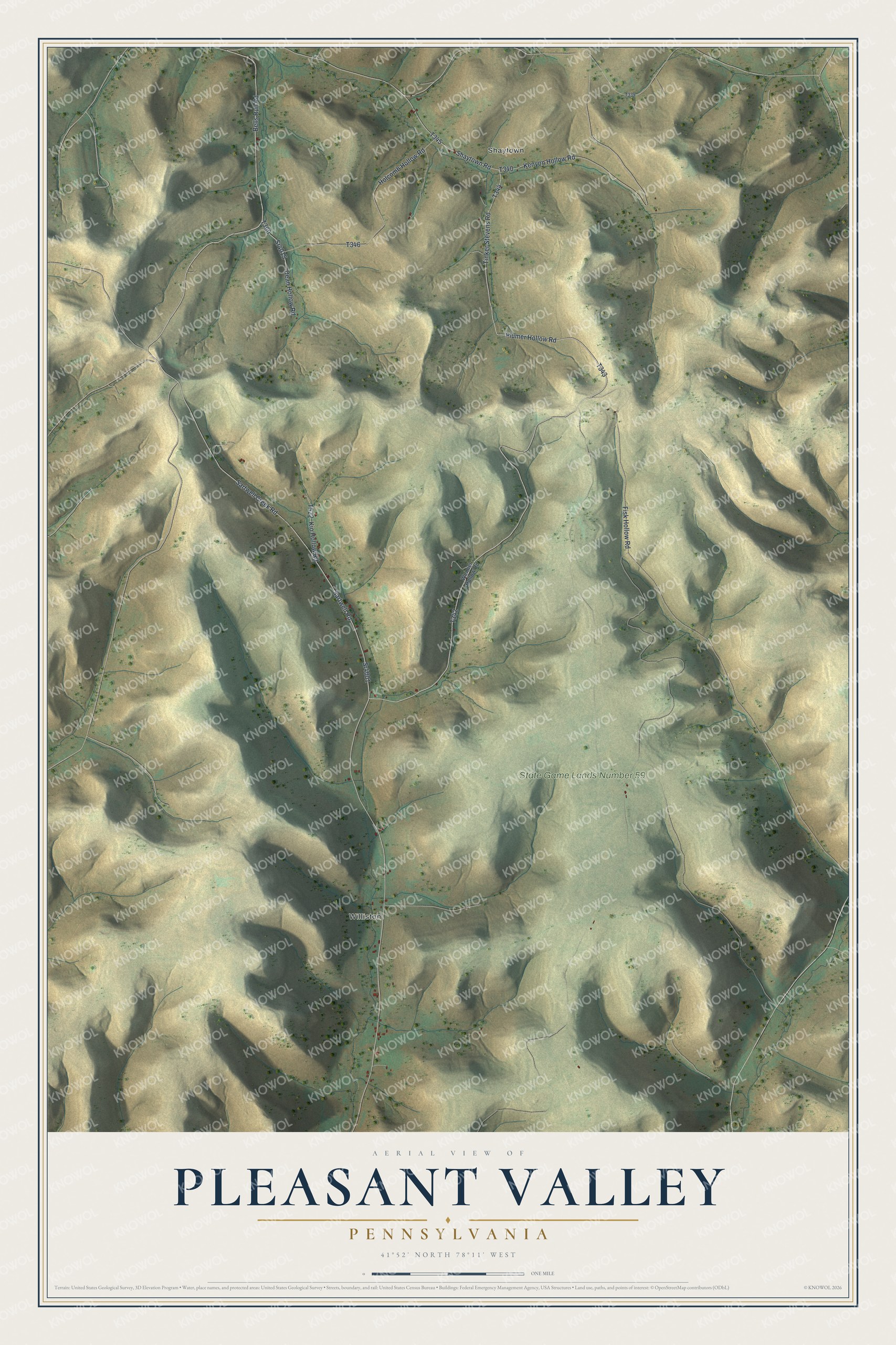
Created by KNOWOL in 2026, this map of Pleasant Valley fits a den, an office or a camp wall. Its steep ridges are shaded from USGS elevation data, and its roads follow Census Bureau lines. The title panel reads "Aerial View of Pleasant Valley, Pennsylvania," with the coordinates 41°52' North, 78°11' West and a one-mile scale bar.
It's a good gift for someone who grew up in Pleasant Valley, moved away from Potter County, or still drives Sartwell Creek Road to get home. Open the preview, zoom in and find the hollow you know. Shop the Pleasant Valley, Pennsylvania map.