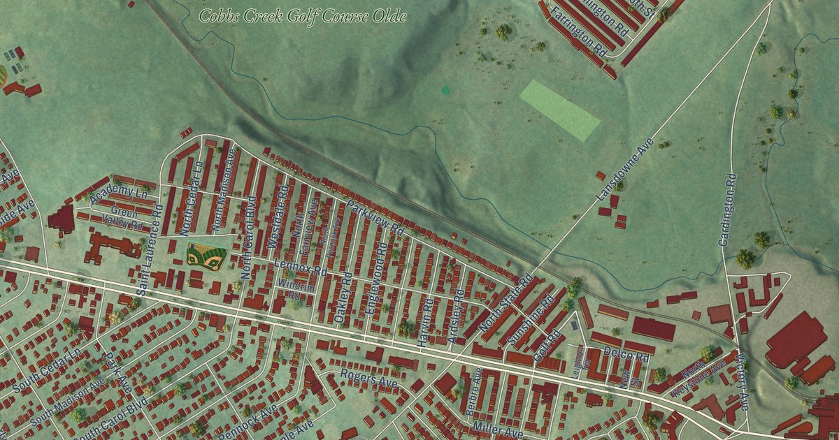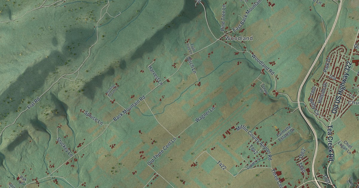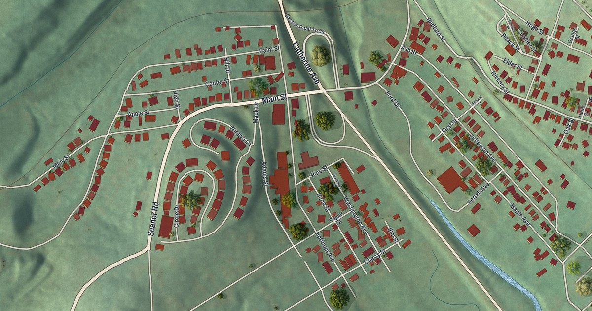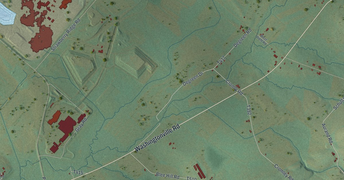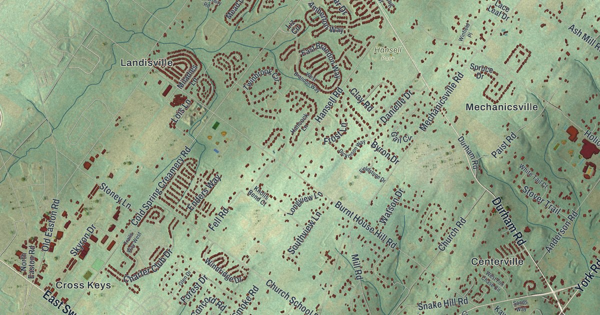
This beautifully detailed map of Buckingham, Bucks County, Pennsylvania was created in 2026 using aerial imagery combined with modern topographical, census, street and landmark data. It’s a one-of-a-kind view of Buckingham that combines accurate data with a vintage aesthetic. The map shows every building in its true location, many of the roads carry their names, and the shaded topographic relief shows the shape of the land.
Explore an aerial view of Buckingham, Bucks County, Pennsylvania
On the map you’ll find Hansell Park, Bennetts Corner, Bridge Valley, Buckingham Valley, Centerville, Cottageville, Cross Keys, Five Points, Forest Grove, Furlong, Glendale, Highton, and more. If you look closely you can even find your house accurately drawn in its correct location. Zoom in on the preview to look for yours.
Take a closer look at the Buckingham, Bucks County map
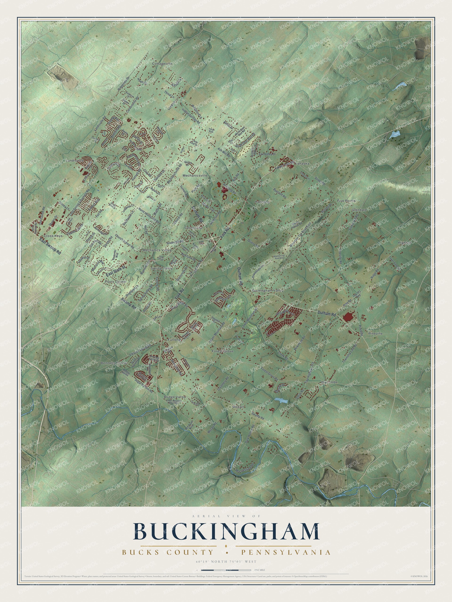
Street and place names on the Buckingham, Bucks County, Pennsylvania map
These names are printed on the map of Buckingham, Bucks County, Pennsylvania.
Places: Hansell Park, Bennetts Corner, Bridge Valley, Buckingham Valley, Centerville, Cottageville, Cross Keys, Five Points, Forest Grove, Furlong, Glendale, Highton, Holicong, Lahaska, Landisville, Mechanics Valley, Mechanicsville, Mozart, Pineville, Pools Corner, Spring Valley and Wycombe.
Streets and roads: Durham Road, York Road, Swamp Road, East State Street, East Swamp Road, Edison Furlong Road, Forest Grove Road, Mountain Top Road East, Street Road, Lower Mountain Road, Holicong Road, Mechanicsville Road.
More street names, A to Z
Amberton Way, Anderson Road, Antler Drive, Arbor Lane, Ash Mill Road, Ash Road, Barness Court, Bedfordshire Road, Beech Lane, Bellflower Lane, Biddeford Circle, Branches Lane, Brooke Drive, Burnt House Hill Road, Byecroft Road, Byron Drive, Canterbury Road, Carversville Road, Charter Club Drive, Church Road, Church School Road, Clay Road, Cold Spring Creamery Road, Concord Road, Corson Lane, Countryside Circle, Cranberry Road, Creamery Road, Creek Road, Danielle Drive, Dark Hollow Road, Davis Drive, Daystar Drive, Derbyshire Road, Devonshire Drive, Dickinson Way, Dogwood Lane, Dorchester Street West, East Brandon Way, Edgehill Drive, Enders Way, Fell Road, Fieldstone Drive, Forest Drive, Fox Valley Drive, Franklin Drive, Frost Lane, Furlong Road, Gail Circle, Glen Drive, Green Ridge Road, Greenspire Lane, Grundy Way, Hancock Lane, Hansell Road, Hawk Circle, Heritage Center Drive, Hughsian Drive, Indian Springs Road, Indian Walk, Kavan Court, Knolls Bend Court, Lace Leaf Drive, Lancaster Drive, Landisville Road, Lexington Drive, Liz Circle, Lois Lane, Long Lane, Longview Lane, Lovering Drive, Lower Mountain Road West, Lower York Road, Macclesfield Road, Manion Way, Mead Drive, Miladies Lane, Mill Road, Mill Road West, Morrison Way, Mountain Top Road West, Mount Hollow Road, Mozart Road, Newbolt Court, New Hope Road, New Road, North Deer Run Road, North Easton Road, Oak Crest Drive, Oak Lane, Old Easton Road, Old York Road, Paist Road, Parkside Drive, Pebble Hill Road, Pineville Road, Powder Horn Drive, Quail Drive, Quarry Road, Redfield Road, Red Gate Drive, Ridge Road, Ridgeview Drive, Robin Road, Rosemont Terrace, Ruckman Way, Salem Drive, Sands Way, Skyron Drive, Smith Road, Smoke Road, Snake Hill Road, South Cloverly Drive, South Deer Run Road, Southview Lane, Spring Hunt Lane, Spring Meadow Circle, Spring Valley Road, Spruce Drive, Stonecrest Lane, Stoney Hill Road, Stoney Lane, Stover Trail, Sugar Bottom Road, Sunnyside Drive, Thisal Lane, Tower View Circle, Township Line Road, Trails Way West, Twinbrook Circle, Twp 373 Highway, Twp Highway 373, Upper Mountain Road, Valley View Drive, Village Lane, Watson Drive, Wellsford Lane, West Brandon Way, West Fox Chase Circle, White Tail Court, Wiltshire Road, Windridge Drive, Winfield Place, York Drive.
See the Buckingham, Bucks County, Pennsylvania map on a wall
The Buckingham, Bucks County map as an 18 x 24 inch print in a black frame.

This beautifully detailed map of Buckingham, Bucks County makes an attractive addition to your office, library, or den, and it can even be used to teach children the geography and history of the area. It also makes a great gift for anyone with Buckingham roots. When you’re done exploring, click here to get your copy of the Buckingham, Bucks County map.