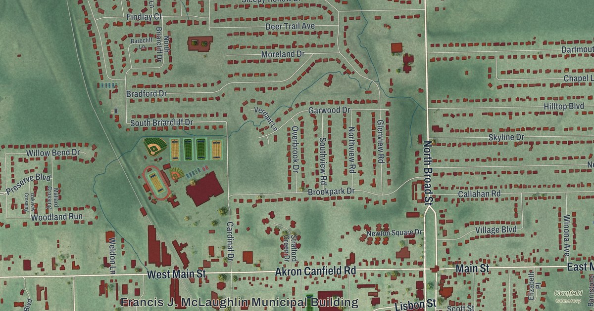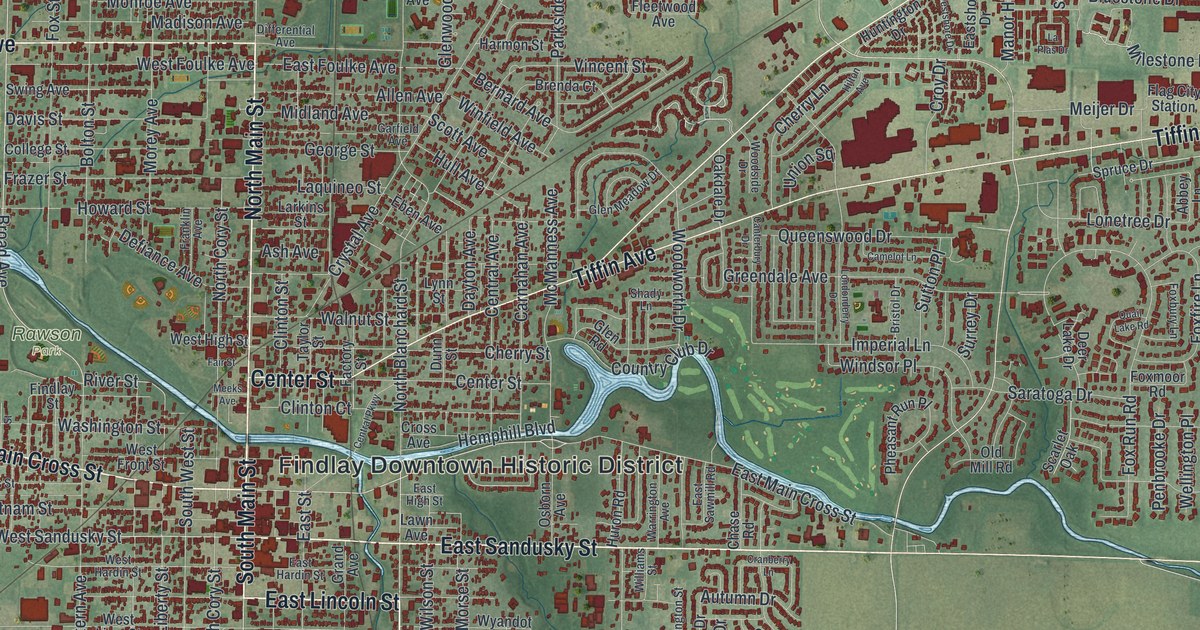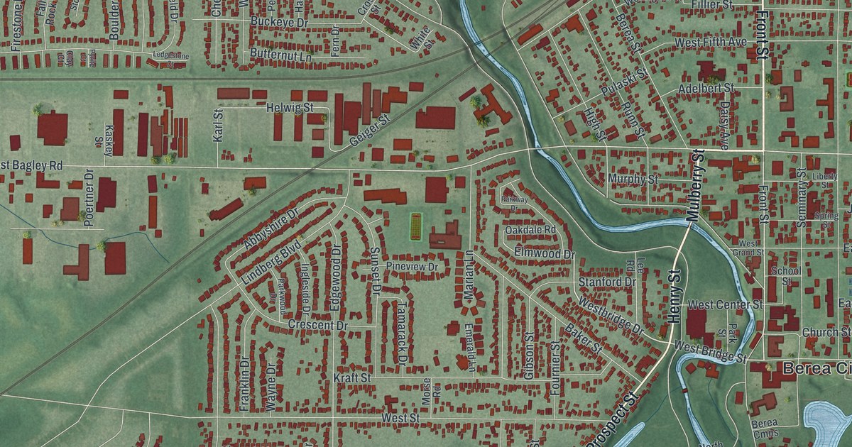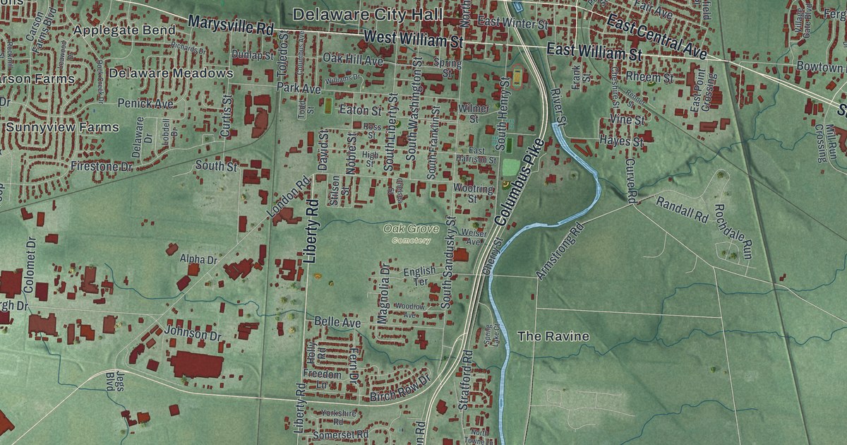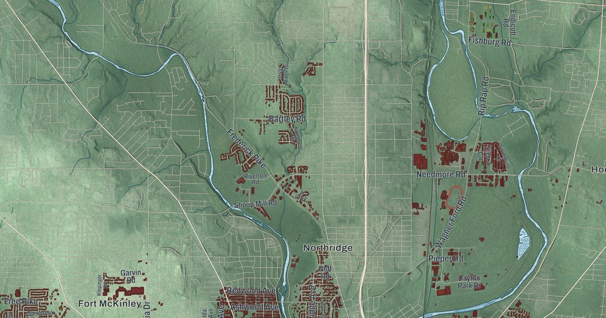
If you grew up in Dayton, or still have family in Belmont, Riverdale or off Salem Avenue, this map gives you a lot to find. It's a modern aerial view of Dayton in Montgomery County, Ohio, built from modern data and given a vintage look. The city fills the lower middle of the sheet, where the rivers come together. More than 165,000 buildings are drawn in dark red. Green shaded hills fill the top half, with National Road running across them and two long lakes at the top edge. The rivers and lakes aren't labeled, but their blue shapes are easy to spot. Explore the print options for Dayton.
Salem Avenue, Wayne Avenue and the Dayton Soldiers Home
Start downtown, where Main Street and Third Street cross near the bend in the river. From here, Salem Avenue heads northwest. It runs through Upper Dayton View and on out to Fort McKinley. Now go back downtown and follow Riverside Drive north along the river. It passes Riverdale and then North Riverdale. Next, take Wayne Avenue southeast out of downtown. It passes Walnut Hills and reaches Ohmer Park. There, Watervliet Avenue carries on to Belmont. To the east of downtown, Eastwood MetroPark is named beside a string of blue ponds. Many roads carry labels, and each red shape is a building. Zoom in on the preview and find your block.
Dayton has cared for veterans since the Civil War. On March 3, 1865, President Abraham Lincoln signed the law that started the Dayton Soldiers Home. Its official name was the Central Branch of the National Asylum for Disabled Volunteer Soldiers. It was one of the three original veterans' hospitals in the country. The first Civil War veterans came in 1867. By 1884 it was a planned town of its own, with a hospital, housing and gardens. It served 64 percent of the veterans in the government's care. It drew tourists, too. In 1906 it had 517,106 visitors. Today it's the Dayton VA Medical Center. Its state historical marker ends with Lincoln's promise "To care for him who shall have borne the battle, and for his widow, and his orphan."
The old Soldiers Home grounds aren't labeled on this map. A road in the lower left still carries the name, though. Look for Soldiers Home West Car Road near Germantown Pike and Shank Road.
Here's one more Dayton story. Green & Green Company invented the Cheez-It in the 1920s. John Green and his son Weston started the company in 1897 to bake a hard cracker. The recipe came from Dr. William Wolf of Dayton. In 1907 they built a bakery at the corner of Cincinnati and Concord streets, in the Edgemont neighborhood. Weston Green applied to trademark the name "Cheez-It" in 1921. Concord and Edgemont aren't labeled, but Cincinnati Street is. Find it near Patterson in the lower middle of the sheet.
For anyone from Riverdale, Belmont or the West Side
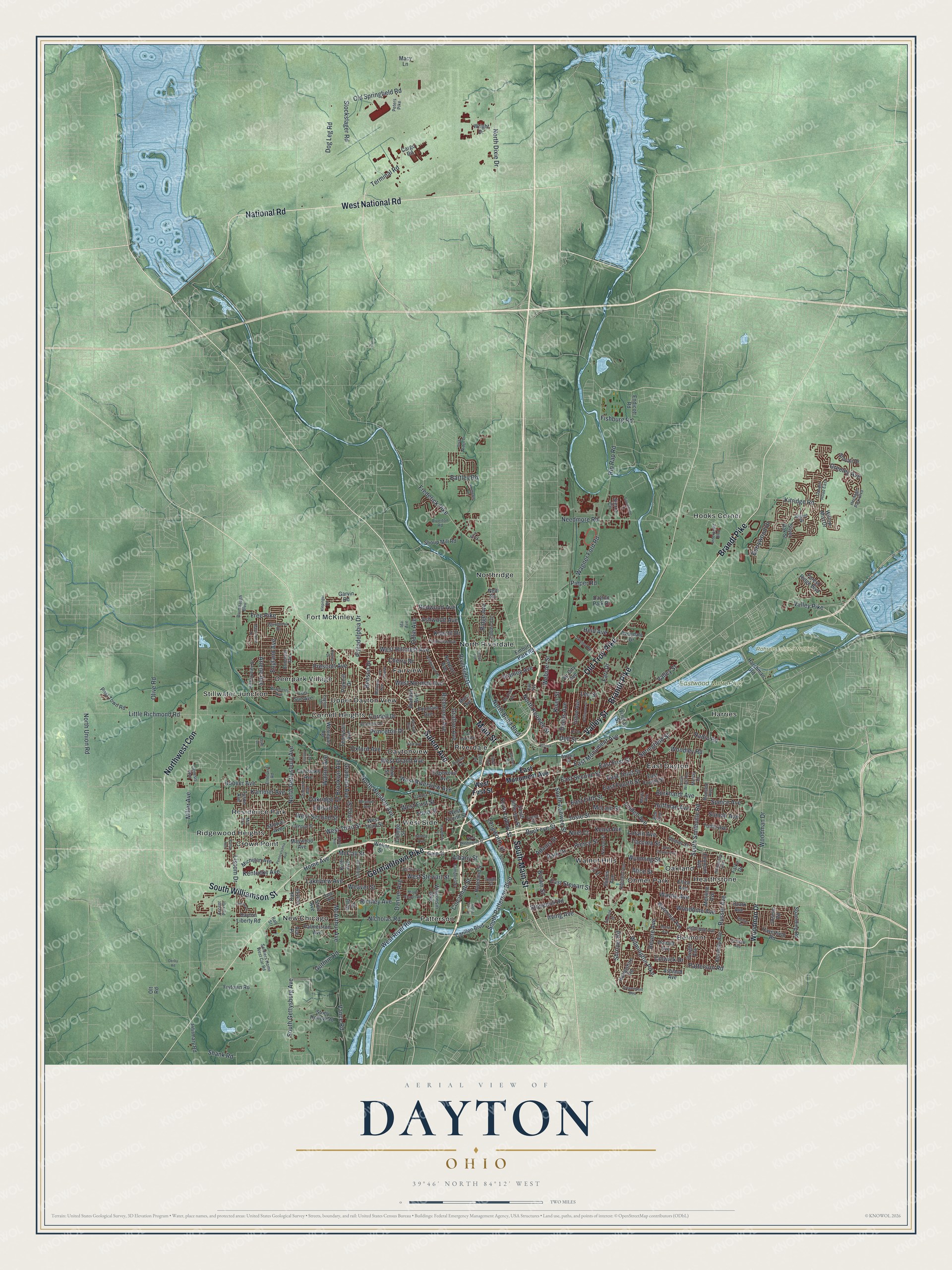
Created by KNOWOL in 2026, this Dayton map uses USGS elevation data to shade the hills and valleys in green. Streets come from Census Bureau records. Buildings are dark red, and the water is soft blue. The title panel reads "Aerial View of Dayton, Ohio" with 39°46' North 84°12' West and a two-mile scale bar.
It fits a living room, an office or a den. It's a good gift for someone who grew up in Dayton and moved away, or for a family that has lived on the same street for years. Open the preview, zoom in where the rivers meet and find a street you know. Shop the Dayton, Ohio map.