If you grew up in Ashtabula, worked near the harbor, or still have family close to Bridge Street, this map gives you plenty to find. It's a modern aerial view of Ashtabula in Ashtabula County, Ohio, made from modern data and finished with a vintage artistic feel. Lake Erie fills the top left of the sheet, though it isn't labeled. The Ashtabula River isn't labeled either, but you can't miss it. It winds down from the harbor piers, past Downtown Ashtabula, and off the right side near the bottom. Nearly 13,000 buildings are drawn in deep red, from Highland Beach to Parkwood Village. Explore the print options for Ashtabula.
Bridge Street, Lake Avenue and Downtown Ashtabula
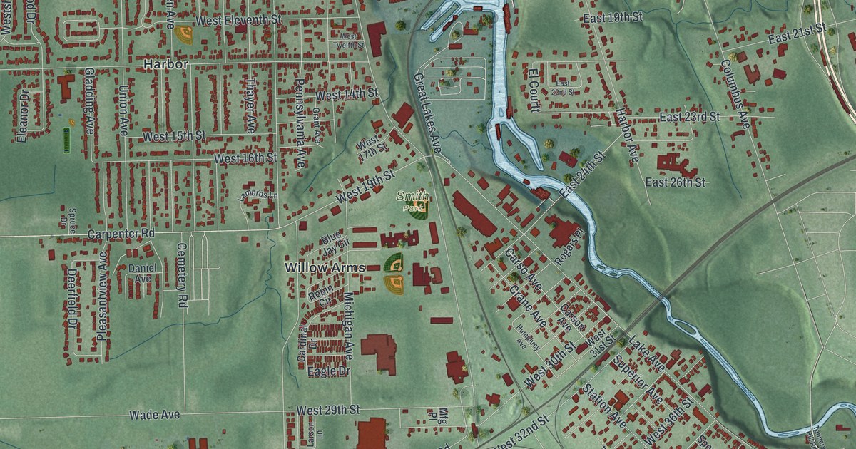
Start at the harbor at the top of the sheet, where the river meets the lake. Morton Drive runs along the west bank of the river, and Bridge Street leaves it there and heads southwest to Lake Avenue. Just north of that corner, Walnut Boulevard runs west toward Highland Beach. Now follow Lake Avenue south, past Smith Park. The road ends at Main Avenue, which takes you into Downtown Ashtabula near Center Street. Across the river, East 46th Street runs through a small grid, and State Road passes Crestlawn Village and Parkwood Village. Back up north, East Sixth Street leads to East Ashtabula. Southwest of downtown, West Prospect Road and North Ridge Road West cross the sheet on a slant. Many of the roads are labeled, and each red shape is a building, so zoom in on the preview and look for yours.
Bridge Street wasn't always a street. A state historical marker there says it started as a gully full of brush. Then the Pittsburgh, Youngstown and Ashtabula Railroad was finished in 1873. After that, iron ore could ship straight from this harbor to the steel mills of Youngstown and Pittsburgh. The buildings on the block closest to the river were made of wood, and fire was hard on them. A fire in 1886 nearly cleared the north side of Bridge Street. Another swept the south side in 1900. Brick buildings went up in their place. By the time the rebuilding was done, the street had risen about eight feet. The river crossing changed too. A swing bridge replaced the old pontoon bridge in 1889, and a lift bridge took its place in 1925. On the map, find where Bridge Street meets the river near the top. That's the block the marker is talking about.
Just north of where Bridge Street meets Lake Avenue is a second story. William and Catharine Hubbard built a house in the 1840s at the corner of Walnut Boulevard and Lake Avenue. People escaping slavery called it "Mother Hubbard's Cupboard." From the house, they walked a quarter mile to the Hubbard and Company warehouse on the river. Boat captains waited there to carry them to Canada and freedom. The Hubbard House was listed on the National Register in 1973, and today it's a museum. It isn't labeled on the map, but you can find that corner where Walnut Boulevard meets Lake Avenue.
For anyone who knows the harbor and Main Avenue
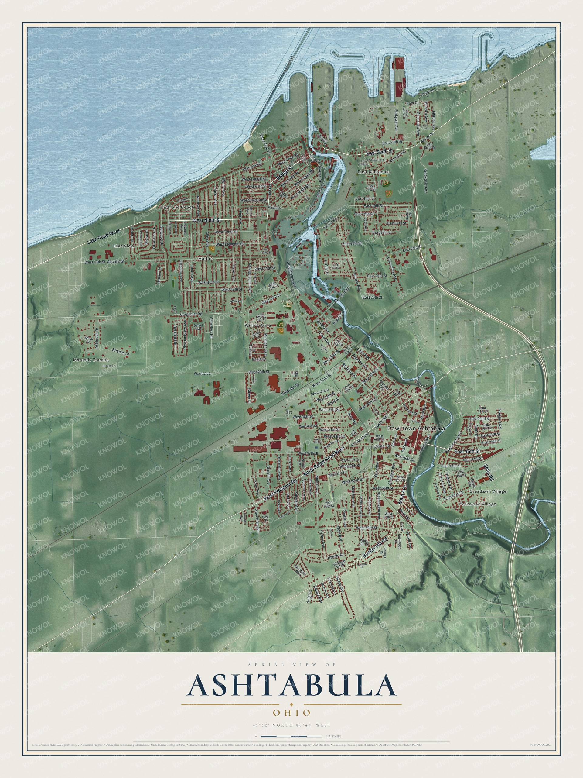
Created by KNOWOL in 2026, this Ashtabula map shows the land in soft shaded green, with the lake and the river in blue. The shaded hills and the river gully come from USGS elevation data, and the buildings are drawn in deep red. The title panel reads "Aerial View of Ashtabula, Ohio" with 41°52' North, 80°47' West and a half-mile scale bar.
It suits a kitchen, a den or an office. It's a good gift for someone who grew up in Ashtabula and moved away, or for a family with roots near the harbor. Open the preview, zoom in and find the street you know. Shop the Ashtabula, Ohio map.