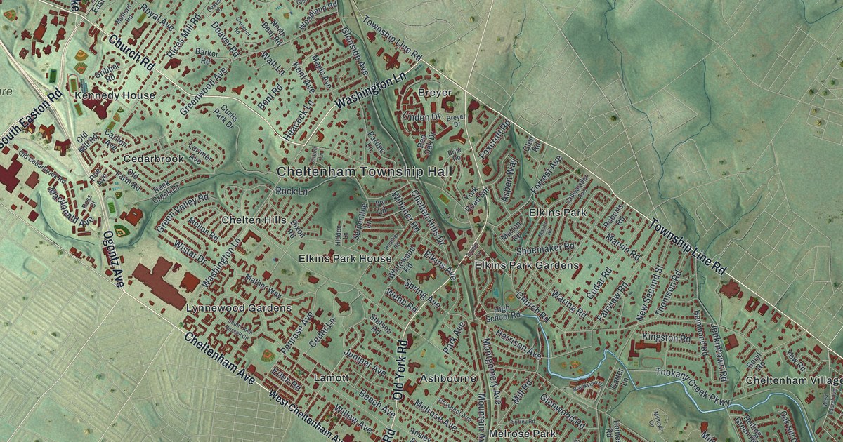
If you grew up in Elkins Park, Wyncote, Glenside or Melrose Park, or you still have family along Old York Road, this map has your streets on it. It's a modern aerial view of Cheltenham Township in Montgomery County, Pennsylvania, made from modern data and finished with a vintage look. The township runs as a long, narrow strip from the top left of the sheet down to the bottom right. Inside it, the buildings are drawn in deep red. Outside the township line, the land stays soft green, with the hills shaded and the roads beyond drawn faintly. Explore the print options for Cheltenham.
Old York Road, Church Road and Lamott
Start at Cheltenham Township Hall, near the middle of the strip. Old York Road runs right past it. Follow it south, past Elkins Park House and Ashbourne. Near the bottom it meets Cheltenham Avenue, which runs along the lower edge of the township. Now go back to the Township Hall and take Church Road northwest. It passes Kennedy House and crosses Limekiln Pike. Oak Summit and Wyncote sit just above it, and Glenside is up at the top. Laverock and Hill Crest fill the far top left corner. To the southeast, Ashbourne Road heads down to Ashmead Village. Tookany Creek Parkway follows a thin blue creek toward Cheltenham Village and Cottman Avenue, and Oak Lane Manor sits at the bottom. Many of the roads are labeled, and each red shape is a building, so zoom in on the preview and look for yours.
Lamott is the place to start when a guest asks about the map. Two state historical markers there tell its story. During the Civil War, this ground was Camp William Penn. It was Pennsylvania's only training camp for African American soldiers. It was also the largest of 18 such camps in the nation. The first recruits came on June 26, 1863. More than 10,000 men trained here, in 11 regiments of U.S. Colored Troops. Many went on to fight in Virginia, South Carolina and Florida. The camp closed on August 14, 1865. Right after the war, a village was laid out on the old camp ground. At first it was called Camptown.
Look just above Cheltenham Avenue, to the left of York Road, and you'll find the Lamott label. The streets around it sit on the ground where those soldiers trained. Another marker, on Old York Road just north of Cheltenham Avenue, says Lucretia Mott's home stood nearby. She was a Quaker who worked against slavery and for women's rights. Farther up Old York Road, right by the Cheltenham Township Hall label, stands Beth Sholom Synagogue. It isn't labeled on the map. Frank Lloyd Wright designed it, Rabbi Mortimer J. Cohen worked with him on it, and it was finished in 1959. It's the only synagogue Wright ever designed.
A gift for anyone from Glenside to Oak Lane Manor
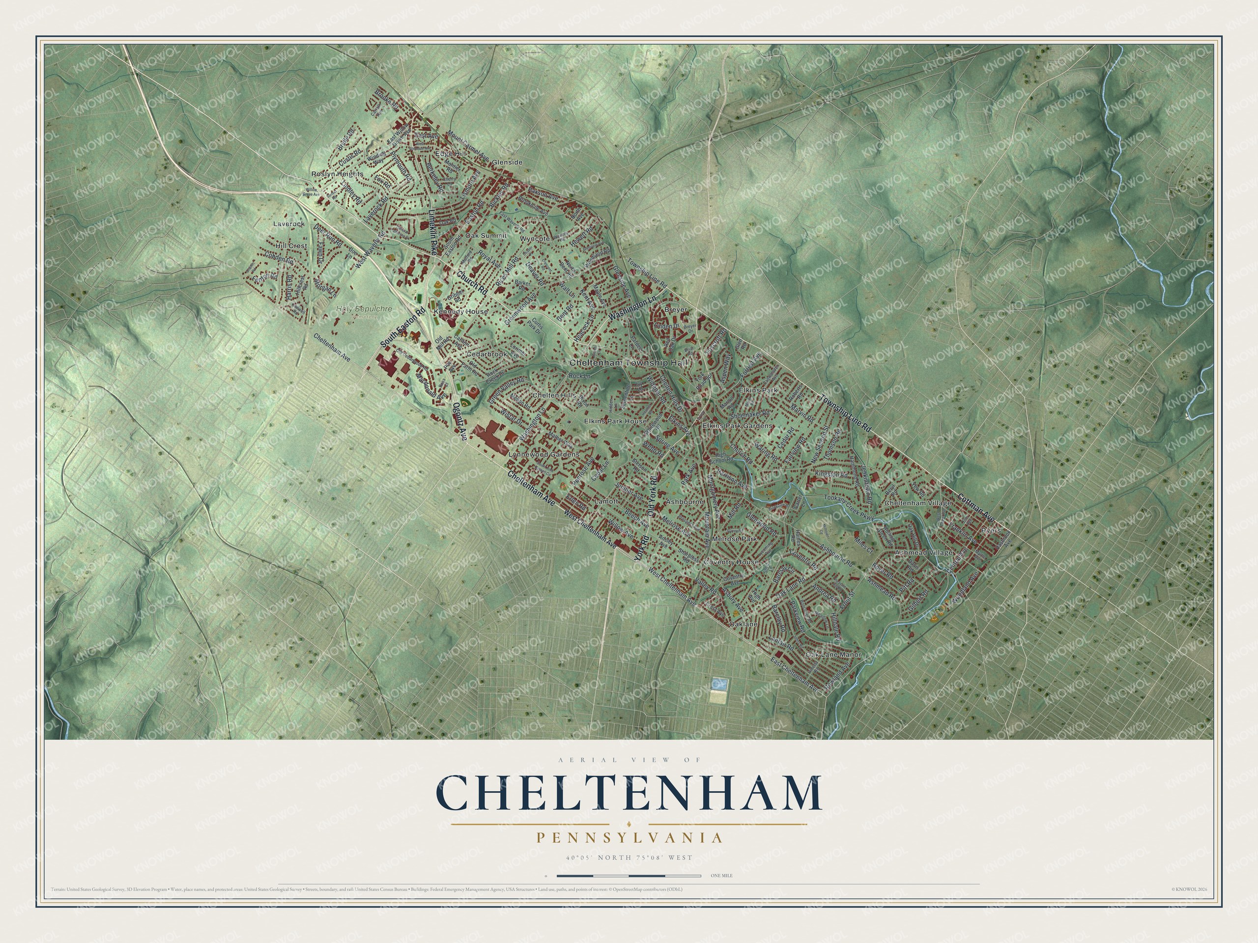
Created by KNOWOL in 2026, this Cheltenham map would suit an office, a den or a front hall. The hill shading comes from USGS elevation data, and the red buildings stand out against the soft green land. The title panel reads "Aerial View of Cheltenham, Pennsylvania," with the coordinates 40°05' North, 75°08' West and a one-mile scale bar.
It's a thoughtful gift for anyone who grew up in Cheltenham and moved away, or who has family in Elkins Park, Lamott or Wyncote. Open the preview, zoom in and find the block you know. Shop the Cheltenham, Pennsylvania map.