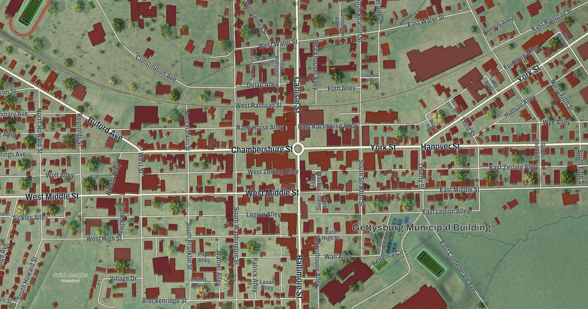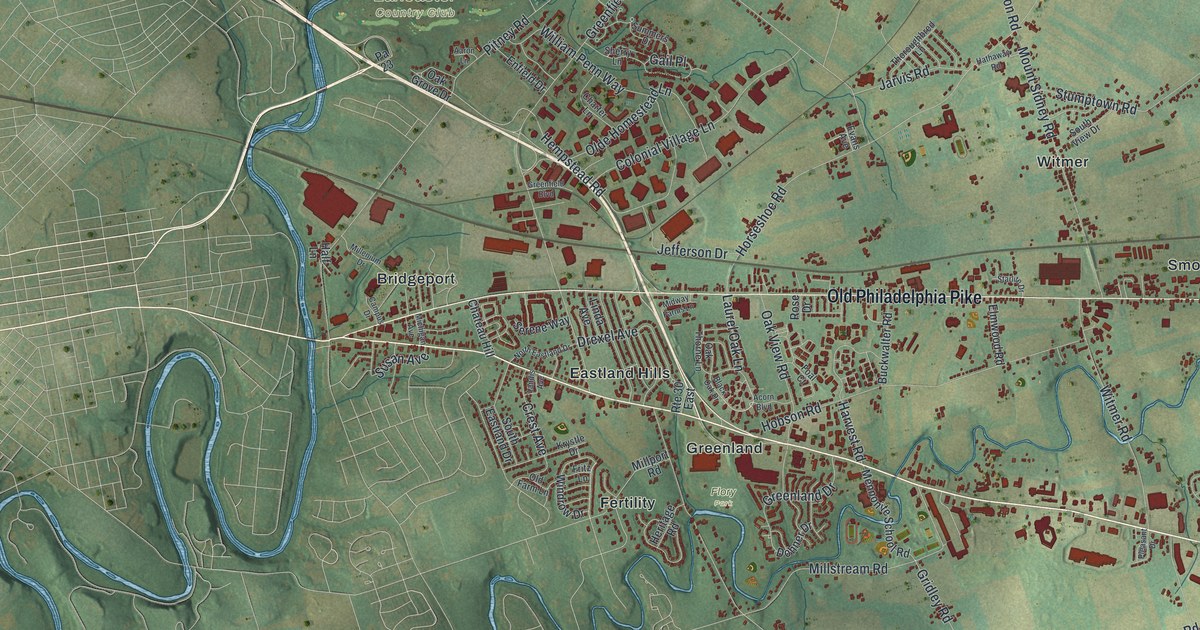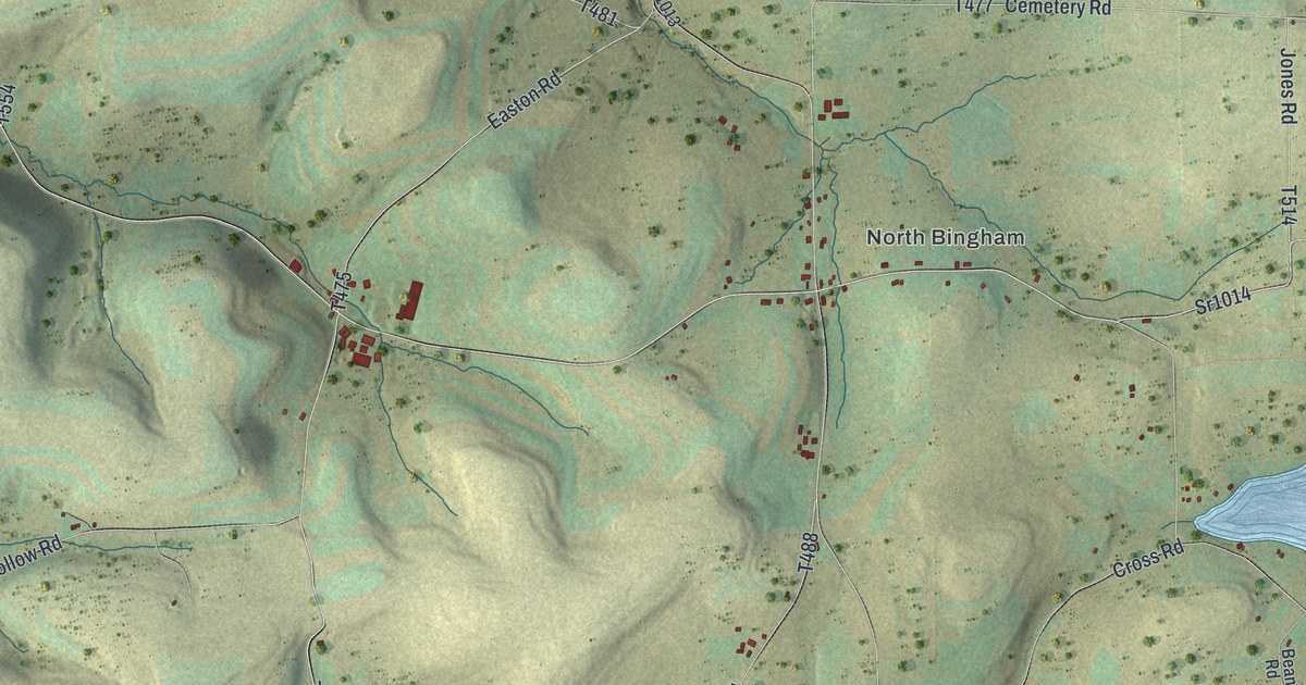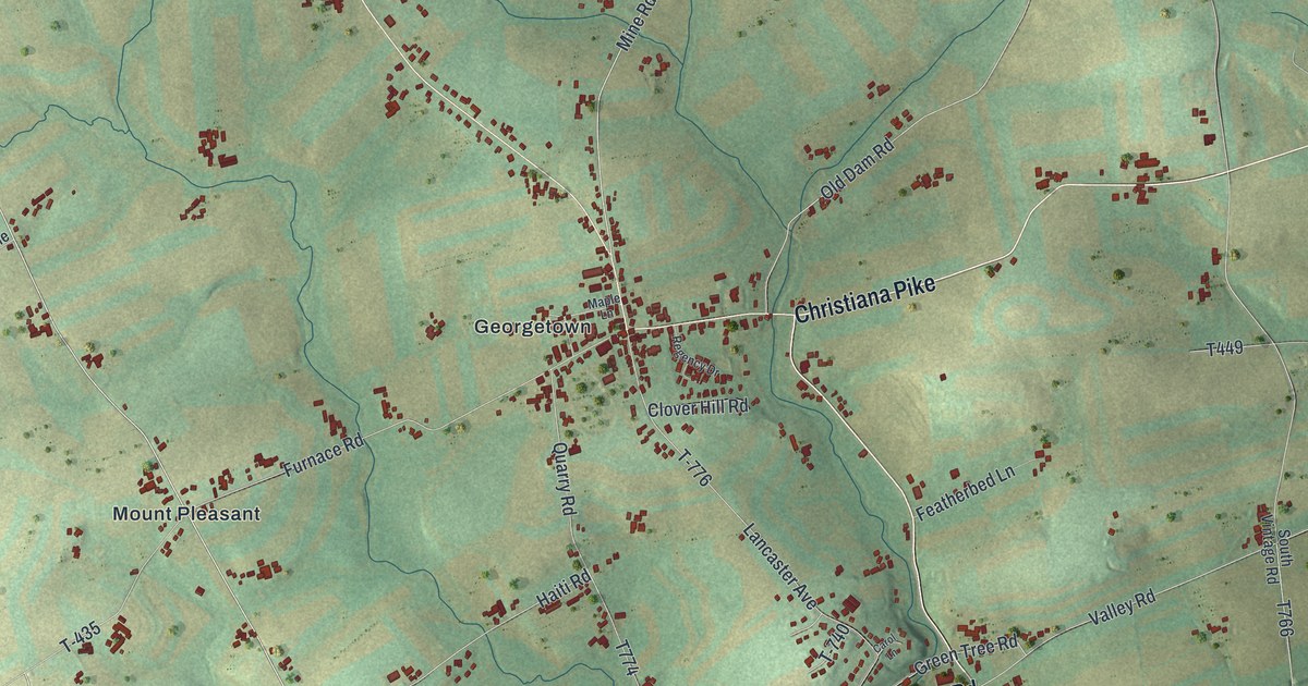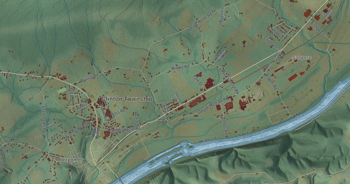
If you grew up in Clinton Township, or you still have family out along State Home Road or Elimsport Road, this map gives you a lot to find. It's a modern aerial view of Clinton Township in Lycoming County, Pennsylvania, made from modern data and given a vintage look. A long wooded ridge fills the top half, with Tiadaghton State Forest printed across it. The river isn't labeled, but you'll see it curl around the east end of the ridge. Below it, homes and farms are drawn in red along the valley roads, from Elimsport Road to Saegers and down to Montgomery. Explore the print options for Clinton, Lycoming County.
From Elimsport Road to Saegers
Start at the Clinton Township label in the middle of the valley. State Home Road heads east from there. Brouse Road and Brick Church Road cross it first, then Heilman Circle and Carpenters Lane. Just below, Saegers Station Road runs the same way, past Riddell Road and Tebbs Road, toward Saegers near the river. Now go back to the middle and follow Pinchtown Road south. McNett Road, Snaurytown Road and School House Road all meet it on the way to Montgomery, printed at the bottom center. For the west side, take Elimsport Road out toward the left edge. Pentz Lane and Smith Drive branch off it, and White Deer Golf Course sits below, near Baker Lane. Many of the roads are labeled, and each red shape is a building, so zoom in on the preview and look for yours.
The valley has an old name that isn't printed on the map: Black Hole Valley. An 1892 history of Lycoming County gives two stories for it. The one it calls more likely says early prospectors got stuck in a swamp of black muck near the foot of the mountain. When they got out, they swore they'd never be caught in that "black hole" again. The same book tells what the first settlers lived through here. Early in November 1787, snow fell four feet deep. It stayed on the ground until late April. Nearly all the stock froze or starved, and men could only get around on snowshoes. Major John Ten Brook was a good hunter, and he kept several families in deer meat all winter. By spring he had one mare left.
When the roads opened, Ten Brook's father-in-law, Mr. Emmons, drove in from New Jersey. His four-horse wagon carried salt, seed, wheat and corn. He also brought a fishing net several hundred feet long. The settlers took it to Lawson's island in the river. On the first haul they caught 2,500 shad, each one four to eight pounds. The news was cut into the bark of a maple on the island, and people could still read it twenty years later. Emmons came back later with another load. On a trip home, a tree fell across his wagon while he slept, and he was killed. The island washed away after the canal was built, but the river that fed the valley that spring still bends around the ridge on the map.
East Blind Road is printed on the map too. A state historical marker by that road says Eagle Grange No. 1 was Pennsylvania's first Grange. It was organized on March 4, 1871, more than two years before the state Grange. Granges were farm groups that worked for lower railroad rates and rural mail delivery. The marker says they were early to give women equal standing. A Grange hall was built there in 1887.
For anyone who knows State Home Road or Montgomery
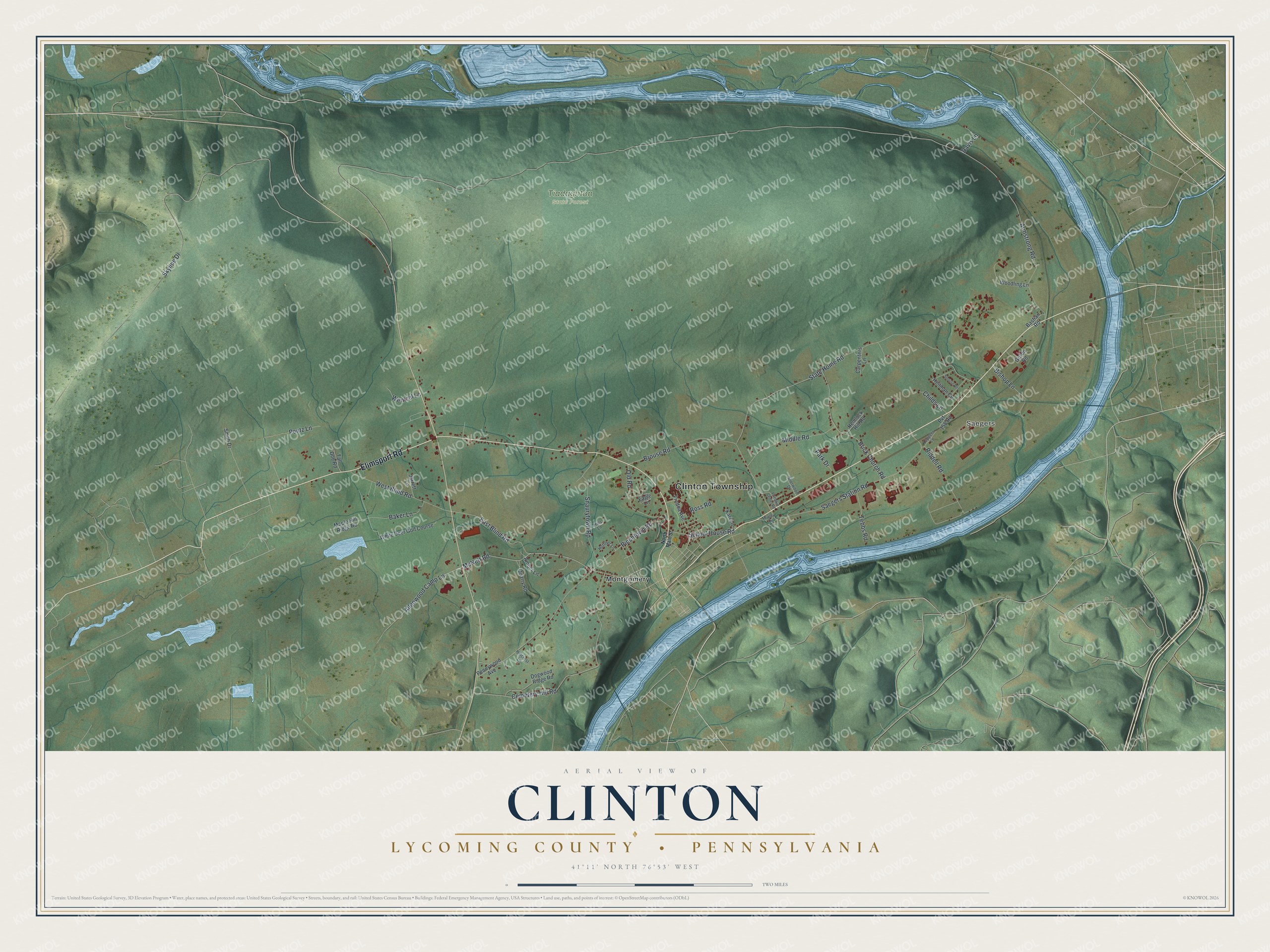
Created by KNOWOL in 2026, this Clinton map would suit a farmhouse kitchen, a den or an office. The shaded ridge and hills come from USGS elevation data, and the buildings are drawn in deep red on soft green. The title panel reads "Aerial View of Clinton, Lycoming County, Pennsylvania," with 41°11' North 76°53' West and a two-mile scale bar.
It's a thoughtful gift for someone who grew up in Clinton Township, moved away from the valley, or still has family near Montgomery. Open the preview, zoom in and find the road you know. Shop the Clinton, Lycoming County, Pennsylvania map.