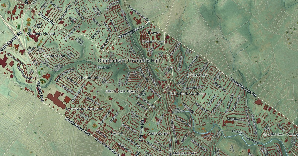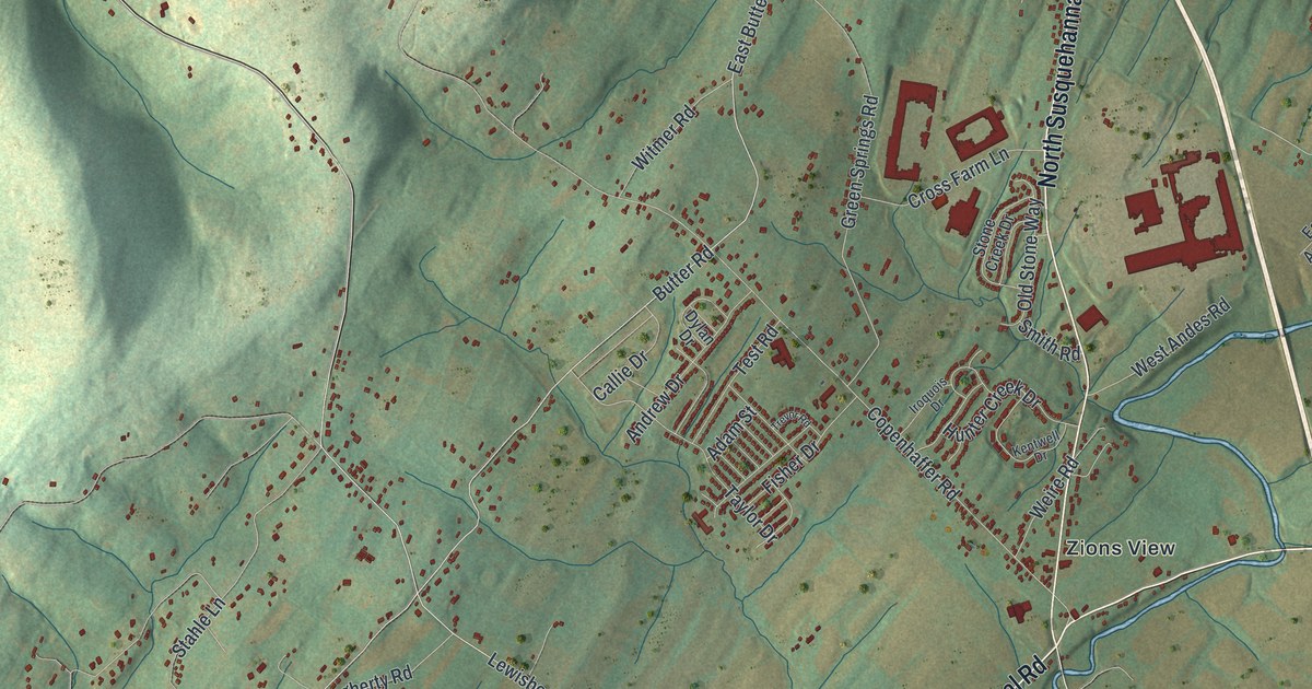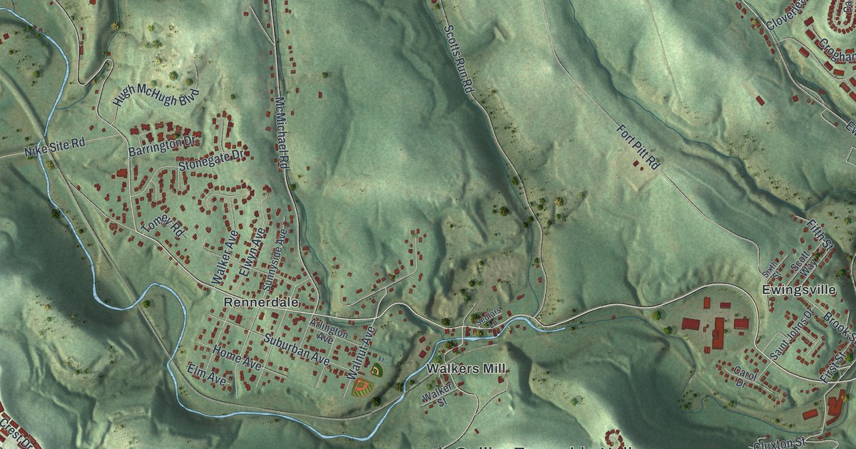
If you grew up in Rennerdale, Presto or Kirwan Heights, or you've driven Noblestown Road to work for years, this map has a lot for you to find. It's a modern aerial view of Collier Township in Allegheny County, Pennsylvania, made from modern data with a vintage look. More than 10,000 buildings are drawn in deep red on shaded green hills. Deep hollows cut between the ridges, and a creek line, not labeled, winds across the middle. The busiest spot is in the lower right, where Washington Pike runs past Kirwan Heights. Explore the print options for Collier.
Collier Township Hall, Noblestown Road and Walkers Mill
Start at Collier Township Hall in the middle of the map. Hilltop Road runs right past it. Follow Walkers Mill Road a short way north and you'll reach Walkers Mill, on Noblestown Road. Noblestown Road crosses the whole sheet. It starts at Gregg on the left, then passes Rennerdale and Walkers Mill before it reaches Ewingsville on the right. Now go back to the hall. Boyds Run Road heads south from there, down to Presto and Thoms Run Road. Thoms Run Road runs along the bottom, past Hickman and Federal, and meets Washington Pike near Kirwan Heights. Back on Hilltop Road, head west past Neville Woods Conservation Area to Beechmont and Collier Park. Up top, Baldwin Road and Campbells Run Road cross the hills, and Settlers Cabin Park sits near the top left. Many of the roads are labeled, and each red shape is a building, so zoom in on the preview and look for yours.
How the Walkers and Ewings settled Collier in the 1770s
Collier Township was formed on June 7, 1875, from parts of Robinson, South Fayette and North Fayette. Voters said yes by 66 votes, out of 190 cast. The township was named for Frederick H. Collier, a judge on the county court. That's all in an 1889 county history, which also tells who came first. The first families here were the Ewings and the Walkers. James Ewing was born in Maryland and came west in 1770. He built the first gristmill on Robinson's run. His land ran two miles, all the way to Walker's Mills. Ewing brought enslaved people with him. The history says he freed one man, Boatswain, who made a home at a spot later known as Camp Hill.
Gabriel and Isaac Walker came from Lancaster County in 1772. Their land ran from Robinson's run to Scott's run, about 2,000 acres. Isaac settled at Walker's Mills. There were no wagon roads yet. Every spring and fall, Isaac took packhorses back to Lancaster County for ammunition and supplies. The history says he had one more reason to go. He was courting a young widow there, and he married her in 1779. Frontier life was hard, too. In September 1782, a Native raiding party of about 25 burned Gabriel Walker's cabin. Two of his children were killed, and three were taken captive. An indentured boy, William Harkins, got away and warned Isaac's family. The three captives came home in 1784.
Those family names are still on the map. Walkers Mill is printed on Noblestown Road, and Walkers Mill Road leads up to it. Ewingsville sits to the east, and Ewing Road runs through the hills north of it. A short Camp Hill Road is printed on the right side too. The same history lists other early families, like the Boyds, Nesbitts, Hickmans and Cowans. Look for Boyds Run Road, Nesbitt Road, Hickman and Cowan Road. The Walker-Ewing Log House is on the National Register. It stands off Noblestown Road in Collier Township, but it isn't labeled on the map. One more name belongs to Rennerdale. A state historical marker there says William T. Kerr lived in town from 1911 to 1928. He's known as the Father of Flag Day. In 1949, he stood beside President Truman as Truman signed the act making June 14 Flag Day.
For anyone who knows Noblestown Road and Walkers Mill
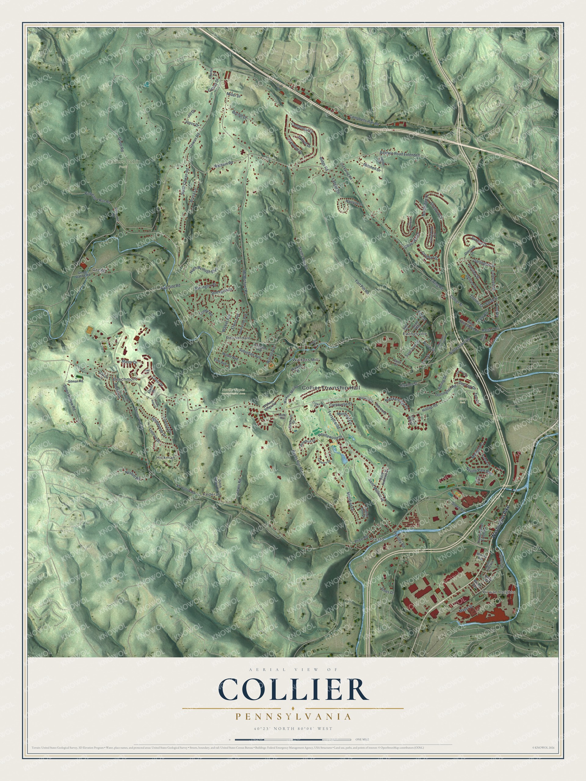
Created by KNOWOL in 2026, this Collier map shows the township's roads and buildings, with the hills shaded from USGS elevation data. The title panel reads "Aerial View of Collier, Pennsylvania," with the coordinates 40°23' North, 80°08' West and a one-mile scale bar.
Hang it in a home office, a den or a family room. It makes a good gift for someone who grew up in Collier and moved away, or for family still living off Thoms Run Road or Hilltop Road. Open the preview, start at Collier Township Hall and find your street. Shop the Collier, Pennsylvania map.