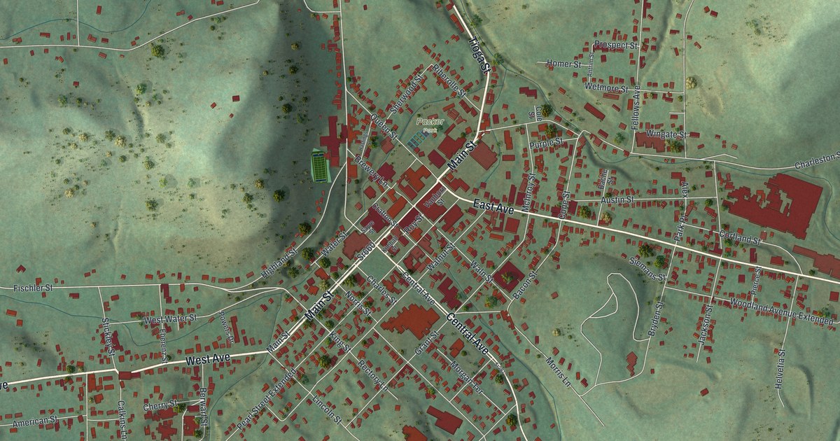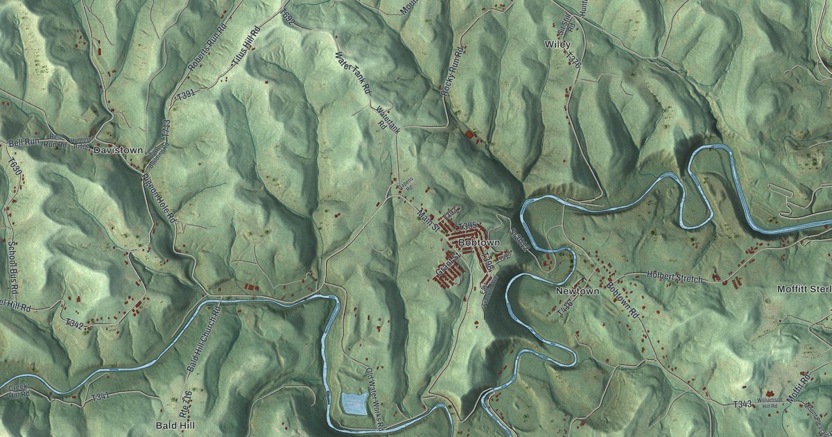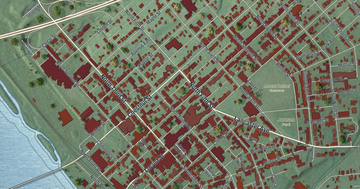
If you grew up in Columbia, went to school here, or still have family near the river, this map gives you plenty to find. It's a modern aerial view of Columbia in Lancaster County, Pennsylvania, made from modern data and given a vintage feel. The old downtown sits on the left side of the sheet, right along the water. From there the streets climb east toward Lancaster Avenue, three cemeteries and the green hills at the top. About 2,600 buildings are marked in red. Explore the print options for Columbia, Lancaster County.
South Front Street, Lancaster Avenue and Laurel Hill Cemetery
Start down on South Front Street, which follows the river along the lower left of the sheet. The Susquehanna River isn't labeled, but you can't miss all that blue. Head north and turn up Locust Street, Chestnut Street or Walnut Street. All three climb northeast through the oldest part of town, and North Third and North Fifth Streets cross them. From Locust Street, take Lancaster Avenue east out of the grid. Mount Bethel Cemetery and Jansen Park sit close together along it, and Trinity Cemetery is a little farther south. Keep going and Lancaster Avenue reaches Malleable Road near the right edge. For the last stop, go up to the top left corner. Laurel Hill Road runs past Laurel Hill Cemetery there, and Ironville Pike passes it on the way to the top right. Many of the roads are labeled, and each red shape is a building, so zoom in on the preview and look for yours.
Columbia began as Wright's Ferry. A state historical marker near Chestnut and North Second Streets says John Wright founded it in 1726 at an important river crossing. The first bridge came in 1812. According to an 1883 county history, Walnut Street was the main road wagons took to the ferry for forty years after the town was laid out. That same history tells of a small stone mill built in 1735 on Shawanese Run, just above where it met the river. It went up on John Wright's land. His son James and a settler named Samuel Blunston built it. The mill was two stories high and about twenty-five feet square. A water wheel more than twenty feet across ran it.
In the spring of 1755, that little mill ran day and night. It was grinding flour for General Braddock's army. The flour was packed in kegs and carried over the mountains on pack horses. Three years later, the mill ground flour for General Forbes' army too. Around 1818, new owners tore down the stone mill. They built a brick one at the corner of Mill and Front Streets. Mill Street is printed on the map, running in from the lower left toward Trinity Cemetery. Look for Blunston Street and Wright Street near Mount Bethel Cemetery as well. They share their names with the two families behind that first mill.
For anyone raised between the river and Lancaster Avenue
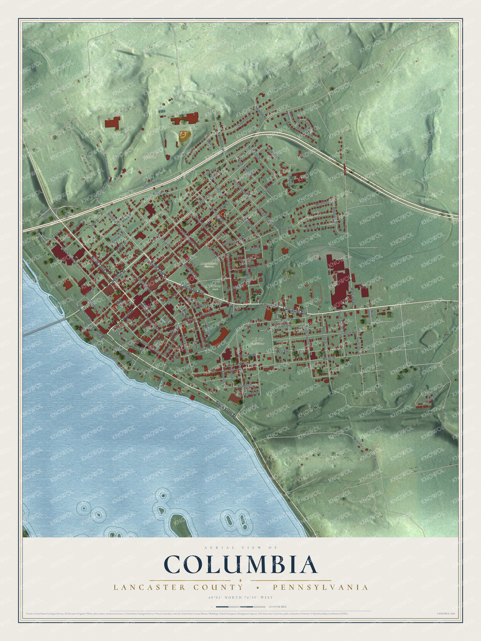
Created by KNOWOL in 2026, this Columbia map shows the river in soft blue, the hills shaded in green and each building in deep red. The shaded hills come from USGS elevation data. The title panel reads "Aerial View of Columbia, Lancaster County, Pennsylvania" with the coordinates 40°02' North, 76°30' West and a quarter-mile scale bar.
It suits a living room, a front hall or a home office, anywhere someone can stop and trace the old wagon road down Walnut Street. It's a thoughtful gift for someone who grew up in Columbia and moved away, or for family who still live near the water. Open the preview, zoom in and find your street. Shop the Columbia, Lancaster County, Pennsylvania map.