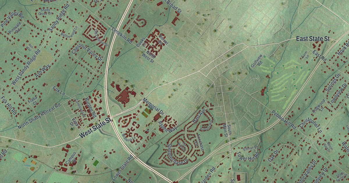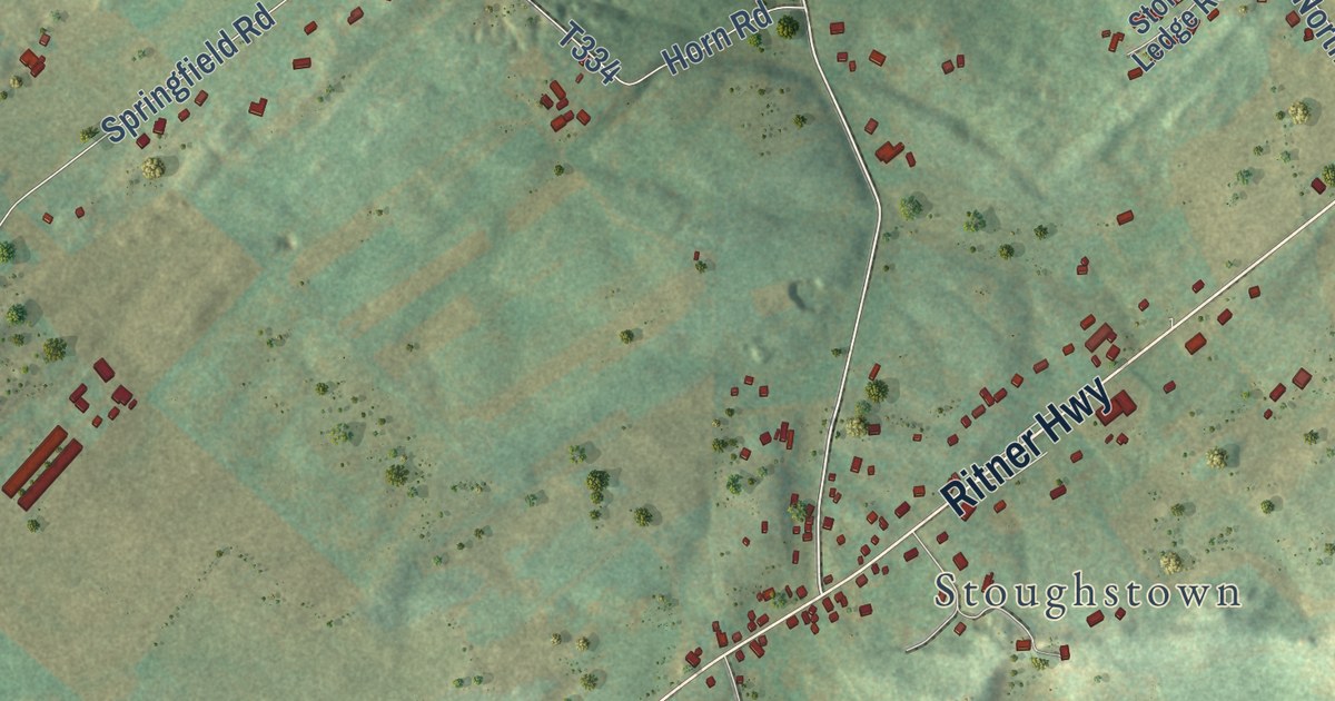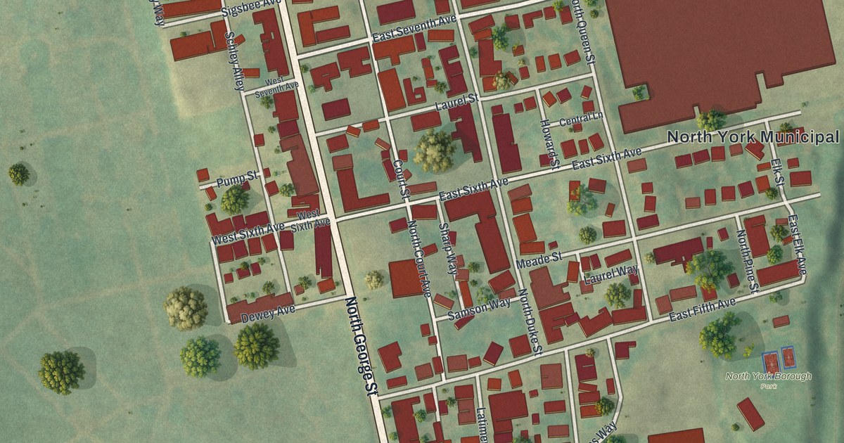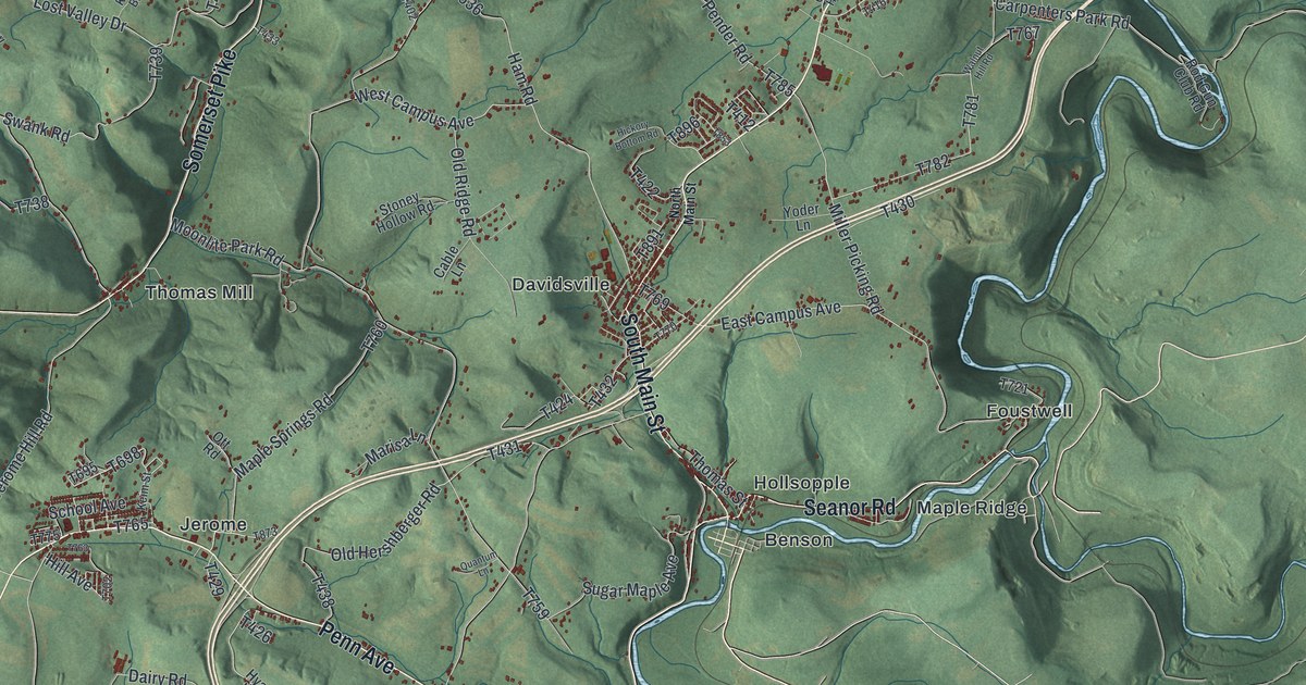
This beautifully detailed map of Conemaugh, Somerset County, Pennsylvania was created in 2026 using aerial imagery combined with modern topographical, census, street and landmark data. It’s a one-of-a-kind view of Conemaugh that combines accurate data with a vintage aesthetic. The map shows every building in its true location, many of the roads carry their names, and the shaded topographic relief shows the shape of the land.
Explore an aerial view of Conemaugh, Somerset County, Pennsylvania
On the map you’ll find Laurel Ridge State Park, Benson, Davidsville, Foustwell, Hollsopple, Jerome, Krings, Maple Ridge, Thomas Mill, and Tire Hill, along with Somerset Pike, Tire Hill Road, and more. If you look closely you can even find your house accurately drawn in its correct location. Zoom in on the preview to look for yours.
Take a closer look at the Conemaugh, Somerset County map
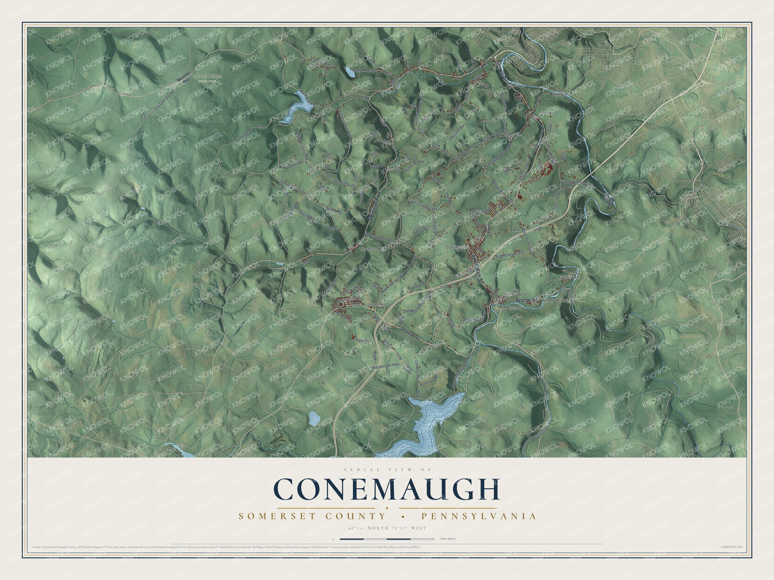
Street and place names on the Conemaugh, Somerset County, Pennsylvania map
These names are printed on the map of Conemaugh, Somerset County, Pennsylvania.
Places: Laurel Ridge State Park, Benson, Davidsville, Foustwell, Hollsopple, Jerome, Krings, Maple Ridge, Thomas Mill and Tire Hill.
Streets and roads: Somerset Pike, Tire Hill Road, Penn Avenue, Seanor Road, South Main Street, Gas Line Dirt Road, Wingard Road, Country Club Road, Old Tirehill Road, Hidden Valley Road, Carpenters Park Road, Covered Bridge Road.
More street names, A to Z
Alma Lane, Angle Lane, Blackner Road, Blough Road, Cabin Road, Cable Lane, Dairy Road, Dalton Run Road, Dickey Hill Road, Dream Road, East Campus Avenue, Faith Lane, Fallen Oak Road, Farm Lane, Fender Lane, Franklin Road, Glessner Road, Govier Lane, Ham Road, Hemlock Road, Hickory Bottom Road, Hill Avenue, Hunting Trail, Hyasota Hill Road, Jerome Hill Road, Keafer Hill Road, Keim Street, Kohler Boulevard, Kokomo Lane, Kring Street, Lehman Lane, Lemons Road, Ligonier Pike, Lost Valley Drive, Maple Springs Road, Marack Lane, Marisa Lane, Meader Lane, Menoher Highway, Miller Picking Road, Moonlite Park Road, Moonshine Hollow Road, Nitch Lane, Northfork Road, North Main Street, North Red Drive, Old Hershberger Road, Old Ridge Road, Old Tire Hill Road, Ott Road, Palomino Road, Pender Road, Pine Drive, Quantum Lane, Quemahoning Dam Road, Rod Gun Club Road, Rosa Lane, Saylor School Road, School Avenue, Shroyer Lane, Soap Hollow Road, Spory Road, Spring Lane, Stoney Hollow Road, Sugar Maple Avenue, Swank Road, T-420, T-889, Thomas Street, Walnut Hill Road, West Campus Avenue, Woodstown Highway, Yoder Lane.
See the Conemaugh, Somerset County, Pennsylvania map on a wall
The Conemaugh, Somerset County map as an 18 x 24 inch print in a black frame.

This beautifully detailed map of Conemaugh, Somerset County makes an attractive addition to your office, library, or den, and it can even be used to teach children the geography and history of the area. It also makes a great gift for anyone with Conemaugh roots. When you’re done exploring, click here to get your copy of the Conemaugh, Somerset County map.