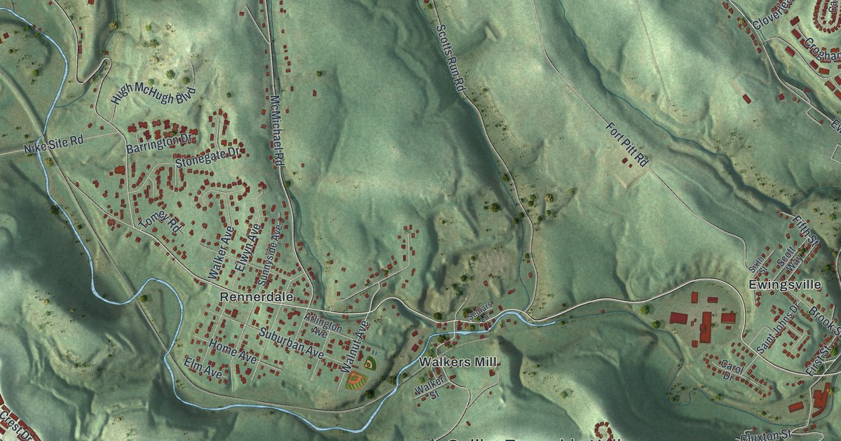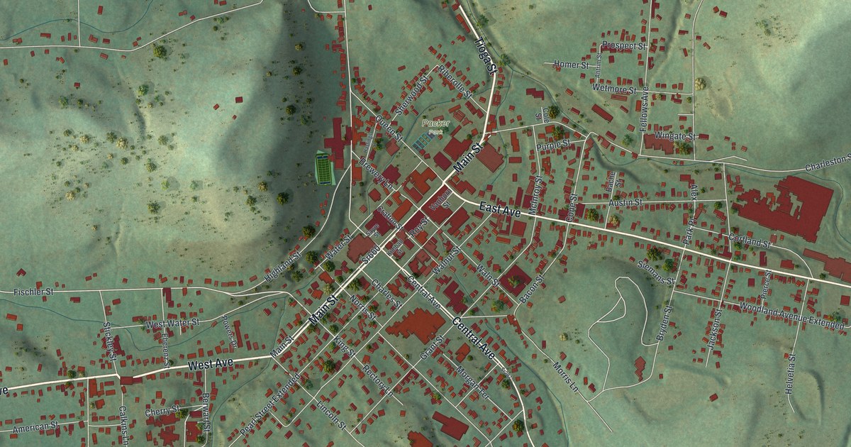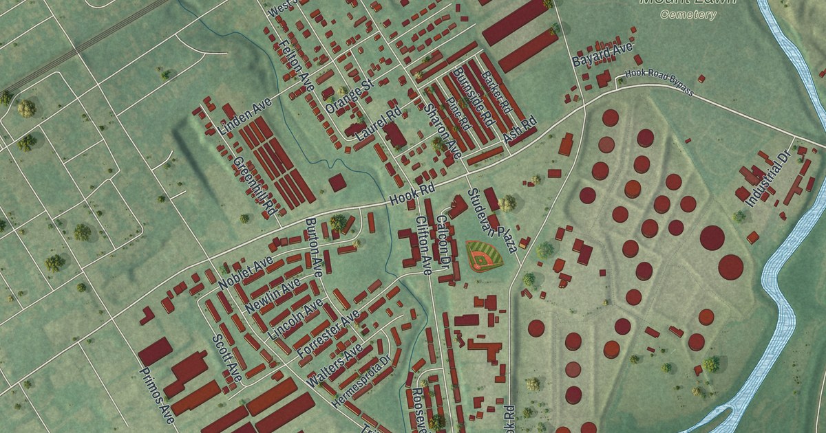
If you grew up off Hook Road or near Llanwellyn, or you still have family in Darby Township, this map shows the streets you know. It's a modern aerial view of Darby Township in Delaware County, Pennsylvania, made from modern data and given a vintage look. The low hills are shaded in soft green, and each building inside the township is marked in red. Those red buildings sit in two separate patches, one near the top left and one near the bottom right. Macdade Boulevard runs on a long slant across the sheet between them. Explore the print options for Darby, Delaware County.
Hook Road, Llanwellyn and the turkeys of Calcon Hook
Start at Mount Lawn Cemetery, on the right side of the map. Calcon Hook Road runs north and south past it, and Bayard Avenue meets it beside the cemetery. Follow Calcon Hook Road down to Hook Road and turn west. Along the way, Hook Road meets Sharon Avenue, Clifton Avenue and Noblet Avenue. Tribbett Avenue curves along the bottom of this patch, with Walters Avenue and Hermesprota Drive just off it. Near Calcon Hook Road you'll spot a field of round red shapes. Now jump to the top left. Secane is printed there, and Llanwellyn sits just below it. Stratford Road and Park Drive wind through the curved streets around Llanwellyn. Just above them, Mount Jacob Cemetery sits near Bartram Avenue, and Mount Lebanon Cemetery is printed toward the top center. A creek runs down the right side of the sheet into a wide stretch of water, though neither one is labeled. Many roads are named, and each red shape is a building, so zoom in on the preview and look for yours.
The Calcon Hook name goes back to the Swedish settlers. The 1884 History of Delaware County, Pennsylvania says it comes from the Swedish word kalkon, which means turkey. Wild turkeys were said to be plentiful there. In 1668, a patent gave the Calcon Hook land to four men: Israel Helme, Hendrick Jacobson, Ole Kock and Jan Minsterman.
The road came later, and it started with a quarrel. At a court held on October 3, 1691, people complained about the way to the landing at Calcon Hook. The neighbors couldn't agree on it. So the court told a grand jury to lay out a road. Their report begins at a corner stone near an ash tree by the creek, at the bottom of Morton Mortonson's orchard. Morton's house had gone up before anyone agreed on the road. It stood about six feet into the road's path, and the jury made an exception for it.
On the print, the road still carries the Calcon Hook name as it runs past Mount Lawn Cemetery. The same history says the Sharon Land Association, formed by an act of the Assembly on March 4, 1871, owned land on the old Calcon Hook tract. Look for Sharon Avenue where it meets Hook Road.
A Darby Township map from Secane to Mount Lawn
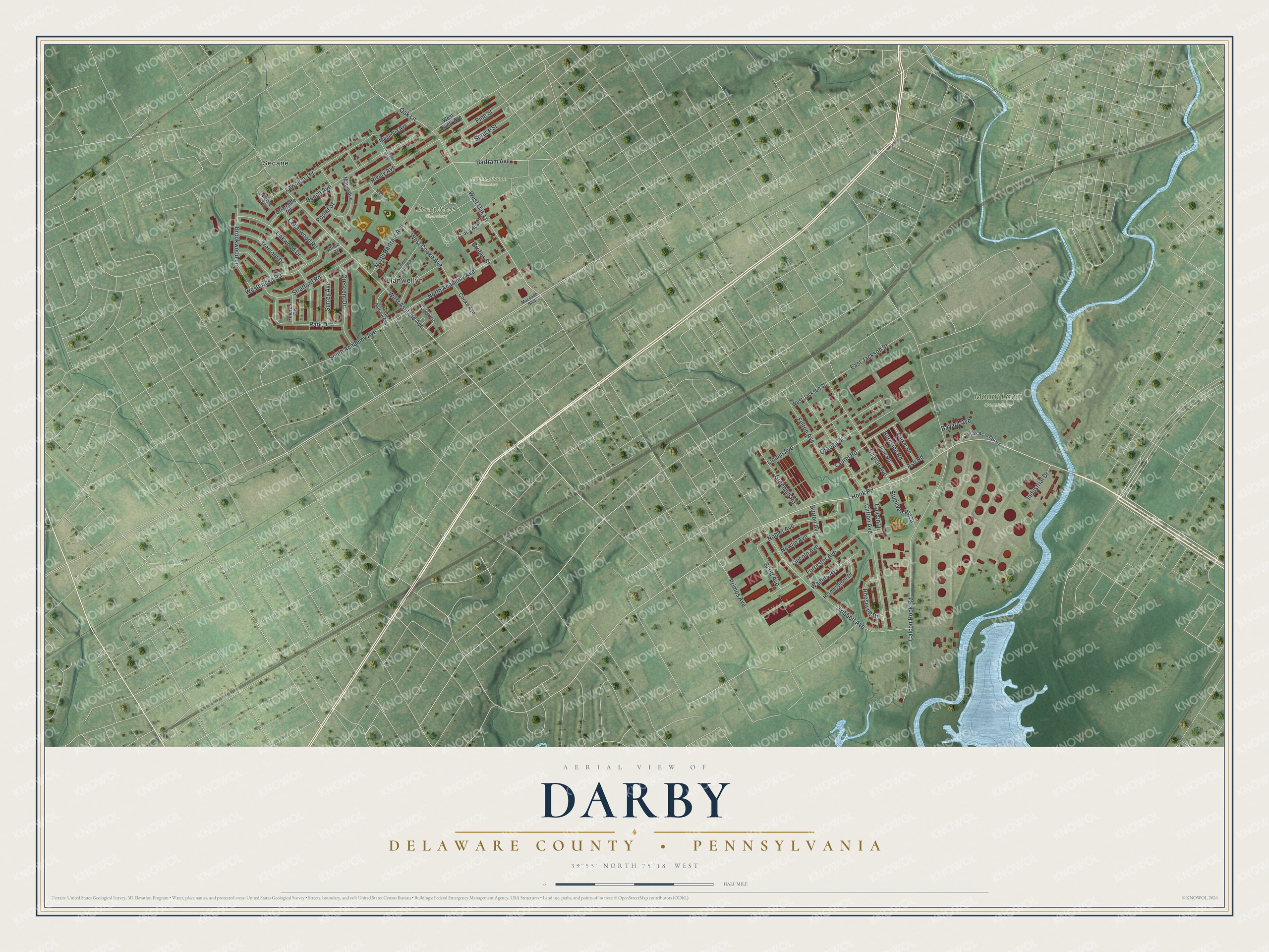
Created by KNOWOL in 2026, this map of Darby Township shades the ground in soft green and marks buildings in deep red. The hill shading comes from USGS elevation data, and the streets come from the Census Bureau. The title panel reads "Aerial View of Darby" over "Delaware County, Pennsylvania." Below that are the coordinates 39°55' North, 75°18' West and a half-mile scale bar.
It fits well in a kitchen, a den or a home office. It's a good gift for someone who grew up in Darby Township and moved away, or for family who still live near Hook Road or Llanwellyn. Open the watermarked preview and trace a road you know. Shop the Darby, Delaware County, Pennsylvania map.