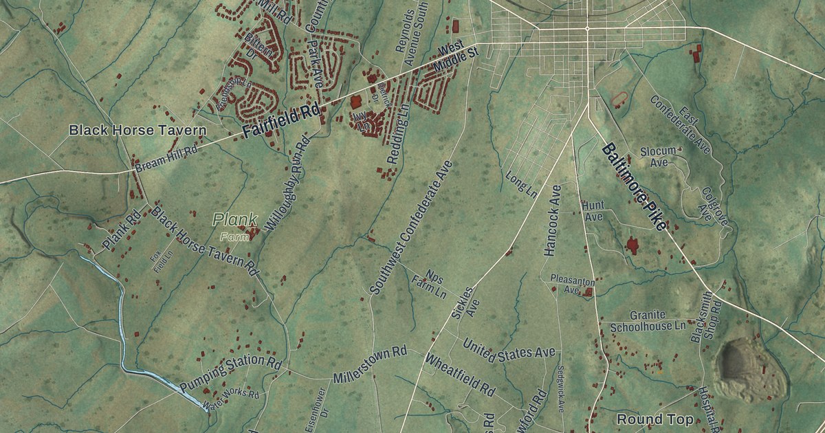
If you grew up out on Emmitsburg Road, have family near Greenmount, or drive Taneytown Road past Round Top, this map has plenty for you to find. It's a modern aerial view of Cumberland Township in Adams County, Pennsylvania, built from modern data and given a vintage artistic feel. Cumberland Township surrounds Gettysburg on three sides. The borough's small street grid sits in the middle of the sheet, though it isn't labeled. Green shaded hills fill the rest, with more than 10,000 buildings drawn in red. Barlow Knoll, Stremmels, Black Horse Tavern, Round Top and Greenmount are all named. Explore the print options for Cumberland, Adams County.
Black Horse Tavern, Round Top and Greenmount
Start at the Gettysburg grid in the middle of the map. Chambersburg Road heads northwest out of town, past Stremmels and the homes off Country Club Lane and Knoxlyn Road. Just below it, Fairfield Road runs west to Black Horse Tavern. A state marker near Bream Hill Road says the Confederate army started its retreat down Fairfield Road on July 4, 1863. Turn south at Black Horse Tavern Road. It passes Plank Farm and crosses Pumping Station Road. Now go back to town and follow Emmitsburg Road southwest. It crosses Wheatfield Road and Millerstown Road, then runs down to Greenmount near the bottom. Taneytown Road heads south just east of it, past Round Top and Sedgwick. Sickles Avenue and South Confederate Avenue are printed between the two. Up top, Barlow Knoll sits beside Howard Avenue, north of town. Many of the roads are labeled, and each red shape is a building, so zoom in on the preview and look for yours.
Marsh Creek runs down the west side of the township, though the creek isn't labeled on the map. An 1886 history of Adams County lists the township's early bridges, and several of them cross Marsh Creek. In 1809 William McClellan built a stone bridge there with five arches, at Bream's tavern. In 1852 David S. Stoner built a wooden bridge over Marsh Creek. That's the one now called Sachs Covered Bridge, according to a state historical marker. It stretches 100 feet across the creek. Both Union and Confederate troops used it in 1863. Cars were kept off it after 1968. A flood damaged it in 1996, and Adams County restored it as a scenic bridge. Not every bridge lasted. In the winter of 1885 to 1886, an iron bridge going up at Hoffman's was swept away, and a man named Herring drowned.
The covered bridge isn't labeled on the map, but you can find its spot. Follow Pumping Station Road to the corner where Water Works Road meets it, west of Emmitsburg Road. The marker stands at that corner, and the bridge is just southeast on the crossing road. Look for the thin blue line of the creek close by. The Bream name still shows up in Bream Hill Road, printed beside Black Horse Tavern.
For someone who knows Emmitsburg Road or Barlow Knoll
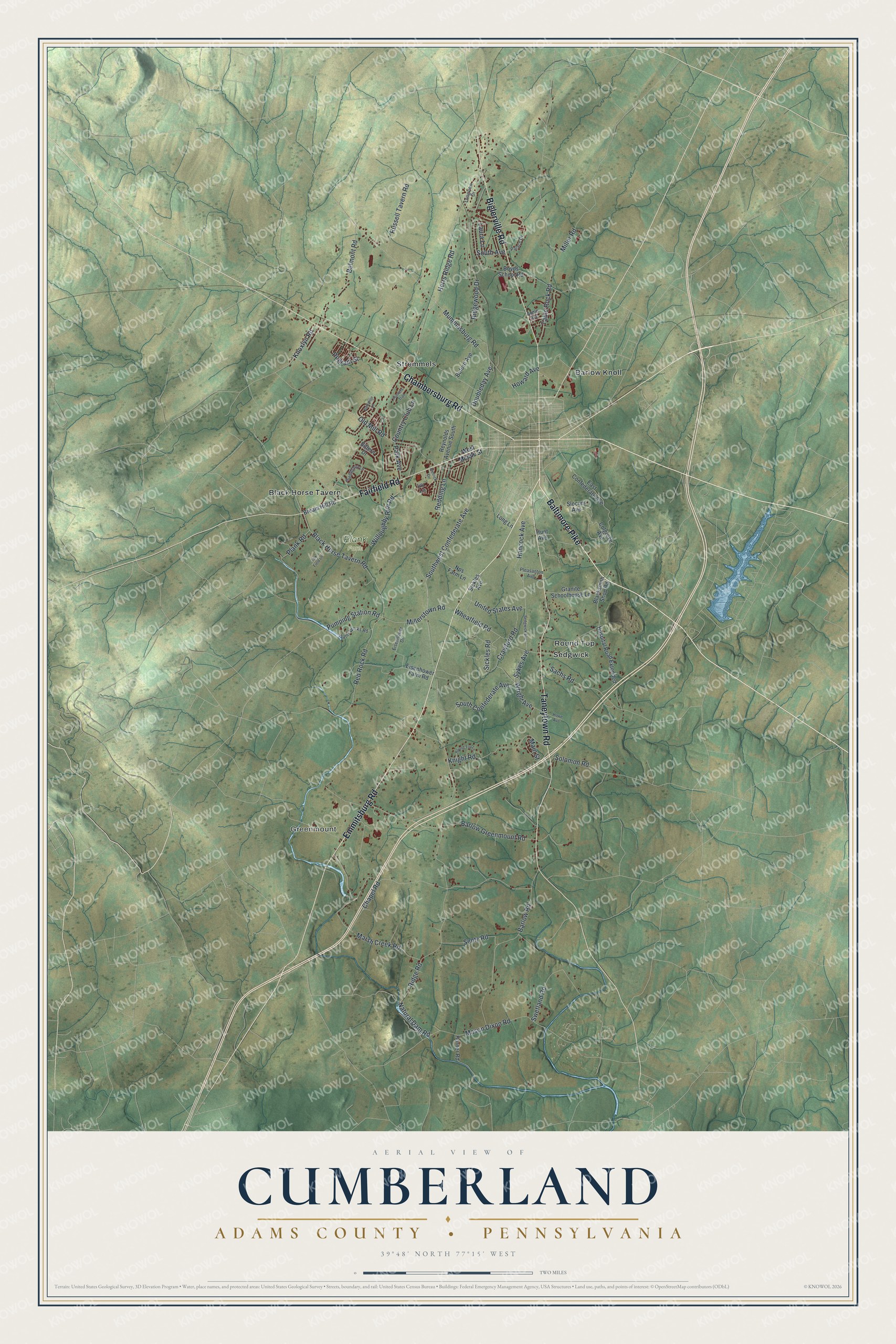
Created by KNOWOL in 2026, this Cumberland Township map fits an office, a den or a family room. The hills are shaded in soft greens from USGS elevation data, and the buildings stand out in dark red. The title panel reads "Aerial View of Cumberland" over "Adams County • Pennsylvania," with the coordinates 39°48' North 77°15' West and a two-mile scale bar.
It's a good gift for someone who grew up near Greenmount or Barlow Knoll, anyone with family out on Mason Dixon Road, or a friend who moved away from Adams County. Open the preview, zoom in and follow Taneytown Road to the roads you know. Shop the Cumberland, Adams County, Pennsylvania map.