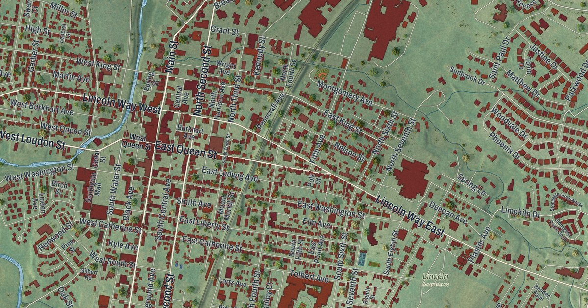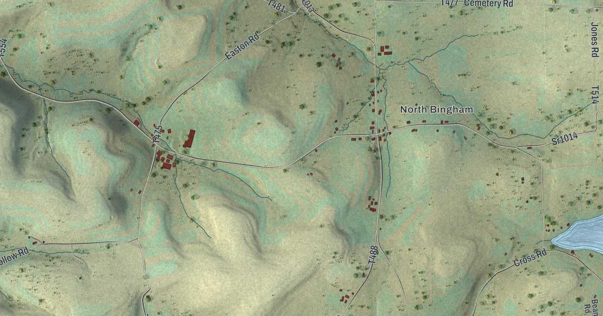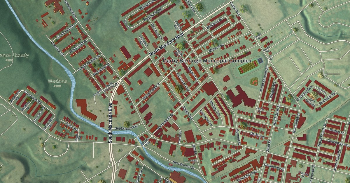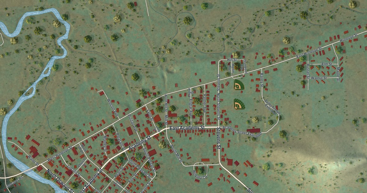
If you grew up in Shinglehouse or still have family here, this map puts the town and the hills around it on one sheet. It's a modern aerial view of Shinglehouse in Potter County, Pennsylvania, made from modern data and given a vintage look. A creek winds in from the left side and bends south past the west end of town. Red buildings crowd along Honeoye Street and Academy Street, and shaded green hills rise on every side. Explore the print options for Shinglehouse.
Honeoye Street, Academy Street and Maple Grove Cemetery
Start at the west end of Honeoye Street, where it meets Oswayo Street and Lincoln Street near the creek. Now follow Honeoye Street east. Puritan Avenue, Mill Street, Union Street and Pleasant Street all run down from it to Academy Street, one block south. Keep going east past Bailey Street. The houses thin out as the road heads toward the top right corner. Near that end, Maple Street and Russel Street make a small grid with Walnut Street and Elm Street.
Back in the middle of town, take Stevens Street south. It crosses Academy Street and heads for Oswayo Street near the bottom of the sheet. Oswayo Street passes Maple Grove Cemetery, which is named on the map, with Sunnyside Road and Nichols Street beside it. On the west side, Ceres Street comes in from the left edge. Horse Run Road leaves it and runs north to Park Avenue, which runs east to Karr Hollow Road. The creek isn't labeled, but you can follow its blue bends all the way down. Many of the roads are named, and each red shape is a building, so zoom in on the preview and look for yours.
The 1890 history of Potter County has short life stories of people from this corner of the county. One is Charles H. Cole. He started out teaching school. In 1879 he went to work as a clerk in George W. Dodge's store in Shinglehouse, and he stayed four years. Then he and Dodge became partners in the hardware trade in town. By 1890 Cole was a county commissioner, a justice of the peace and a lumberman. A farmer in the same book, George M. Brightman, gave Shinglehouse as his post office. The map doesn't mark the store. Today the buildings sit closest together along Academy Street and Honeoye Street, in the middle of the sheet.
For someone who knows Academy Street
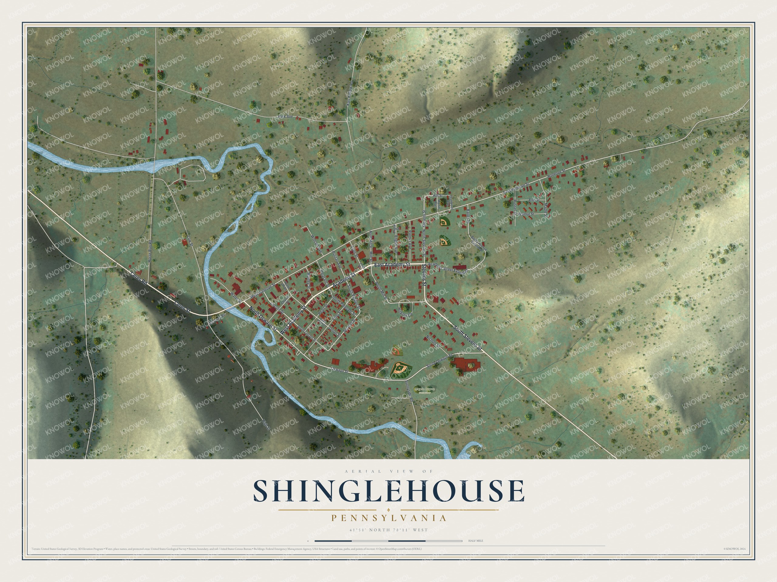
Created by KNOWOL in 2026, this Shinglehouse map suits a kitchen, a den or a camp wall. The shaded hills come from USGS elevation data, and more than 700 buildings are drawn in red. The title panel reads "Aerial View of Shinglehouse, Pennsylvania," with 41°58' North, 78°11' West and a half-mile scale bar.
It's a good gift for someone who grew up here and moved away, or for a family with roots in town. Open the watermarked preview, find Honeoye Street, and follow it to a house you know. Shop the Shinglehouse, Pennsylvania map.