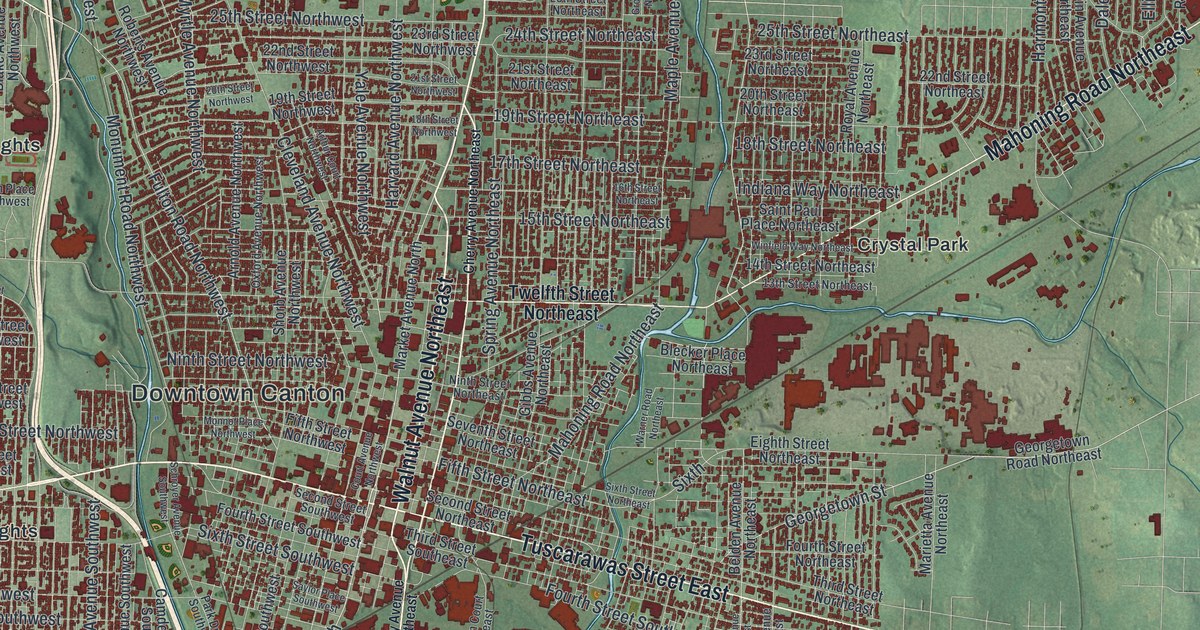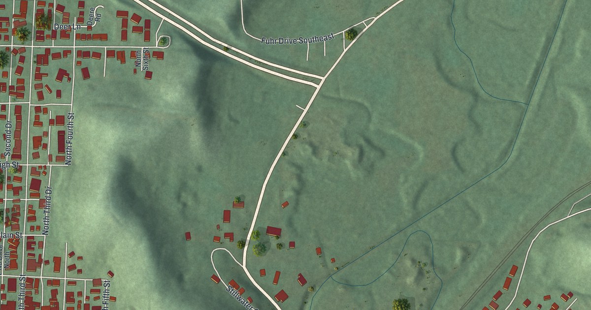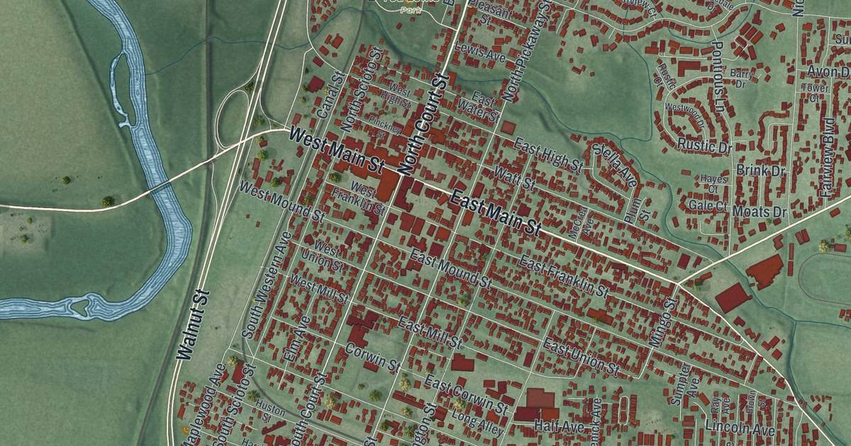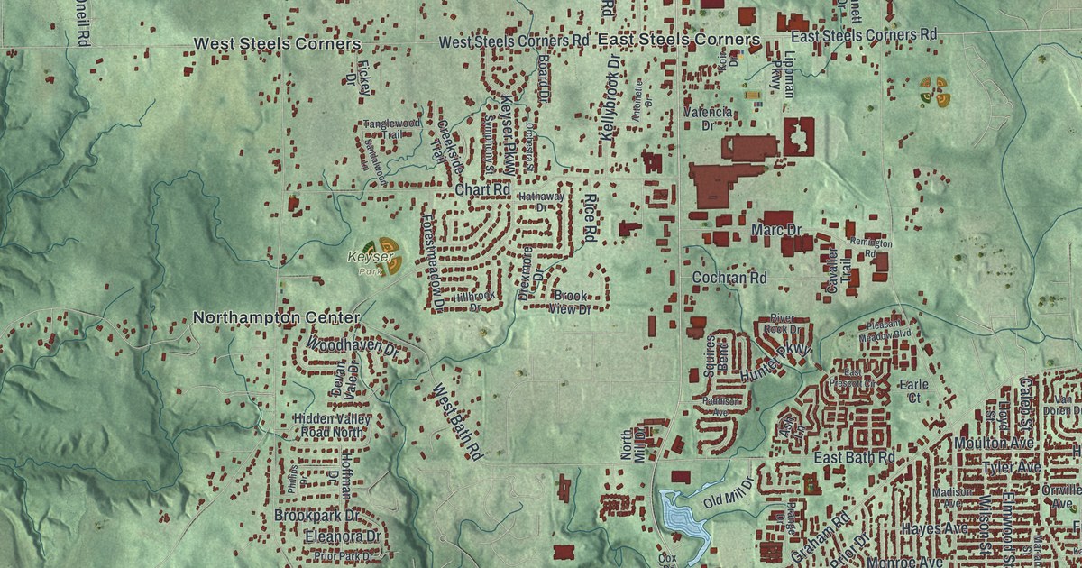
If you grew up in Cuyahoga Falls, went to school here, or still have family near State Road or Front Street, this map has plenty for you to find. It's a modern aerial view of Cuyahoga Falls in Summit County, Ohio, built from modern data and given a vintage look. The city fills the lower right of the sheet in dark red, with more than 40,000 buildings drawn. Soft green hills spread out around it. At the top left, the Cuyahoga Valley National Park label sits over a deep, wooded valley. The river and the lakes aren't labeled, but their pale blue shapes are easy to spot. Explore the print options for Cuyahoga Falls.
Front Street, Portage Trail and Riverview Road
Start at the Cuyahoga Falls Municipal Building label, in the thick of the red blocks. Portage Trail runs east past it and meets Front Street near the river. Follow Front Street south. Broad Boulevard and Sackett Avenue come in from the west. Farther east, Bailey Road heads south to Munroe Falls Avenue, which runs past Kennedy Park. Now go back to Portage Trail and head west to State Road. Take State Road north past Chart Road to East Steels Corners. West Steels Corners sits a little way west, on Northampton Road. Keep heading west and the land drops into the valley. Down there, Riverview Road runs past Botzum and Ira. Many of the roads are labeled, and each dark red shape is a building, so zoom in on the preview and look for yours.
In 1879, two hardware store owners, L.W. Loomis and H.E. Parks, opened a summer resort at Front Street and Prospect Avenue. They called it High Bridge Glens and Caves. It spread across both sides of the Cuyahoga River. There was a pavilion for dancing and dinner. There were trails and lookouts, waterfalls, deep caves and a footbridge hung over the water. A state historical marker says the park may have had one of the first roller coasters in the area. When it was most popular, more than 8,000 people came each day. One of them was William McKinley, then a congressman and later president.
The old resort isn't on the map, and Prospect Avenue isn't labeled. Front Street is, though. Find the Municipal Building label, then look just south and east of it, where Front Street runs beside the river. That's where the marker stands today, in High Bridge Glens Park. A little farther south on Front Street is the Falls Stamping and Welding Building. It was built in 1928, and the National Register lists it for its part in the city's factory history.
For anyone who knows Front Street and State Road
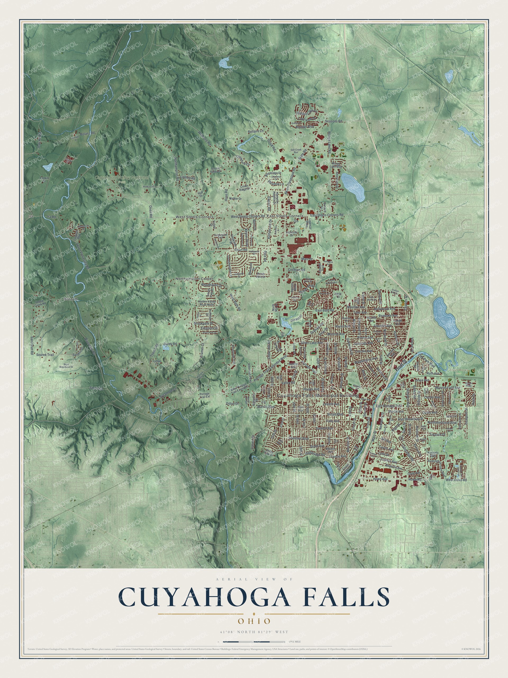
Created by KNOWOL in 2026, the Cuyahoga Falls print sets the city in deep red against green shaded hills. The shading comes from USGS elevation data, and the streets come from Census Bureau records. The title panel says "Aerial View of Cuyahoga Falls, Ohio," with 41°08' North 81°29' West and a one-mile scale bar.
It fits a front hall, a home office or a family room. Give it to someone who grew up in Cuyahoga Falls and lives far away now, or to a family that's been near State Road for years. Open the preview, find Front Street by the river and trace your way home from there. Shop the Cuyahoga Falls, Ohio map.