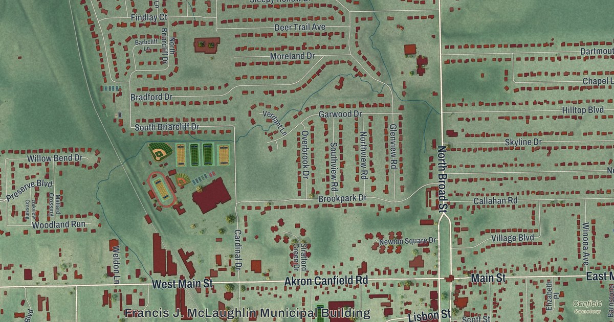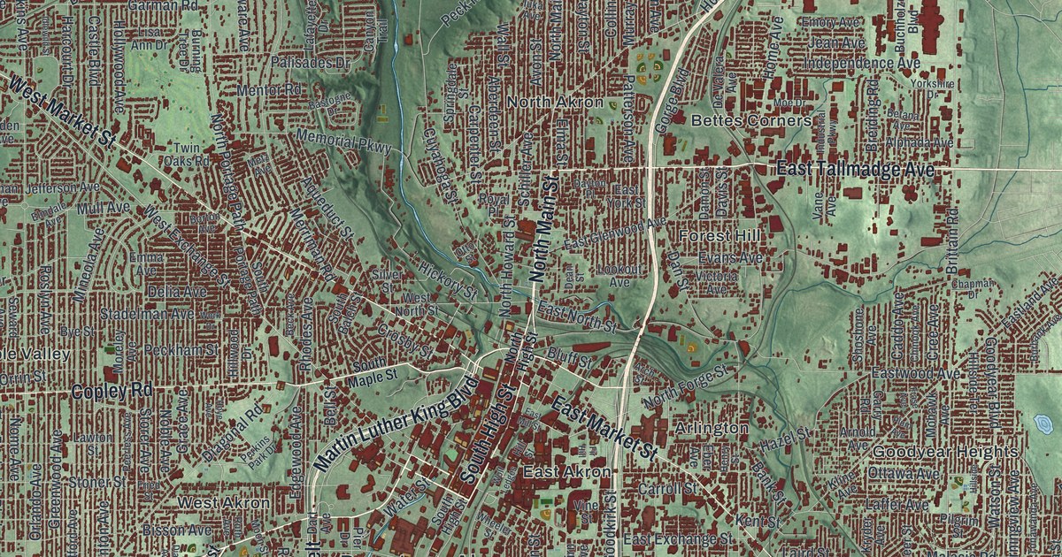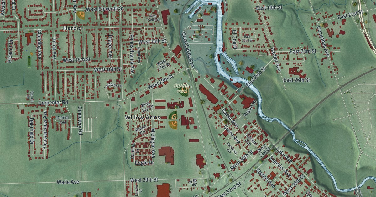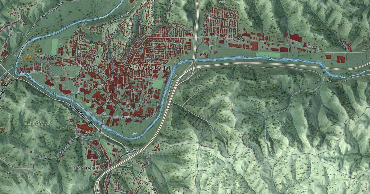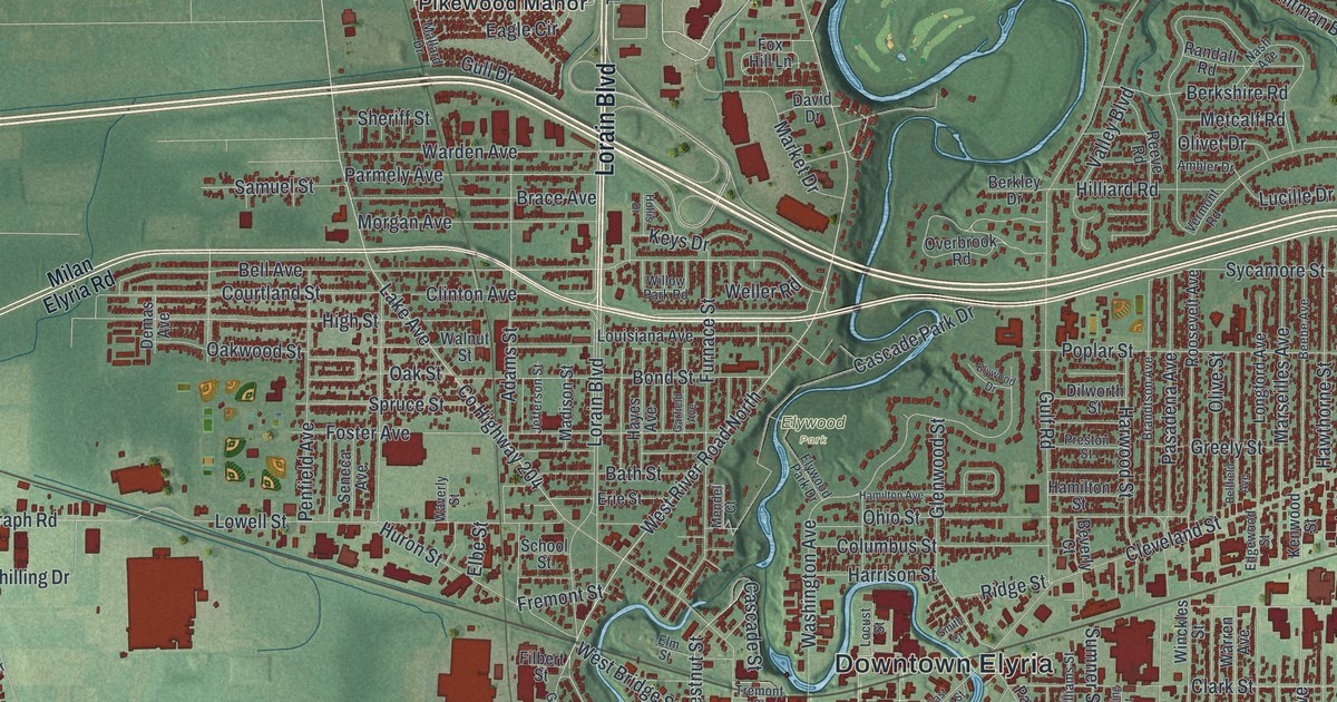
If you grew up in Elyria, or you still have family on these streets, there's plenty here to find. It's a modern aerial view of Elyria in Lorain County, Ohio, drawn from modern data with a vintage artistic feel. Heman Ely founded Elyria in 1817, and it became the county seat in 1823. On the map, about 35,000 buildings are drawn in deep red on soft green land. A blue river winds down the middle and splits right by Downtown Elyria. Named neighborhoods run from Pikewood Manor, north of downtown, down to Colonial Oaks in the south. Explore the print options for Elyria.
Downtown Elyria, Middle Avenue and Lorain Boulevard
Start at the Downtown Elyria label in the middle of the sheet. The river isn't labeled, but you'll see its two branches come together just west of downtown. Just above the label, Elywood Park sits along Washington Avenue and Cascade Park Drive. Now follow Middle Avenue south. East Avenue and West Avenue run beside it, and the numbered streets cross all three. Keep going past 16th Street and Fuller Road, and you'll reach Colonial Oaks near the bottom. Back downtown, Lorain Boulevard heads north. North of downtown, Pikewood Manor sits just west of it, by Leona Street. Out west, Murray Ridge Road runs down to West Ridge Green and Twin Lakes Homes on Albrecht Road. Many roads are labeled, and each red shape is a building, so zoom in on the preview and look for yours.
On Memorial Day in 1907, two interurban cars crashed at Fifth Street and Middle Avenue. Car 123 hit the back of car 129. Eight passengers died. One was Homer Allen, the son of Elyria businessman Edgar F. Allen. The town's hospital care was poor, and that's believed to have cost some lives. So Allen started raising money. Elyria Memorial Hospital opened in 1908. Gates Hospital opened in 1915. It was the first in the country just for children with physical disabilities. In 1919 Allen founded the Ohio Society for Crippled Children. That work grew into Easter Seals. Ohio historical markers around Elyria tell the story.
You can follow it on the map. Find Middle Avenue south of downtown, then look for Fifth Street where it crosses. That's where the crash happened. The society itself started at Gates Memorial Hospital on East River Street. Allen is buried in Ridgelawn Cemetery, near the corner of Cleveland Street and Ridge Street. The hospital and the cemetery aren't labeled, but those roads are printed on the map.
For someone who knows Middle Avenue and Cleveland Street
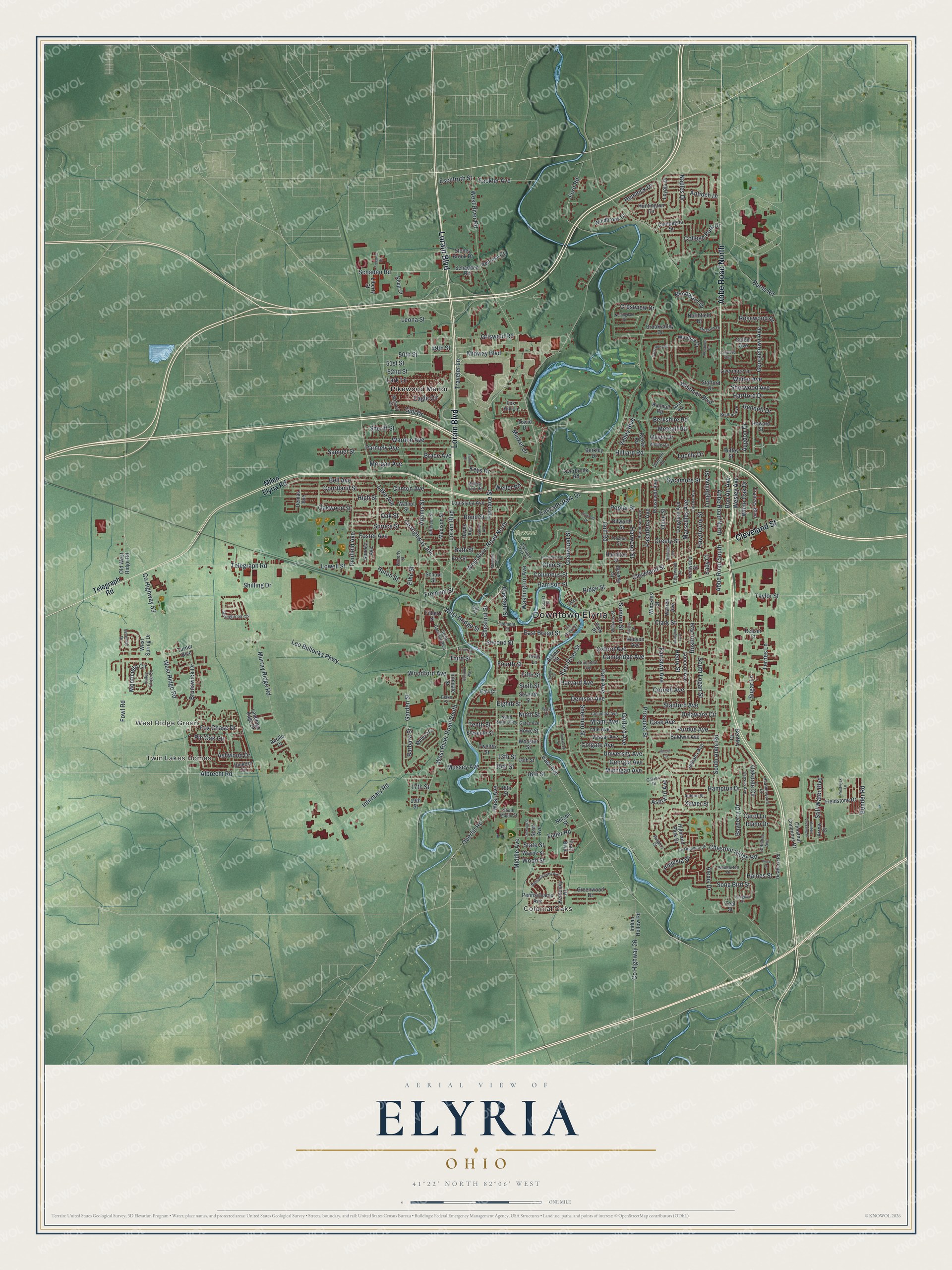
Created by KNOWOL in 2026, this Elyria print shows the city in deep red on green shaded land. The shading comes from USGS elevation data, and the streets come from Census Bureau records. The river valley shows up clearly as it winds through town. The title panel reads "Aerial View of Elyria, Ohio," with 41°22' North 82°06' West and a one-mile scale bar.
It fits a home office, a den or a family room. It's a good gift for someone who grew up in Elyria and moved away, or for someone who took classes at Lorain County Community College. Open the preview, find Middle Avenue and follow it to a street you know. Shop the Elyria, Ohio map.