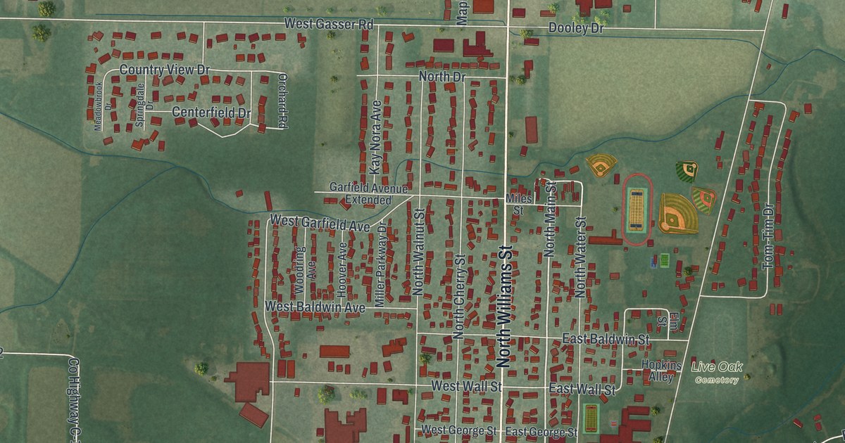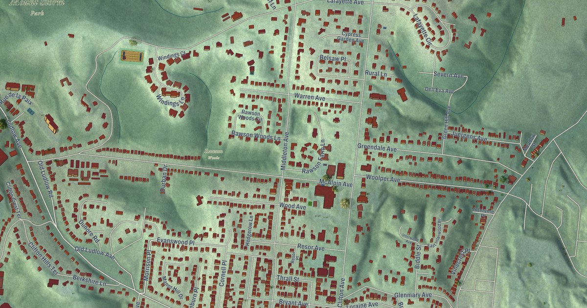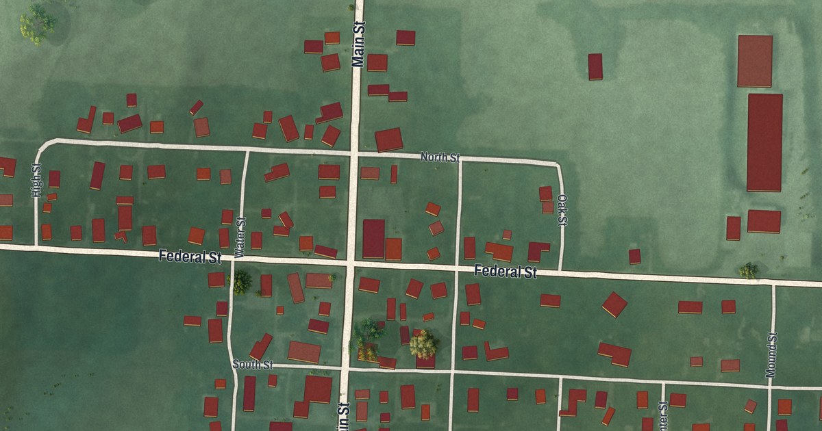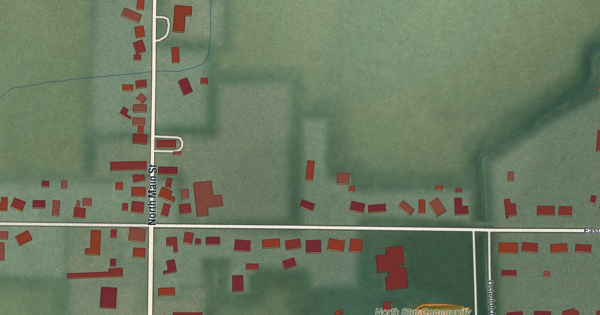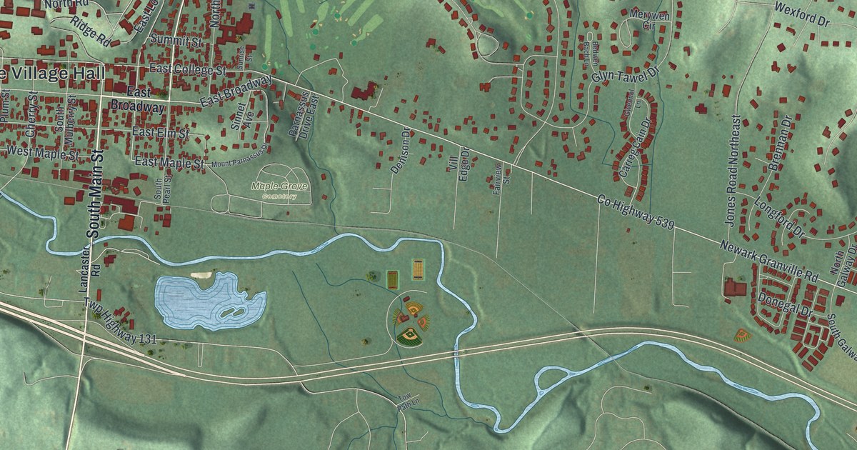
This beautifully detailed map of Granville, Ohio was created in 2026 using aerial imagery combined with modern topographical, census, street and landmark data. It’s a one-of-a-kind view of Granville that combines accurate data with a vintage aesthetic. The map shows every building in its true location, many of the roads carry their names, and the shaded topographic relief shows the shape of the land.
Explore an aerial view of Granville, Ohio
On the map you’ll find Granville Village Hall, Denison University Biological Preserve, Maple Grove Cemetery, and East Broadway, along with South Main Street, North Pearl Street, North Street, County Highway 539, Cherry Valley Road Southeast, East College Street, North Road, East Maple Street, and more. If you look closely you can even find your house accurately drawn in its correct location. Zoom in on the preview to look for yours.
Did you know this piece of Granville, Ohio history?
John Jones, a Welshman born in New Jersey, built the first house here in 1801. The first large group of settlers came from Granville, Massachusetts, and named the new village after their old home. Other Welsh families followed and left their heritage in many local place names.
Take a closer look at the Granville map
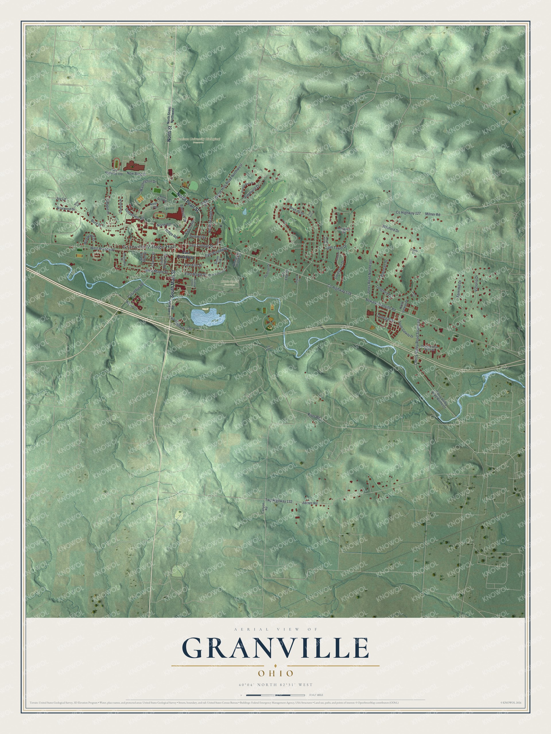
Street and place names on the Granville, Ohio map
These names are printed on the map of Granville, Ohio.
Places: Granville Village Hall, Denison University Biological Preserve and Maple Grove Cemetery.
Streets and roads: South Main Street, North Pearl Street, North Street, County Highway 539, Cherry Valley Road Southeast, East College Street, East Broadway, North Road, East Maple Street, Columbus Road, West Broadway, Cherry Street.
More street names, A to Z
Bancroft Drive, Bedwen Bach Lane, Brennan Drive, Briarwood Drive, Bryn du Drive, Burg Street, Canyon Road, Carreg Cain Drive, Cedar Street, Chapin Place, Cherry Valley Road Northeast, County Highway 127, Denison Drive, Donald Ross Drive, Donegal Drive, East Elm Street, East Loop, Fairview Street, Fern Hill Drive, Glyn Tawel Drive, Gwennol Lane, James Road, Jones Road Northeast, Joy Lane, Kerry Court, Lancaster Road, Longford Drive, Merywen Circle, Miller Avenue, Milner Road, Mount Parnassus Drive, Newark Granville Road, New Burg Street, North Galway Drive, North Granger Street, North Loop, North Quad Road, North Street Northwest, Parnassus Drive East, Pinehurst Drive, Ridge Road, River Road, Samson Place, Shepardson Court, Sinnet Avenue, South Galway Drive, South Mulberry Street, South Pearl Street, South Plum Street, Summit Street, Sunrise Street, Sunset Hill Road, Tow Path Lane, Trem Pell Lane, Trinity Court, Twp Highway 109, Twp Highway 131, Twp Highway 132, Victoria Drive, Vill Edge Drive, Washington Drive, Weaver Drive, Welsh Hills Road Northwest, Westgate Drive Northeast, West Maple Street, Wexford Drive, Wildwood Drive.
See the Granville, Ohio map on a wall
The Granville map as an 18 x 24 inch print in a black frame.

This beautifully detailed map of Granville makes an attractive addition to your office, library, or den, and it can even be used to teach children the geography and history of the area. It also makes a great gift for someone who left Granville and still calls it home. When you’re done exploring, click here to get your copy of the Granville map.