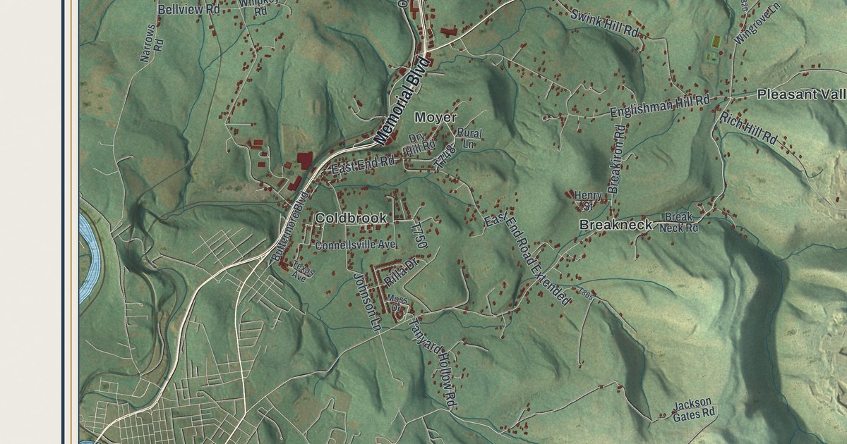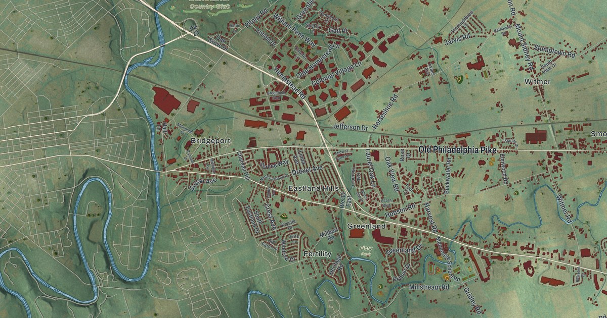
If you grew up in Bird in Hand, live off Old Philadelphia Pike, or have family near Smoketown or Soudersburg, this map has a lot of home on it. It's a modern aerial view of East Lampeter Township in Lancaster County, Pennsylvania, made from modern data and given a vintage feel. Old Philadelphia Pike runs straight across the middle of the sheet. Lincoln Highway East angles down toward Soudersburg in the lower right. More than 21,000 buildings are drawn in deep red on soft green farm country. On the left, the Conestoga winds past Bridgeport, though the river isn't labeled. Explore the print options for East Lampeter.
Old Philadelphia Pike from Bridgeport to Bird in Hand
Start at Bridgeport near the left edge, where Old Philadelphia Pike begins its run east. Greenfield Road drops south from the pike into Eastland Hills, and Greenland is printed just below that. Now follow the pike east. Horseshoe Road branches off to the north, and Mount Sidney Road leads up to the little village of Witmer. Keep going and you'll pass Smoketown, where Eastbrook Road heads south. Next comes Bird in Hand. From there, Lynwood Road runs south to Ronks. Up in the top left corner, New Holland Pike passes Zooks Corner and Hornig. Many of the roads are labeled, and each red shape is a building, so zoom in on the preview and look for yours.
Abraham Witmer's toll bridge at Bridgeport
The Witmer name goes back a long way here. Benjamin Witmer built the first part of Witmer's Tavern around 1725. He was the land agent for the London Land Company. The tavern, at 2014 Old Philadelphia Pike, is on the National Register, but it isn't labeled on the map. His family also backed a stone bridge over the Conestoga at Bridgeport. Abraham Witmer built it, and it was finished in 1800. It was a toll bridge. An 1883 history of Lancaster County copies the price list. A four-wheeled wagon paid one shilling and sixpence. A person on foot paid two pence. Every cow, sheep or pig cost a penny a head.
The same history tells a story people in Lampeter still told back then. Young Quakers liked to gallop across the bridge without paying. When the bridge keeper tried to stop them, they'd say, "I don't think thee can do it, my friend." The tolls ended in 1827. People raised the money on their own, and the Witmer family handed the bridge to the county for twenty-six thousand dollars. After that it was free to cross. The history also says the turnpike had two tollhouses in the township, one at Witmer's Bridge and one at Greenland. Find Greenland just south of Old Philadelphia Pike, then look left to the blue bends of the Conestoga beside Bridgeport.
For anyone who knows Bird in Hand and Smoketown
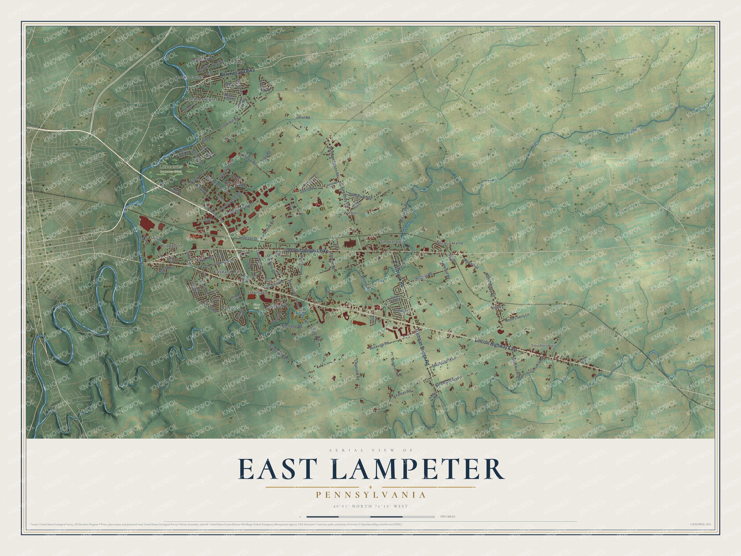
Created by KNOWOL in 2026, this East Lampeter map shows the township's farm fields in soft green, its creeks in blue and its buildings in deep red. The shaded hills come from USGS elevation data. The title panel reads "Aerial View of East Lampeter, Pennsylvania" with the coordinates 40°03' North, 76°13' West and a two-mile scale bar.
It suits a kitchen, a den or an office wall, anywhere someone can stop and trace the pike toward home. It's a thoughtful gift for someone who grew up in East Lampeter, moved away, or still has family near Ronks or Soudersburg. Open the preview, zoom in and find the road you know. Shop the East Lampeter, Pennsylvania map.