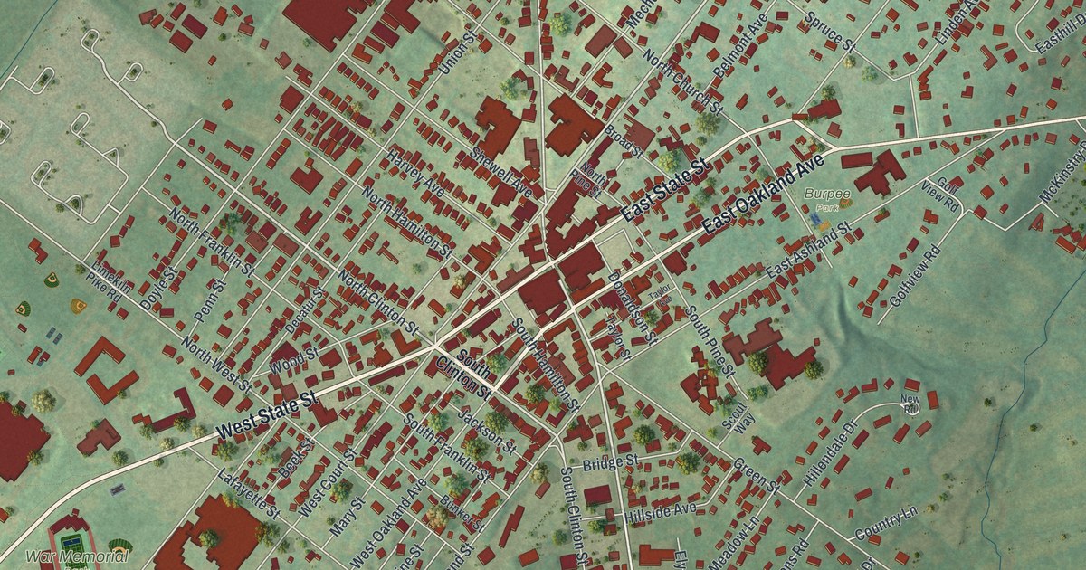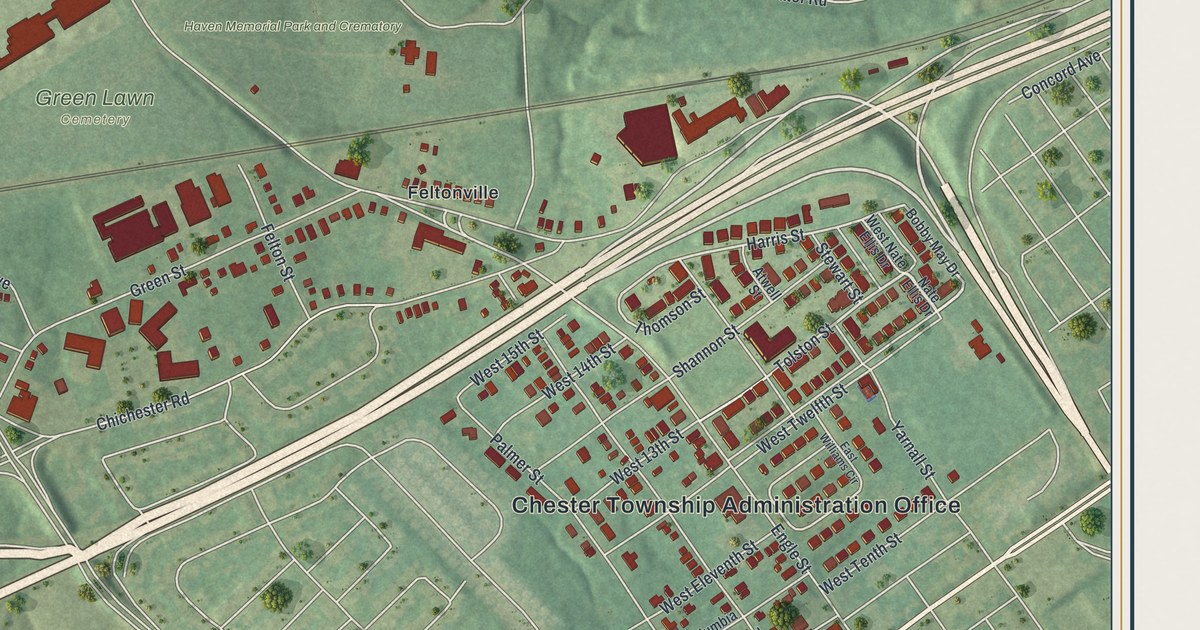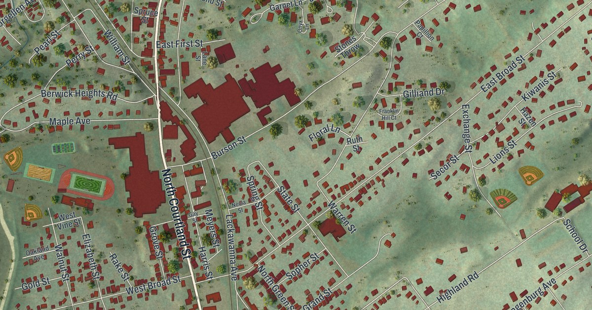
If you grew up in East Stroudsburg, or you still have family on streets like Analomink, Crystal or Washington, this map gives you a lot to find. It's a modern aerial view of East Stroudsburg in Monroe County, Pennsylvania, made from modern data and given a vintage look. More than 4,000 buildings are drawn in deep red over green, shaded hills. North Courtland Street runs up the middle of the sheet, and the Municipal Building, Prospect Cemetery and Gravel Place are all named. Explore the print options for East Stroudsburg.
North Courtland Street, Prospect Street and the Municipal Building
Start at the East Stroudsburg Municipal Building, labeled near the middle of the map. Analomink Street runs past it, and Crystal Street heads south from there to Washington Street. Just to the west, North Courtland Street runs up the sheet. South Courtland Street carries on down toward Brown Street. Now go back to the Municipal Building and follow Prospect Street south. It meets Normal Street and Greentree Drive, then reaches Prospect Cemetery near the bottom. Up at the top, Rte 447 crosses the sheet and Milford Road branches off to the upper right. Gravel Place sits in the top left corner. A creek curves down the left side and along the bottom, though it isn't labeled. Many of the roads are named, and each red shape is a building, so zoom in on the preview and look for yours.
How the railroad made East Stroudsburg a borough in 1870
The land under East Stroudsburg first belonged to Daniel Brodhead. It was 640 acres. A state marker on East Brown Street says he settled here around 1738 and started a town first called Dansbury. Look for Dansbury Terrace and Brodhead Avenue on the map. The town really grew after 1856, when the Delaware, Lackawanna and Western Railroad was finished. The first depot stood at the head of what's now Washington Street. Business grew so fast that a new depot and freight house went up in 1864. On May 23, 1870, the court made East Stroudsburg its own borough, split off from Stroud Township. The first election was held on June 11, 1870, at a public house called the Analomink House. That's how the History of Wayne, Pike, and Monroe Counties told it in 1886. By then about 2,000 people lived here. The town had a tannery, a brewery, a glass works and three hotels.
Crystal, Yetter and Teeter Streets and the early borough councils
The same 1886 book lists every borough council from 1871 to 1885. Many of those names are printed on this map as streets. Joseph M. Crystal, Milton Yetter and Henry Teeter all served on the 1875 council. J. B. Drake and R. J. Blair served in 1877. Thomas Stemples was burgess in 1878, and William Van Gorden sat on the council in 1879. Stephen Kistler built the Elk Horn Tannery here in 1869 and served on the council too. The book doesn't say the streets were named for these men. But you can find Crystal Street, Yetter Street, Teeter Street, Drake Street, Blair Court, Stemple Street, Van Gordon Street and North Kistler Street on the map.
For anyone who knows Washington Street and North Courtland Street
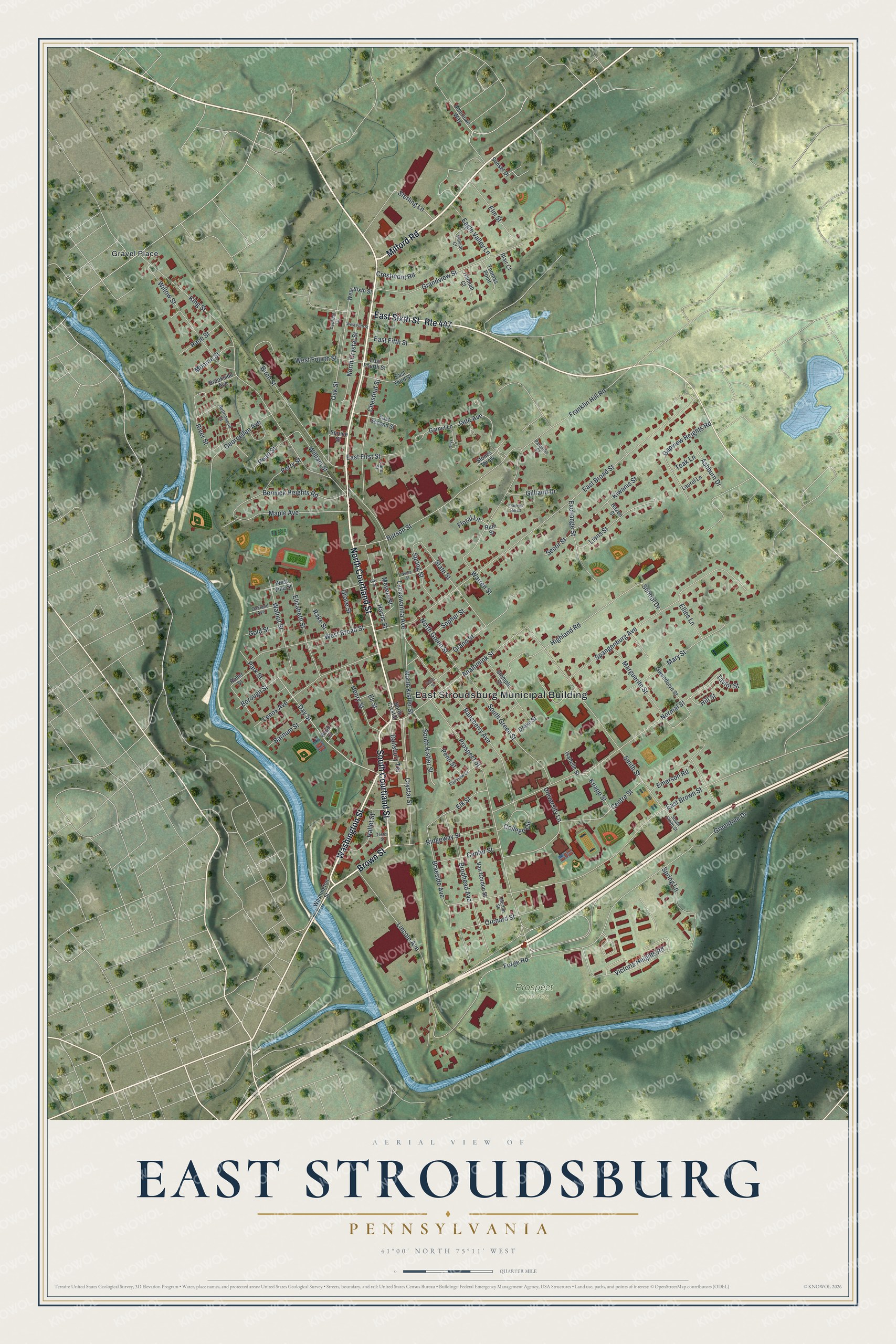
Created by KNOWOL in 2026, this East Stroudsburg map shows the borough's buildings in deep red on soft green hills, with the creek drawn in blue along the west and south edges. The shaded hills come from USGS elevation data. The title panel reads "Aerial View of East Stroudsburg, Pennsylvania," with the coordinates 41°00' North, 75°11' West and a quarter-mile scale bar.
It fits a kitchen, a den or an office wall. It's a good gift for someone who grew up here and moved away, or for a family that's lived near Washington Street for years. Open the preview, find the Municipal Building, and follow a street you know. Shop the East Stroudsburg, Pennsylvania map.