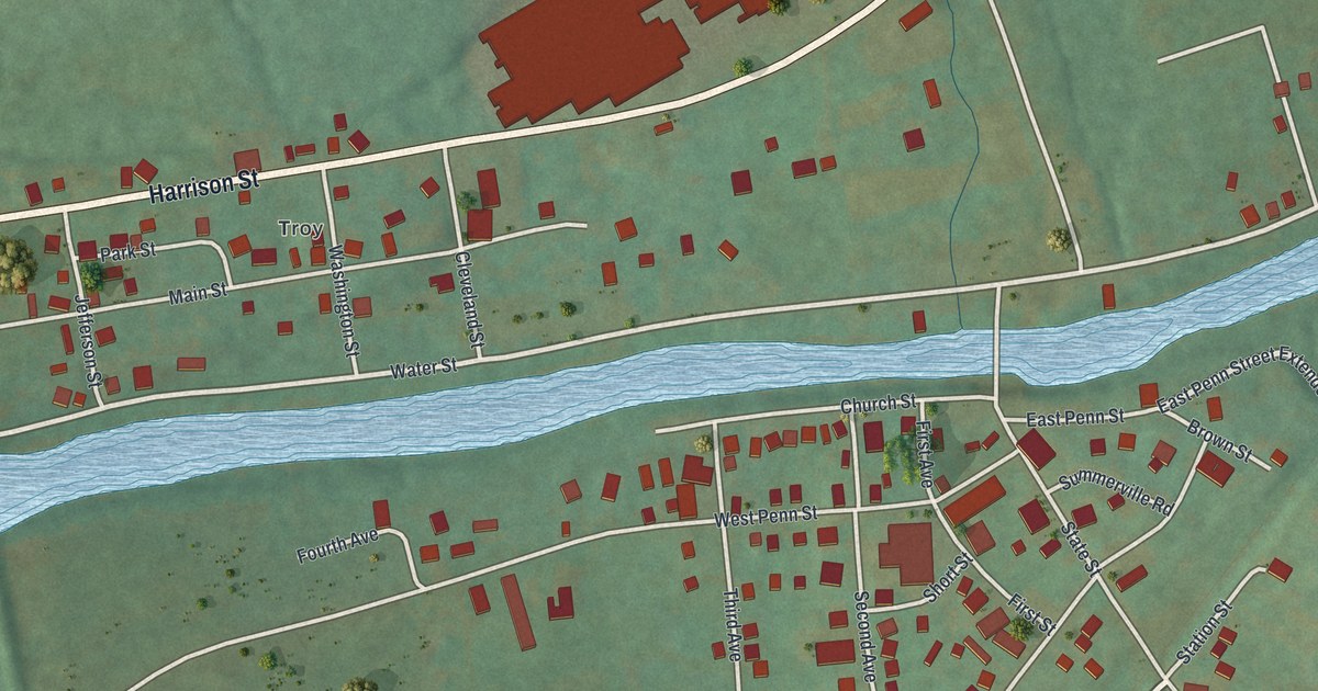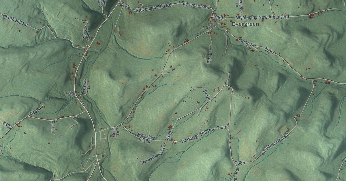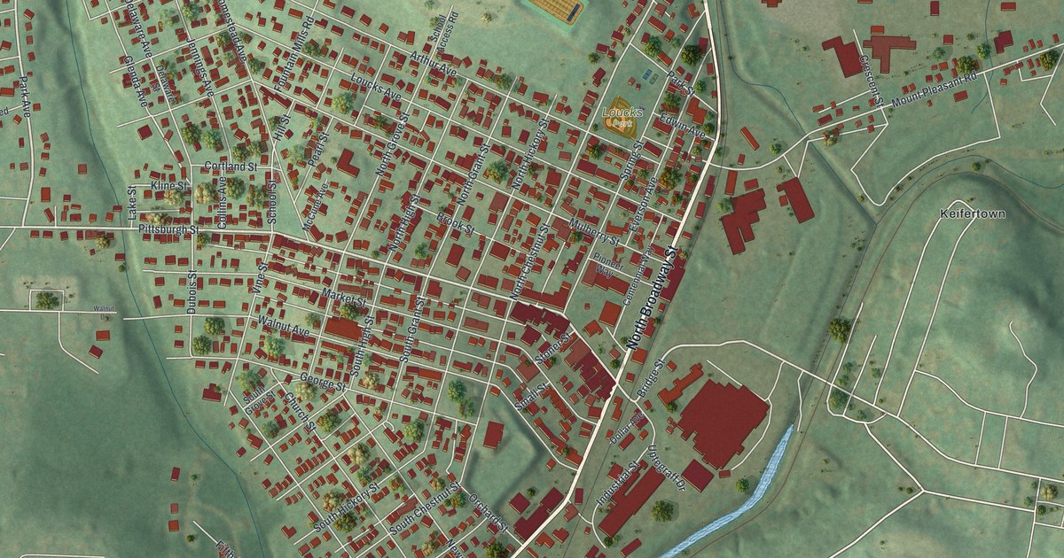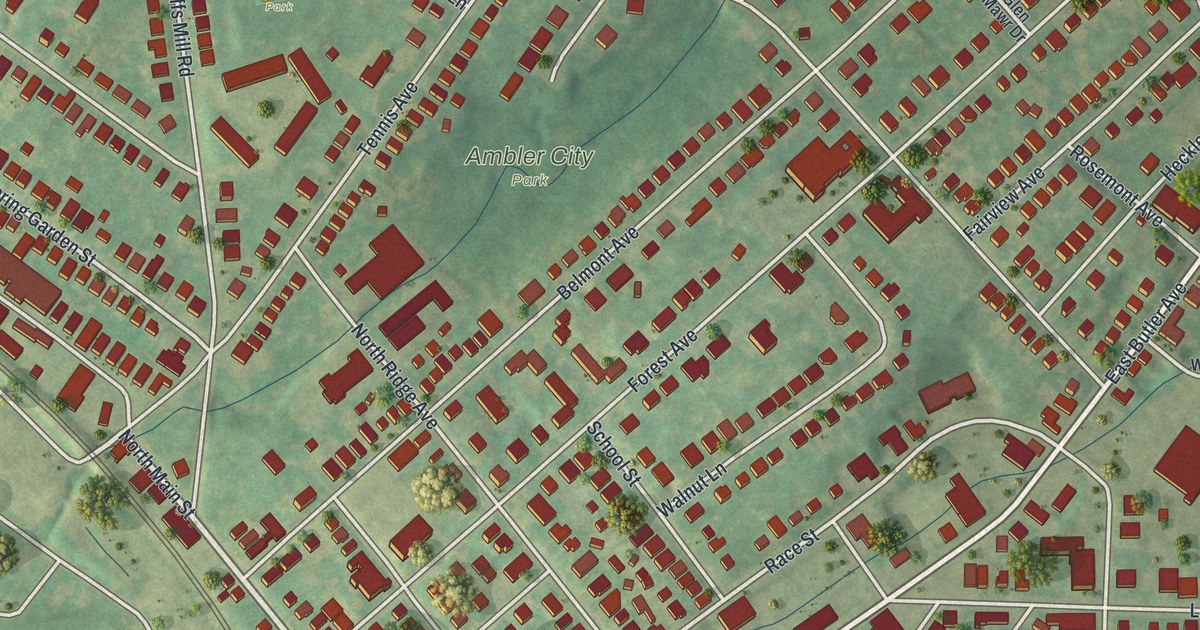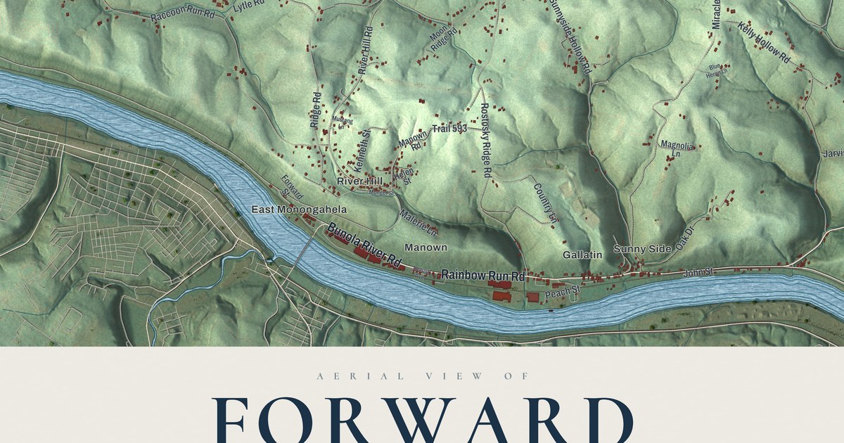
This beautifully detailed map of Forward, Allegheny County, Pennsylvania was created in 2026 using aerial imagery combined with modern topographical, census, street and landmark data. It’s a one-of-a-kind view of Forward that combines accurate data with a vintage aesthetic. The map shows every building in its true location, many of the roads carry their names, and the shaded topographic relief shows the shape of the land.
Explore an aerial view of Forward, Allegheny County, Pennsylvania
On the map you’ll find Forward Township Municipal Building, Bunola, East Monongahela, Elkhorn, Gallatin, Hilldale, Manown, River Hill, Sunny Side, and Wallace, along with Rainbow Run Road, Bunola River Road, and more. If you look closely you can even find your house accurately drawn in its correct location. Zoom in on the preview to look for yours.
Take a closer look at the Forward, Allegheny County map
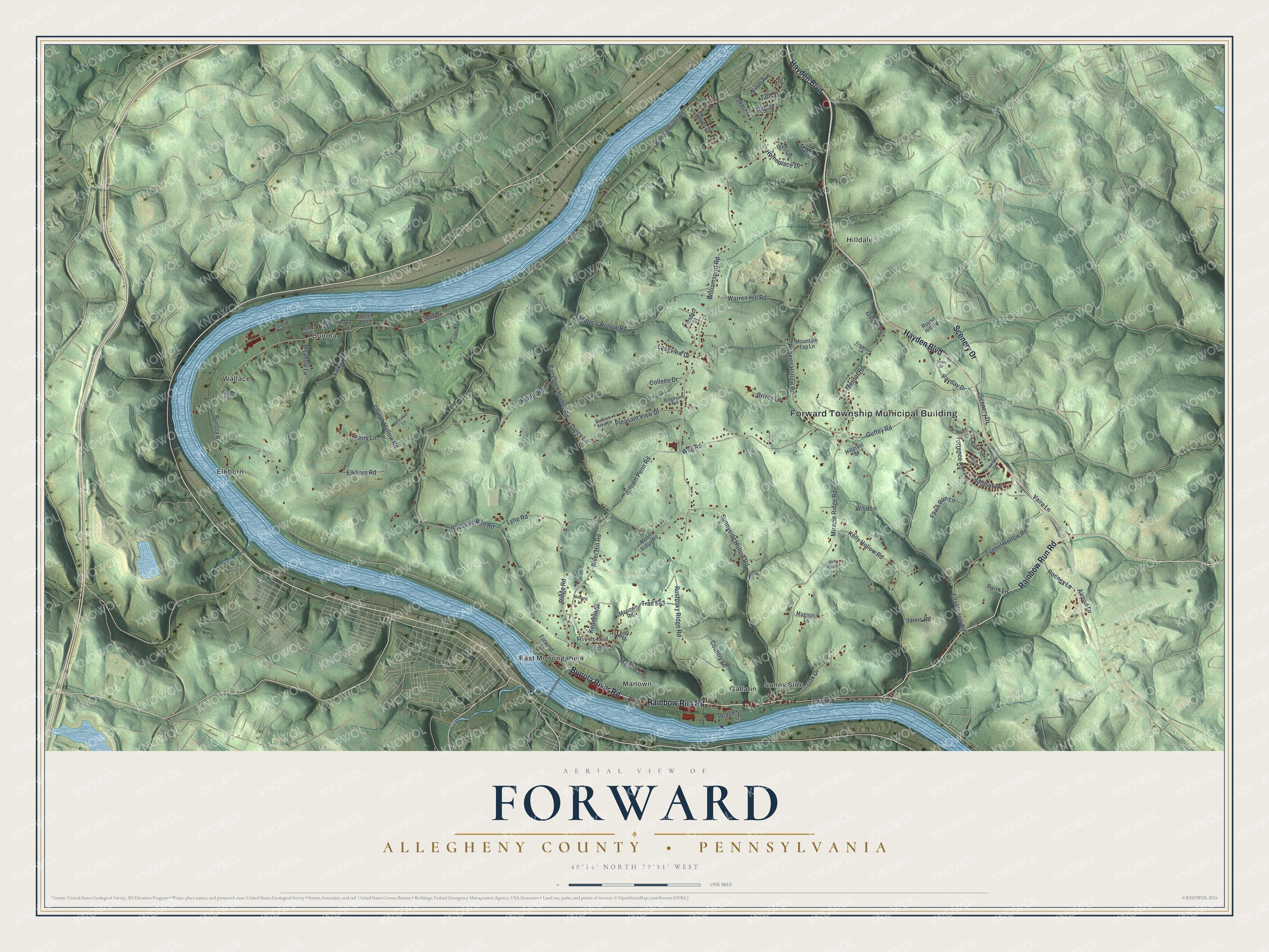
Street and place names on the Forward, Allegheny County, Pennsylvania map
These names are printed on the map of Forward, Allegheny County, Pennsylvania.
Places: Forward Township Municipal Building, Bunola, East Monongahela, Elkhorn, Gallatin, Hilldale, Manown, River Hill, Sunny Side and Wallace.
Streets and roads: Rainbow Run Road, Bunola River Road, Hayden Boulevard, Scenery Drive, Bunola Road, Williamsport Road, River Hill Road, Ella Hollow Road, William Penn Road, Raccoon Run Road, Pangburn Hollow Road, Roberts Hollow Road.
More street names, A to Z
13th Street, 16th Street, Airport Drive, Berry Lane, Blue Heron Lane, Brizes Lane, Carousel Drive, Cherry Lane, Church Hollow Road, Colleen Drive, Concord Drive, Country Lane, Darcy Lane, Dorris Drive, Drake Street, Elkhorn Road, Evergreen Lane, Farm Lane, Fawn Run Lane, Ferry Street, Fisher Lane, Forward Street, Foxwood Drive, Ginger Lane, Golden Circle, Golf Course Drive, Guffey Road, Helen Street, Hillcrest Street, Homeplace Drive, Jarvis Road, John Street, Kelly Hollow Road, Kenneth Street, Laura Lane, Locust Avenue, Longview Drive, Lytle Road, Madison Drive, Magnolia Lane, Malerie Lane, Manor Drive, Manown Road, McVicker Lane, Meadow Lane, Mentor Road, Miracle Ridge Road, Moon Ridge Road, Mountain Top Lane, Munger Street, Mustang Lane, Ninth Avenue, Oak Drive, Oliver Drive, Payday Drive, Peach Street, Penn Street, Pine Street, Pleasant View Drive, Prospect Street, Ridge Road, Ridgeview Avenue, Ripple Road, Rodney Lane, Rostosky Ridge Road, Round Hill Road, Saddler's Hollow Road, Salka Lane, Smith Lane, Sunnyside Hollow Road, Sunset View Drive, Surf Drive, Torrence Road, Trail 593, Tunnel Hollow Road, Vaira Lane, Victor Drive, Walker Road, Wall Road, Warren Hill Road, Wise Lane.
See the Forward, Allegheny County, Pennsylvania map on a wall
The Forward, Allegheny County map as an 18 x 24 inch print in a black frame.

This beautifully detailed map of Forward, Allegheny County makes an attractive addition to your office, library, or den, and it can even be used to teach children the geography and history of the area. It also makes a great gift for anyone who grew up in Forward or moved away. When you’re done exploring, click here to get your copy of the Forward, Allegheny County map.