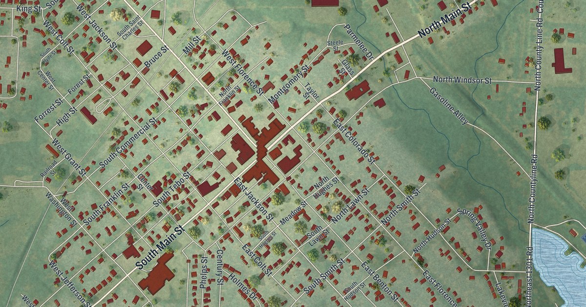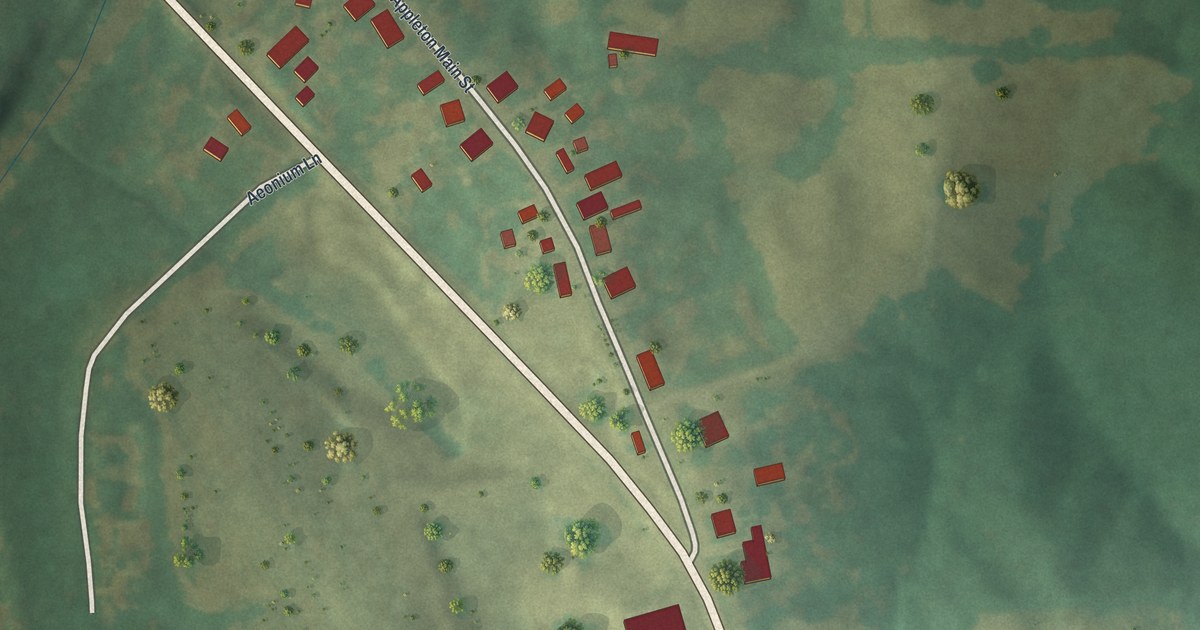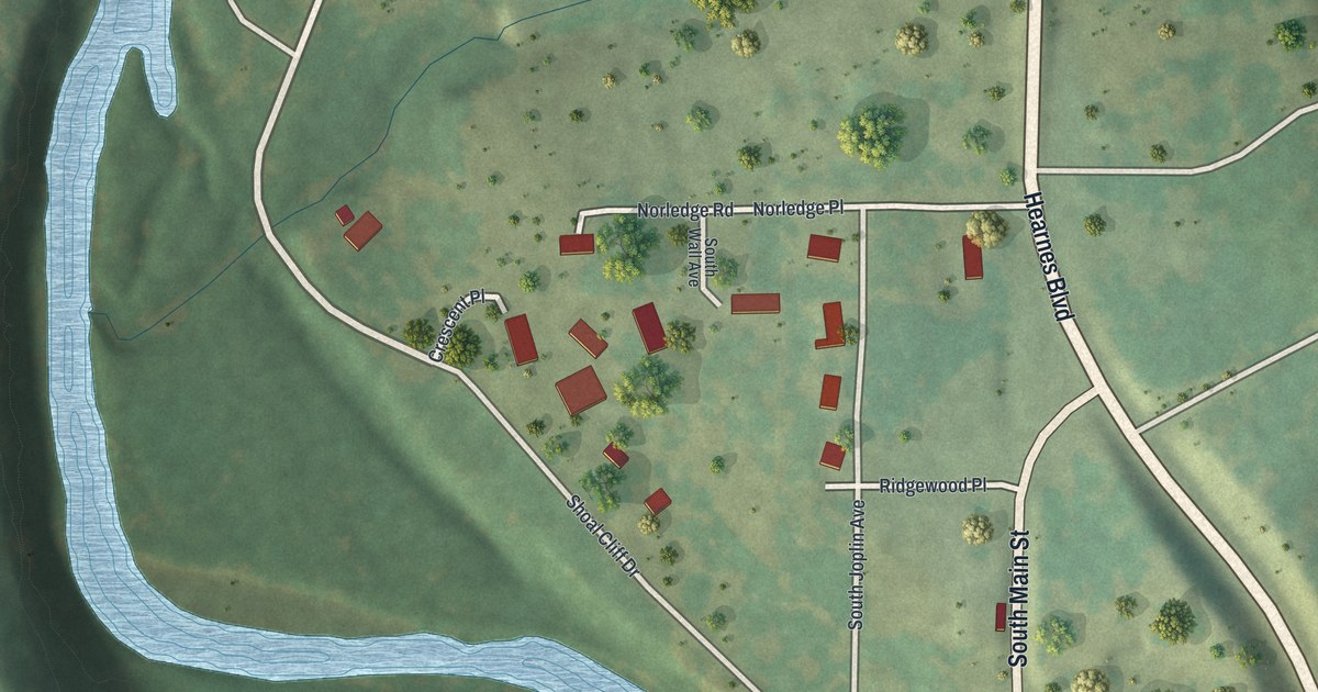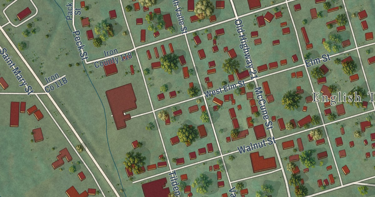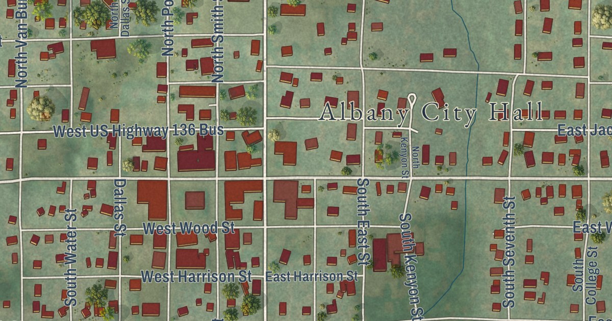
This beautifully detailed map of Albany, Missouri was created in 2026 using aerial imagery combined with modern topographical, census, street and landmark data. It’s a one-of-a-kind view of Albany that combines accurate data with a vintage aesthetic. The map shows every building in its true location, many of the roads carry their names, and the shaded topographic relief shows the shape of the land.
Explore an aerial view of Albany, Missouri
On the map you’ll find Albany City Hall, along with East US Highway 136, North Hundley Street, East Clay Street, South Hundley Street, South Birch Street, North 18th Street, West Clay Street, Fairgrounds Road, North Smith Street, North Polk Street, West Daniel Street, and more. If you look closely you can even find your house accurately drawn in its correct location. Zoom in on the preview to look for yours.
Did you know this piece of Albany, Missouri history?
Albany was laid out in 1845 under the name Athens. Michael Maltsberger, one of the first county justices, suggested it to honor Athens, Tennessee. Mail for the town kept going to a different Athens post office in Clark County. To end the mix-ups, the legislature renamed the county seat Albany in 1857. That’s from the 1922 History of Daviess and Gentry Counties, Missouri.
Take a closer look at the Albany map
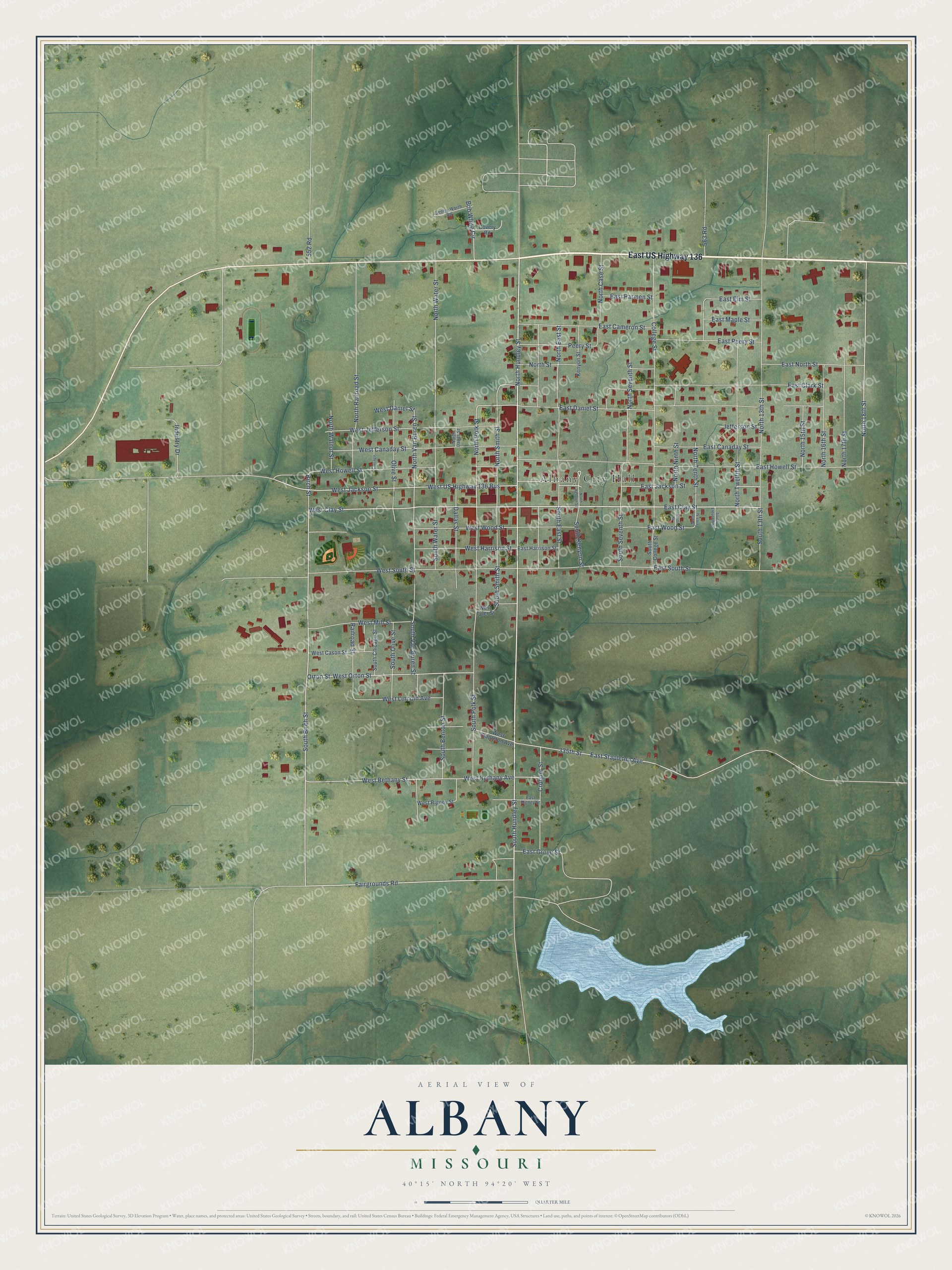
Street and place names on the Albany, Missouri map
These names are printed on the map of Albany, Missouri.
Places: Albany City Hall.
Streets and roads: East US Highway 136, North Hundley Street, East Clay Street, South Hundley Street, South Birch Street, North 18th Street, West Clay Street, Fairgrounds Road, North Smith Street, North Polk Street, West Daniel Street, North Van Buren Street.
More street names, A to Z
335th Street, 552 Road, 563 Road, Birch Street, Bob White Circle, Chicago, College Street, Covery Road, Croquet Street, Dallas Street, East Cameron Street, East Canaday Street, East Clark Street, East Daniel Street, East Elm Street, East Grove Street, East Harrison Street, East Howell Street, East Jackson Street, East Maple Street, East North Street, East Parmen Street, East Peery Street, East Rigney Street, East South Street, East Stapleton Avenue, East Wood Street, Gentry-Worth Road, Industry Drive, Jefferson Street, Kenyon Street, Ninth Street, North 13th Street, North 15th Street, North 16th Street, North 17th Street, North Case Street, North Dallas Street, North East Street, North Kenyon Street, North Ninth Street, North Railroad Street, North Seventh Street, North Street, North Tenth Street, North Twelfth Street, North Walnut Street, North Water Street, Olive Street, Orton Street, Peery Street, Railroad Street, South 13th Street, South Benton Street, South Chicago Street, South College Street, South East Street, South Eleventh Street, South Kenyon Street, South Olive Street, South Polk Street, South Seventh Street, South Smith Street, South Tenth Street, South Van Buren Street, South Water Street, West Bethany Avenue, West Bethany Street, West Canaday Street, West Cason Street, West Harrison Street, West Howell Street, West Jackson Street, West Jefferson Street, West Lincoln Avenue, West Mill Street, West Orton Street, West Rigney Street, West South Street, West Stapleton Avenue, West Tyler Street, West US Highway 136 Bus, West Wood Street.
See the Albany, Missouri map on a wall
The Albany map as an 18 x 24 inch print in a black frame.

This beautifully detailed map of Albany makes an attractive addition to your office, library, or den, and it can even be used to teach children the geography and history of the area. It also makes a great gift for someone who left Albany and still calls it home. When you’re done exploring, click here to get your copy of the Albany map.