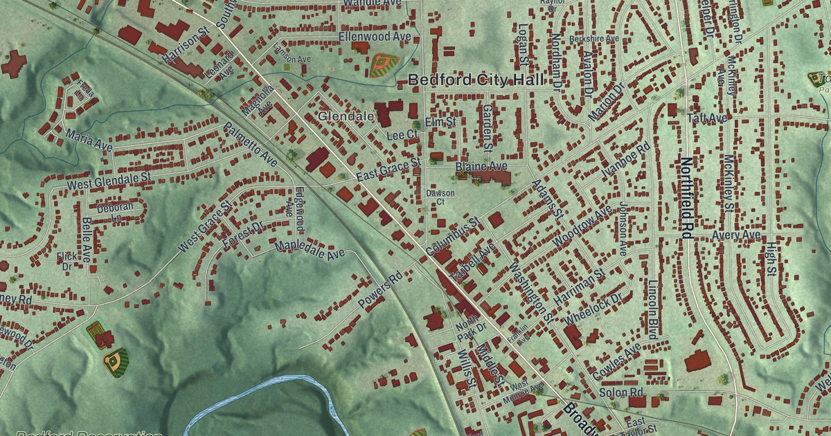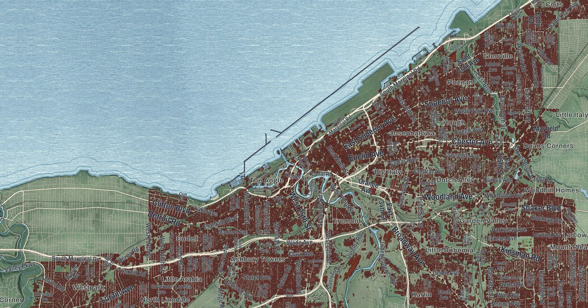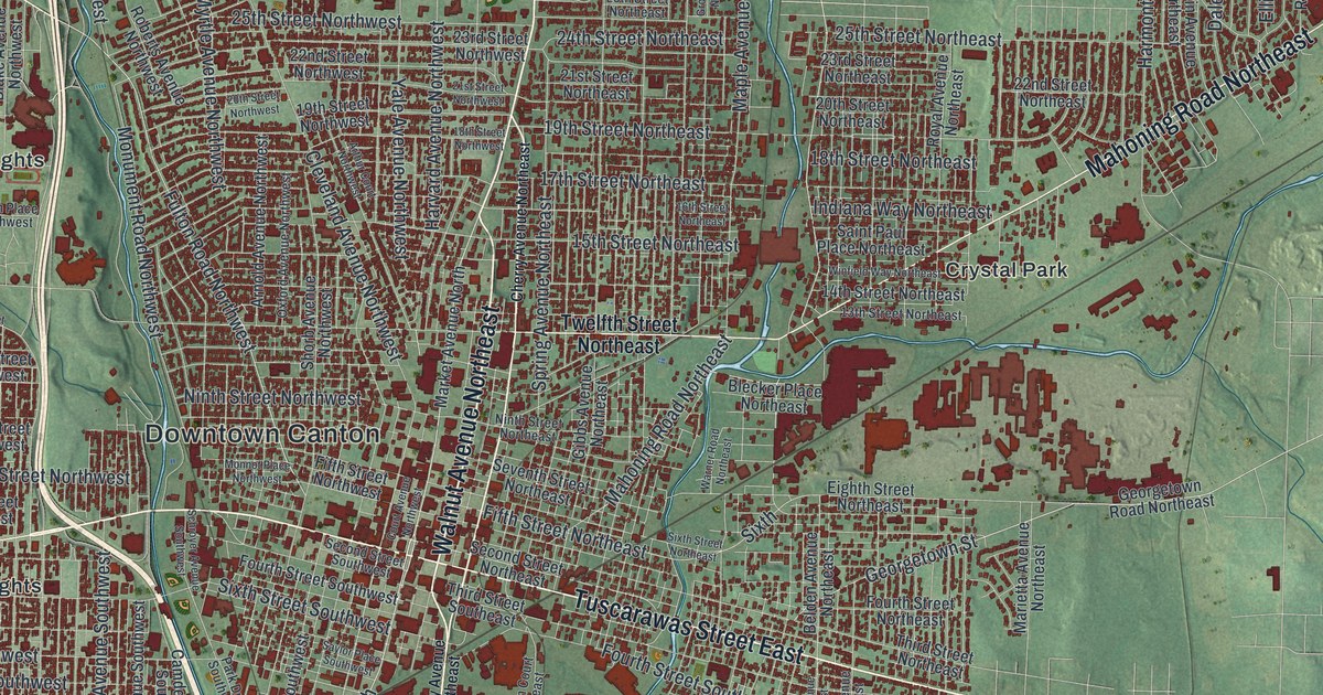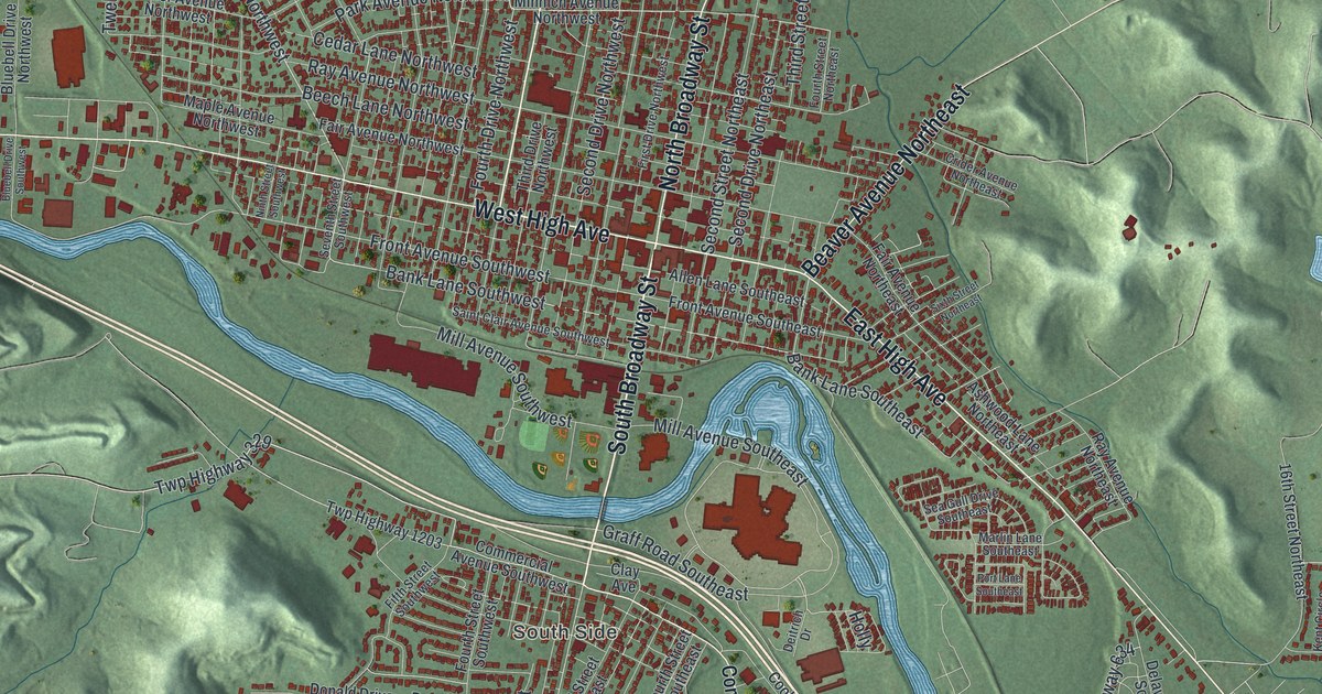
If you grew up in New Philadelphia, swam at Tuscora Park, or have family on the South Side, this map gives you a lot to find. It's a modern aerial view of New Philadelphia, the county seat of Tuscarawas County, Ohio, made from modern data with a vintage look. The Tuscarawas River bends around downtown in blue, and more than 15,000 buildings are drawn in red. Green hills fill the edges, from Oak Shadows Golf Club near the top to Schoenbrunn in the lower right. Explore the print options for New Philadelphia.
From Broadway out East High Avenue to Schoenbrunn
Start downtown, where North Broadway Street crosses West High Avenue and East High Avenue. The Tuscarawas County Courthouse sits on the square here, though the map doesn't label it. Head north on North Broadway Street to Tuscora Park. Seven Mile Drive climbs past the park into the hills, and Oak Shadows Golf Club is up to the northeast. Now go back to the square and follow South Broadway Street south. It crosses the river, which isn't labeled, into the South Side. Commercial Avenue Southwest and Commercial Avenue Southeast run through that side of town. Back downtown, take East High Avenue southeast along the flat ground by the river. Past Beaver Avenue Northeast, it runs below Schoenbrunn Estates and on to Schoenbrunn, with University Drive Northeast and Reiser Avenue Southeast nearby. Many roads are labeled, and each red shape is a building, so zoom in on the preview and look for yours.
The Schoenbrunn schoolhouse of 1772
Schoenbrunn is the story to tell when someone asks about the map. In the spring of 1771, the Delaware people gave land in this valley to David Zeisberger for a Moravian mission. He laid out a town and named it Schoenbrunn. The name means "Beautiful Spring." In December 1772, Zeisberger and his followers started building a schoolhouse. Delaware children learned there from books Zeisberger wrote in the Delaware and German languages. One of their teachers, John Heckewelder, is known as the first schoolteacher in Tuscarawas County. That comes from a state historical marker at 1984 East High Avenue. The schoolhouse there now was rebuilt and dedicated in 1928.
The map doesn't mark the schoolhouse. The marker says the old village is a few hundred yards south of it, so look near the printed Schoenbrunn label along East High Avenue. The missions didn't stay in one spot. During the Revolutionary War, Zeisberger feared the Delaware nation would join the British side. He was living at a mission near present-day Coshocton then. On April 10, 1779, he moved his converts about 35 miles up the river to a safer place. That was New Schoenbrunn, on the wide, flat ground beside the Tuscarawas River. Its marker stands at 1103 Commercial Avenue, on the South Side. Find Commercial Avenue Southeast on the print and you can see the flat land by the river bend.
For anyone who grew up near Tuscora Park
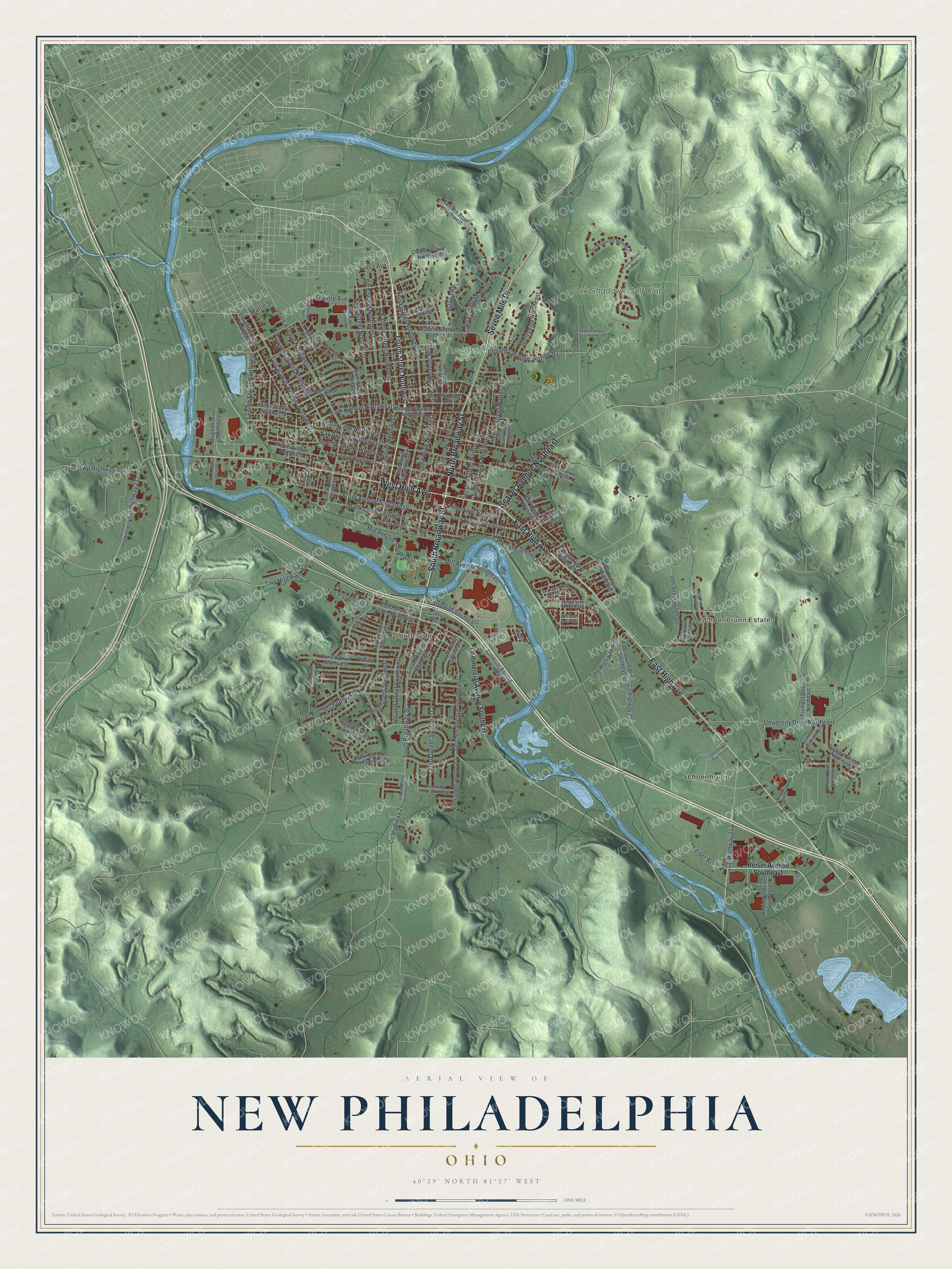
Created by KNOWOL in 2026, this map of New Philadelphia fits an office, a den or a family room. The hills are shaded from USGS elevation data, so the ridges around town are the real shape of the land. The title panel reads "Aerial View of New Philadelphia, Ohio," with the coordinates 40°29' North, 81°27' West and a one-mile scale bar.
It's a thoughtful gift for someone who grew up here, went to school here, or moved away and still has family in town. Open the preview, zoom in and find the streets you know. Shop the New Philadelphia, Ohio map.