If you grew up in East Weissport, Harrity or up the hill in Indian Hills, this map gives you a lot to find. It's a modern aerial view of Franklin Township in Carbon County, Pennsylvania, made from modern data and given a vintage look. The Lehigh River runs down the left edge, though it isn't labeled. Weissport and North Weissport sit beside it at the bottom left. A big lake fills part of the right side, and the hills rise in shaded green toward the top of the sheet. Explore the print options for Franklin, Carbon County.
Interchange Road from Weissport to Harrity and Beltzville
Start at Weissport, by the river at the bottom left. Canal Street runs north from there to North Weissport. Main Road heads east into East Weissport. Now pick up Interchange Road and follow it east. It passes East Weissport and then reaches Harrity. At Harrity, Harrity Road runs north, and Cherry Hill Road runs south toward Sunny Rest Lodge. Keep going east on Interchange Road to Beltzville at the bottom right. Airport Road and Hemlock Street both meet it there. Back at Harrity, Pohopoco Drive heads east to Big Creek, where Old Mill Road and Grange Road branch off.
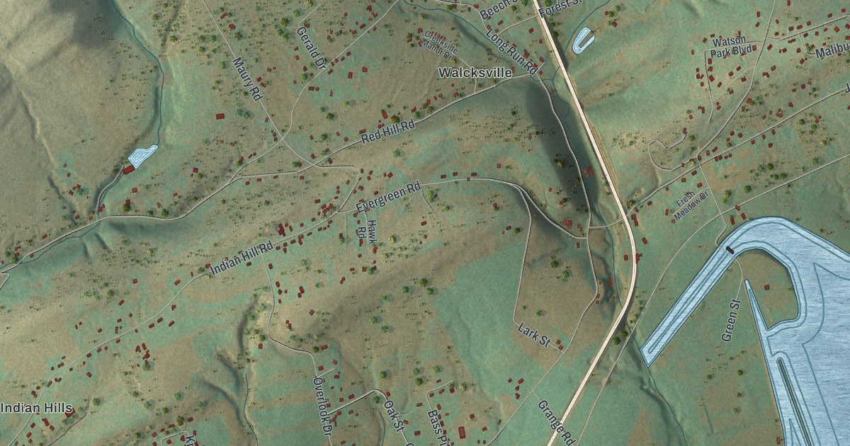
For the upper half, go back to North Weissport and take Fairyland Road east. It passes the Franklin Township Municipal Office. From there, Indian Hill Road climbs north to Indian Hills. Long Run Road runs above it, from Long Run over to Walcksville. Then Forest Street climbs to the top right, where Krakow Drive, Tatra Drive and Innsbruck Drive sit close together. Many of the roads are labeled, and each red shape is a building, so zoom in on the preview and look for yours.
The Maria furnace at Harrity
Harrity is where the township's iron furnace stood. The 1913 History of Carbon County tells the story. In 1827, David Heimbach Sr. built a furnace on the bank of the Poho Poco creek, on the spot where Harrity is now. He named it New Hampton and put his son John in charge. In 1834, the father died at his home in Allentown. His sons John and David went to the funeral. When they got back to Carbon County, both came down with typhoid fever. One died at night, and the other died the next morning. In 1836, William Miller bought the furnace. He renamed it Maria, after his wife. Iron ore came up to it on the Lehigh Canal. The fires went out for good on January 1, 1859.
Harrity is named for William F. Harrity, a Philadelphia businessman and Democratic leader. By 1913 it had a hotel, a store, a grist mill and a few homes. The book says the old state road from Weissport to Harrity ran about two miles. On the map, Interchange Road links those two labels today. The creek isn't labeled, but Pohopoco Drive carries its name east out of Harrity. The same book records a nickname for Franklin, too. Most of Carbon County's sheriffs for many years had come from here, so people were calling it the "Mother of the Sheriffs."
For anyone who knows Interchange Road and Harrity
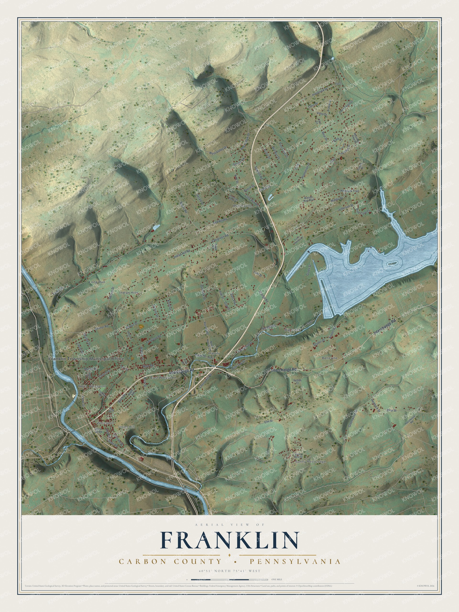
Created by KNOWOL in 2026, this map of Franklin Township shows the hills in shaded green, with the Lehigh River on the left and the lake on the right. The shading comes from USGS elevation data. The title panel reads "Aerial View of Franklin, Carbon County, Pennsylvania" with the coordinates 40°51' North, 75°41' West and a one-mile scale bar.
Hang it in an office, a den or a family room. It's a thoughtful gift for someone who went to school here, grew up off Fairyland Road or still has family in Carbon County. Open the preview and follow Interchange Road east to find your corner. Shop the Franklin, Carbon County, Pennsylvania map.