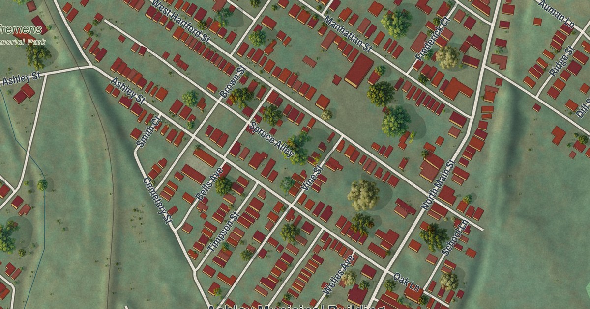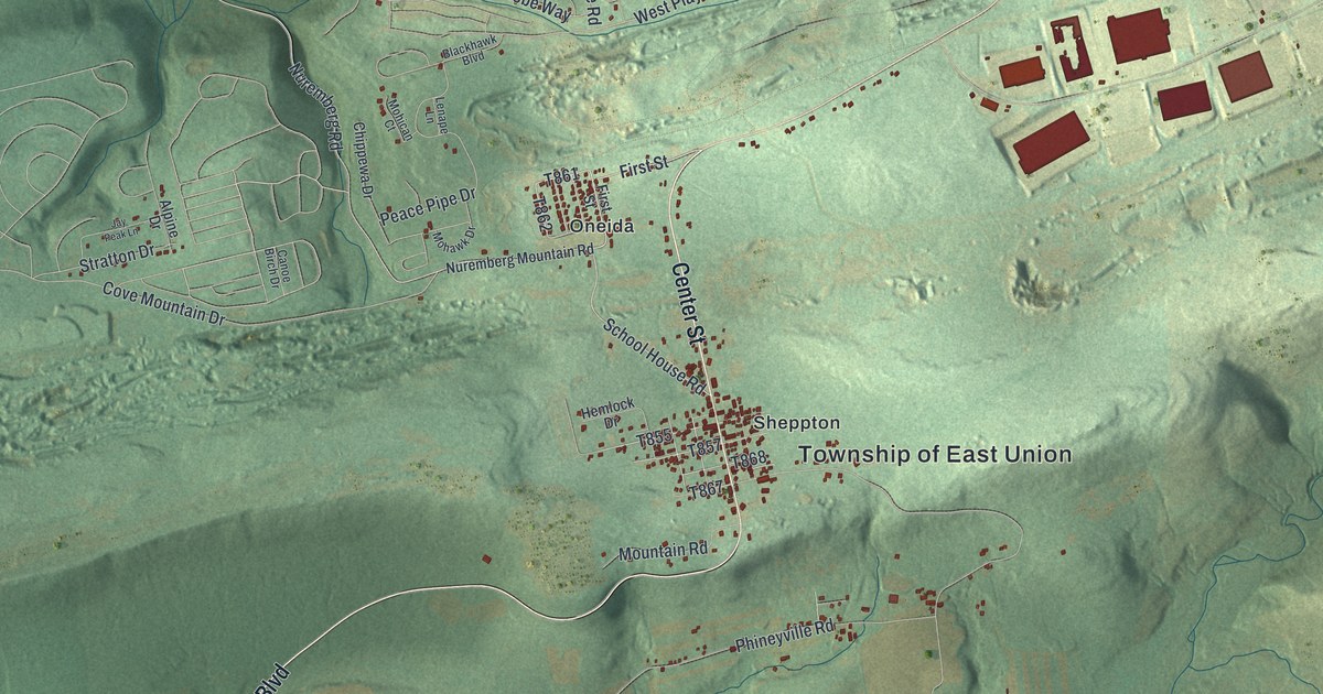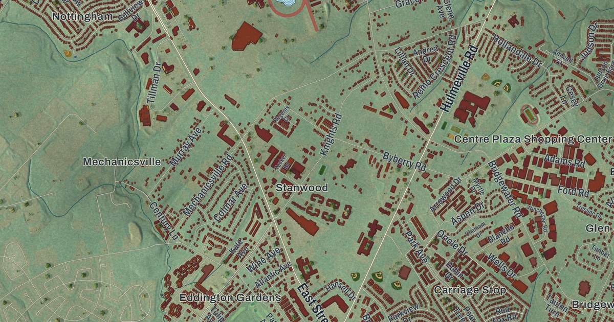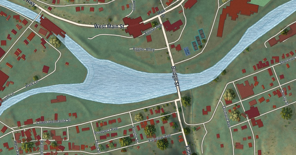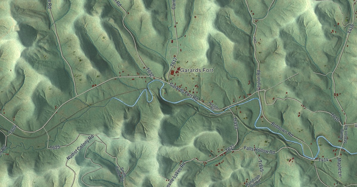
If you grew up around Garards Fort, have family on one of these ridges, or drive Garards Fort Road every day, this map shows the township the way it really lies. It's a modern aerial view of Greene Township in Greene County, Pennsylvania, made from modern data and printed with a vintage feel. The hills are shaded in soft green, a creek valley cuts across the middle, and each building is a small red mark. Garards Fort sits right at the center, with Fordyce off to the west and Headlee Heights and Willow Tree to the east.
Garards Fort, Fordyce and Headlee Heights
Start at Garards Fort in the middle of the sheet. Carmichaels Road comes down from the top and ends here, and Laurel Run Road comes down beside it. Garards Fort Road runs east and west through the village along the creek. A thin blue creek line runs right beside it. Head east and you'll cross Bobtown Road, which drops south, and Ceylon Road, which climbs toward the top right corner. Keep going and the road becomes Mapletown Road, which passes Headlee Heights and Willow Tree. Turkey Knob Road runs north from Willow Tree, and Colvin Road climbs past Headlee Heights. Now go back to the village and head west instead. Garards Fort Road bends up through the hills to Fordyce, where Fordyce School Road meets it. Keep going and Woods Run crosses it further up, near the top left corner. Down at the bottom of the sheet, Greene Lakes Road, Bunner Hill Road and Roberts Run Road wind through the hollows. Many of the roads are labeled, and each red mark is a building, so zoom in on the preview and look for yours.
John Corbly and the first church in Greene County
Garards Fort is the oldest story on this map. In the Revolutionary War it was a fort on the bank of the creek, a place settlers could run to when raids came. A small group of Virginia militia was posted there in 1777. The village grew up around it. On October 7, 1776, the first church in the county was formed near the fort. It was later known as Goshen Baptist Church. Some families walked twelve to fifteen miles to get to a service. Its early pastor was a Baptist minister named John Corbly, and an 1888 county history printed a letter he wrote in 1785.
On the second Sunday of May 1782, Corbly set out for a meeting house about a mile from his home. His wife and five children walked ahead. He followed about 200 yards behind, reading his Bible. Then he heard them scream. A party of Indians had attacked the family on the path. His wife and three of the children were killed. Two of his children were hurt but lived. His oldest daughter had hidden in a tree nearby and saw it all. He kept preaching. A state historical marker says he was one of about 150 men arrested by federal troops on the night of November 13, 1794, during the Whiskey Rebellion. He was held in Philadelphia for a time, then came home to Garards Fort and went back to his ministry.
Look for the sites on the print. The village label sits where the history places the fort, on the creek in the center of the township. The National Register lists the John Corbley Farm, spelled with an e, just north of Garards Fort. It also lists two covered bridges over the creek near the village, the Neils Red Covered Bridge to the east and the White Covered Bridge to the west, both added in 1979. Follow Garards Fort Road either way out of the village and you're tracing that creek valley.
For someone who knows Garards Fort Road
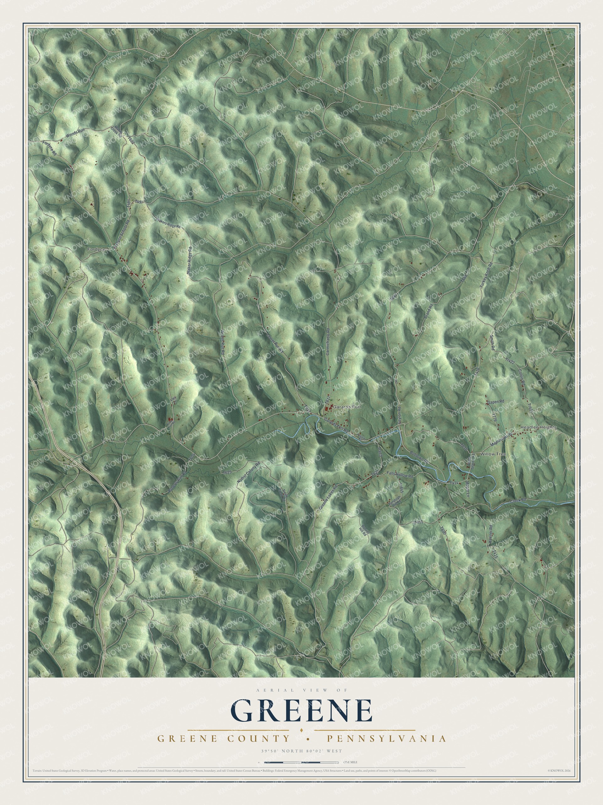
Created by KNOWOL in 2026, this map of Greene Township is mostly ridges and hollows, with the shading built from USGS elevation data and the roads and buildings drawn where they sit. The title panel reads "Aerial View of Greene," then "Greene County • Pennsylvania," with the coordinates 39°50' North, 80°02' West and a one-mile scale bar.
It suits an office, a den, a kitchen wall or a hunting camp. It's a thoughtful gift for someone who grew up along Whiteley Creek, moved away from Greene County, or still has family in Garards Fort or Fordyce. Open the preview, zoom in and find the road you know. See sizes and frames for the Greene, Greene County map.