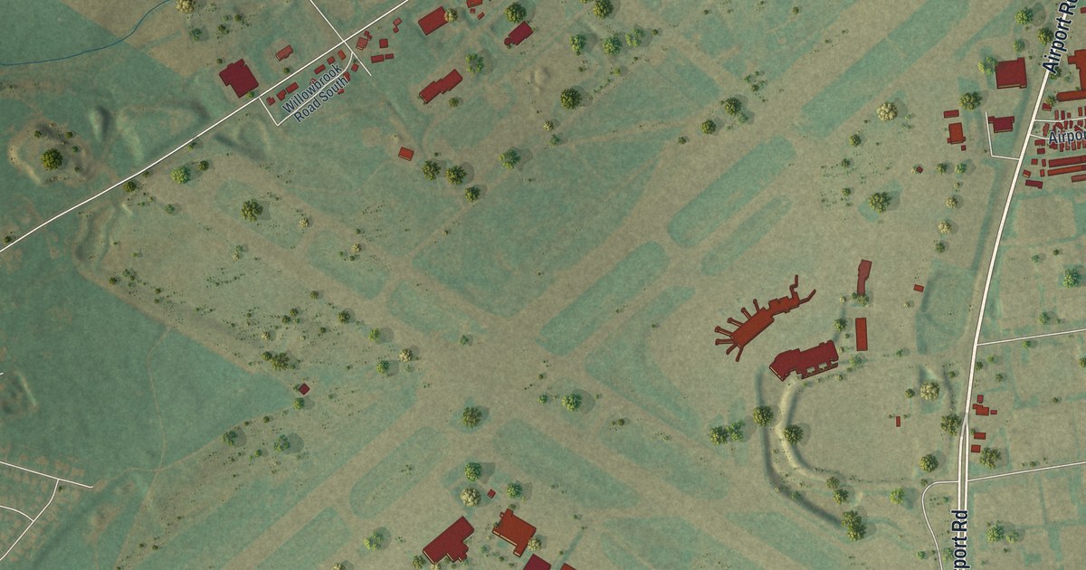
If you grew up off Airport Road, work along Postal Road or have family near Sherwood Park, this map gives you plenty to find. It's a modern aerial view of Hanover Township in Lehigh County, Pennsylvania, made from modern data with a vintage artistic feel. Buildings are marked in deep red on soft green hills. A blue river winds down the left side, and a long, straight highway cuts across the lower half. In the middle sits the wide open X of the runways.
From Schoenersville down Airport Road to Sherwood Park
Start at the Hanover Township Office, on the right side of the sheet. Ronca Boulevard, Irma Drive and Barness Drive fill the small grid around it, and Grove Road links it to Airport Road. Follow Airport Road north. At the top right you'll reach Schoenersville, where Schoenersville Road and Weaversville Road branch off. Race Street heads west from there, past a row of big red buildings. Farther west, Willowbrook Road climbs into open fields at the top left.
Now come back south on Airport Road, past the runways. Postal Road branches west toward Hayden Circle and Hangar Place, with Marcon Boulevard and Irving Street below it. Airport Road then crosses the highway. Just past it, Airport Center Road leads to Cedar Hill Memorial Park, and Lloyd Street runs along the bottom. Catasauqua Road heads east to Sherwood Park, where Troxell, Hoover, Taft and Tacoma Streets make a tight grid. Many roads are labeled, and each red shape is a building, so zoom in on the preview and look for yours.
How the Manor of Fermor became Hanover farms
Much of Hanover was settled late, and a 1914 history of Lehigh County explains why. Most of the land sat inside the Manor of Fermor. That was 23,000 acres the Penn family had surveyed for their own use. It wasn't open to settlers until 1795. Families moved in anyway, some probably as early as 1743. The Penns' heirs took them to federal court in Philadelphia to put them off the land. In June 1795 a jury was sworn in. After a short talk, the two sides settled.
Each side paid half the costs. The settlers paid about a dollar and seventy-five cents an acre, and the deal was signed at Easton on June 25, 1795. The manor was then surveyed again into 196 tracts, drawn around the land the settlers already held. Hartzell, Frankenfield, Ritter, Ehrig, Santee and Koehler were among the family names in the suits. In 1798 a court split the lower part of Allen Township off and named it Hanover, most likely after the German settlers' old home. The same history says Hanover was the only township in Lehigh County east of the Lehigh River. That's the blue river winding down the left side of the sheet.
For someone who knows Airport Road and Schoenersville
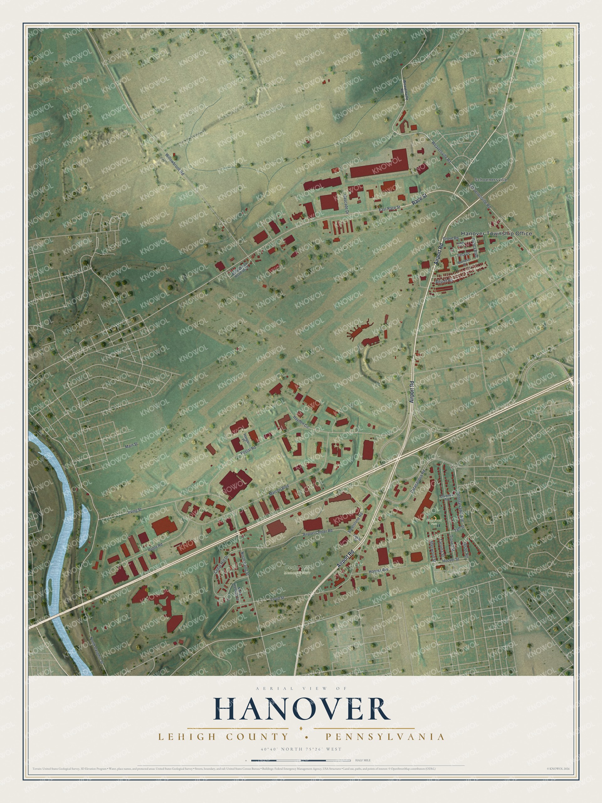
Created by KNOWOL in 2026, this Hanover map shows buildings in deep red over soft green hills, with the runways and the river easy to spot from across the room. The shaded hills come from USGS elevation data. The title panel reads "Aerial View of Hanover, Lehigh County, Pennsylvania" with the coordinates 40°40' North, 75°26' West and a half-mile scale bar.
It suits a home office, a den or a family room. It's a thoughtful gift for someone who grew up near Sherwood Park, or who moved away from the streets around Schoenersville. Open the watermarked preview, zoom in and trace a road you know. See sizes and frames for the Hanover, Lehigh County map.