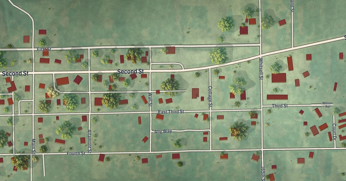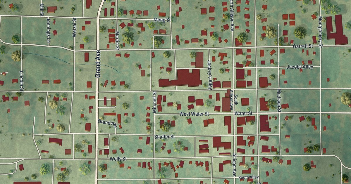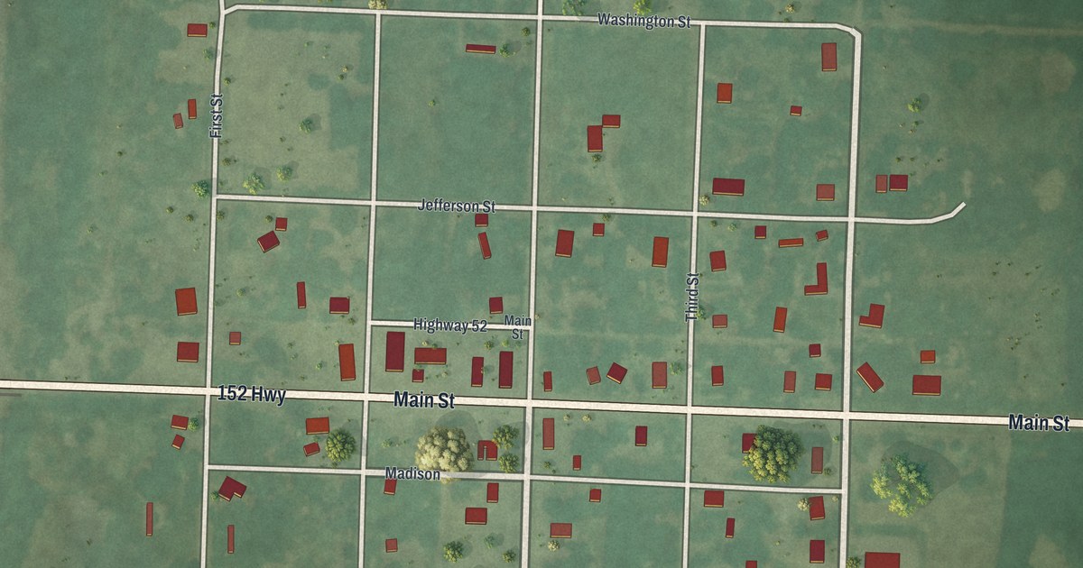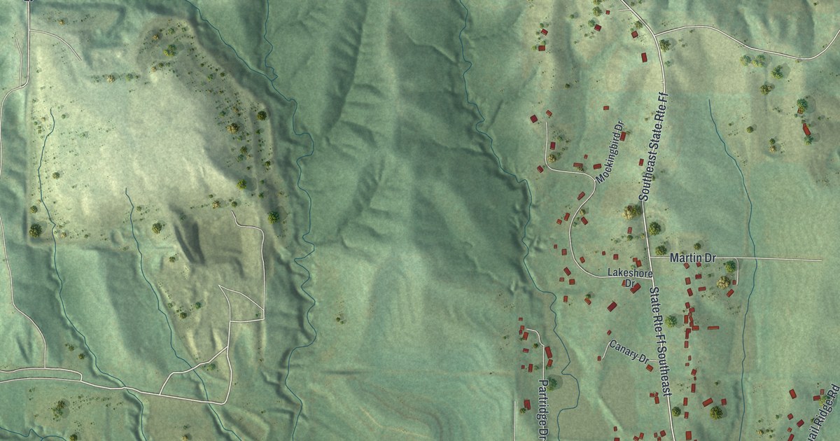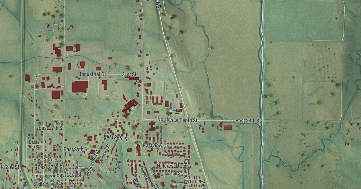
If you grew up in Trenton, went to school off East Ninth Street, or still have family who drive Main Street, this map has plenty for you to find. It's a modern aerial view of Trenton in Grundy County, Missouri, made from modern data with a vintage feel. More than 3,000 buildings are marked in deep red on soft green hills. A winding river loops through the lower left, and a big blue lake sits east of town. Up close, you can find your own street.
From Trenton City Hall to Lake Trenton Drive
Start at Trenton City Hall, just left of the middle of town. Main Street runs south from there through the downtown blocks. East Ninth Street heads east, and Oklahoma Avenue crosses town from north to south. Now go east on East Tenth Street. It runs over a long, straight blue line that splits the sheet. Keep going to the big lake. Lake Trenton Drive curls along its shore, with Mariner Road, Sportsman Road and Fisherman Road close by.
Back in town, Moberly Park sits on the west side, with Bolser Street beside it. North Highway 65 runs north out of town, near Industrial Drive and 31st Street. Highway 6 leaves to the west in the lower left and crosses the winding river. Airport Road runs south from the center. Many of the roads are labeled, and each red shape is a building, so zoom in on the preview and look for yours.
How Trenton raised money for a railroad in 1880
Trenton already had a railroad by 1880, and it wanted more. An 1881 county history tells how hard the town worked for it. In July 1880, people in and around Trenton raised 40,000 dollars on their own. The money went to the Quincy, Missouri and Pacific road. There was one catch. The tracks had to reach the city limits by July 1, 1881. With public money added, the county's railroad pledges came to a little over 300,000 dollars. In return, the county got railroad property assessed at nearly 400,000 dollars. The same book prints an older deal, too. Three builders promised to finish a brick courthouse in the Town of Trenton by July 1, 1844. One rail line is drawn on this print, and it passes close to Trenton City Hall.
Trenton's six National Register places
Six Trenton places are on the National Register of Historic Places, and four of them are on two printed streets. The Plaza Hotel is at 715 Main Street, and the Jewett Norris Library is at 1331 Main Street. St. Philip's Episcopal Church is at 141 East Ninth Street. Trenton High School is farther east, at 1312 East Ninth Street. The WPA Stock Barn and Pavilion is at Eastside Park, off Oklahoma. The George Wolz House is on West Crowder Road.
For anyone who knows Main Street in Trenton
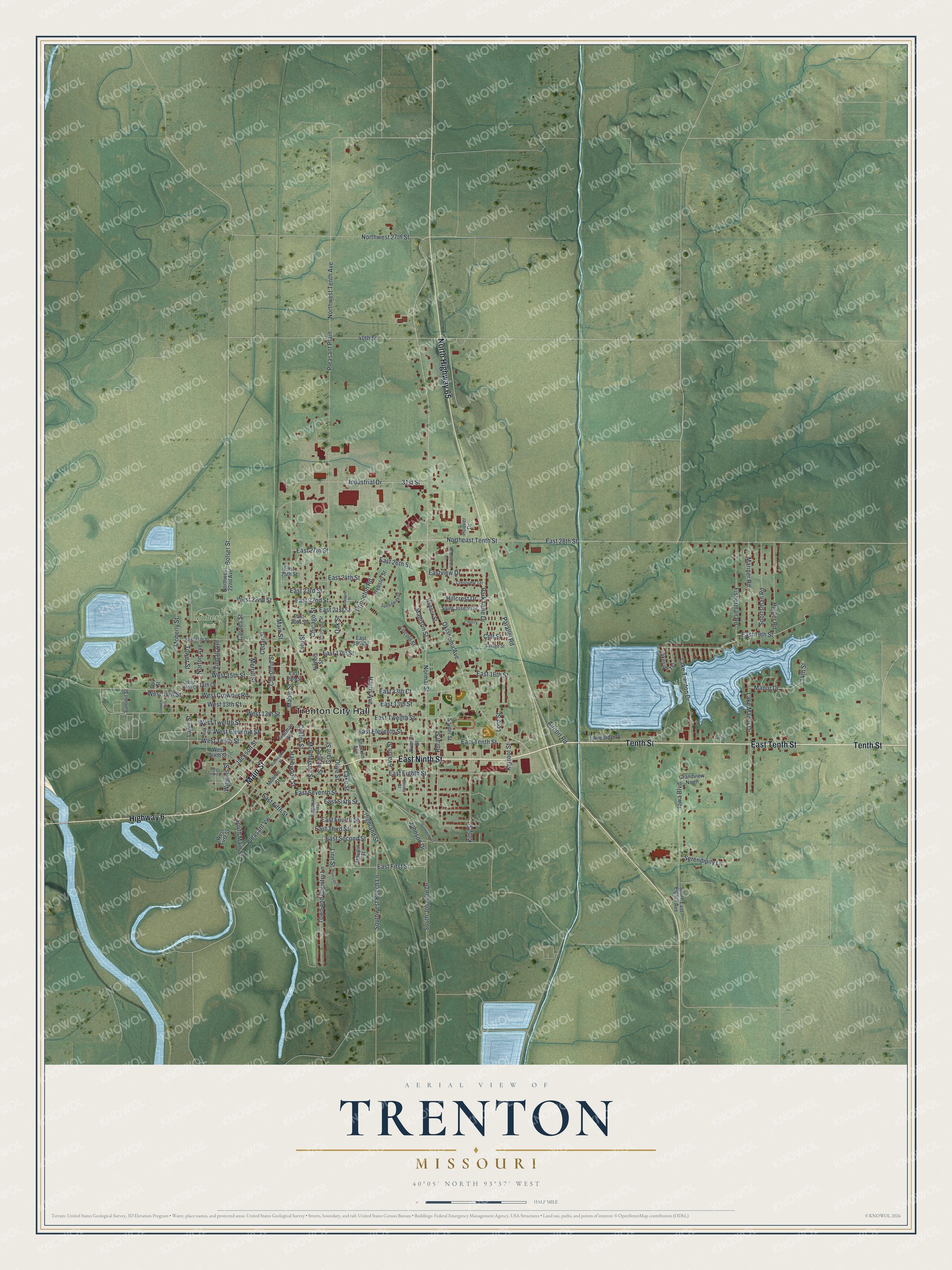
Created by KNOWOL in 2026, this Trenton map suits an office, a den or a family room. The hills are shaded from USGS elevation data, and the buildings are marked in deep red. The title panel reads "Aerial View of Trenton, Missouri," with the coordinates 40°05' North, 93°37' West and a half-mile scale bar.
It's a thoughtful gift for someone who went to Trenton High School, grew up near Moberly Park, or moved away from Grundy County. Open the preview, zoom in and find a street you know. See sizes and frames for the Trenton map.