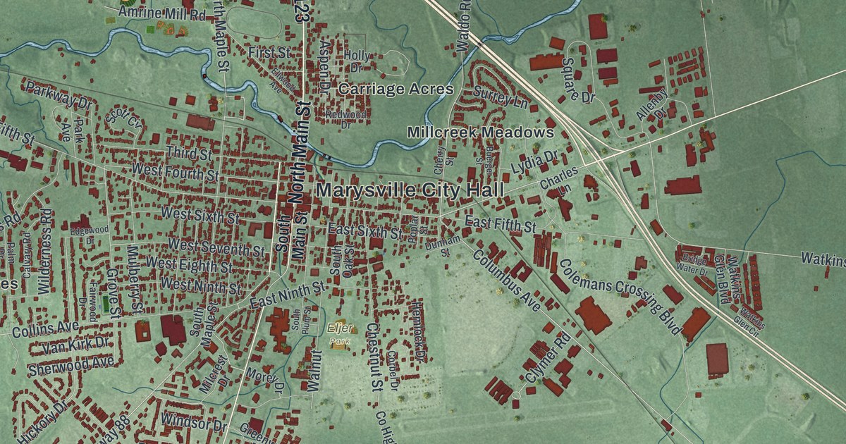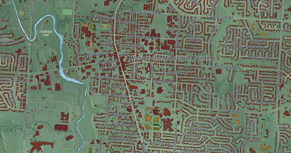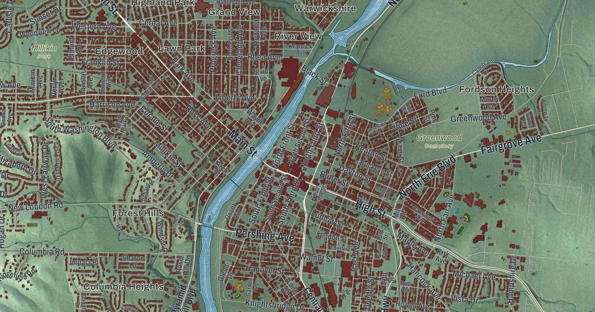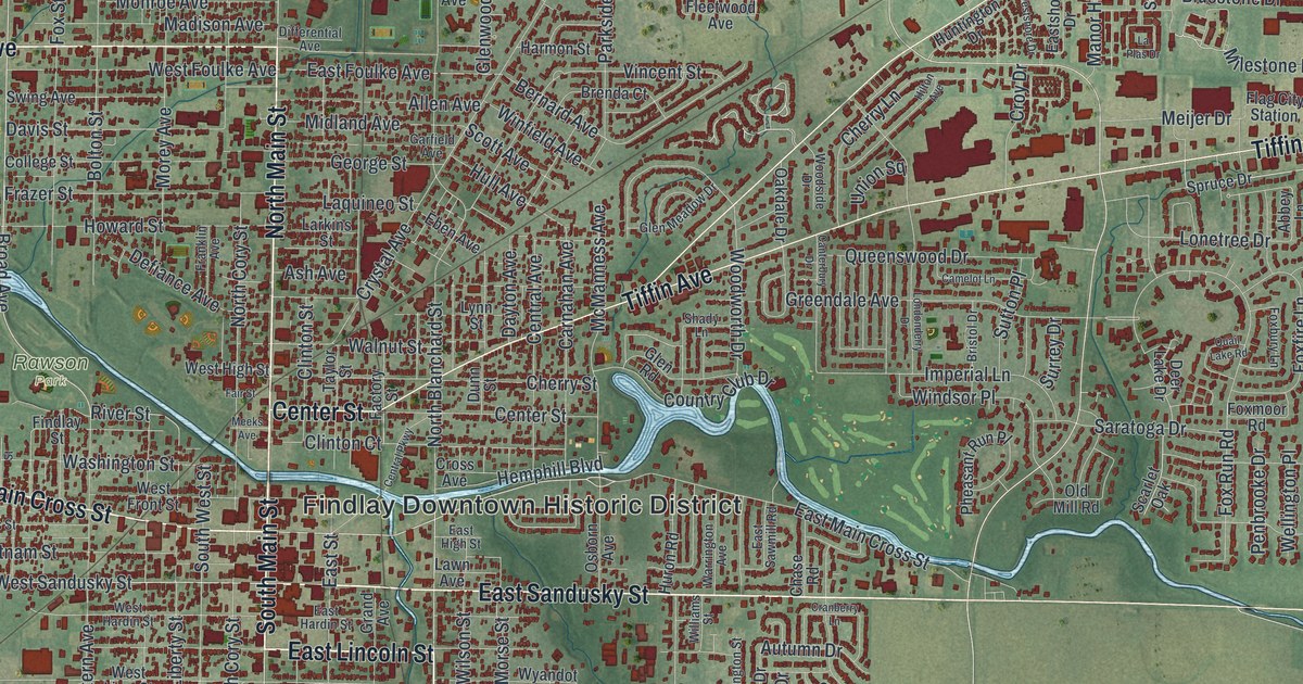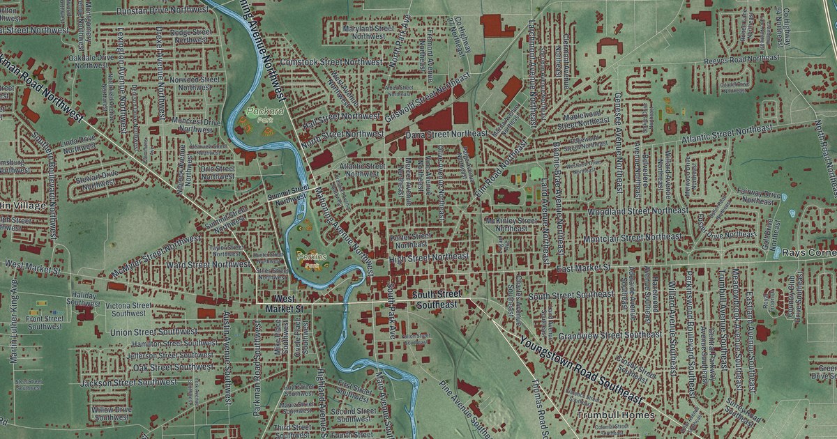
If you grew up in Warren, went to Harding High or still have family near downtown, this map gives you a lot to find. It's a modern aerial view of Warren in Trumbull County, Ohio, made from modern data and given a vintage look. A blue river winds down the west side of town and runs right past downtown. More than 33,000 buildings are marked in deep red on soft green ground. The view reaches from Hardscrabble and Austin Village on the left to Morgandale and Rays Corners on the right.
Market Street, Mahoning Avenue and Packard Park
Start downtown, in the middle of the sheet, where West Market Street and East Market Street meet. North Park Avenue and South Park Avenue cross Market Street there. From that corner, Mahoning Avenue Northwest heads up and to the left along the river. Packard Park and Perkins Park sit near the water, close to the center. Farther out, Parkman Road Northwest runs toward the top left corner, where Hardscrabble is printed.
Now go back downtown and head the other way. Youngstown Road Southeast and Niles Road Southeast both run southeast, toward Trumbull Homes near the bottom of the sheet. West Market Street crosses the river and heads west, past Austin Village by a big bend in the water. Up in the top right corner, look for Morgandale and Wilhelm Corner. Rays Corners sits on the right side along Co Highway 329. Many roads are labeled, and each red shape is a building, so zoom in on the preview and look for yours.
Harriet Taylor Upton's house on Mahoning Avenue
Harriet Taylor Upton moved to Warren as a child. From 1873 she lived in a house on Mahoning Avenue, a few blocks north of the courthouse. In 1895 she became treasurer of the National American Woman Suffrage Association. In 1903 she brought the group's national headquarters to Warren. It stayed here until 1910. She was also president of the Ohio Woman Suffrage Association for 18 years. Those facts come from the Ohio historical marker in front of her house. She also wrote a 1909 history of Trumbull County.
To find her street, start back where Market Street meets Park Avenue. Then follow Mahoning Avenue Northwest up along the river. The Upton house stands on that stretch. So does the Perkins House, built in 1871. Its marker names U.S. Grant, James A. Garfield, Rutherford B. Hayes, Benjamin Harrison and William McKinley as visitors. Zoom in along Mahoning Avenue and look for the houses between the road and the river.
For someone who knows Warren's Market Street
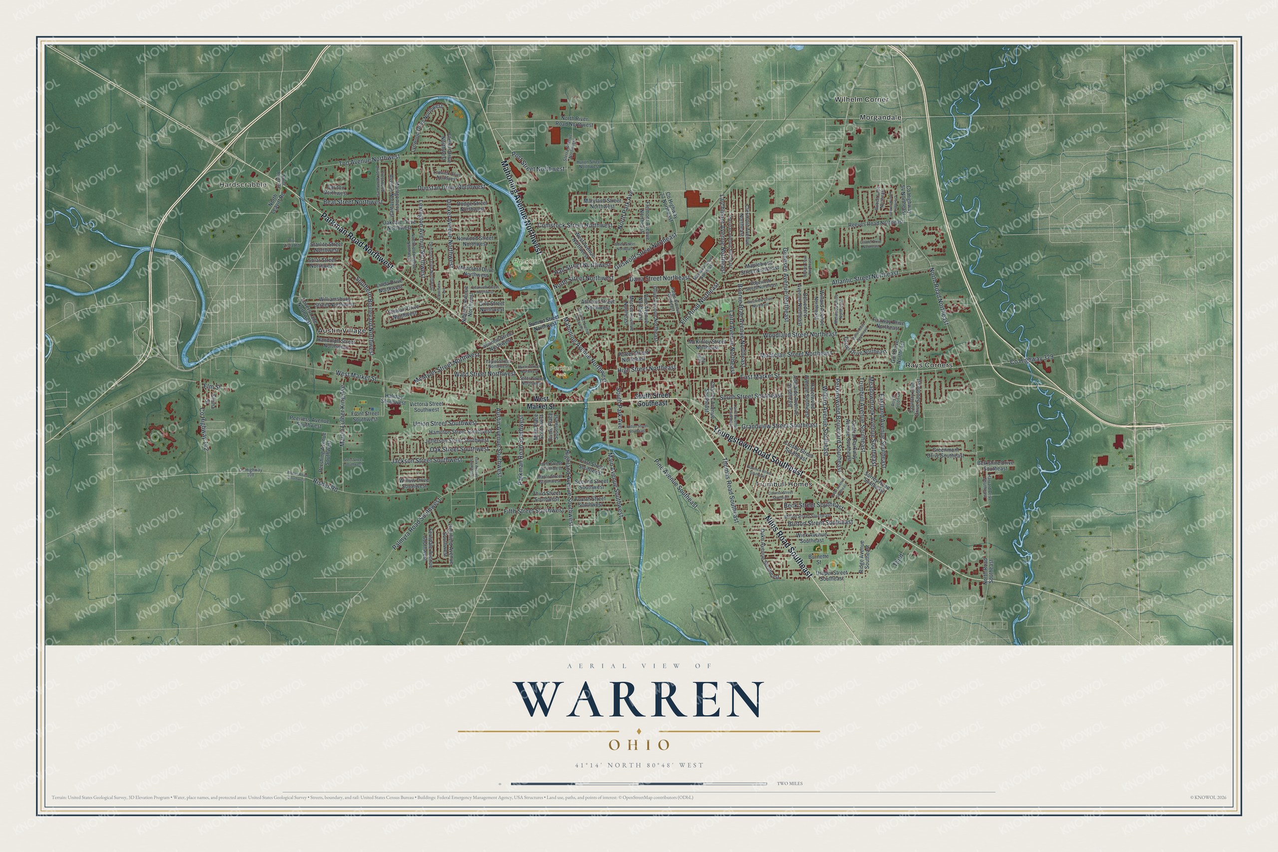
Created by KNOWOL in 2026, this Warren map fits a living room, an office or a den. The shaded hills come from USGS elevation data, and the buildings sit in deep red on soft green. The title panel reads "Aerial View of Warren, Ohio," with 41°14' North, 80°48' West and a two-mile scale bar.
It's a good gift for someone who grew up near Packard Park, moved away after school, or still has family in Trumbull County. Open the preview, zoom in and find the streets you know. See sizes and frames for the Warren map.