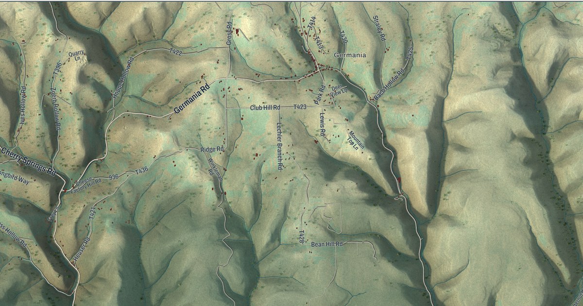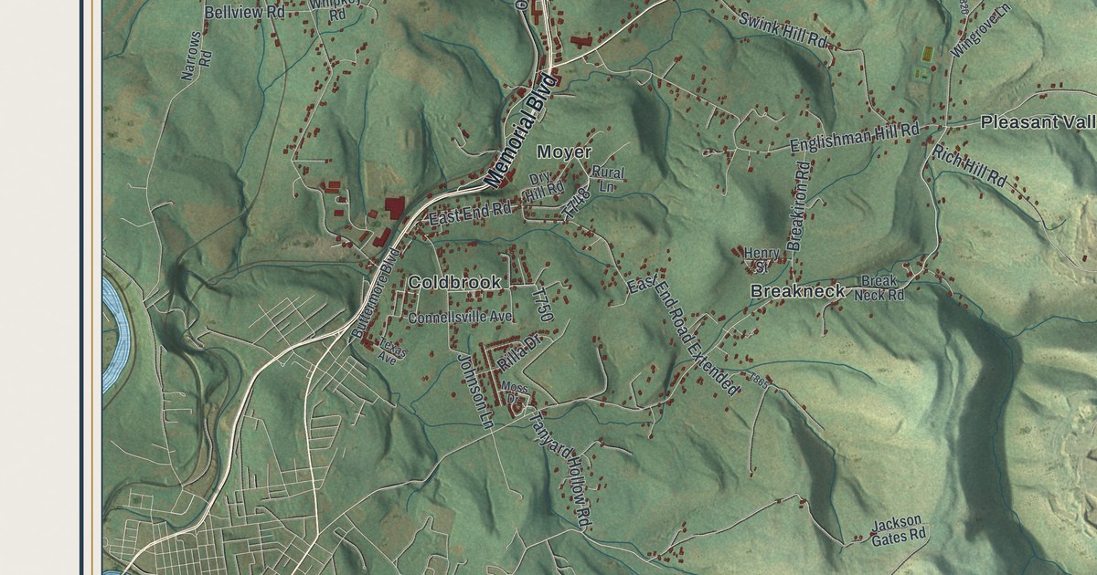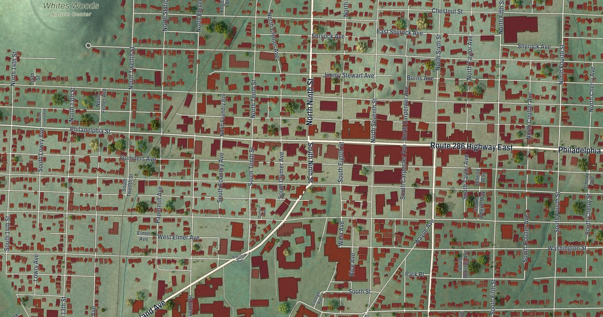
If you grew up in Indiana, went to Indiana University of Pennsylvania, or still have family near Philadelphia Street, this map gives you plenty to find. It's a modern aerial view of Indiana, the county seat of Indiana County, Pennsylvania, made from modern data with a vintage look. More than 4,000 buildings are drawn in deep red on soft green hills. Philadelphia Street runs straight across the middle, and the big campus buildings fill the blocks to the south.
From Ninth and Philadelphia Streets to Whites Woods
Start where North Ninth Street meets Philadelphia Street, near the middle of the sheet. Jimmy Stewart Avenue is printed just above that corner. Now head east on Philadelphia Street through the thickest blocks of red. At Sixth Street, South Sixth Street drops straight down to the bottom edge. Keep going east and the same road carries the Route 286 Highway East label toward the right side of the map.
Back at Ninth Street, Oakland Avenue angles off toward the lower left corner. The large red shapes between Oakland Avenue and South Sixth Street sit around Grant Street, Pratt Drive and West Glass Street. Past Grant Street, Grandview is printed in the lower right. Up in the top left corner, in the shaded hills, you'll find Whites Woods Nature Center. Many roads are labeled, and each red shape is a building, so zoom in on the preview and look for yours.
The rescue of Anthony Hollingsworth on Philadelphia Street
On June 26, 1845, slave hunters caught Anthony Hollingsworth in Indiana. He was 12 years old and had escaped from slavery. They held him in a hotel. Armed townspeople surrounded it and demanded that he be let go. That meant defying federal law. Then Judge Thomas White freed the boy in the old courthouse. A state historical marker at Sixth and Philadelphia Streets tells the story. It stands on the spot where that courthouse was. On the map, find where South Sixth Street meets Philadelphia Street, and you're there.
Another marker says Indiana was laid out in 1805. The land was given by George Clymer, who signed the Declaration of Independence. A third marker stands three blocks west, at Ninth and Philadelphia Streets. It honors Jimmy Stewart, who was born and raised in this town. He starred in "It's a Wonderful Life" and won an Academy Award for "The Philadelphia Story." He also flew 20 combat missions in World War II. The avenue printed with his name sits just north of that corner.
For anyone who knows Philadelphia Street and Oakland Avenue
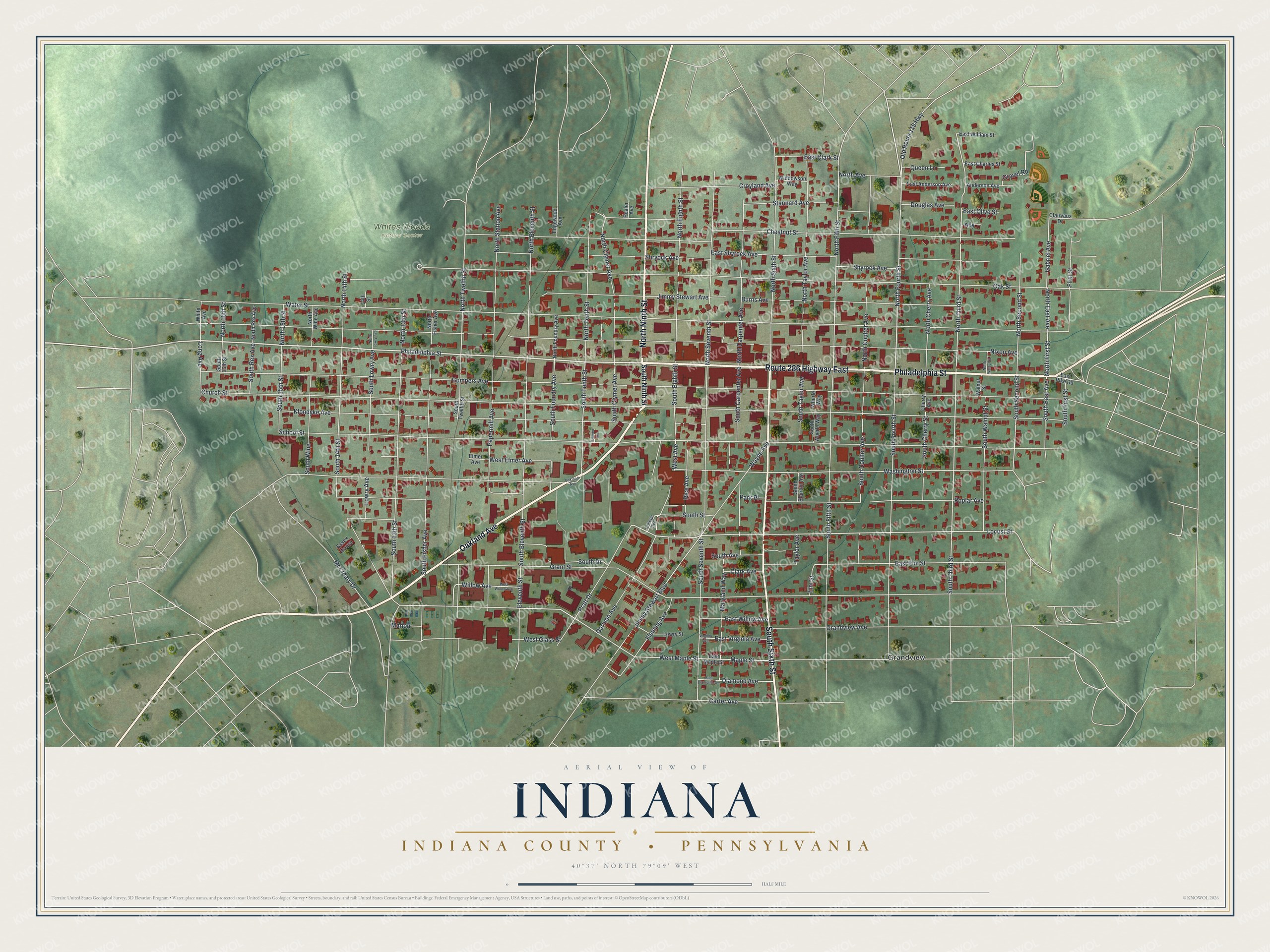
Created by KNOWOL in 2026, this Indiana map shows the borough and the hills around it, with buildings in deep red and the land shaded from USGS elevation data. The title panel reads "Aerial View of Indiana, Indiana County, Pennsylvania," with the coordinates 40°37' North, 79°09' West and a half-mile scale bar.
Hang it in an office, a den or a front hall. It makes a thoughtful gift for someone who went to Indiana University of Pennsylvania, or for anyone who grew up in Indiana and moved away. Open the preview, start at Ninth and Philadelphia and find your street. See sizes and frames for the Indiana, Indiana County map.