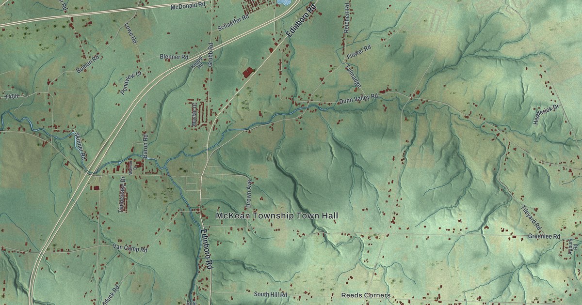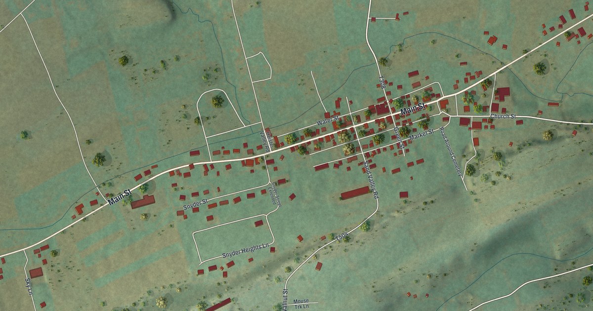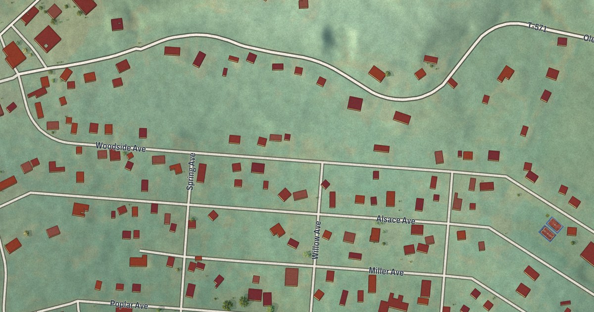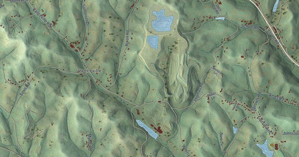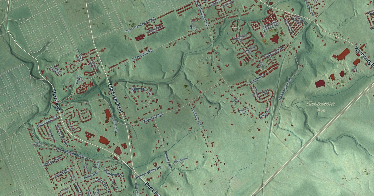
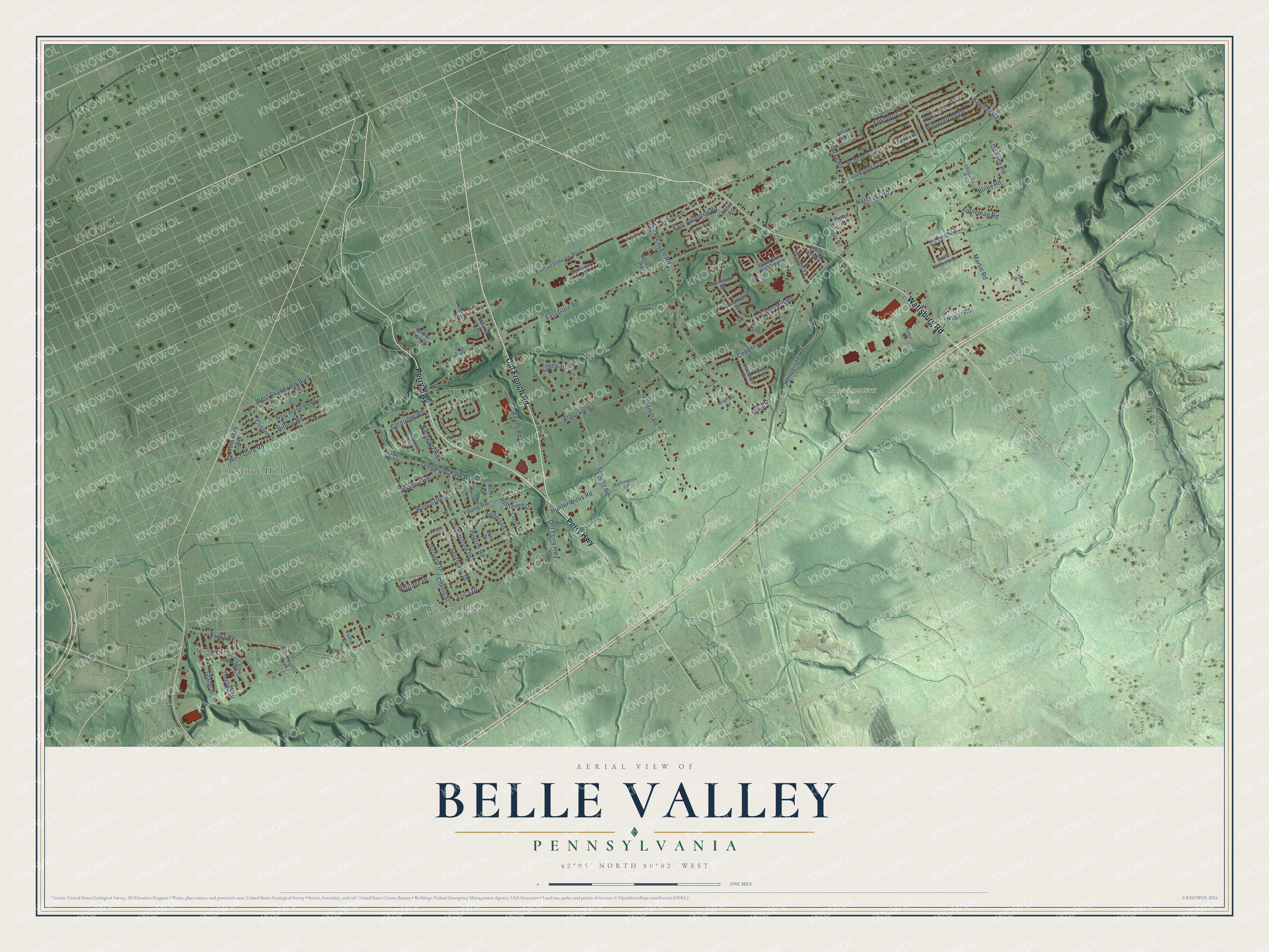
This beautifully detailed map of Belle Valley, Pennsylvania was created in 2026 using aerial imagery combined with modern topographical, census, street and landmark data. It’s a one-of-a-kind view of Belle Valley that combines accurate data with a vintage aesthetic. The map shows every building in its true location, many of the roads carry their names, and the shaded topographic relief shows the shape of the land.
Explore an aerial view of Belle Valley, Pennsylvania
On the map you’ll find Headwaters Park, Kearsarge, Weber Hills, and Chestnut Hill, along with Old French Road, Wattsburg Road, Perry Highway, Courtland Drive, Old Perry Highway, Clinton Drive, Schultz Road, Erica Drive, and more. If you look closely you can even find your house accurately drawn in its correct location. Zoom in on the preview to look for yours.
Did You Know?
From Internet Archive: "Mill Creek has no incorporated town, and no settlement of much importance, Belle Valley and Kearsarge being the largest."
Belle Valley is a community in Erie County.
Take a closer look at the Belle Valley map
Names on this map
These names are printed on this map.
Places: Headwaters Park, Kearsarge, Weber Hills and Chestnut Hill.
Streets and roads: Old French Road, Wattsburg Road, Perry Highway, Courtland Drive, Old Perry Highway, Clinton Drive, Schultz Road, Erica Drive, Cobblestone Drive, Hillhaven Drive, East Gore Road, Lake Pleasant Road.
More street names, A to Z
Access Road, Amy Avenue, Anderson Drive, Applejack Drive, Appleman Road, Arbuckle Road, Arden Road, Asheboro Drive, Beach Avenue, Belleview Drive, Bliley Road, Brooksboro Drive, Chadwick Road, Cherry Street, Cider Mill Apartment, Cider Mill Road, Conrad Road, Copper Drive, Crest Drive, Dawson Road, Delphos Drive, Doris Drive, East Arlington Road, East Grandview Boulevard, Edgewater Circle, Evans Road, Ferrick Drive, Footmill Road, Foxboro Court, Garnet Drive, Gatesmill Drive, Glade Drive, Glenridge Road, Glenview Drive, Glenwood Park Avenue, Harbor View Drive, Henderson Road, Heritage Drive, Hillock Drive, Hilltop Road, Home Road, Hunter Willis Road, Intrepid Drive, Jonathan Drive, Koehler Road, Kuntz Road, Martin Road, Martinwood Lane, Millcrest Road, Montmarc Drive, Nickel Drive, Niemeyer Road, Norcross Road, Penelec Park Drive, Pepper Tree Drive, Pilgrim Road, Pinehurst Drive, Platinum Drive, Pobie Drive, Quirk Road, Ripley Drive, Rome Drive, Roslindale Avenue, Saint Andrew Drive, Schrimper Road, Shepard Drive, Silver Drive, Southland Drive, State Street, Tomart Drive, Treetop Drive, Valley View Drive, Victoria Way, Wager Road, Washington Avenue, West 54th Street, West 57th Street, West Arlington Road, West Gore Road, West Grandview Boulevard, Wilshire Road, Wintergreen Drive, Woodward Drive, Young Road, Zenith Drive.
See it on a wall
The Belle Valley map as a framed print. Swipe for more.


This beautifully detailed map of Belle Valley makes an attractive addition to your office, library, or den, and it can even be used to teach children the geography and history of the area. It also makes a great gift for someone who left Belle Valley and still calls it home. When you’re done exploring, click here to get your copy of the Belle Valley map.