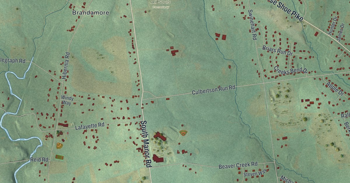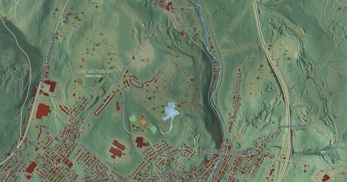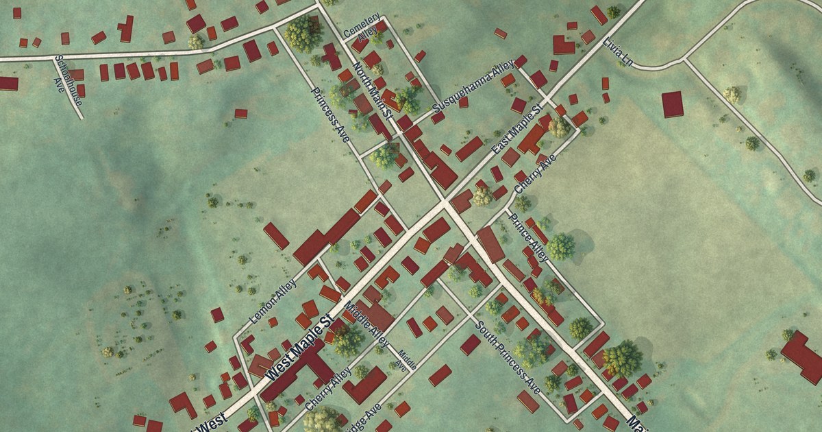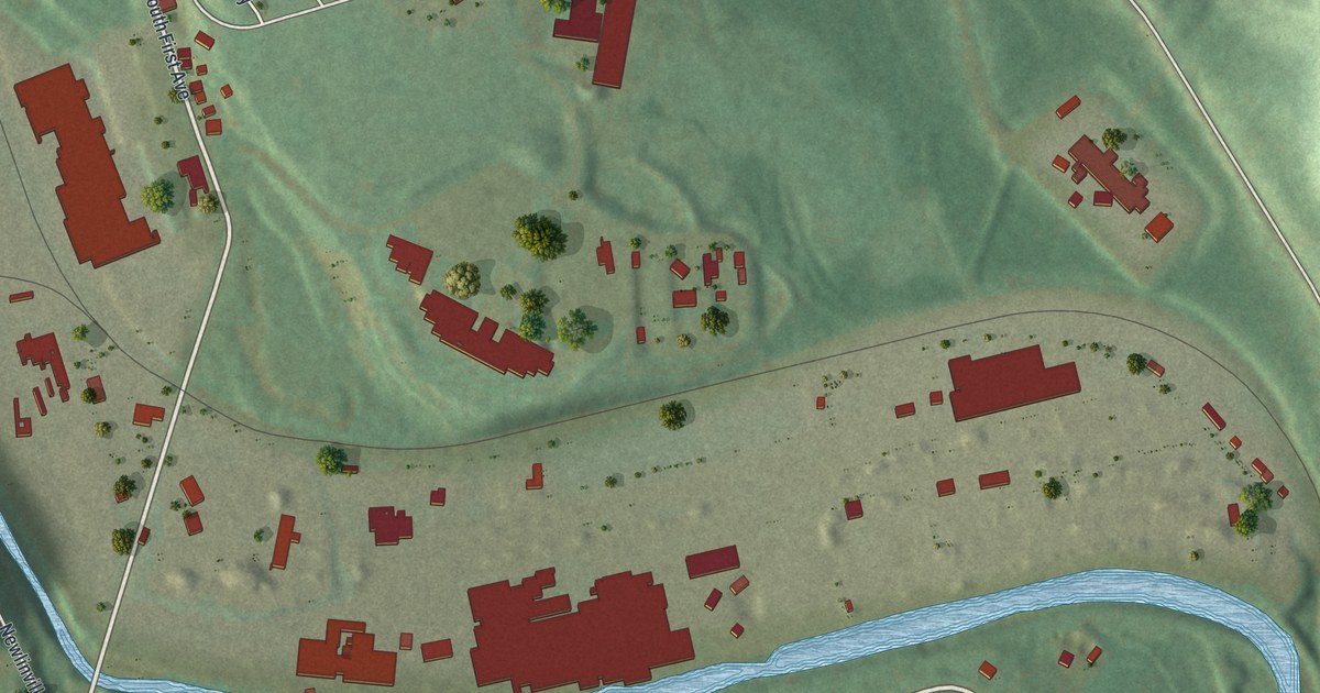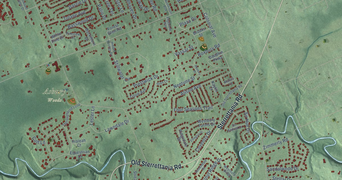
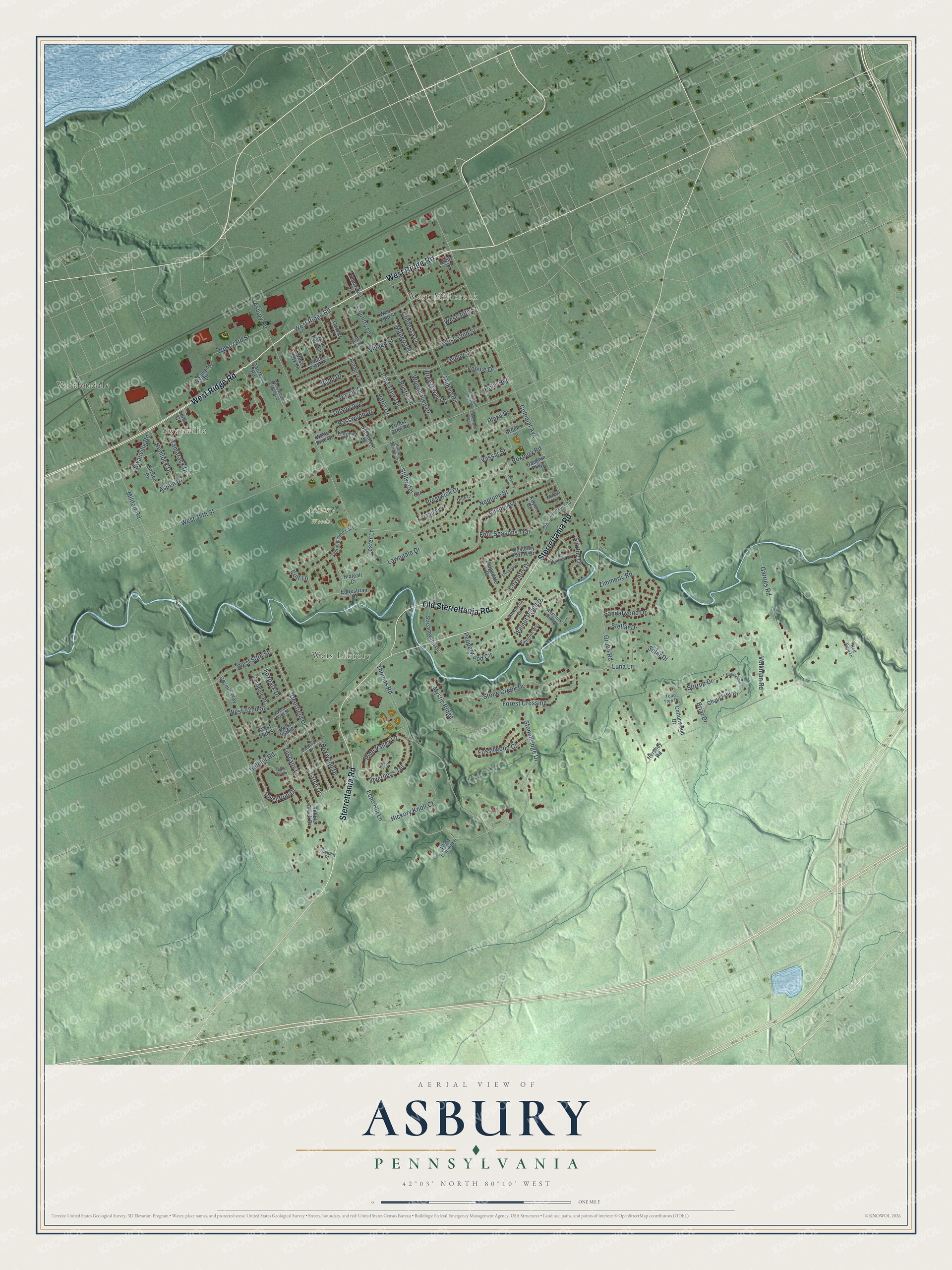
This beautifully detailed map of Asbury, Pennsylvania was created in 2026 using aerial imagery combined with modern topographical, census, street and landmark data. It’s a one-of-a-kind view of Asbury that combines accurate data with a vintage aesthetic. The map shows every building in its true location, many of the roads carry their names, and the shaded topographic relief shows the shape of the land.
Explore an aerial view of Asbury, Pennsylvania
On the map you’ll find Swanville, West Millcreek, Weis Library, Asbury Woods, and Vernondale, along with West Ridge Road, Sterrettania Road, Old Sterrettania Road, Deerfield Drive, Larch Drive, Stonebridge Drive, Echo Hill Lane, and more. If you look closely you can even find your house accurately drawn in its correct location. Zoom in on the preview to look for yours.
Did You Know?
From Internet Archive: "Zeigler joined the Nolan Methodist church in Elizabeth township, Westmoreland county, and when he settled in Pittsburg became a member of the Asbury chapel."
Asbury is a community in Erie County.
Take a closer look at the Asbury map
Names on this map
These names are printed on this map.
Places: Swanville, West Millcreek, Weis Library, Asbury Woods and Vernondale.
Streets and roads: West Ridge Road, Sterrettania Road, Old Sterrettania Road, Deerfield Drive, Larch Drive, Stonebridge Drive, Echo Hill Lane, Sir Hue Drive, Millfair Road, West 38th Street, Asbury Road, Colonial Avenue.
More street names, A to Z
Abington Way, Alison Avenue, Annendale Drive, Aspen Drive, Basswood Drive, Boxwood Drive, Breezeway Drive, Briar Drive, Brooks Street, Buckthorn Drive, Budd Drive, Cardinal Drive, Chapel Hill Drive, Colt Lane, Contessa Lane, Cosmic Way, Cottonwood Drive, Country Lane, Coventry Drive, Darcie Drive, Dauphin Parkway, Dion Court, East Park Lane, Eddy Drive, Edgebrook Way, Ellington Drive, Equestrian Drive, Feidler Drive, Ferndale Place, Forest Crossing, Forest Glen Road, Fossilwood Court, Four Seasons Trail, Foxpark Drive, Ganzer Lane, Ganzer Road, Garries Road, Grubb Road, Heidler Road, Hemlock Drive, Hershey Road, Hialeah Court, Hickory Knoll Court, Hidden Lane, Hidden Springs Drive, Holly Rue, Inverness Terrace, Kaylin Court, Lawndale Drive, Lena Court, Lester Lane, Lorna Lane, Luna Lane, Madeira Drive, Marcia Lane, McKee Road, Mystic Ridge, Neptune Street, Patio Drive, Pebble Creek Drive, Pepperwood Circle, Pine Tree Terrace, Pine Valley Lane, Pineview Court, Plaza Drive, Prestwick Drive, Red Pine Lane, Ridgedale Drive, River Run Drive, Roxbury Place, Roxbury Road, Rustic Lane, Saddlehorn Drive, Sandalwood Drive, Scioto Court, Sherwood Drive, Sir Andred Drive, Solar Drive, South Park Lane, Spruce Drive, Stellar Drive, Stillwater Circle, Stirrup Drive, Stone Creek Drive, Stone Run Drive, Streamwood Drive, Summit Place, Swanville Road, Tamarack Drive, Thomas Road, Thoroughbred Loop, Troon Avenue, Tulane Avenue, Tulip Tree Drive, Tuscany Lane, Vassar Street, Venice Drive, Village Street, Volkman Road, Walnut Ridge Drive, Wegmans Drive, West 23rd Street, West 28th Street, West 30th Street, West 32nd Street, West 50th Street, West 52nd Street, West 53rd Street, West 54th Street, West 55th Street, Westbury Farms Drive, Westbury Ridge, Westminster Boulevard, West Park Lane, Westwood Estates Drive, White Pine Drive, Wind Chime Lane, Woodhaven Drive, Zimmerly Road.
See it on a wall
The Asbury map as a framed print. Swipe for more.


This beautifully detailed map of Asbury makes an attractive addition to your office, library, or den, and it can even be used to teach children the geography and history of the area. It also makes a great gift for someone who left Asbury and still calls it home. When you’re done exploring, click here to get your copy of the Asbury map.