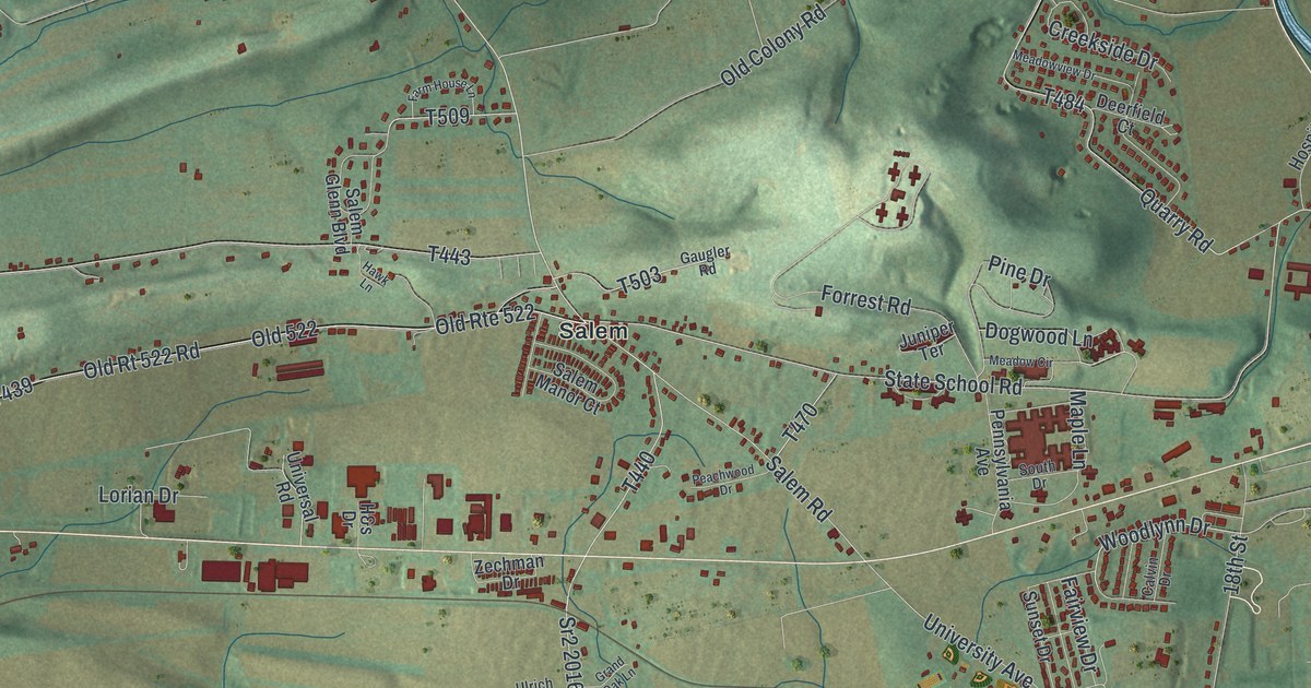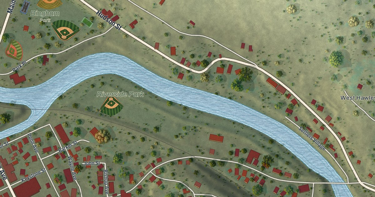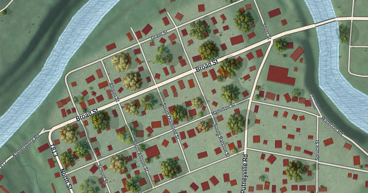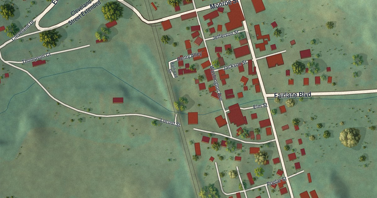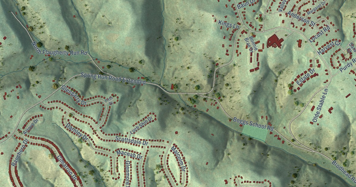
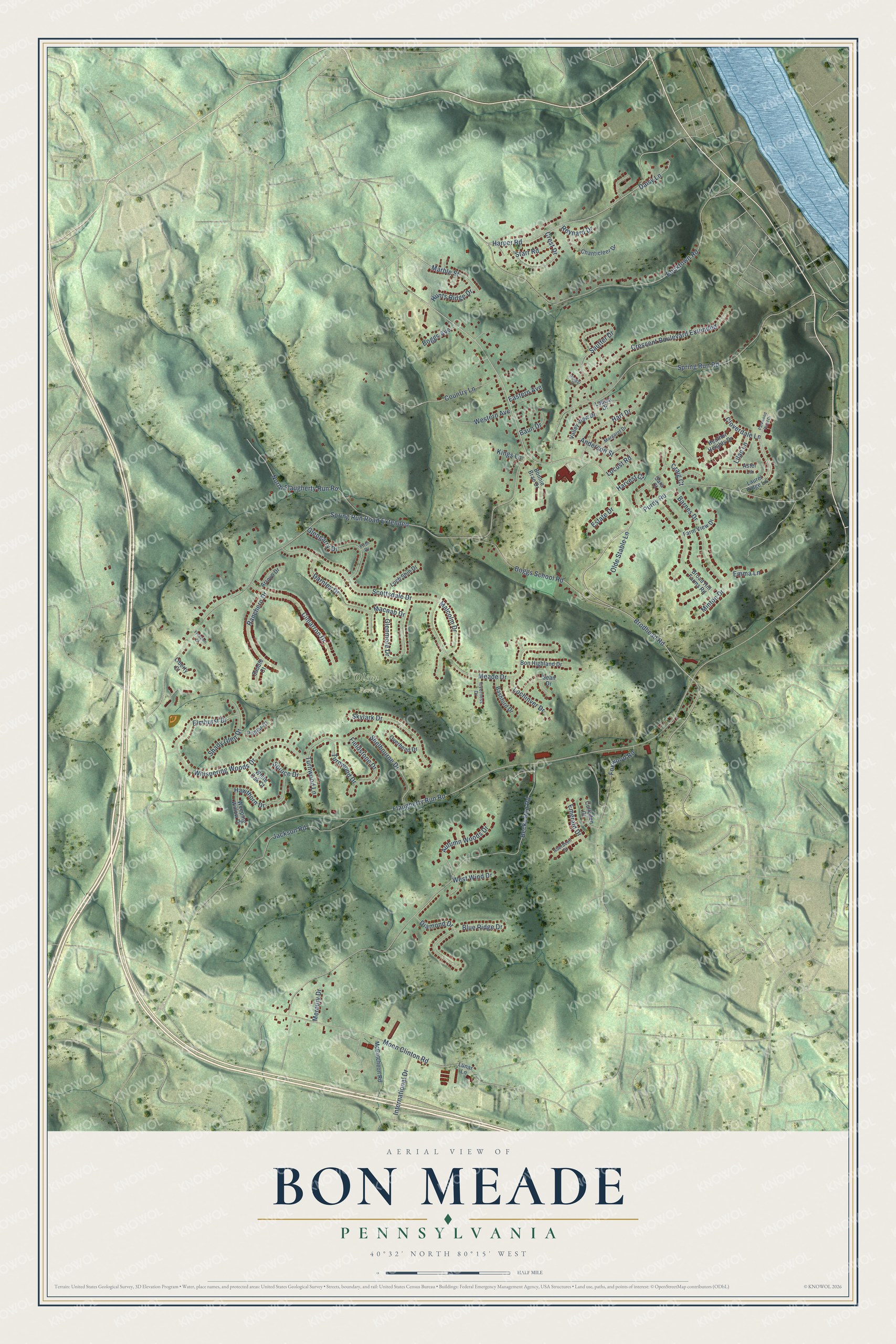
This beautifully detailed map of Bon Meade, Pennsylvania was created in 2026 using aerial imagery combined with modern topographical, census, street and landmark data. It’s a one-of-a-kind view of Bon Meade that combines accurate data with a vintage aesthetic. The map shows every building in its true location, many of the roads carry their names, and the shaded topographic relief shows the shape of the land.
Explore an aerial view of Bon Meade, Pennsylvania
On the map you’ll find Olson Park and Spring Run Road Extended, along with Brodhead Road, Scottsdale Drive, Harper Road, Malcolm Drive, Marble Street, Flaugherty Run Road, Becks Run Road, Spring Run Road, Bocktown Road, Moon Clinton Road, and more. If you look closely you can even find your house accurately drawn in its correct location. Zoom in on the preview to look for yours.
Take a closer look at the Bon Meade map
Names on this map
These names are printed on this map.
Places: Olson Park.
Streets and roads: Brodhead Road, Scottsdale Drive, Harper Road, Malcolm Drive, Marble Street, Flaugherty Run Road, Spring Run Road Extended, Becks Run Road, Spring Run Road, Bocktown Road, Moon Clinton Road, Meade Drive.
More street names, A to Z
Aberdeen Court, Anderson Street, Arroyo Drive, Aster Lane, Autumn Woods Drive, Barnes Drive, Bashford Drive, Baun Drive, Blue Ridge Drive, Boggs Avenue, Boggs School Road, Bon Highland Drive, Bonnie Brae Drive, Broad Hill Farms Road, Chanticleer Drive, Cimarron Drive, Cloverdale Lane, Country Lane, Craig Court, Crescent Boulevard Extended, Crest Drive, Culloden Court, Daisy Lane, Darnley Drive, Diamond Drive, Eastern Avenue, Elmhurst Drive, Emerald Drive, Emma Lane, Estate Drive, Farm View Drive, Fieldstone Drive, Firth Drive, Foxwood Road, Freedom Court, Glengarry Drive, Glenmore Drive, Hart Drive, Harvest Court, Hawthorn Drive, Heather Heights Drive, Henggi Drive, Hunts Ridge Drive, International Drive, Inverness Drive, Jackson Road, Kings Lane, Laurel Ridge Lane, Liberty Court, Lilac Lane, Lochinver Drive, Loch Shin Drive, Locust Road, Louisa Drive, Lunar Lane, Macnab Drive, Margaret Drive, McCutcheon Road, Mercury Drive, Minton Drive, North Flaugherty Run Road, Olde Stable Lane, Overhead Drive, Parkwood Point Drive, Poplar Court, Purdy Road, Ranchero Drive, Reynard Drive, Saddle Court, Sara Court, Sautter Drive, Sean Drive, Shady Glen Drive, Shelbourne Drive, Skylark Drive, Spruce Drive, Starr Road, Turnwood Drive, Turnwood Lane, Valley View Drive, Weeping Willow Drive, Western Avenue, West Wind Drive, Whispering Woods Drive, White Oak Court.
See it on a wall
The Bon Meade map as a framed print. Swipe for more.


This beautifully detailed map of Bon Meade makes an attractive addition to your office, library, or den, and it can even be used to teach children the geography and history of the area. It also makes a great gift for anyone with Bon Meade roots. When you’re done exploring, click here to get your copy of the Bon Meade map.