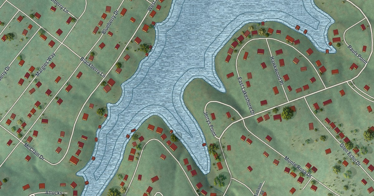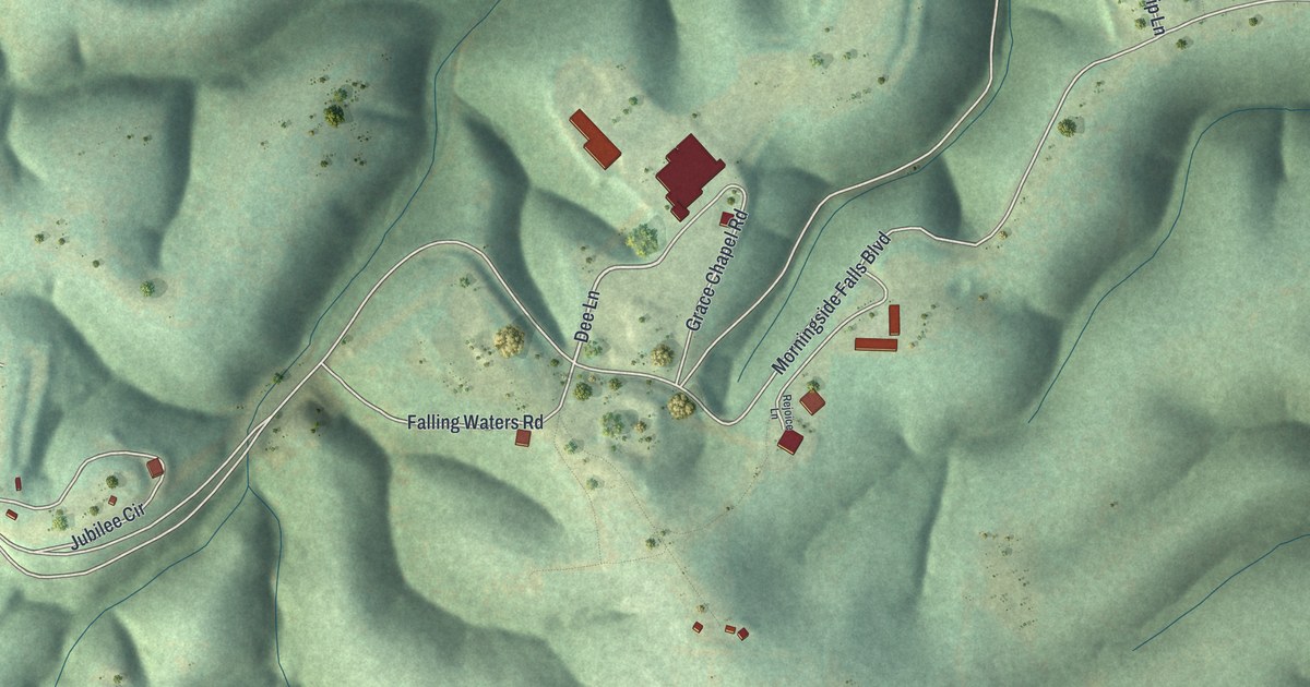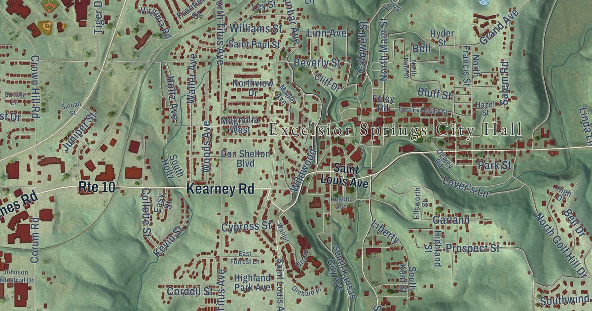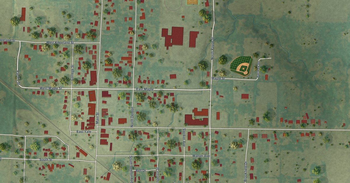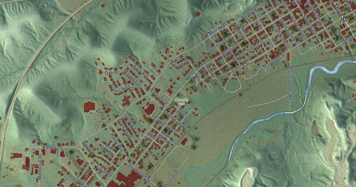
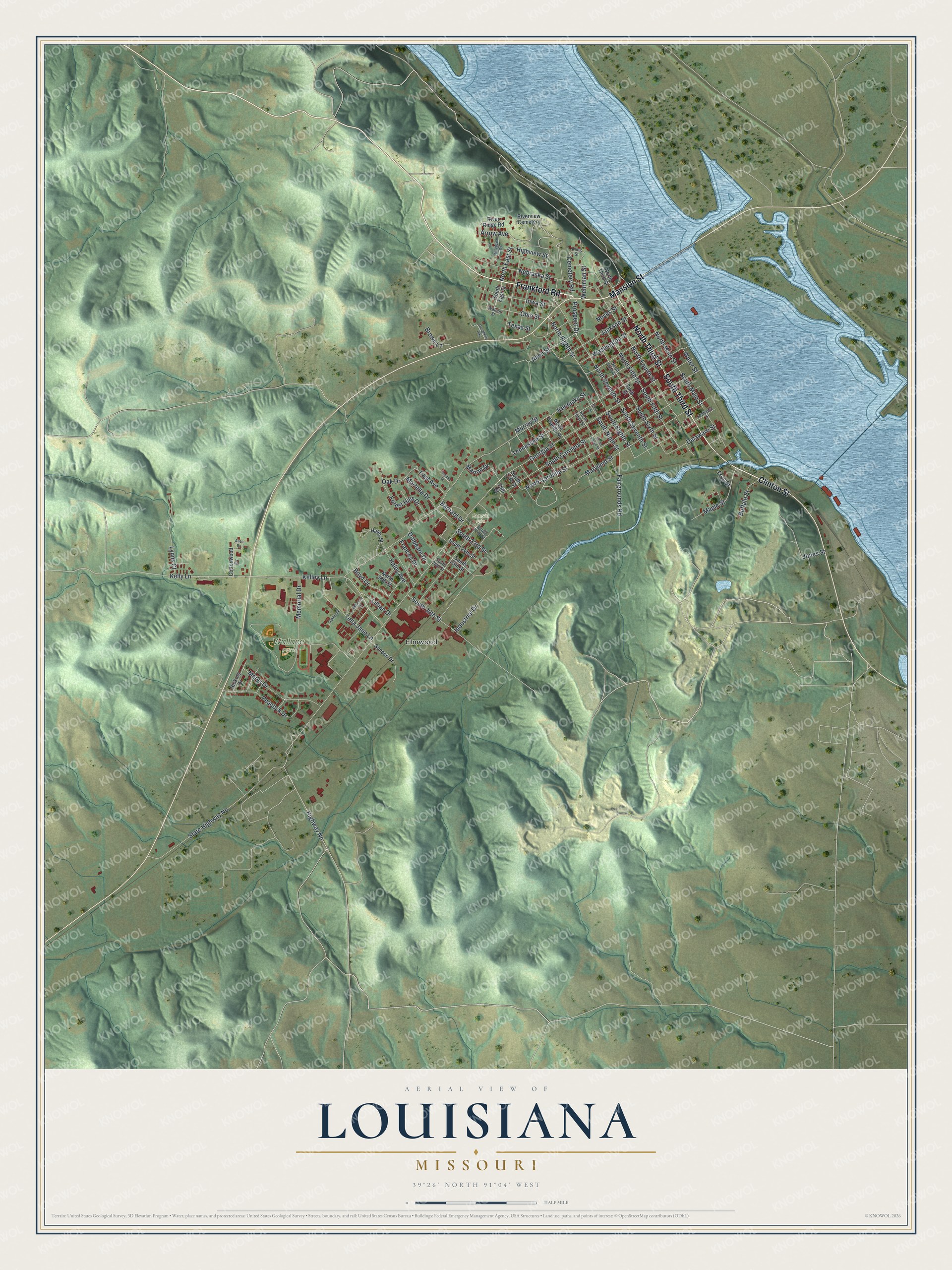
This beautifully detailed map of Louisiana, Missouri was created in 2026 using aerial imagery combined with modern topographical, census, street and landmark data. It’s a one-of-a-kind view of Louisiana that combines accurate data with a vintage aesthetic. The map shows every building in its true location, many of the roads carry their names, and the shaded topographic relief shows the shape of the land.
Explore an aerial view of Louisiana, Missouri
On the map you’ll find Elmwood, Wallace Park, and Sunset Park, along with Mansion Street, South Third Street, North Third Street, Frankford Road, Clinton Street, Murray Street, North Eighth Street, Ohio Street, North Fourth Street, and more. If you look closely you can even find your house accurately drawn in its correct location. Zoom in on the preview to look for yours.
Did you know this piece of Louisiana, Missouri history?
John Walter Basye founded the town in 1816 and named it for his daughter, Louisiana Basye. Shipping on the Mississippi River made the town wealthy. That money built many large homes before the Civil War, and many of them still stand.
Take a closer look at the Louisiana map
Street and place names on the Louisiana, Missouri map
These names are printed on the map of Louisiana, Missouri.
Places: Elmwood, Wallace Park, Sunset Park and Riverview Cemetery.
Streets and roads: Mansion Street, South Third Street, North Third Street, Frankford Road, Clinton Street, Murray Street, North Eighth Street, Ohio Street, North Fourth Street, South Eighth Street, South Carolina Street, Marion Drive.
More street names, A to Z
19th Street, Alabama Street, Allen Drive, Allen Street, Arrow Avenue, Barnard Drive, Boyd Drive, Brown Lane, Buffalo Street, Cemetery Road, Cottonwood Drive, Delaware Street, Dolbeare Drive, Dougherty Pike, East Avenue, Fairgrounds Road, Forest Hills Drive, Frances Drive, Georgia Street, Haley Avenue, Haley Street, Hayden Drive, Hickory Drive, Highview Street, Highway Nn, Hillview Drive, Industrial Drive, Iowa Street, Jackson Street, Jones Street, Kelley Lane, Kelly Lane, Kentucky Street, Kling Street, Lillian Drive, Lynns Court, Maple Street, Martella Drive, Maryland Street, Marys Drive, Memorial Drive, Nebraska Street, Ninth Street, North 30th Street, North Carolina Street, North East Street, North Fifth Street, North Main Street, North Seventh Street, North Sixth Street, North Tenth Street, North Twelfth Street, Noyes Street, Oakbrook, Oak Drive, Peacock Drive, Prospect Drive, Rebecca Drive, River Ridge Road, Sixth Street, Sonoco Drive, South 17th Street, South 22nd Street, South 23rd Street, South 24th Street, South 25th Street, South 26th Street, South 30th Street, South East Street, South Fifth Street, South Main Street, South Ninth Street, South Seventh Street, South Sixth Street, South Tenth Street, State Highway Nn, Tella Jane Lane, Tennessee Street, Texas Street, Troy Street, Walnut Street, Washington Street, Water Street, Wehrman Street.
See the Louisiana, Missouri map on a wall
The Louisiana map as an 18 x 24 inch print in a black frame.

This beautifully detailed map of Louisiana makes an attractive addition to your office, library, or den, and it can even be used to teach children the geography and history of the area. It also makes a great gift for anyone with Louisiana roots. When you’re done exploring, click here to get your copy of the Louisiana map.