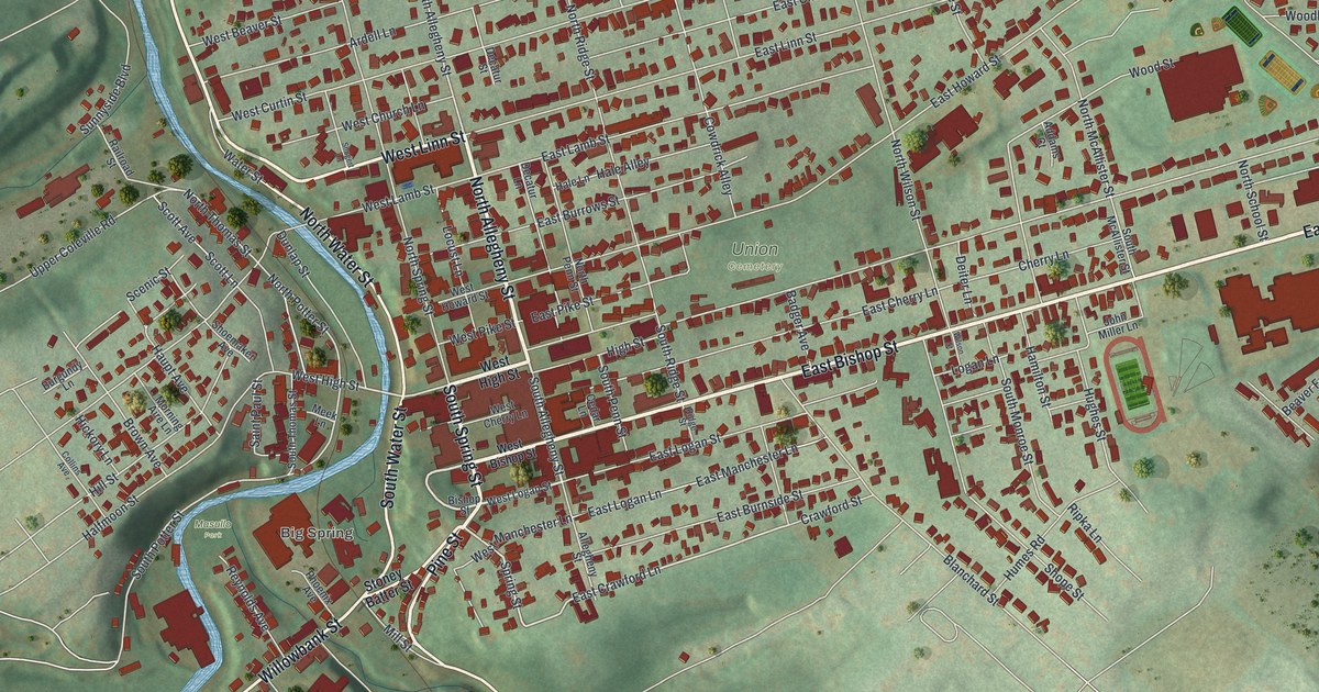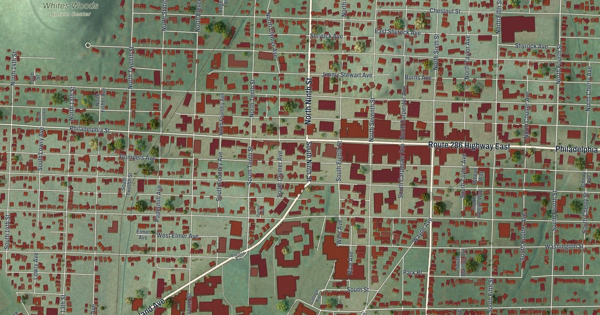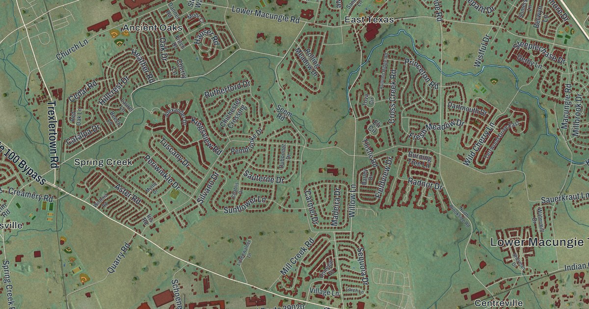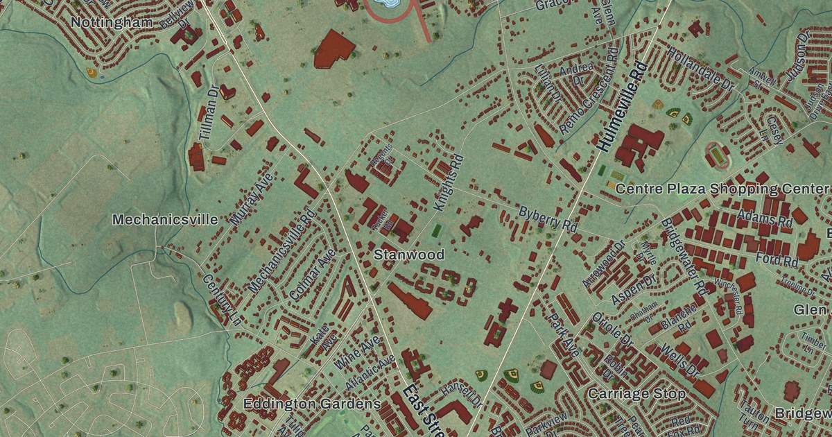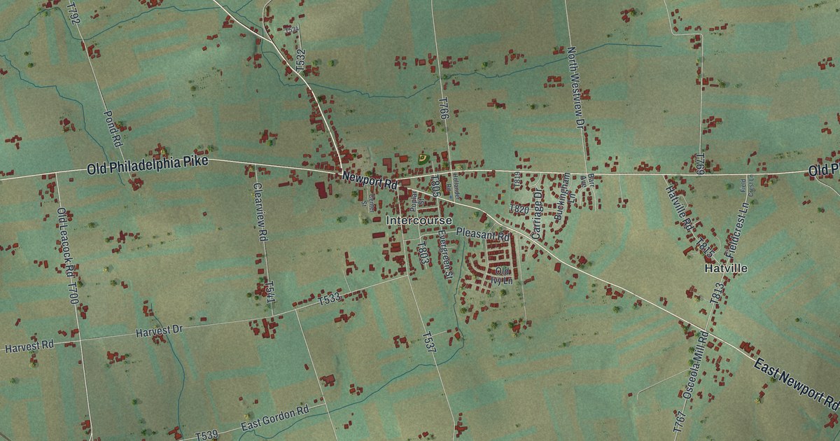
If you grew up in Intercourse or Gordonville, or you have family on a farm along Old Philadelphia Pike, this map has plenty for you to find. It's a modern aerial view of Leacock Township in Lancaster County, Pennsylvania, made from modern data and given a vintage look. More than 7,000 buildings are marked in deep red across soft green farm country. Intercourse sits right in the middle. Weavertown is to the west, Hatville is to the east, and Gordonville is down near the bottom.
From Intercourse to Hatville, Weavertown and Gordonville
Start at Intercourse in the middle of the sheet, where Newport Road meets Old Philadelphia Pike. Look for the tight cluster of red buildings. West Newport Road comes in from the upper left. East Newport Road leaves to the southeast. Follow it down past Hatville, where Hatville Road crosses. Keep going and you'll reach New Milltown near the bottom right corner, just above a winding blue creek.
Now go back to Intercourse and take Old Philadelphia Pike west to Weavertown. North Weavertown Road runs up from there, and South Weavertown Road runs down. Between the two villages, Old Leacock Road drops south off the pike to Concord and Gordonville. A straight rail line cuts through Gordonville on a slant. Irishtown sits off to the west on Irishtown Road. Up in the top left corner, Mascot sits beside another creek. Many roads are labeled, and each red shape is a building, so zoom in on the preview and look for yours.
How Cross Keys became Intercourse in 1814
The village in the middle wasn't always called Intercourse. Up to 1814, the spot was known as Cross Keys. The Cross Keys Tavern, first built of logs, was one of the oldest houses there. In 1814, a man named George Brungard bought about 48 acres on the north side of the old Philadelphia road and the Newport road. He split the land into 151 small lots, hoping a village would grow. Then he gave the lots out by lottery. The drawing was held on November 14, 1814, at the house of Hugh Urban in Lancaster. Only five houses stood on the land that day. Streets were laid out and named, and the new village was called Intercourse. The story comes from the 1883 History of Lancaster County, Pennsylvania. The same book says the Newport road was laid out in 1796. Before the railroads, much of the livestock brought from the West was driven along it. On the map, the lottery land is the corner above the spot where West Newport Road reaches Old Philadelphia Pike.
Down at the bottom of the sheet, the map prints both Concord and Gordonville, side by side. The old history explains that too. When the railroad came through, Daniel Gordon kept a warehouse and store on its west side. The part of the village east of the tracks was called Concord for a time. But the post office was named Gordonville, and bit by bit the name Concord was dropped. By 1883, Gordonville was a regular station with a ticket office and a freight office. Find the rail line on the preview, then look just above Gordonville for the Concord label.
For anyone who knows Intercourse and Gordonville
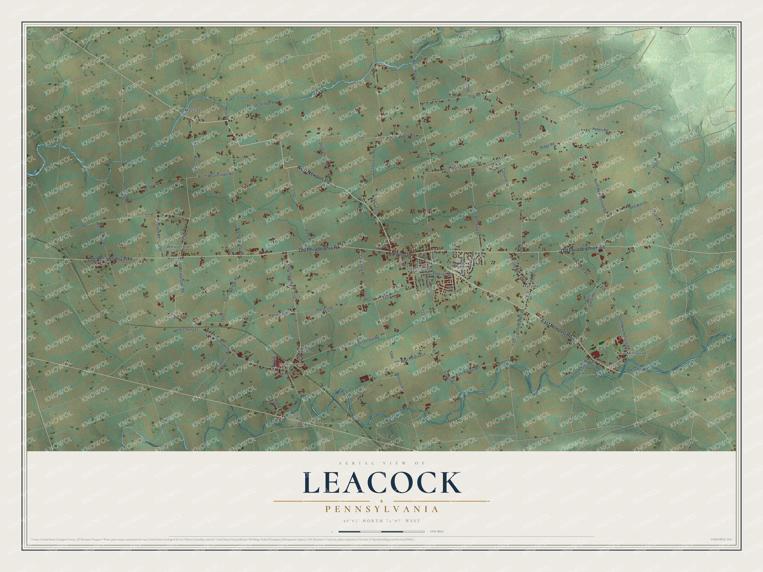
Created by KNOWOL in 2026, the Leacock print sets red farm buildings and blue creeks on gently shaded green land, with the terrain taken from USGS elevation data. Across the bottom, the title panel says "Aerial View of Leacock, Pennsylvania," gives the position as 40°02' North, 76°07' West, and carries a one-mile scale bar.
It fits a farmhouse kitchen, a den or an office, anywhere someone can stop and trace Newport Road home. It's a thoughtful gift for someone who grew up in Intercourse or Gordonville and moved away, or who still has family out by New Milltown. Open the preview, zoom in and find the farm lane you know. See sizes and frames for the Leacock map.