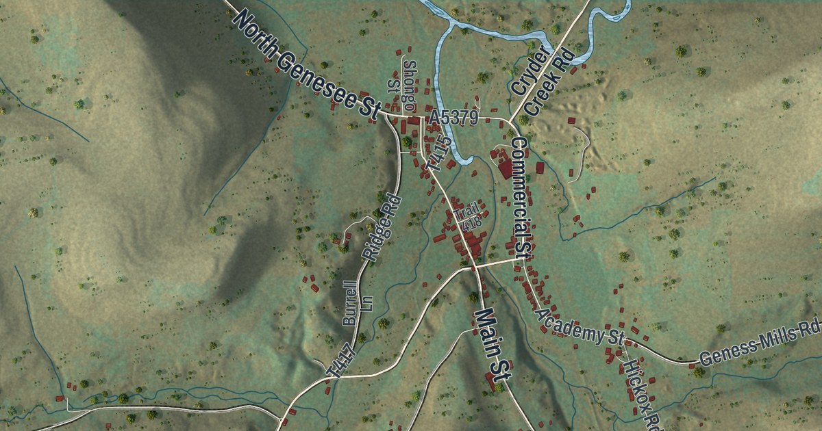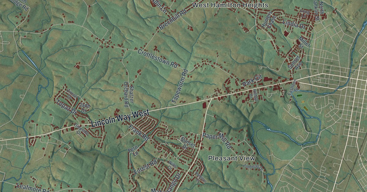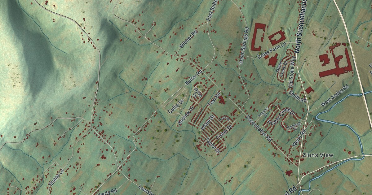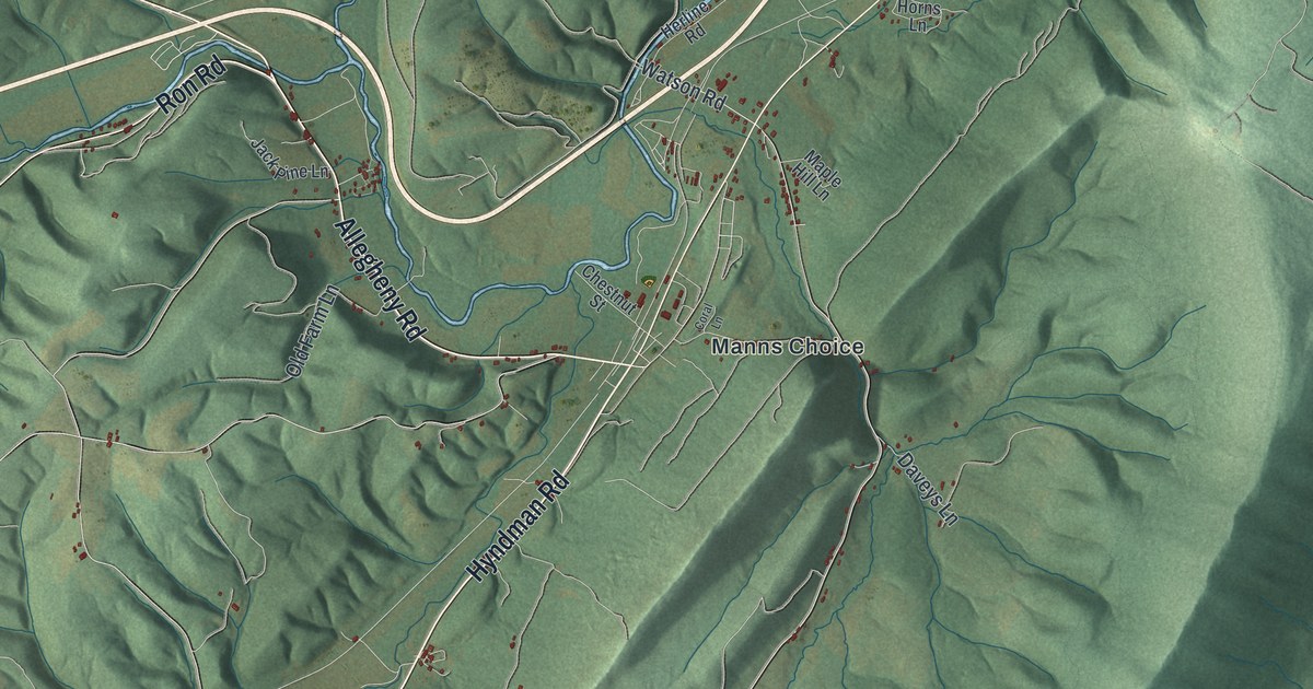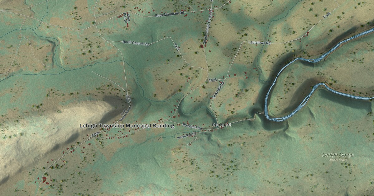
If you grew up near Rockport, have family along Leslie Run Road, or have spent days in Lehigh Gorge State Park, this map gives you plenty to find. It's a modern aerial view of Lehigh Township in Carbon County, Pennsylvania, made from modern data and given a vintage look. Shaded ridges run across the sheet from corner to corner, and a blue river winds down the right side. Homes and other buildings are marked in red along the country roads, from Leslie Run at the top to Penn Haven Junction at the bottom.
Rockport Road, Laurytown Road and Leslie Run
Start at the Lehigh Township Municipal Building in the middle of the sheet. Follow Rockport Road east to Rockport, with Indian Run Road just below it. From Rockport, Grist Mill Road runs north to Laurytown Road. Take Laurytown Road up toward the top right corner, where it meets Leslie Run Road. Decker Lane, Pump House Road, Walden Lane and Saw Mill Road all branch off Leslie Run Road there. Keep going and you'll reach Leslie Run and Mud Run, both named near the river.
Now head back west. Buck Mountain Road meets Leslie Run Road near the top of the sheet. Stage Coach Lane and White Pine Drive branch off Buck Mountain Road near the middle. Down in the bottom right corner, Penn Haven Junction sits where the river bends, below the Lehigh Gorge State Park label. Many of the roads are labeled, and each red shape is a building, so zoom in on the preview and look for yours.
How Rockport started as Laurytown in 1824
The History of Carbon County, printed in 1913, tells how Rockport began. In 1824, the Lehigh Coal and Navigation Company bought the timber on a tract the Moravians had owned. It built sawmills and homes for its workers on a high bluff. The settlement was called Laurytown. Logs were slid down the mountainside to the mills. The sawed lumber was rafted down the Lehigh to Mauch Chunk, and the raftsmen walked back. Canal workers later gave the place a louder name. It was known as "Grog Hollow" because of their drinking and carousing. The post office was called Laurytown, too, until it was renamed Rockport. Asa Packer ran that post office for a time, starting in 1836.
Coal came next. In 1840, the Buck Mountain Coal Company finished a railroad from Rockport to its mines, about five miles away. Asa L. Foster drove a tunnel 200 yards long through the mountain to the river. That November, the company sent its first boatload of coal to Philadelphia on the Lehigh Canal. About 100,000 tons a year left Rockport until 1862. That year a great flood washed the canal away. After that, Buck Mountain coal went to market by rail. The stone for the courthouse at Mauch Chunk was also cut near Rockport. Both old names are still on the map. Laurytown Road starts just north of Rockport, and Buck Mountain Road is printed near the top of the sheet.
For someone who knows Rockport and Leslie Run Road
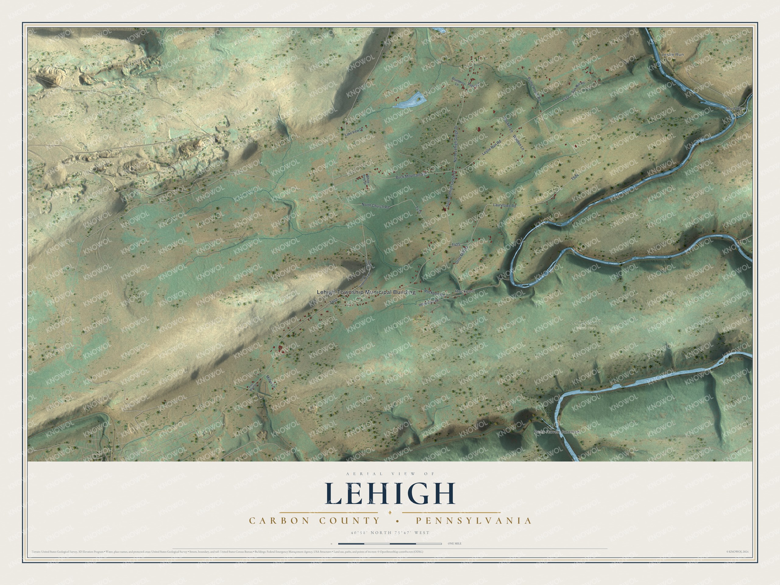
Created by KNOWOL in 2026, this Lehigh map shows the ridges and valleys in soft greens and tans, with a blue river winding down the right side and buildings marked in red. The shaded hills come from USGS elevation data. The title panel reads "Aerial View of Lehigh, Carbon County, Pennsylvania," with the coordinates 40°58' North, 75°47' West and a one-mile scale bar.
It suits a den, an office or a cabin wall. It's a thoughtful gift for someone who grew up near Rockport, has family along Leslie Run Road or moved away from Carbon County. Open the watermarked preview, zoom in and trace a road you know. See sizes and frames for the Lehigh, Carbon County map.