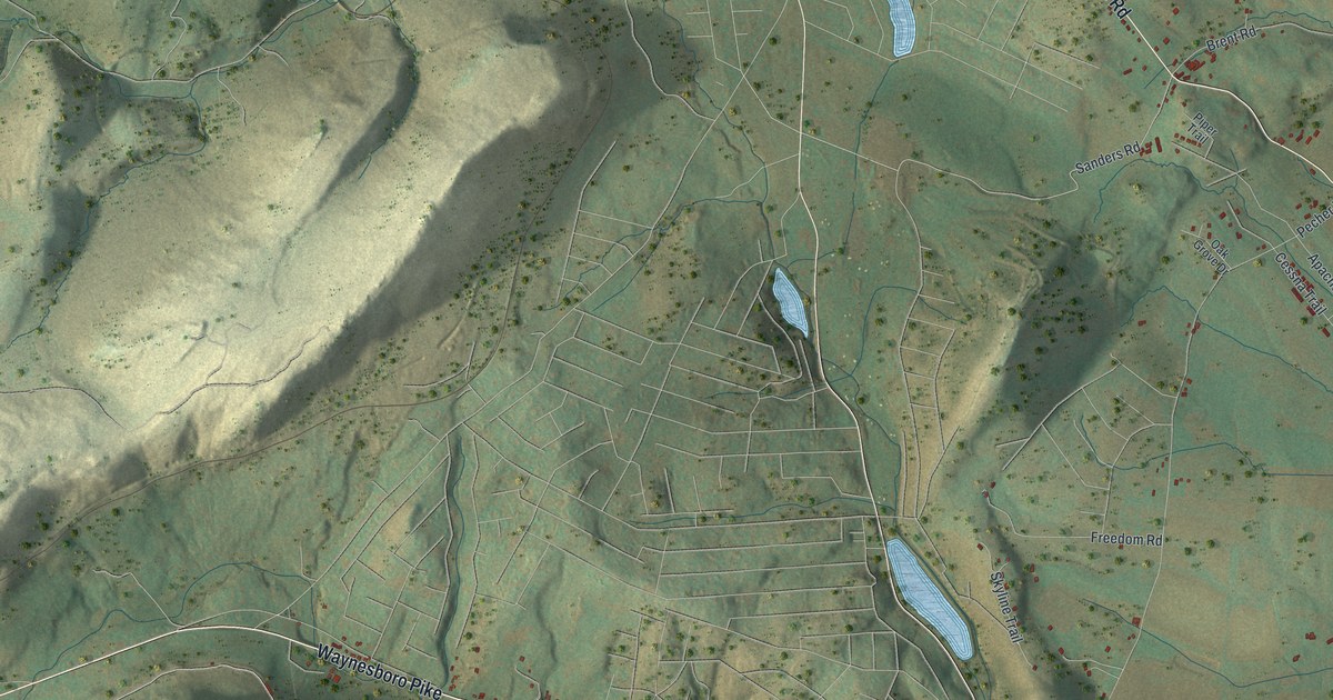
If you grew up off Tract Road or Waynesboro Pike, or still have family near Shanks Mill, this map gives you plenty to find. It's a modern aerial view of Liberty Township in Adams County, Pennsylvania, made from modern data and given a vintage look. Steep, pale ridges fill the left side of the sheet. Farms and homes spread across the gentler land to the right, with more than 4,000 buildings drawn in dark red. Three small blue lakes sit in a line down the middle.
Waynesboro Pike, Shanks Mill and Tract Road
Start at Shanks Mill, near the bottom of the map on Waynesboro Pike. Follow the Pike west. It bends up and to the left, past Cove Hollow Road, under the tall ridges. Out in the bottom left corner, Harbaugh Valley Road turns south off the Pike. Gladhill Road branches off it, and Staley Road runs off Gladhill. Many of the roads are labeled, and each red shape is a building, so zoom in on the preview and look for yours.
Now go back to Shanks Mill and head east on the Pike to Stouter. Orchard Road turns north there and meets Tract Road. Tract Road runs up the right side of the sheet, past Crum Road, Wenchoff Road and Pecher Road. Near the top it meets Sanders Road and Brent Road. Water Street comes down from the top and crosses Pumping Station Road. In the top right corner, Bullfrog Road leads to a small cluster of homes on Rist Trail, Kemp Trail and Sydnor Trail.
John Hanson Steelman and Steelman Marker Road
Steelman Marker Road climbs north from Waynesboro Pike. It meets Crum Road and Topper Road, and a plaque at that corner honors John Hanson Steelman. He lived from 1655 to 1749. His parents were Swedish, and he was born along the Delaware. He traded with Native Americans and worked as an interpreter for Maryland and Pennsylvania. The plaque calls him the first settler in this valley. The state put up the first marker for him in 1924. Liberty Township and the Fairfield Area Bicentennial Committee added the plaque in 1977. An older state marker once stood nearby too. It called him the first lasting white settler west of the Susquehanna.
The 1886 county history names the families who came later. The Toppers were among them, settling here in the late 1700s. That history counted seven Mason and Dixon mile stones in Liberty Township, on farms along the Maryland line. One stood on the old Savage farm, which Jacob Topper owned by then. Another stood in Adam Tresler's garden. The same history tells of a "hominy stone" close to the state line. Tradition says Native people pounded their hominy in it. Topper Road runs right past the Steelman plaque, so start there when you look.
For anyone from Shanks Mill, Stouter or Tract Road
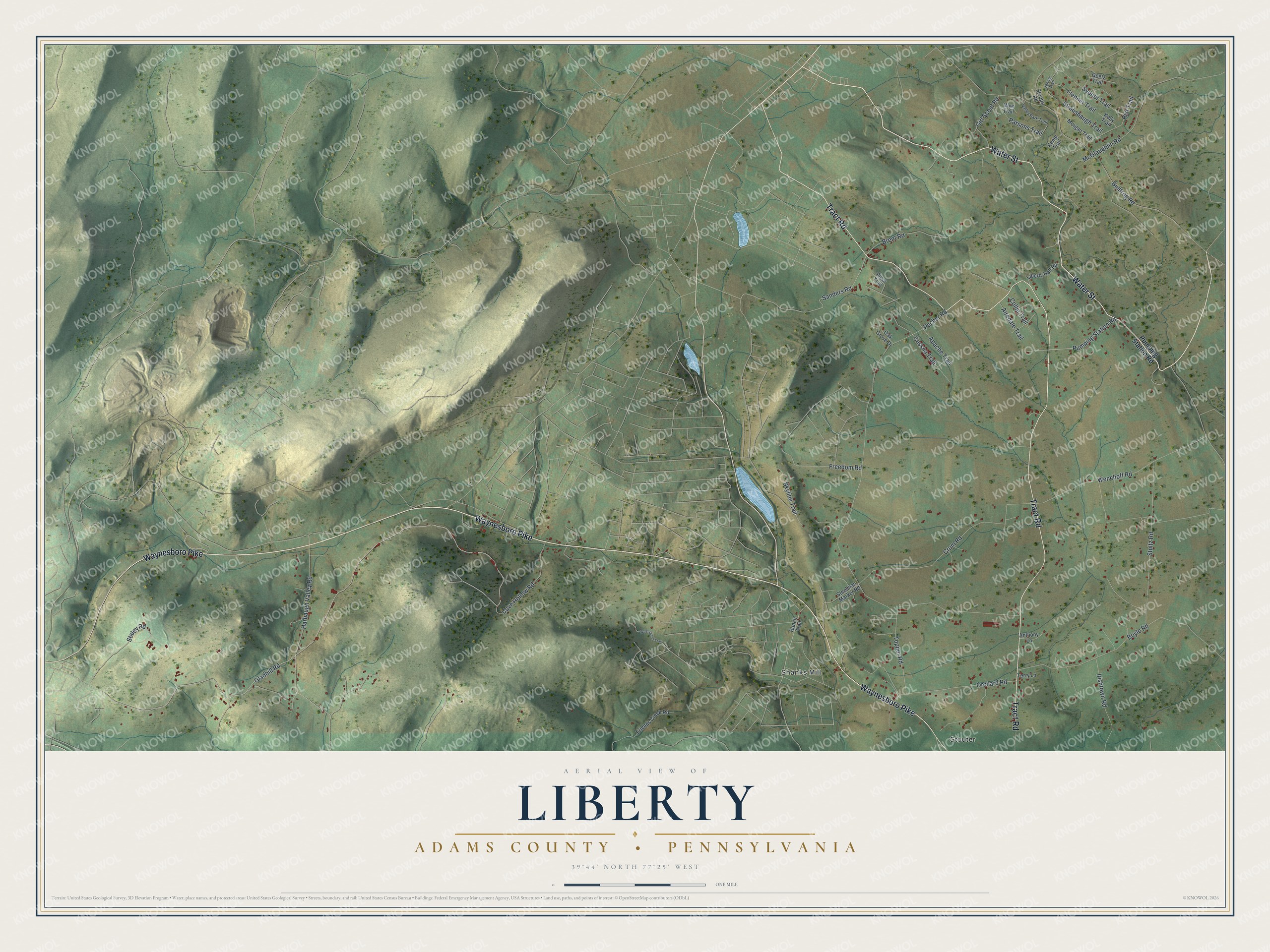
Created by KNOWOL in 2026, this Liberty Township map suits a den, an office or a cabin wall. The hills are shaded from USGS elevation data, so the steep ridges on the left stand out. The buildings are drawn in dark red. The title panel reads "Aerial View of Liberty" over "Adams County • Pennsylvania," with the coordinates 39°44' North 77°25' West and a one-mile scale bar.
It's a good gift for someone who grew up near Shanks Mill, has family out on Tract Road, or moved away from Adams County. Open the preview, zoom in and follow Waynesboro Pike to the roads you know. See sizes and frames for the Liberty, Adams County map.