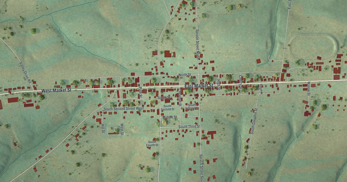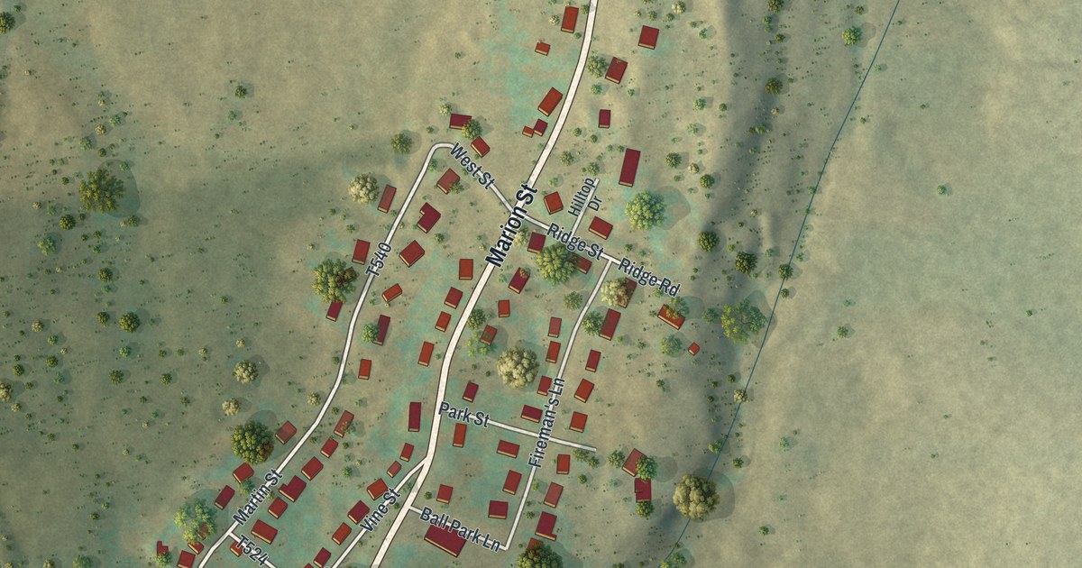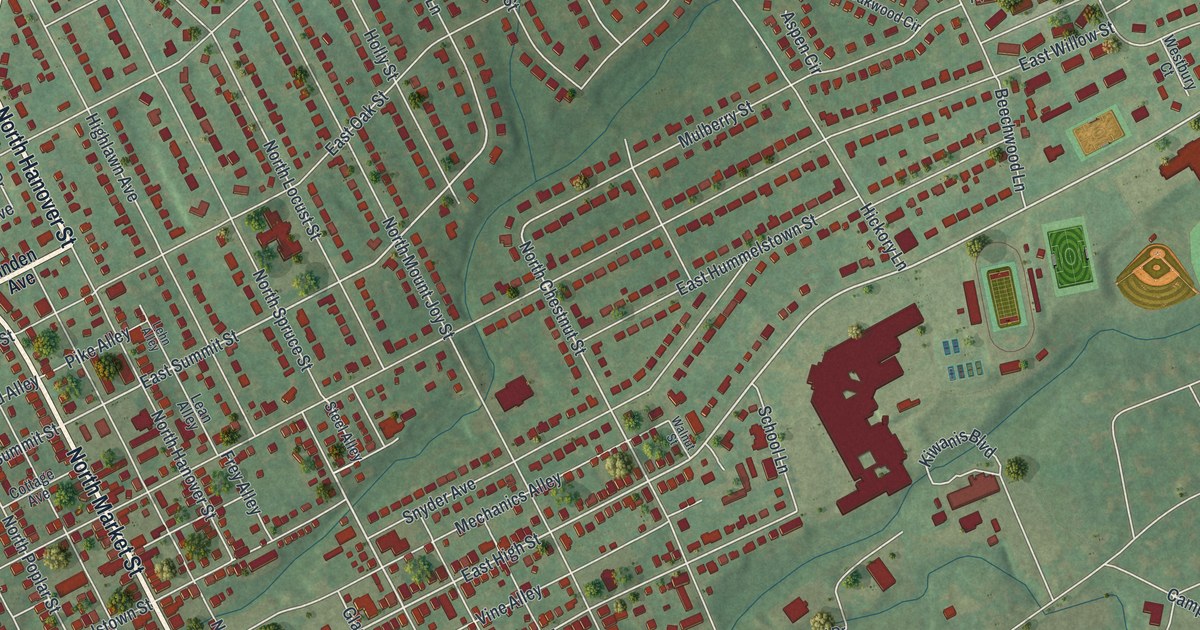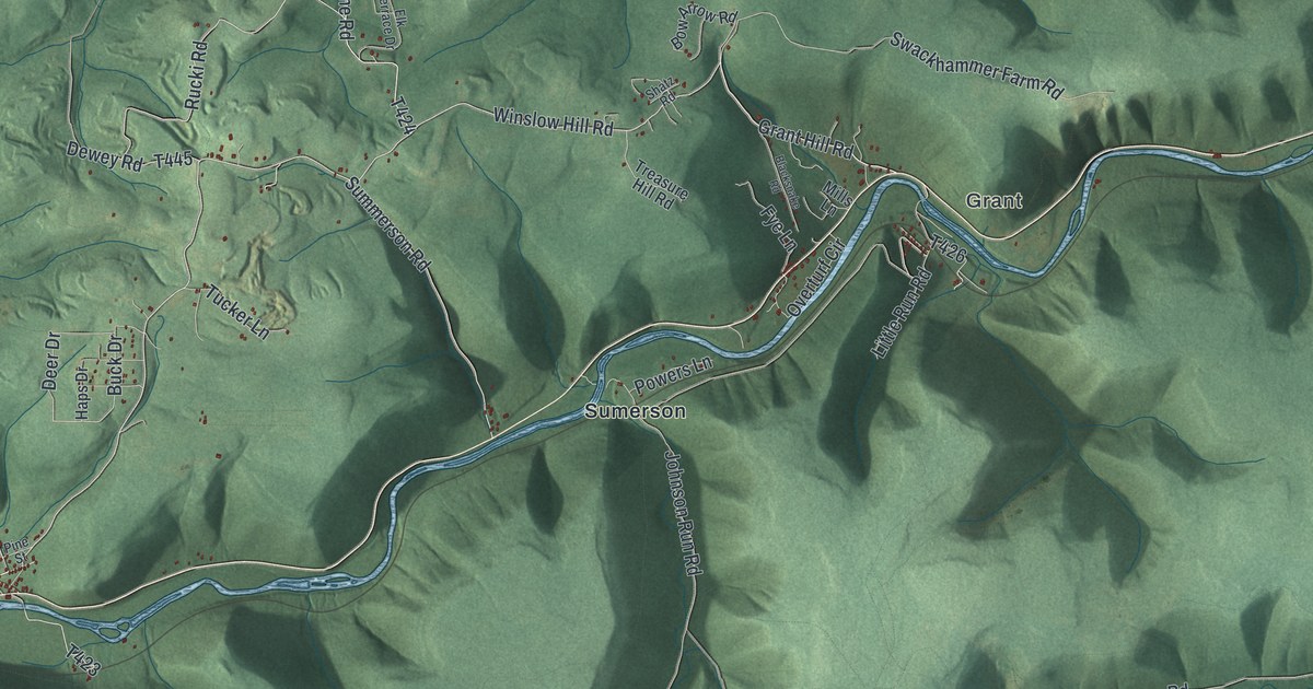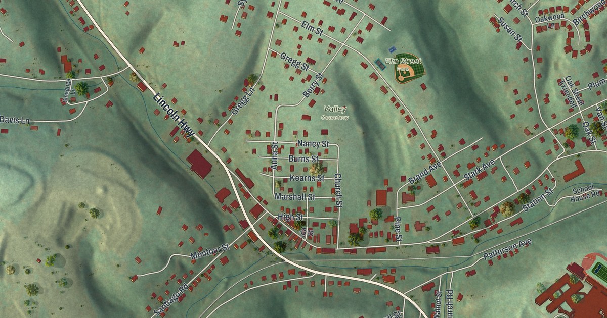
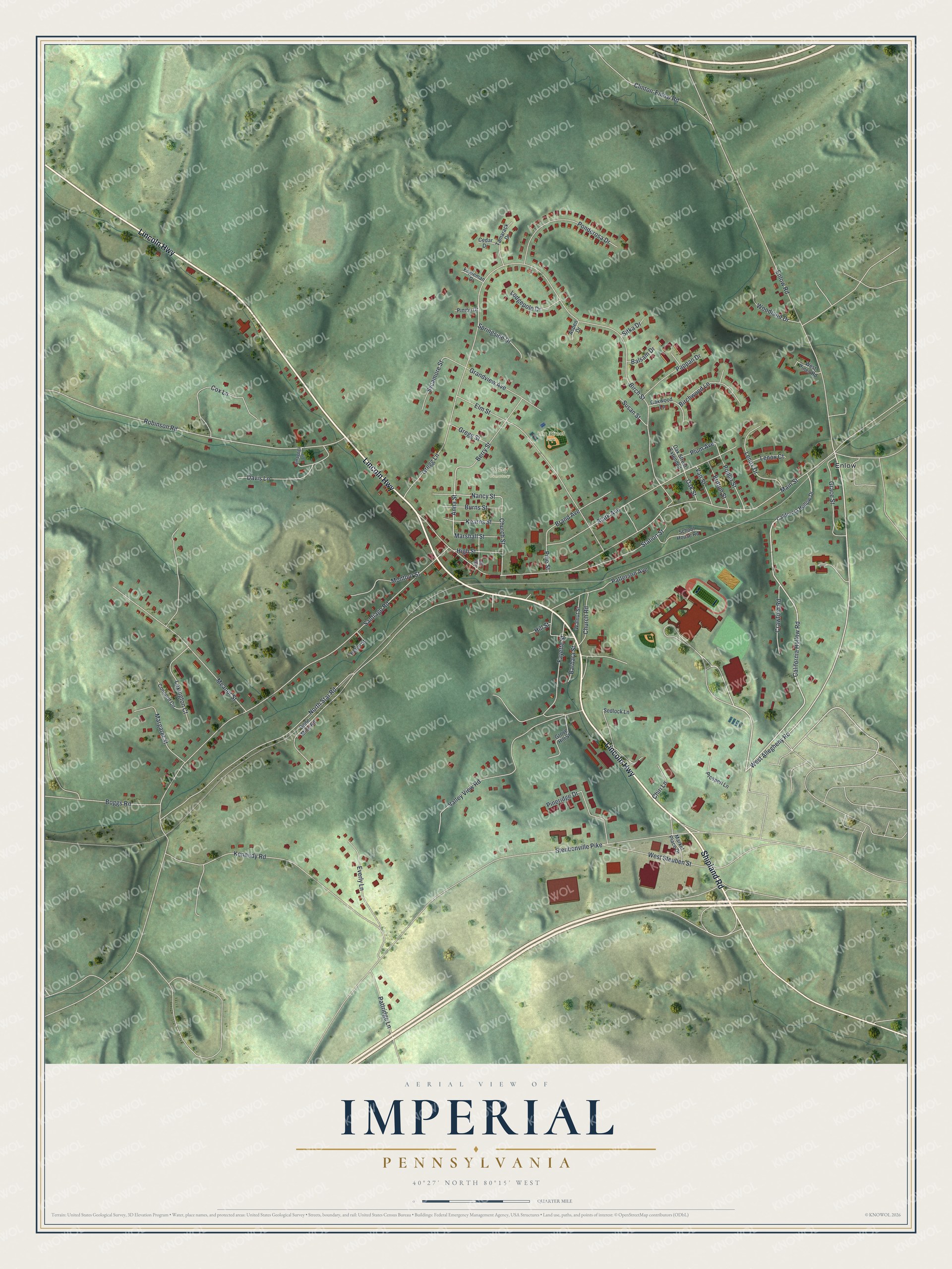
This beautifully detailed map of Imperial, Pennsylvania was created in 2026 using aerial imagery combined with modern topographical, census, street and landmark data. It’s a one-of-a-kind view of Imperial that combines accurate data with a vintage aesthetic. The map shows every building in its true location, many of the roads carry their names, and the shaded topographic relief shows the shape of the land.
Explore an aerial view of Imperial, Pennsylvania
On the map you’ll find Elm Street Park, Valley Cemetery, and Enlow, along with Shipland Road, Lincoln Highway, Enlow Road, West Allegheny Road, California Hollow Road, Anna Street, Nancy Street, Main Street, Santiago Road, and more. Imperial sits about 4 miles southeast of Clinton, 5 miles northwest of Noblestown and 5 miles south of Carnot-Moon. If you look closely you can even find your house accurately drawn in its correct location. Zoom in on the preview to look for yours.
Did You Know?
Imperial began as Montour City, a coal town that the Imperial Coal Company laid out on what had been the farm of Robert Wilson. A post office opened under the name Imperial in April 1880, and the town sat at the end of the Montour Railroad, which the company controlled. The Imperial Coal Company was incorporated in 1878. It made its first coal shipments in July 1879, mostly to northern Ohio. That's from the History of Allegheny County.
Take a closer look at the Imperial map
Names on this map
These names are printed on this map.
Places: Elm Street Park, Valley Cemetery and Enlow.
Streets and roads: Shipland Road, Lincoln Highway, Enlow Road, West Allegheny Road, California Hollow Road, Anna Street, Nancy Street, Main Street, Santiago Road, Birch Street, North Star Road, Steubenville Pike.
More street names, A to Z
Aspen Drive, Balsam Drive, Barbara Street, Berry Street, Birchwood Lane, Boggs Road, Brand Avenue, Britton Street, Burns Street, California Hollow Drive, Cedar Drive, Chiri Lane, Church Road, Church Street, Clinton-Enlow Road, Concord Circle, Cox Lane, Crawford Road, Davis Lane, Elm Street, Engleman Drive, Everly Lane, Fayette Street, Gene Mine Road, Grace Street, Grandview Avenue, Gregg Lane, Gregg Street, Grove Hill Street, Helen Street, High Street, Hill Street, Ida Street, Kearns Street, Kennedy Road, Lenox Court, Lenox Drive, Lexington Court, Lodgepole Drive, Margaret Street, Market Place Drive, Marshall Street, Meanor Street, Montour Street, Oak Street, Oak Street Extended, Oakwood Lane, Pappan Drive, Patterson Avenue, Pattridge Lane, Pineridge Drive, Pine Street, Pinion Drive, Plum Avenue, Ponderosa Drive, Poplar Street, Prosperi Lane, Robinson Road, School House Road, Sedlock Lane, Sinagoga Lane, Sitka Drive, Springside Drive, Stark Avenue, Station Street, Susan Street, Sycamore Street, Tamarack Drive, Valley View Road, Van Street, Walnut Street, West Pines Road, West Steuben Street, Woodland Drive.
See it on a wall
The Imperial map as a framed print. Swipe for more.


This beautifully detailed map of Imperial makes an attractive addition to your office, library, or den, and it can even be used to teach children the geography and history of the area. It also makes a great gift for anyone with Imperial roots. When you’re done exploring, click here to get your copy of the Imperial map.