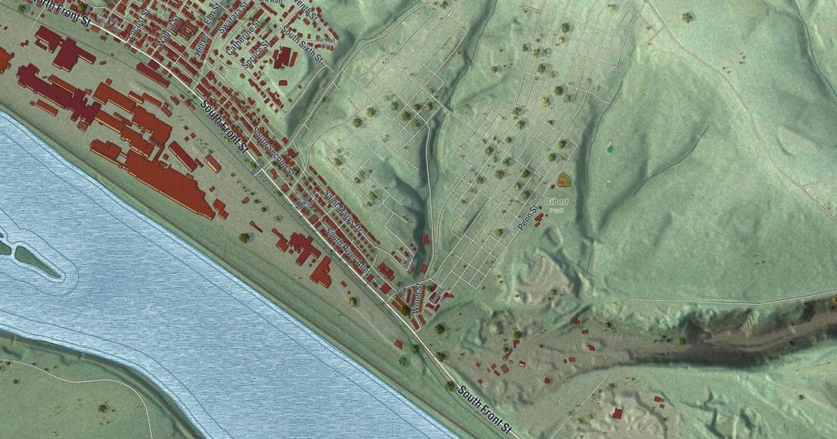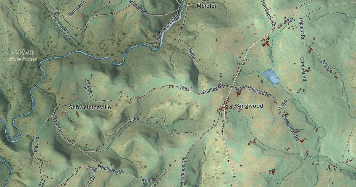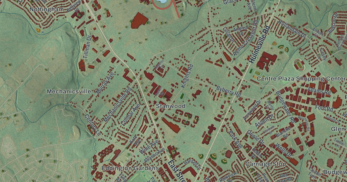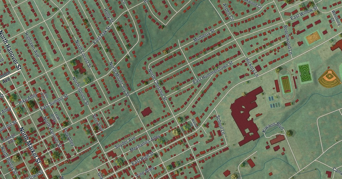
This beautifully detailed map of Elizabethtown, Pennsylvania was created in 2026 using aerial imagery combined with modern topographical, census, street and landmark data. It’s a one-of-a-kind view of Elizabethtown that combines accurate data with a vintage aesthetic. The map shows every building in its true location, many of the roads carry their names, and the shaded topographic relief shows the shape of the land.
Explore an aerial view of Elizabethtown, Pennsylvania
On the map you’ll find Elizabethtown Borough Office, Poplar Street Park, The Dell, and Anchor, along with West High Street, West Bainbridge Street, Masonic Drive, North Hanover Street, Maytown Road, South Market Street, North Market Street, East Cedar Street, and more. If you look closely you can even find your house accurately drawn in its correct location. Zoom in on the preview to look for yours.
Did you know this piece of Elizabethtown, Pennsylvania history?
Barnabas Hughes, a tavern keeper, bought the land in 1753 and laid out what is now the western part of Elizabethtown. He named the town after his wife. The village grew because it sat on the great trail from Philadelphia to the West. One of its early inns, the log Black Horse tavern, was still open for business in 1883. That’s from the 1883 History of Lancaster County, Pennsylvania.
Take a closer look at the Elizabethtown map
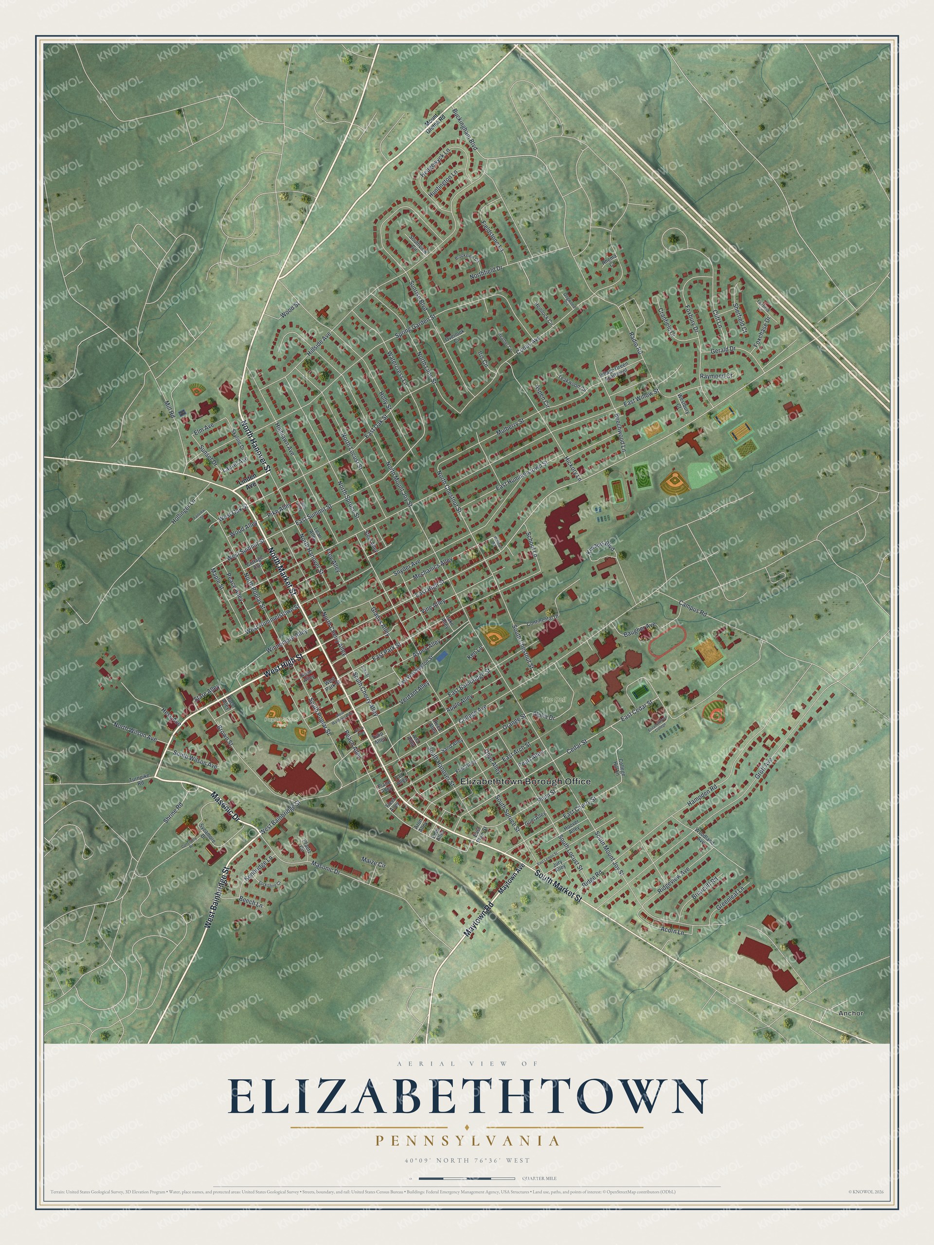
Street and place names on the Elizabethtown, Pennsylvania map
These names are printed on the map of Elizabethtown, Pennsylvania.
Places: Elizabethtown Borough Office, Poplar Street Park, The Dell and Anchor.
Streets and roads: West High Street, West Bainbridge Street, Masonic Drive, North Hanover Street, Maytown Road, South Market Street, North Market Street, East Cedar Street, North Spruce Street, Cedar Street, East High Street, East Summit Street.
More street names, A to Z
Acorn Lane, Ada Alley, Alpha Drive, Apple Alley, Aron Alley, Aspen Alley, Aspen Circle, Baugher Avenue, Beech Lane, Beechwood Lane, Briarcliff Road, Brookview Circle, Brown Street, Buckingham Boulevard, Campus Road, Cliff Lane, College Avenue, College Hill Lane, Conoy Avenue, Consistery Road, Continental Drive, Cottage Avenue, Cranfield Court, Dogwood Circle, Duke Street, East Arch Street, East Bainbridge Street, East Cherry Street, East Hummelstown Street, East Lemon Street, East Oak Street, East Park Street, East Plum Street, East Washington Street, East Willow Street, Eden Alley, Elizabethtown College, Elm Avenue, Fair Alley, Fairview Street, Fieldstone Lane, Fleet Alley, Flint Alley, Foxbury Drive, Foxchase Drive, Foxfield Lane, Frey Alley, Gerald Drive, Gladys Alley, Greenleaf Lane, Groff Avenue, Gum Alley, Hampden Road, Heather Circle, Hedgewyck Lane, Hemlock Circle, Hess Avenue, Hickory Lane, Highlawn Avenue, Hillside Avenue, Hollinger Lane, Holly Street, Hoover Alley, Huntington Lane, Iris Circle, Jury Alley, Kenbridge Lane, Ken Lane, Kiwanis Boulevard, Lake Alley, Laurel Avenue, Lean Alley, Lehn Alley, Linden Avenue, Maize Circle, Maple Street, Maytown Avenue, Mechanics Alley, Mill Road, Mount Gretna Road, Mulberry Street, North Cherry Alley, North Chestnut Street, Northfield Drive, North Lime Street, North Locust Street, North Mount Joy Street, North Poplar Street, North Wilson Avenue, Olive Alley, Orange Street, Overlook Circle, Peace Alley, Peach Alley, Pearl Alley, Pfautz Circle, Pike Alley, Plane Alley, Plum Street, Race Alley, Radio Road, Raymond Court, Reed Alley, Rhema Court, Ridge Road, Ridgeview Avenue, Rose Alley, Sand Alley, School Lane, Sherfield Court, Shrine Road, Skyline Drive, Snyder Avenue, South Cherry Alley, South Chestnut Street, South Hanover Street, South Locust Street, South Mount Joy Street, South Poplar Street, South Spruce Street, Southview Circle, South Wilson Avenue, Spring Garden Street, Stare Alley, Steel Alley, Sunrise Boulevard, Sunset Drive, Sycamore Drive, Teakwood Circle, Tulip Alley, Turnpike Road, Union Alley, Verdant Alley, Village Green Apartment, Vine Alley, Walnut Street, Watercress Lane, Westbury Court, West Hummelstown Street, West Oak Street, West Park Street, West Summit Street, West Washington Street, Winnemore Alley, Wood Alley, Woodland Avenue, Wood Street, Yorkshire Court.
See the Elizabethtown, Pennsylvania map on a wall
The Elizabethtown map as an 18 x 24 inch print in a black frame.

This beautifully detailed map of Elizabethtown makes an attractive addition to your office, library, or den, and it can even be used to teach children the geography and history of the area. It also makes a great gift for anyone who grew up in Elizabethtown or moved away. When you’re done exploring, click here to get your copy of the Elizabethtown map.