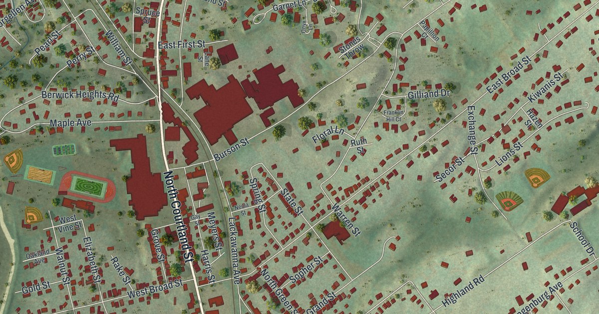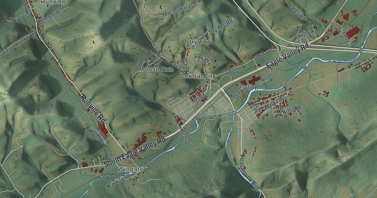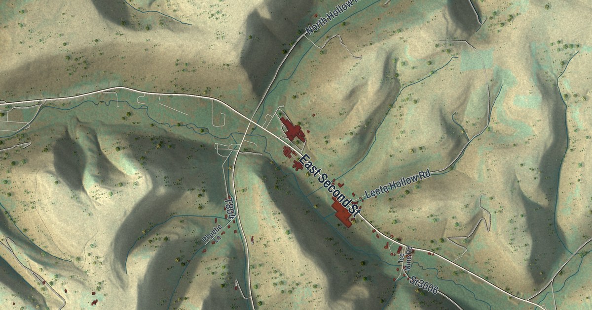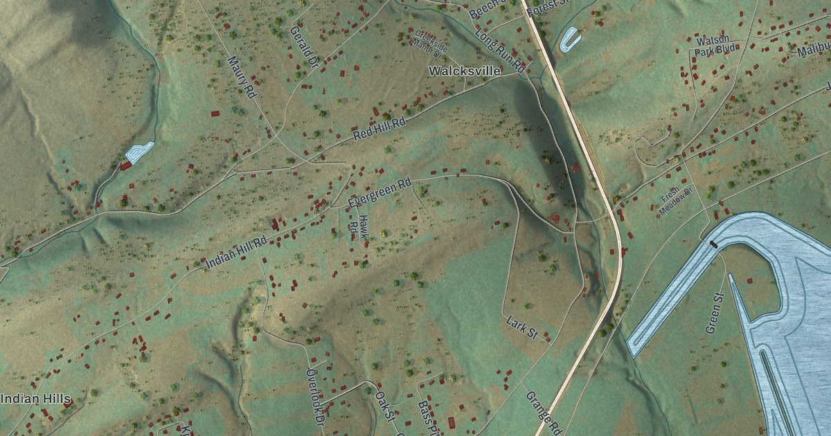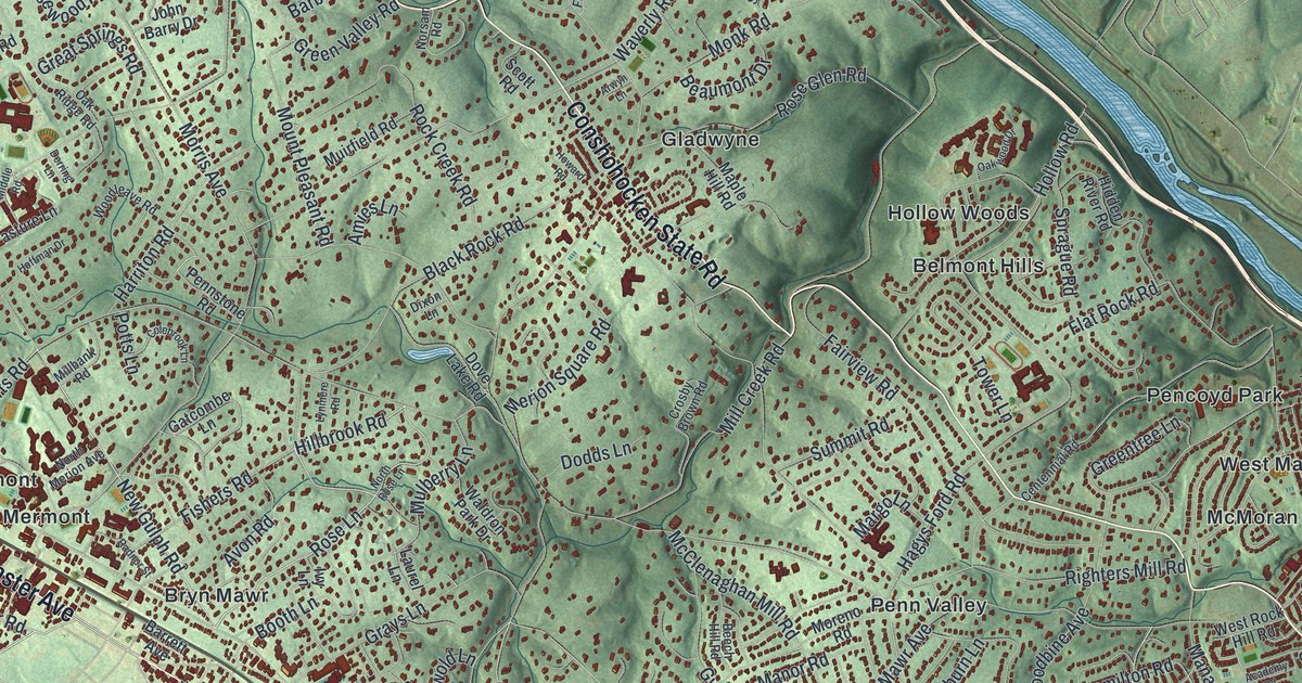
If you grew up in Ardmore, Bryn Mawr, Gladwyne or Bala-Cynwyd, or you still have family there, this map puts all of them on one sheet. It's an aerial view of Lower Merion Township in Montgomery County, Pennsylvania, made from modern data and given a vintage look. Green shaded hills roll across the paper, and each building is drawn in dark red. A wide blue river bends along the upper right side. The township's villages are named, from Mechanicsville at the top to Penn Wynne at the bottom.
Montgomery Avenue, Belmont Avenue and Pencoyd Park
Start at Lower Merion Township Hall, printed in Ardmore near the middle of the sheet. Church Road runs past it up to Montgomery Avenue, the long road that crosses the whole township. Follow Montgomery Avenue west through Haverford and Bryn Mawr to Rosemont. Lancaster Avenue runs near it through Haverford. Then turn around and head east. Montgomery Avenue passes Thomas Wynne and Cynwyd Estates on its way to Bala-Cynwyd. West City Avenue and East City Avenue run along the lower right edge.
From Bala-Cynwyd, follow Belmont Avenue toward the river. It passes Sutton Terrace and West Laurel Hill Cemetery. Turn onto Ashland Avenue and you'll reach West Manayunk. Jefferson Street runs from there to Pencoyd Park, right beside the river. For the hills, go back to Conshohocken State Road and take it west to Gladwyne. Mechanicsville and Calvary Cemetery sit near the top left. Many roads are labeled, and each red shape is a building, so zoom in on the preview and look for yours.
Why Pencoyd means tree-tops
Pencoyd is a Welsh name. It means "tree-tops," says the History of Montgomery County, printed in 1884. It was the name of the Roberts family homestead, started in 1683 on land granted by William Penn. In 1852, Algernon and Percival Roberts began building iron works there. The works stood on the west bank of the Schuylkill River, across from Manayunk. They planned to make heavy hardware, but they only forged a few anvils. Then they saw how fast the railroads were growing. They switched to axles for railroad cars and engines. Their first order was for twelve axles. By the end of 1880, they'd made 467,026 of them.
In 1859 they started building iron bridges too. The county history says no other firm was making iron bridges at the time. That same year, they put an iron span across the Delaware River at Easton for the Lehigh Valley Railroad. To find Pencoyd today, look near the river on the right side of the map. West Manayunk and Pencoyd Park are printed there, and a second Pencoyd label sits lower down near Presidential Boulevard.
A gift for anyone raised between Bryn Mawr and Bala-Cynwyd
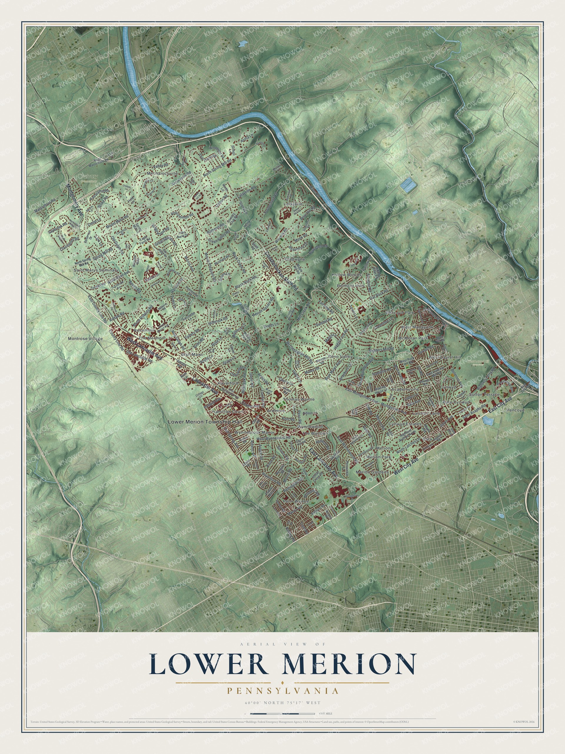
Created by KNOWOL in 2026, this Lower Merion map uses USGS elevation data for its shaded hills and Census Bureau road lines for its streets. The hills are soft green, the buildings are deep red, and the river is a pale blue ribbon along the upper right. The title panel reads "Aerial View of Lower Merion, Pennsylvania" with the coordinates 40°00' North, 75°17' West and a one-mile scale bar.
It suits a home office, a den or a front hall. It's a thoughtful gift for someone who grew up near Lower Merion Township Hall and moved away, or who still drives Montgomery Avenue every day. Open the preview, zoom in and find your street. See sizes and frames for the Lower Merion map.