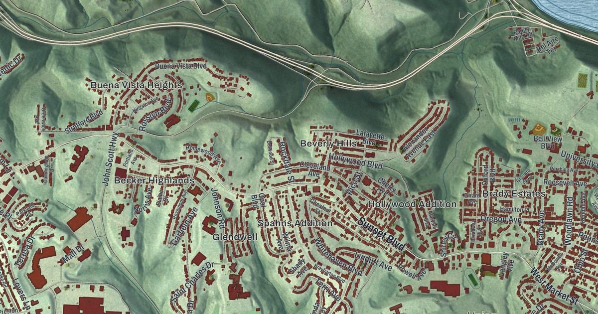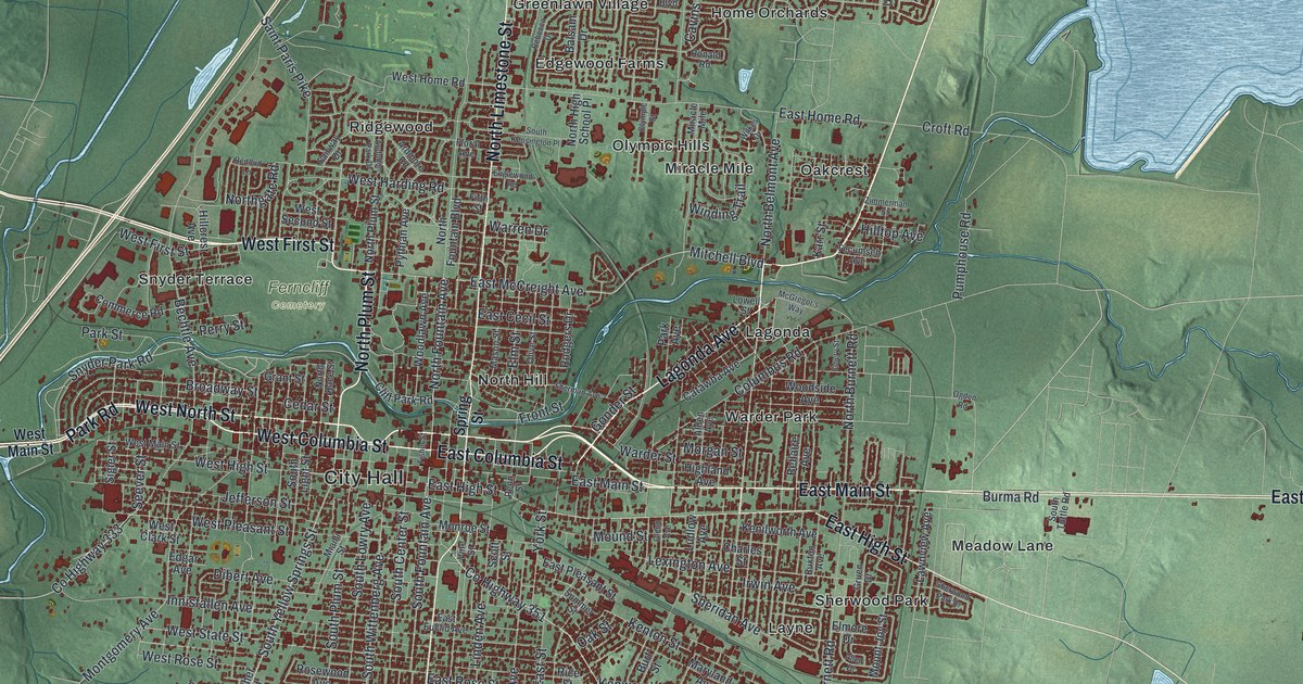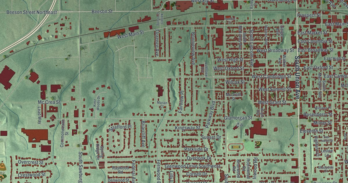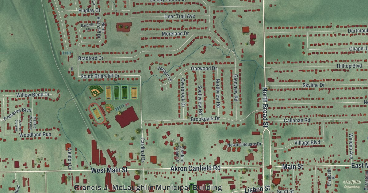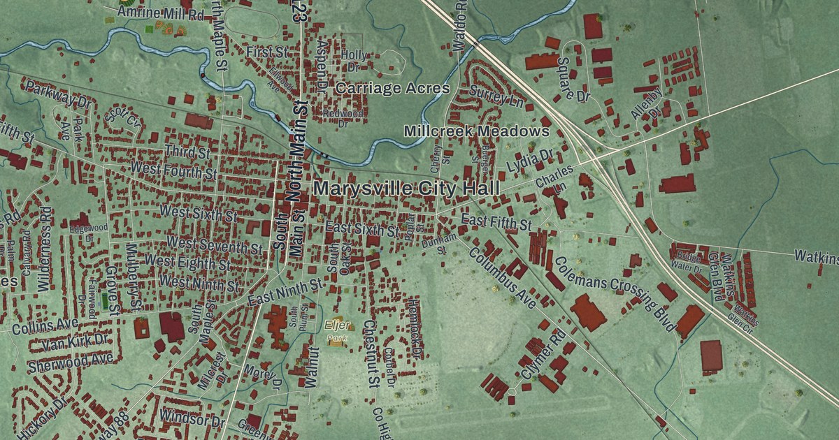
If you grew up in Marysville, went to school here, or still have family off London Avenue or Milford Avenue, this map gives you a lot to find. It's a modern aerial view of Marysville in Union County, Ohio, made from modern data and printed with a vintage feel. The town sits in deep red near the middle, with more than 9,700 buildings drawn. A wide highway curves around its north side and then heads southeast across the sheet. Soft green farm fields fill every edge, crossed by thin blue creeks.
Marysville City Hall, Collins Avenue and Oakdale Cemetery
Start at Marysville City Hall, printed in the middle of town. West Fifth Street and East Fifth Street run through downtown beside it, and Walnut runs past City Hall and Eljer Park. Now head west on Collins Avenue. You'll pass Green Pastures, with MacIvor Woods just above it. Look a little higher and you'll find Oakdale Cemetery on Northwest Parkway, with two small blue ponds close by. Back in town, Milford Avenue runs west to Milford Estates.
Go back to City Hall and follow London Avenue south. Greenwood Colony and Adena Pointe sit just east of it. Now head north instead. Co Highway 123 climbs past Fleetwood Park, and Scott Farms Boulevard leads to Woodview Park. In the top left, Creekview Drive winds through streets with a horse racing theme: Clydesdale Way, Triple Crown Way, Derby Drive and Stallion Way. East of City Hall, Colemans Crossing Boulevard runs past Carriage Acres and Millcreek Meadows to Industrial Parkway. Follow that road southeast past big red buildings to Dipple. Many roads are named, and each red shape is a building, so zoom in on the preview and look for yours.
How Marysville got its name in 1819
Marysville got its start on August 10, 1819. Samuel W. Culbertson, a lawyer from Zanesville, laid it out where Mill Creek met the road from Delaware to Urbana. He'd bought 450 acres two years before. Charles Roberts surveyed the first 96 lots. Culbertson named the village for his daughter, Mary Ellen, who was born in 1810. Union County was formed in 1820, and in 1822 Marysville became the county seat. An Ohio historical marker at City Hall tells the story.
Before that, the county court met in Milford, in the tavern of Nathaniel Kazar. When the seat moved, court met in Matthias Collins's tavern in Marysville. A courthouse went up later that year on East Fifth Street. The courthouse that stands today, on West Fifth Street, was built from 1880 to 1883. On the map, find City Hall. It sits right at West Sixth Street. There, Cyprian Lee finished a brick house in 1832. A marker calls it the oldest brick house in Marysville. Later, the showman Noah Orr, known as the Union County Giant, lived there too.
For someone who knows London Avenue and West Fifth Street
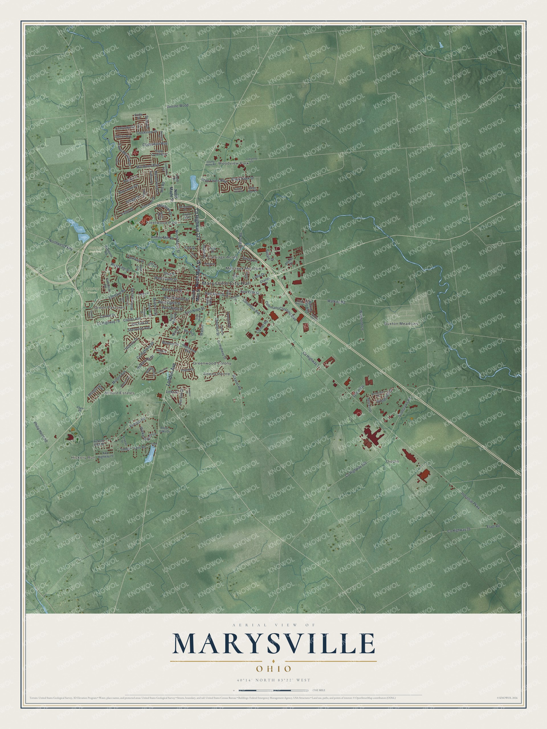
Created by KNOWOL in 2026, this map of Marysville is built from USGS elevation data and records of roads and buildings. The town shows in deep red on soft green farmland, and a pale highway sweeps from the left side down to the lower right. The title panel reads "Aerial View of Marysville, Ohio" with the coordinates 40°14' North, 83°22' West and a one-mile scale bar.
It suits a home office, a den or a hallway where family walks by every day. It's a good gift for someone who grew up near Eljer Park or London Avenue, or who moved away and still asks about home. Open the watermarked preview and find your street. See sizes and frames for the Marysville map.