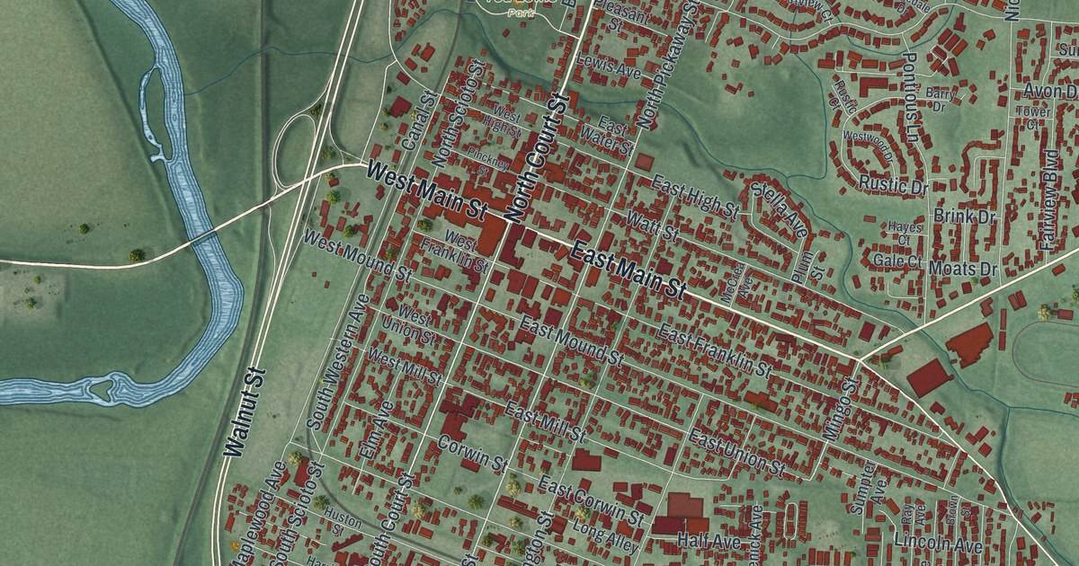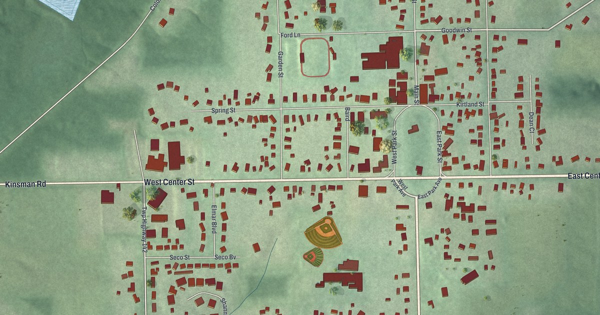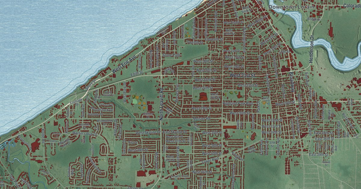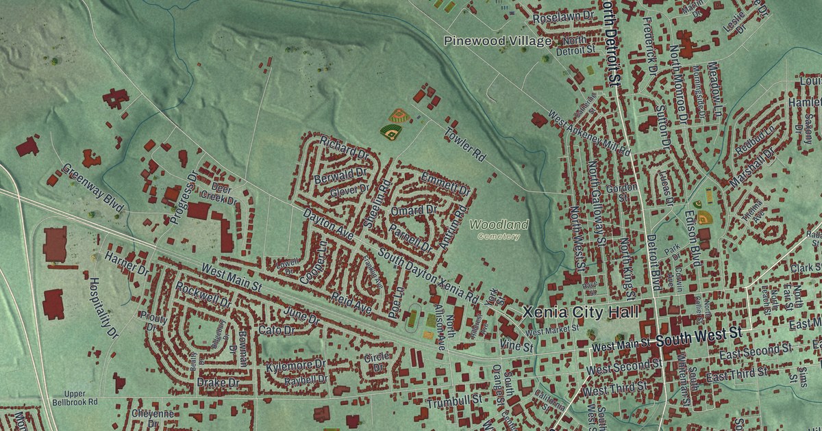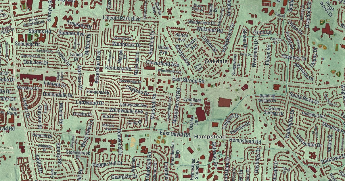
If you grew up in Kettering or still have family on a street off Wilmington Pike or Far Hills Avenue, this map gives you plenty to find. It's a modern aerial view of Kettering in Montgomery County, Ohio, made from modern data and given a vintage look. More than 60,000 buildings are drawn in dark red over soft green hills. Neighborhood names like Beavertown, Oakdale and Southern Hills sit among the streets, and a blue river bends through the top left corner.
Delco Park, Wilmington Pike and Far Hills Avenue
Start at Delco Park, just right of the middle of the sheet. Beavertown sits a little to the west, and Lindenhall is just below. Woodman Drive runs north from near the park. Follow it up past Greenmont and Shakertown to the top right, where Research Boulevard curves along the edge. Now come back and pick up Wilmington Pike. It slants down from the top center to the bottom right, past Oakdale. Hempstead Road heads east to Hampstead, and Whipp Road crosses the bottom near Oak Ridge.
The west side has its own names. Up in the top left, Carmonte and Southern Hills sit close to the river. Below them, Berkley Heights, South Dale and Short Hills sit among curving streets like Southern Boulevard, Big Hill Road and Winding Way. Far Hills Avenue runs from the top left down to the bottom center. Each dark red shape is a building, and many roads are labeled. Zoom in on the preview and look for your street.
Mad River Road, the first road from Cincinnati to Dayton
Find David's Cemetery near the middle of the sheet. Far Hills Avenue and Mad River Road both pass close by, and Mad River Road keeps going south toward the bottom left. That road is older than it looks. In 1795 Daniel Cooper cut it as the first road over land between Cincinnati and Dayton. Dayton was a new town then, at the mouth of the Mad River. Cooper was a miller. Dr. John Hole, the first doctor in Montgomery County, helped record the survey. In 1796 he set up his cabin on this stretch of the road. An Ohio historical marker stands just south of the cemetery entrance. It says the five miles between David Road and State Route 725 are the last part you can still trace that keeps the old name.
Shakertown and the Cassano's marker on East Stroop Road
Other names on the sheet have stories too. Up by Research Boulevard, near the Shakertown label, a marker says a Shaker village called Watervliet stood there from 1806 to 1900. The Shakers got their name from the dancing that was part of their worship. Closer to the center, a marker at East Stroop Road and Hempstead Station Drive tells how Cassano's Pizza King began. Kettering grocer Vic Cassano Sr. and his mother-in-law, Caroline "Mom" Donisi, opened it on June 4, 1953. Their thin, square-cut pizza was a hit. They sold 400 pizzas the first day.
For anyone who grew up off Far Hills Avenue or Wilmington Pike
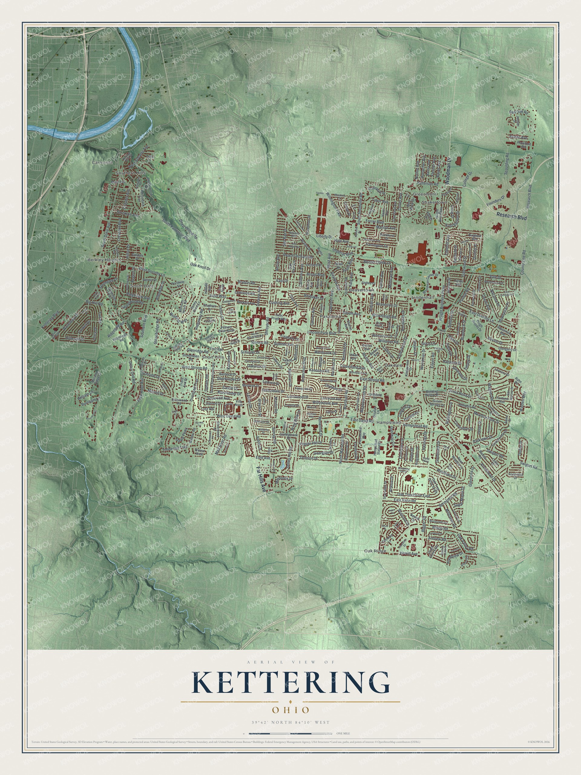
Created by KNOWOL in 2026, this Kettering map lays the city's streets and buildings over hills shaded from USGS elevation data. Streets come from Census Bureau records. The title panel reads "Aerial View of Kettering, Ohio" with the coordinates 39°42' North, 84°10' West and a one-mile scale bar.
It fits well in a kitchen, an office or a family room. It makes a good gift for someone who grew up near Delco Park and moved away, or for parents who've lived off Wilmington Pike for years. Open the preview, zoom in and find the streets you know. See sizes and frames for the Kettering map.