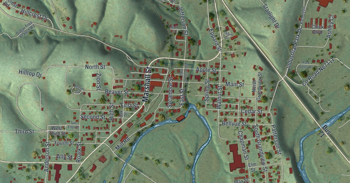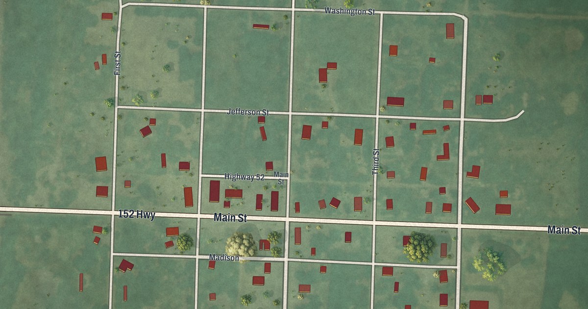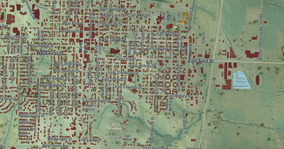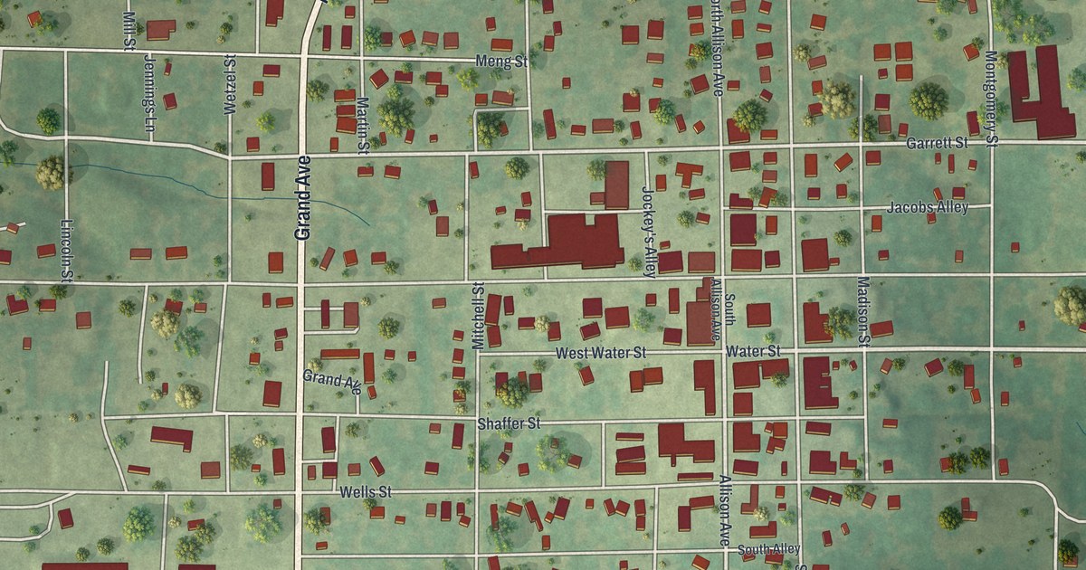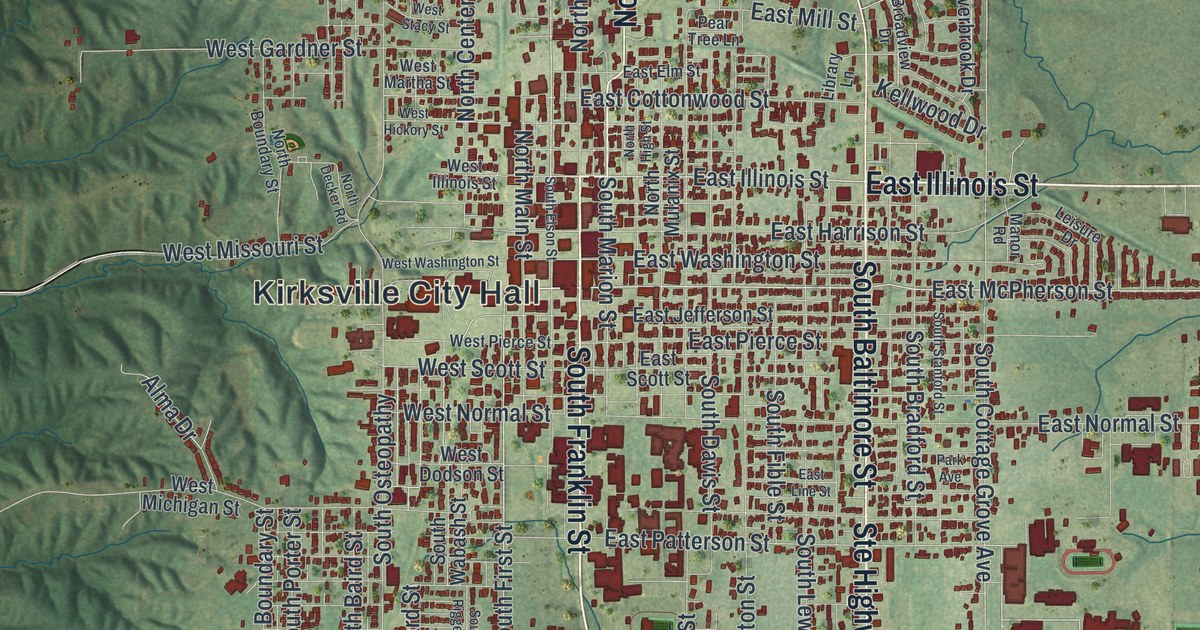
If you grew up in Kirksville, went to school here, or still have family near the courthouse square, this map gives you plenty to find. It's a modern aerial view of Kirksville in Adair County, Missouri, drawn from modern data with a vintage look. About 7,400 buildings are marked in deep red. They form a long band down the middle of the sheet, from North Park at the top to Maple Hill Cemetery near the bottom. Farm fields and creek-cut hills spread out on every side, and the hills get steepest to the west.
From Kirksville City Hall to Maple Hill Cemetery
Start at Kirksville City Hall, printed near the middle of the sheet. The thickest cluster of red buildings sits just east of it. South Franklin Street runs through that downtown grid, and South Baltimore Street runs beside it a little farther east. Now head north on North Baltimore Street. It passes West Northtown Road and East Northtown Road. Keep going and you'll reach North Park, near Emmett Street. Past that, Benton Way sits out among the fields.
Back downtown, East Illinois Street heads east toward the edge of town. South of it, East Normal Street, East Hamilton Street and East Laharpe Street cross the grid. Follow South Baltimore Street south to East Shepherd Avenue. Just above it, a wide green space opens up with small blue ponds. Just below it, you'll find Maple Hill Cemetery. Many roads are named, and each red shape is a building, so zoom in on the preview and look for yours.
The Princess Theatre and Kirksville's Courthouse Square
Downtown Kirksville has a long list of places on the National Register of Historic Places. The Adair County Courthouse, on Washington Street, was listed in 1978. The Grim Building, at 113 and 115 East Washington Street, followed in 1979. In 2009 the Kirksville Courthouse Square Historic District was added. It covers the 200 block of North Franklin Street and the 100 block of East Harrison Street, both printed on the map. On South Elson Street, the Journal Printing Company Building and the Sojourners Club are listed too. The newest listing came in January 2026. It's the Princess Theatre, at 202 South Franklin Street. Find South Franklin Street just east of City Hall on the map, and you're standing in that part of town.
The ground under Kirksville has a story too. An 1888 county history describes a seam of coal southwest of town, in Benton Township. It was only four to eight inches thick. It also tilted hard, dropping eighteen inches for every sixty. Above it lay shale and a seam of blue fire clay. Look at the left side of the map, where the hills fold into deep creek valleys west of town. That's the kind of rough ground the 1888 book was describing.
For someone who knows South Franklin Street
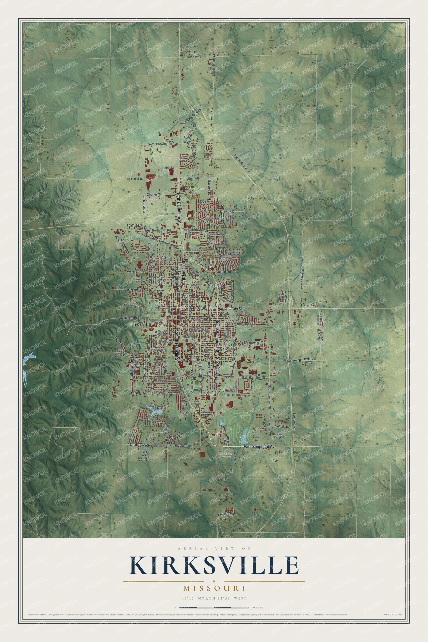
Created by KNOWOL in 2026, this Kirksville map uses USGS elevation data to shade the hills in soft green. Each building is drawn in deep red, so the town reads clearly from across a room. The title panel says "Aerial View of Kirksville, Missouri" and gives the coordinates 40°12' North, 92°35' West, with a one-mile scale bar.
It fits a home office, a den or a front hall. It's a good gift for someone who grew up in Kirksville and moved away, or who knows the Princess Theatre on South Franklin Street. Open the preview, find City Hall, and follow the streets you know. See sizes and frames for the Kirksville map.