If you grew up in Mahoning Township, know Blakeslee Boulevard Drive East or West, or have family near New Mahoning or Packerton, this map gives you a lot to find. It's a modern aerial view of Mahoning Township in Carbon County, Pennsylvania, made from modern data and finished with a vintage look. Long green ridges run from corner to corner. A blue river bends down the right side, and red buildings line the valley roads. Up in the hills at the top left, a long narrow lake shows up in pale blue.
Packerton Dam Drive, Mertz Town and New Mahoning
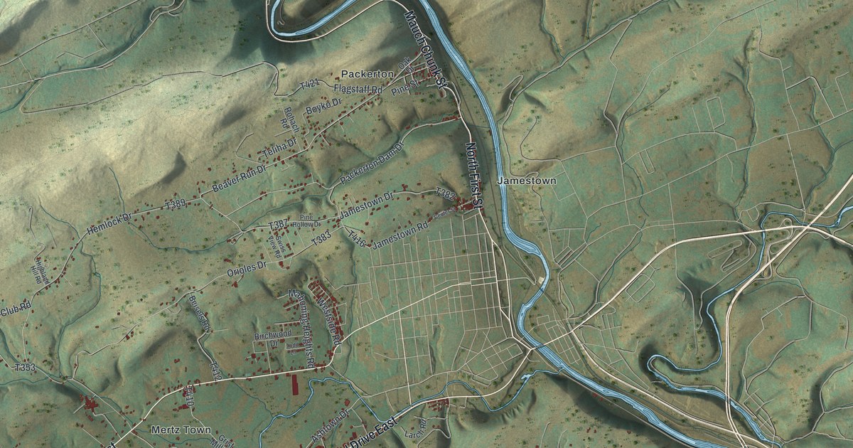
Start at Packerton Junction near the top right, where the river makes a sharp bend. Mauch Chunk Street runs south from there into Packerton. Jamestown is also at the top right, where Jamestown Road meets Center Street. From Packerton, take Packerton Dam Drive west to Hemlock Drive. Follow Hemlock Drive south and you'll come to Mertz Town, near the middle of the sheet.
Below Mertz Town, look for Blakeslee Boulevard Drive East and Mahoning Drive East. Blakeslee Boulevard Drive West and Mahoning Drive West are printed near the lower part of the map. Look left for Mill Road. It passes New Mahoning and continues to Normal Square, where it meets Fritz Valley Road. Chapel Drive meets Fritz Valley Road nearby. Out on the right side, Lower Nis Hollow Drive runs through Dry Tavern. Many roads are labeled, and each red shape is a building, so zoom in on the preview and look for yours.
John Erb's powder mill, started in 1842
A county history records that John Erb ran a powder mill here starting in 1842. It exploded several times, with fatal results. The map names Packerton, Mertz Town and New Mahoning across the valley.
For anyone from New Mahoning, Packerton or Jamestown
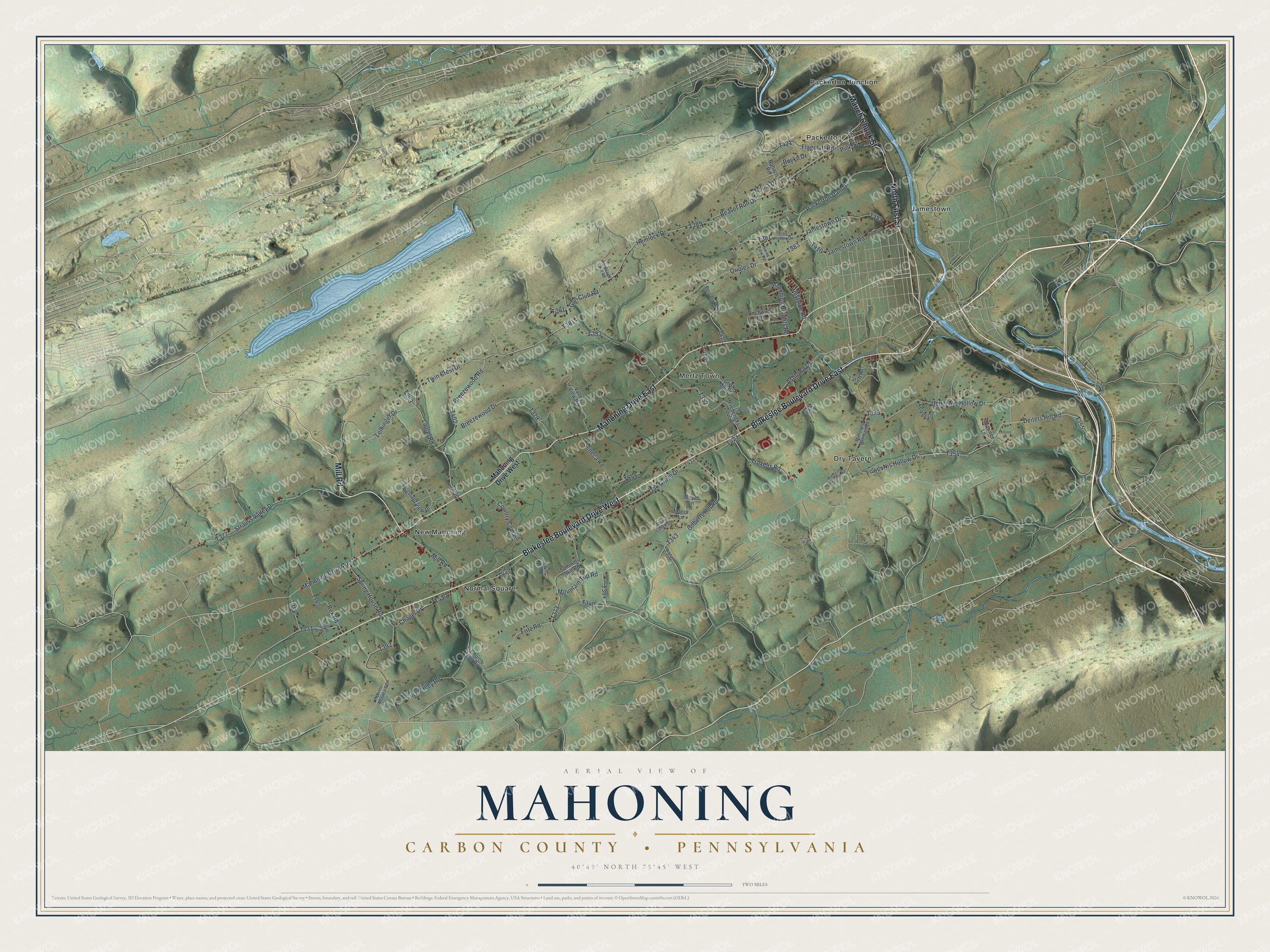
Created by KNOWOL in 2026 from USGS elevation data and Census Bureau road records, this map shows the Mahoning Valley with shaded green ridges, the river in blue and buildings in deep red. The title panel reads "Aerial View of Mahoning, Carbon County, Pennsylvania" with 40°49' North, 75°45' West and a two-mile scale bar.
It fits a den, a kitchen or a hallway where family can stop and trace the way home. It's a thoughtful gift for someone who grew up near New Mahoning, worked around Packerton, or moved away from the valley. Open the preview, zoom in and find Blakeslee Boulevard Drive East or West, then look for your own road. See sizes and frames for the Mahoning, Carbon County map.