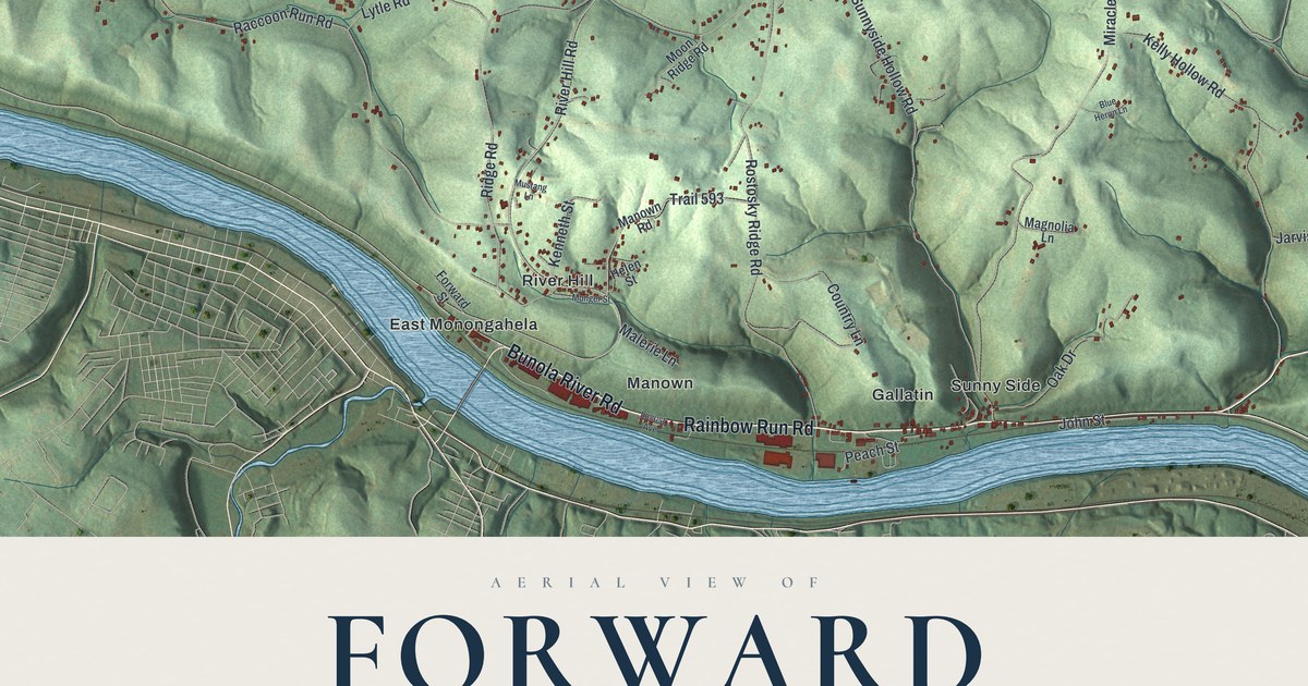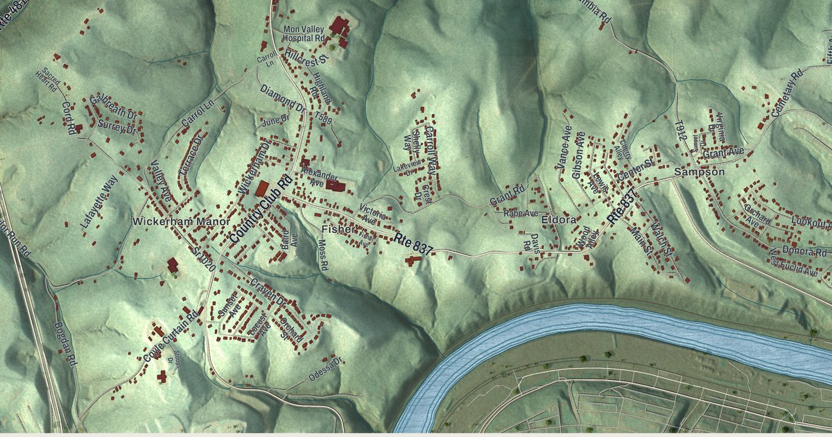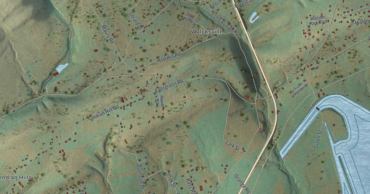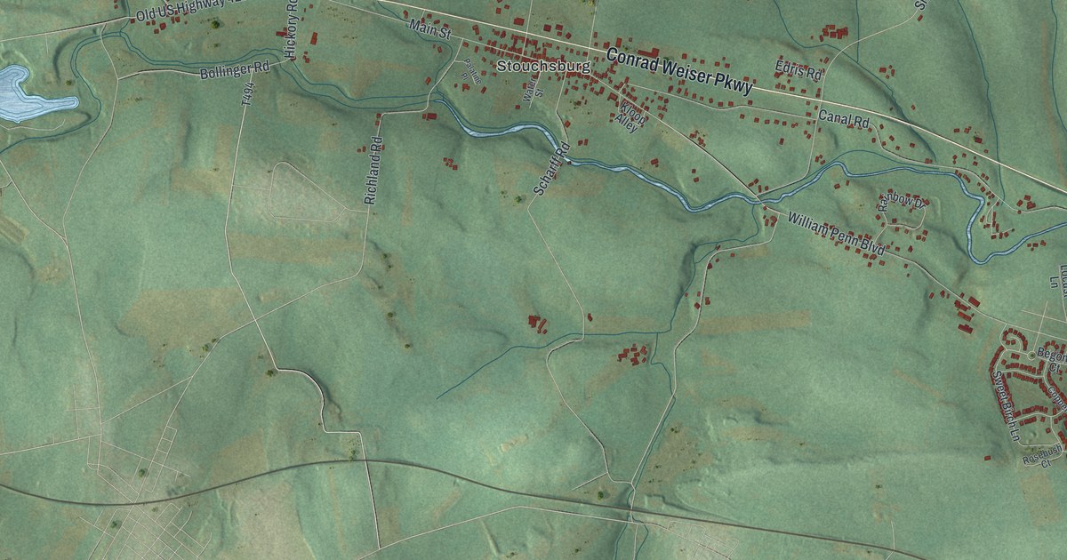
If you grew up in Stouchsburg, drive Conrad Weiser Parkway most days, or have family along School Road, this map has roads you'll recognize. It's a modern aerial view of Marion Township in Berks County, Pennsylvania, made from modern data and finished with a vintage look. Green hills are shaded across the whole sheet. A blue creek winds past Stouchsburg, and buildings show up as small red shapes. Up on the right side, the creek bends past Charming Forge.
Stouchsburg, School Road and Charming Forge
Start in Stouchsburg, near the middle of the map. Main Street runs through the village, with Water Street and Kloop Alley just off it. Conrad Weiser Parkway runs right past. Follow the Parkway east. Canal Road heads east too, just below it, toward the creek. Farther on, Sheridan Road crosses both. South of the creek, William Penn Boulevard runs across the lower part of the sheet. Farther right, a close group of homes sits along Copper Beech Lane, Begonia Court and Rosebush Court.
Now go back to Stouchsburg and head north. Church Road and Marion Drive run north to School Road, which crosses the top half of the sheet. Turn west on School Road and you'll pass Smaltz Road, Wintersville Road and Katterman Hill Road. Turn east instead and you'll reach Rte 419. Take Rte 419 south to Charming Forge Road and follow it toward the Charming Forge label by the creek. A state marker near Womelsdorf says Charming Forge was erected in 1749. Each red shape is a building, so zoom in on the preview and look for yours.
The Rieth family and Reed's Church
An 1886 History of Berks County says the Rieth family, later called Reed, settled on the Tulpehocken in 1723, in what's now Marion Township. It says Adam, John and Christopher Rieth settled near what became Reed's Church. The church took its name from their role as early members.
The same book tells about 1793, when George Washington came to visit the grave of Conrad Weiser. He asked to see three men who had been his bodyguard: Christopher Lechner and the brothers Jacob and Valentine Rieth. They came right away and spent several hours with him. All three are buried in the old Reed Church graveyard. The words on their sandstone markers have almost worn away. The county history places the Rieth family in what is now Marion Township. On the map, Conrad Weiser Parkway runs east from Stouchsburg.
For someone from Stouchsburg or Charming Forge
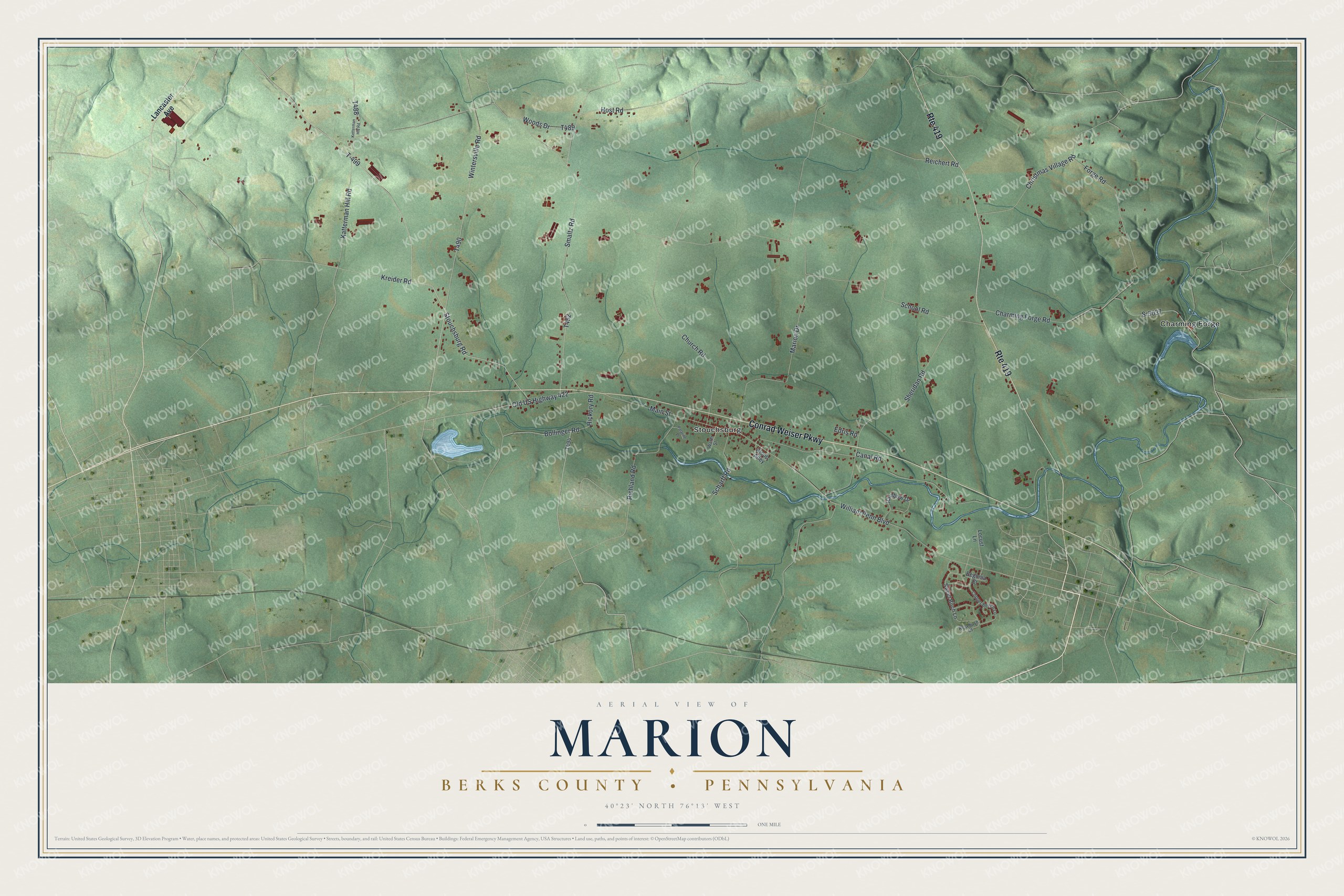
Created by KNOWOL in 2026, this map of Marion Township shows the hills in soft shaded green from USGS elevation data, with roads drawn in pale lines and buildings in deep red. The title panel reads "Aerial View of Marion, Berks County, Pennsylvania" with the coordinates 40°23' North, 76°13' West and a one-mile scale bar.
It suits a farmhouse kitchen, a den or an office wall. It's a good gift for someone who grew up near Stouchsburg and Reed's Church, or who grew up along School Road and moved away. Open the preview, zoom in and find the road you know. See sizes and frames for the Marion, Berks County map.