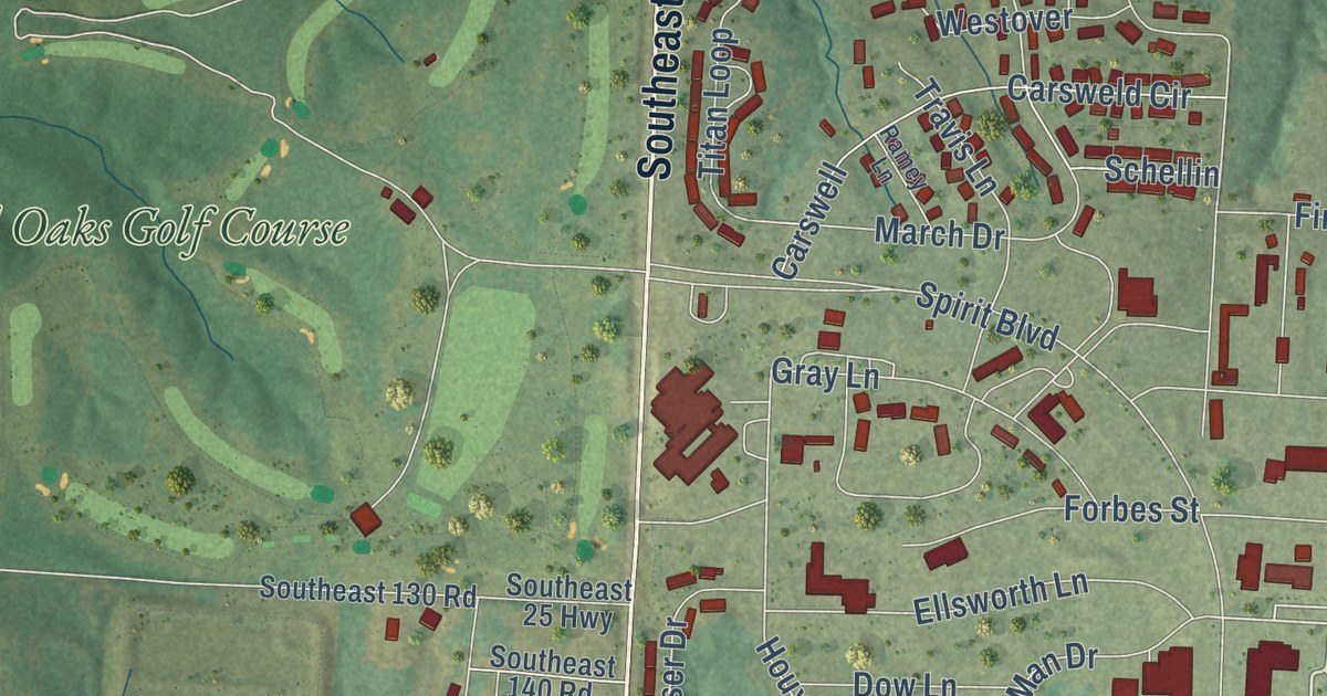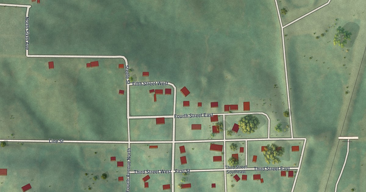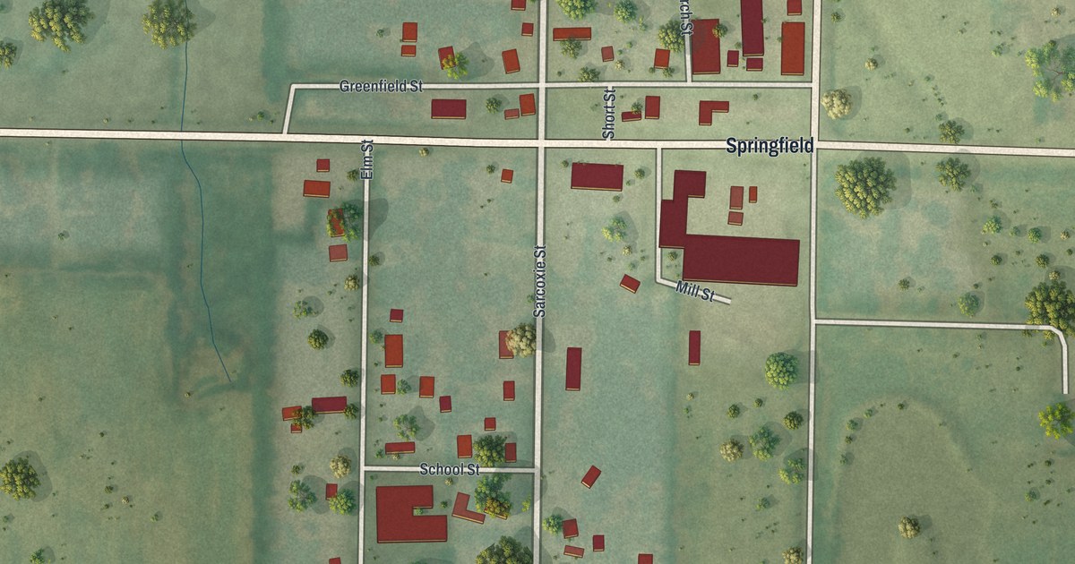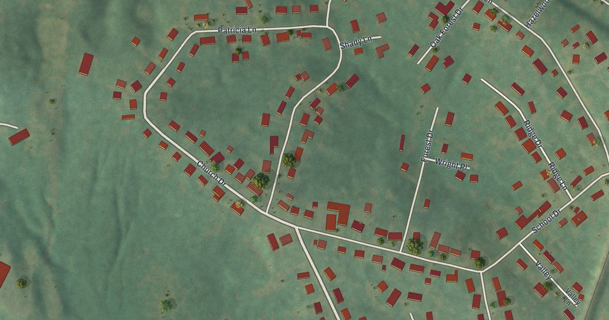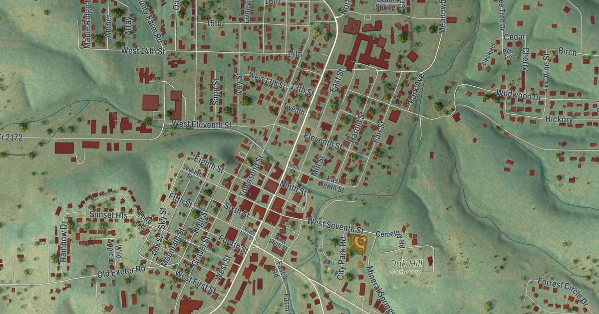
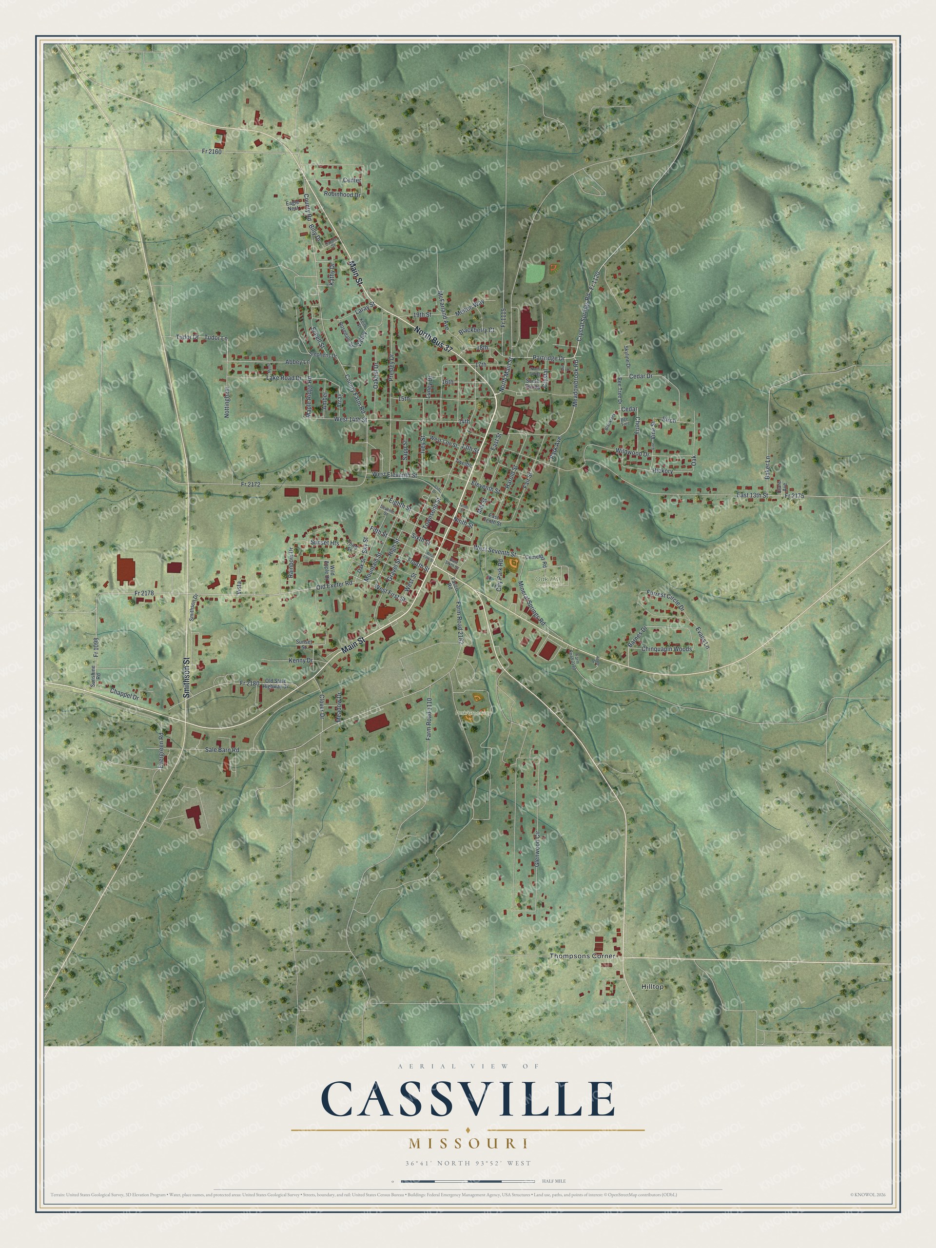
This beautifully detailed map of Cassville, Missouri was created in 2026 using aerial imagery combined with modern topographical, census, street and landmark data. It’s a one-of-a-kind view of Cassville that combines accurate data with a vintage aesthetic. The map shows every building in its true location, many of the roads carry their names, and the shaded topographic relief shows the shape of the land.
Explore an aerial view of Cassville, Missouri
On the map you’ll find Oak Hill Cemetery, Park/Greenway, Hilltop, Thompsons Corner, North Bus 37, and Fr 1120, along with Main Street, Smithson Street, Crystal Springs Road, Partridge Drive, North Main Street, Meadowbrook Road, and more. If you look closely you can even find your house accurately drawn in its correct location. Zoom in on the preview to look for yours.
Take a closer look at the Cassville map
Street and place names on the Cassville, Missouri map
These names are printed on the map of Cassville, Missouri.
Places: Oak Hill Cemetery, Hilltop and Thompsons Corner.
Streets and roads: North Bus 37, Main Street, Smithson Street, Crystal Springs Road, Partridge Drive, Fr 1120, North Main Street, Meadowbrook Road, Old Exeter Road, Fr 2178, Kathy Drive, County Road.
More street names, A to Z
13th Street, 14th, 15th, 16th, 17th, 18th, 19th Street, Abbey Lane, Amber, Apple Drive, Array, Baker Lane, Barnes Drive, Bee Tree, Bee Tree Drive, Billy Drive, Birch, Blackberry Court, Blackjack, Carole Street, Cedar, Cedar Drive, Cemetery Road, Center, Chappel Drive, Cherry, Chinquapin Woods, City Park Road, Clare Avenue, Cliff Drive, Clover Drive, County Farm Road, Crystal, Eagle Nest, East 13th Street, East Sixth Street, East Street, East Tenth Street, Eighth Street, Eleventh Street, Evans Lane, Evergreen Road, Fair Street, Farm Road 1110, Farm Road 2180, Farm Road 2182, Fasco Road, Fifth Street, Forrest Circle Drive, Fourth Street, Fr 1098, Fr 1115, Fr 2160, Fr 2172, Fr 2175, Fr 2180, Glenwood Circle, Gravel Street, Harold Street, Hickory, High Street, Ivey Street, Keith Street, Kenny Drive, Lake Road Drive, Laray Street, Luney Drive, Maple Ridge Road, McFarland Avenue, Meadow Drive, Melton Way, Mill Street, Mineral Springs Road, Mountain Street, Mystic, Ninth Street, North Spring, Nottingham, Oak, Oakhill Drive, Oak Street, Old State Highway 37, Park Avenue, Presley Drive, Rainbow Drive, Robinhood Drive, Rosedale Street, Sale Barn Road, Sapp Street, Schell Street, Seventh Street, Sixth Street, Skyline Drive, Sky Street, Smithson Drive, South Spring, Stephens Drive, Sunset Heights, Sunset Street, Sunshine Road, Tash Drive, Tenth Street, Third Street, Townsend Street, Tudor Drive, Tudor Lane, Twelfth, Valley, Vine, Vine Street, Vista, West 13th Street, West 14th Street, West Eleventh Street, West Fifth Street, West First Street, West Seventh Street, West Street, Wild Apple Drive, Wildwood Drive.
See the Cassville, Missouri map on a wall
The Cassville map as an 18 x 24 inch print in a black frame.

This beautifully detailed map of Cassville makes an attractive addition to your office, library, or den, and it can even be used to teach children the geography and history of the area. It also makes a great gift for anyone who grew up in Cassville or moved away. When you’re done exploring, click here to get your copy of the Cassville map.